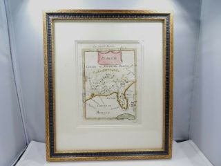
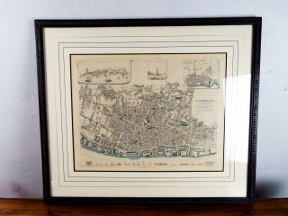
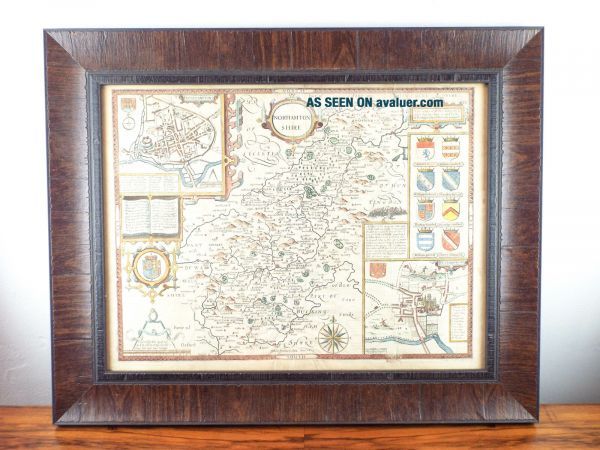
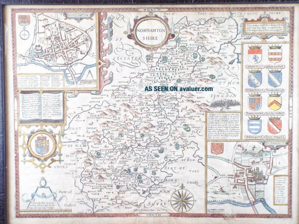
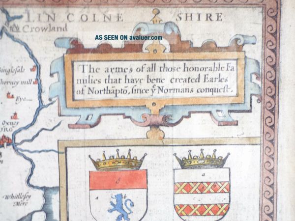
Framed Antique 17th C Hand Color Map Of Northamptonshire England 1611 John Speed
Item History & Price
| Reference Number: Avaluer:27314546 | Cartographer/Publisher: John Speed |
| Date Range: 1600-1699 | Country/Region: United Kingdom |
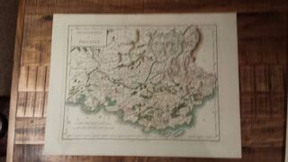
| Original/Reproduction: Antique Original | County: Northamptonshire |
| Year: 1611 |