1913 WINONA ATLAS & FARMERS DIRECTORY ELBA HOMER HART ST CHARLES MINNESOTA BOOK
Item History & Price
| Reference Number: Avaluer:27808907 | Original/Reproduction: Antique Original |
| US State: Minnesota | Format: Atlas |
| Date Range: 1913 | Type: County Map |
| Country/Region: United States of America | Year: 1913 |
READ POSTAGE REQUIREMENTS BELOW BEFORE PAYING.
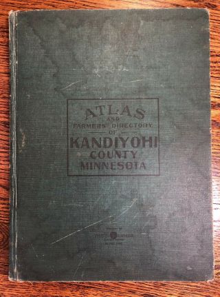
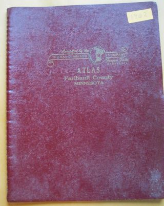
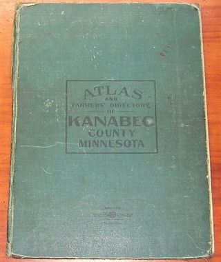
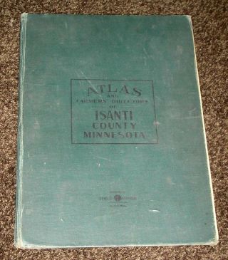
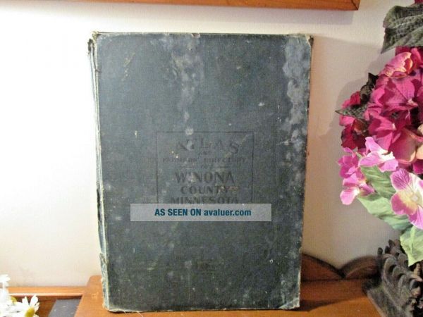
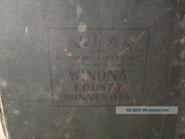
1913 WINONA MINNATLAS & FARMERS DIRECTORYPresenting this FABULOUS EARLY HARDCOVER COUNTY BOOK that shows all the Townships of Winona County, Dresbach, Elba, Fremont, Hart, Homer, Mt Vernon, New Hartford, Norton, Pleasant Hill, Richmond, Rollingstone, St. Charles, Saratoga, Utica, Warren, Whitewater, Wilson, Winona, Wiscoy, the full map of Minnesota & the US, also locations of cities & population, r...ailroads & streams and measures 16" tall by 12" wide.
What a Fantastic County Atlas to add to your Collection or to use.
Postage in USA is $4.25. Watch for my other items up for sale on ebay this week and in my Ebay Store & will combine shipping cost.IF YOU HAVE ANY MORE QUESTIONS OR NEED MORE PHOTOS, JUST GET A HOLD OF ME THROUGH EBAY MESSAGES. We examine everything and describe to our best ability and knowledge. We are not experts. We are selling antiques & something we see as ‘normal aging’, someone else may see as a flaw. It is not possible to point out every detail on every item. If you are unclear about quality, age or condition of any of our items. PLEASE ASK QUESTION BEFORE BUYING. We have bought and sold Antiques for 38 years. THANKS FOR LOOKING.
00052