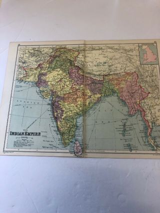
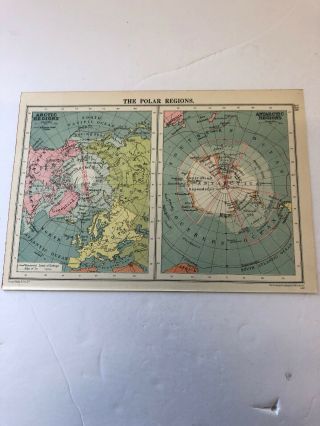
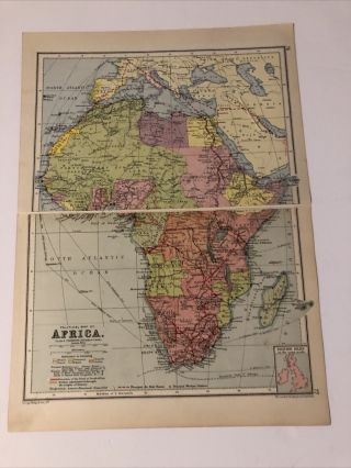
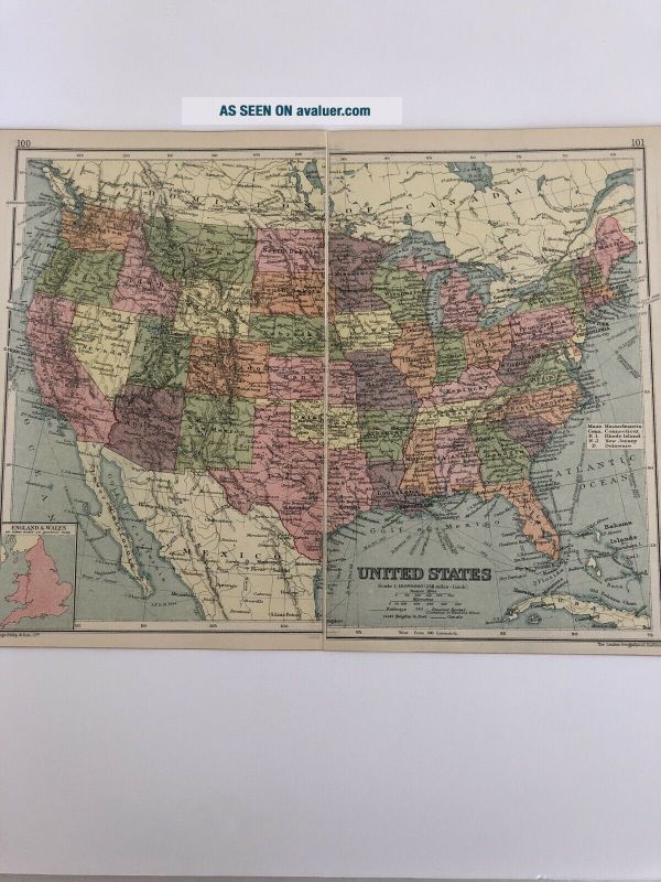
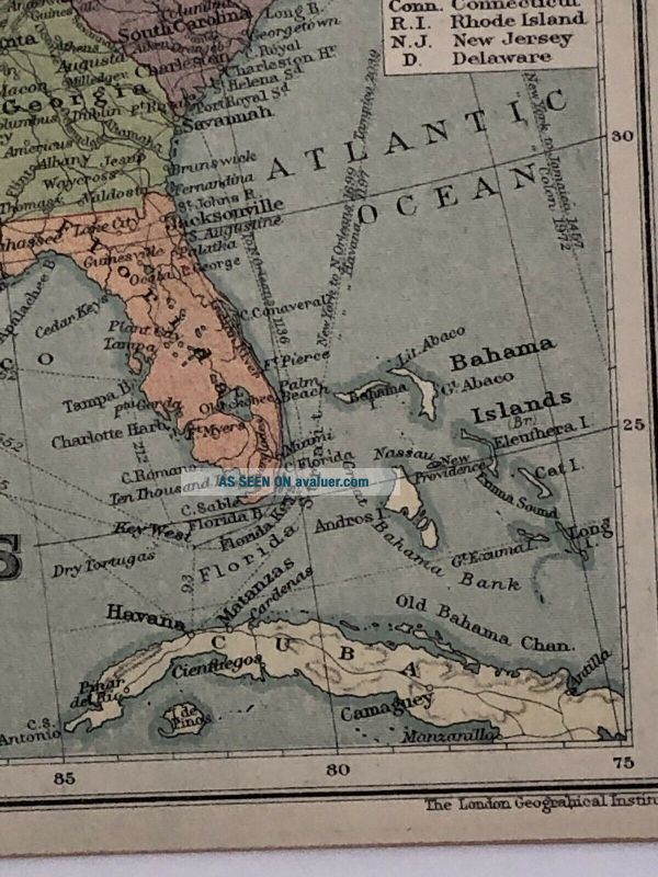
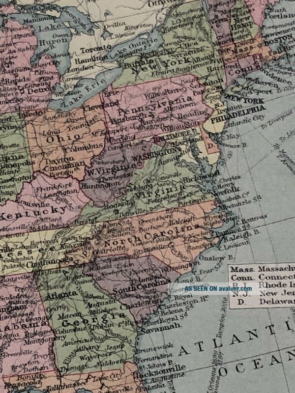
Antique 1930 Map: United States Vintage 90 Years Old Colour Print


Item History & Price

Information:
Reference Number: Avaluer:27830072Year: 1930
Original/Reproduction: Antique Original
Original Description:
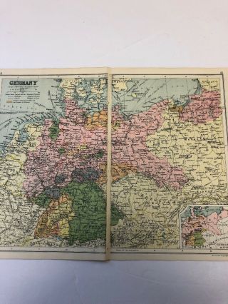
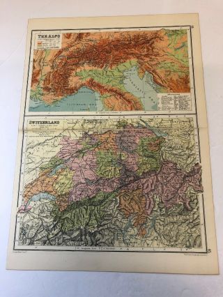
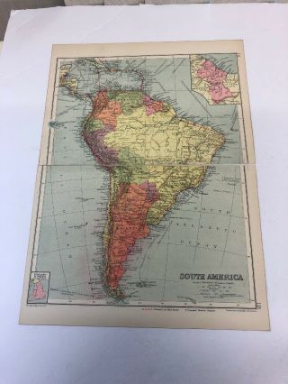
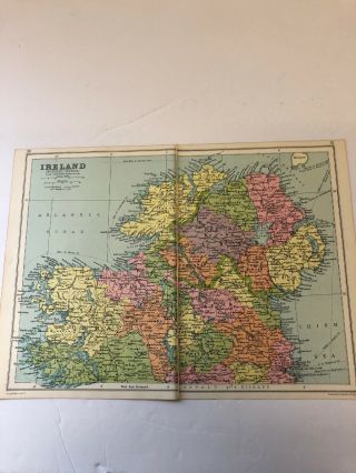
Print from World Atlas Publication around 1930-1934Printed by Oldham’s PressMaps by : George Phillip & Son ltd
CONDITION: Good; suitable for framing. Please check the illustration for any blemishes prior to making your purchase. Virtually all antiquarian images and prints are subject to some normal aging due to use and time which is not obtrusive unless otherwise stated.AUTHENTICITY: This is an authentic print. It is not a modern copy. VERSO: There is different Map /maps printed ...on the reverse side.Either complete or partial The maps are single foldable sheetPage measures approximately 17.2cm x 25cmSingle foldable sheet : 34.4cm x 25cmMap/Maps will be in a cellophane bagged with card and will be sent in a boarded envelope for maximum protection.We offer a no questions asked return policy.SHIPPING WORLDWIDE


    Similar items


  • Antique 1930 Map: Germany & Denmark Vintage 90 Years Old

    Antique 1930 Map: Germany & Denmark Vintage 90 Years Old

  • Antique 1930 Map: Switzerland & The Alps 90 Years Old Vintage Print

    Antique 1930 Map: Switzerland & The Alps 90 Years Old Vintage Print

  • Antique 1930 Map: South America Political 90 Years Old Vintage Print

    Antique 1930 Map: South America Political 90 Years Old Vintage Print

  • Antique 1930 Map: Ireland (northern Section) 90 Years Old Vintage Print

    Antique 1930 Map: Ireland (northern Section) 90 Years Old Vintage Print

  • Antique 1930 Map: The Indian Empire 90 Years Old Vintage Print

    Antique 1930 Map: The Indian Empire 90 Years Old Vintage Print

  • Us Army Signal Corps Ls - 3 Loudspeaker Antique 1930s 1940s United States Vintage

    Us Army Signal Corps Ls - 3 Loudspeaker Antique 1930s 1940s United States Vintage

  • Antique 1930 Map: The Polar Regions 90 Years Old Arctic & Antarctic Regions

    Antique 1930 Map: The Polar Regions 90 Years Old Arctic & Antarctic Regions

  • Antique 1930 Map: Political Africa Vintage 91 Years Old Print

    Antique 1930 Map: Political Africa Vintage 91 Years Old Print


    • You might also like


    • 1860 Mitchell Hand Colored Map Colorado,  Nebraska & Kansas - Civil War Era

      1860 Mitchell Hand Colored Map Colorado, Nebraska & Kansas - Civil War Era

    • 18th Century French Map Of North America

      18th Century French Map Of North America

    • Las Vegas Nevada Vintage 1967 Us Geological Survey Quadrangle Map 4 Panels

      Las Vegas Nevada Vintage 1967 Us Geological Survey Quadrangle Map 4 Panels

    • Rare Antique 1845 Maps United States Exploring Expedition Book Antartica Hawaii

      Rare Antique 1845 Maps United States Exploring Expedition Book Antartica Hawaii

    • Vintage 1926 Map Hollywood From The Best Surveys Of The Time

      Vintage 1926 Map Hollywood From The Best Surveys Of The Time

    • American Continent (western Hemisphere) 1747 Bowen Antique Copper Engraved Map

      American Continent (western Hemisphere) 1747 Bowen Antique Copper Engraved Map

    • Gulf Coast Florida Texas United States 1705 De Fer Unusual Antique Engraved Map

      Gulf Coast Florida Texas United States 1705 De Fer Unusual Antique Engraved Map

    • California As Island United States 1700 De Fer Unusual First Edition Antique Map

      California As Island United States 1700 De Fer Unusual First Edition Antique Map

Avaluer          About Us          Privacy Policy          Contact Us          UP
© 2022, avaluer.net, Inc. or its affiliates