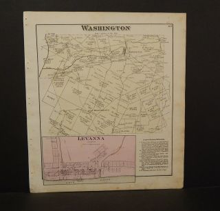
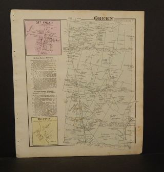
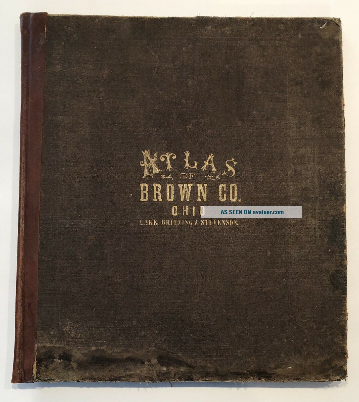
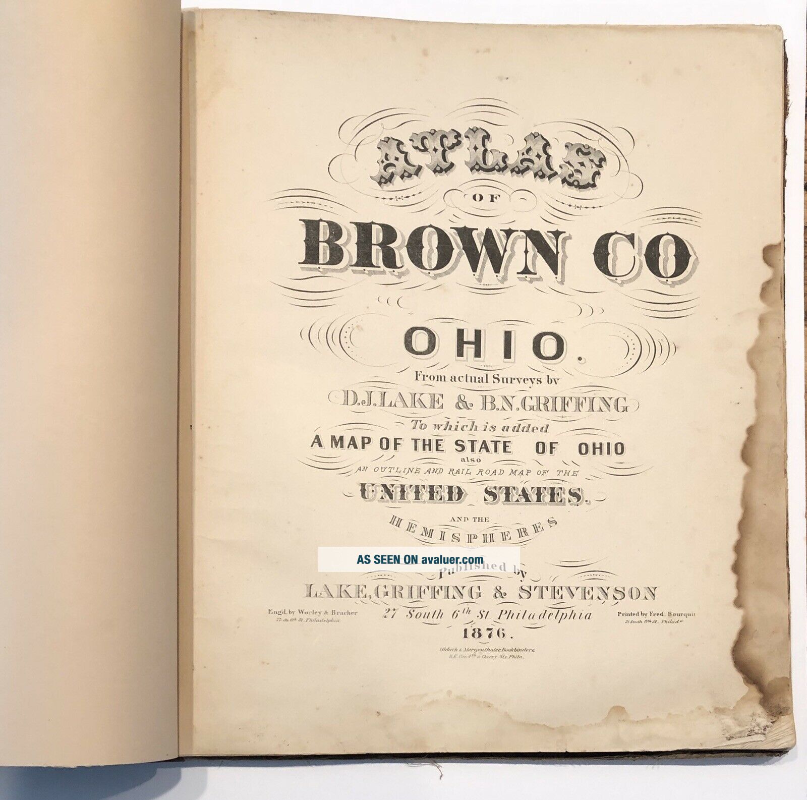
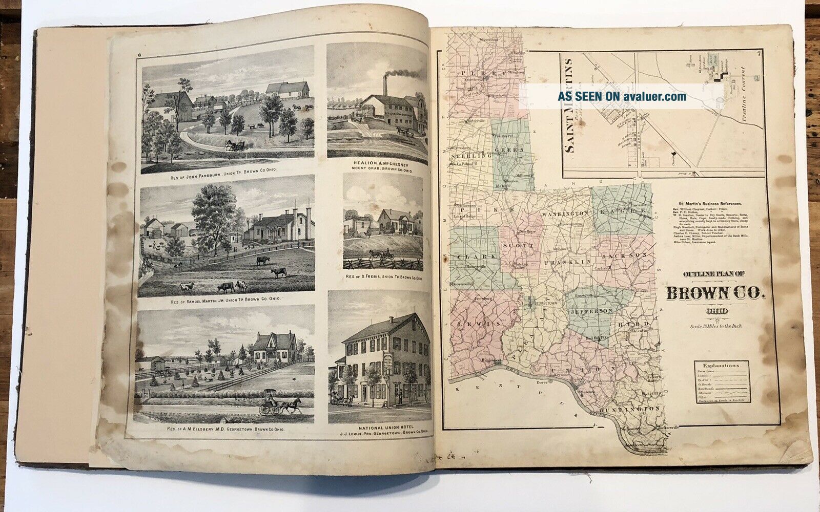
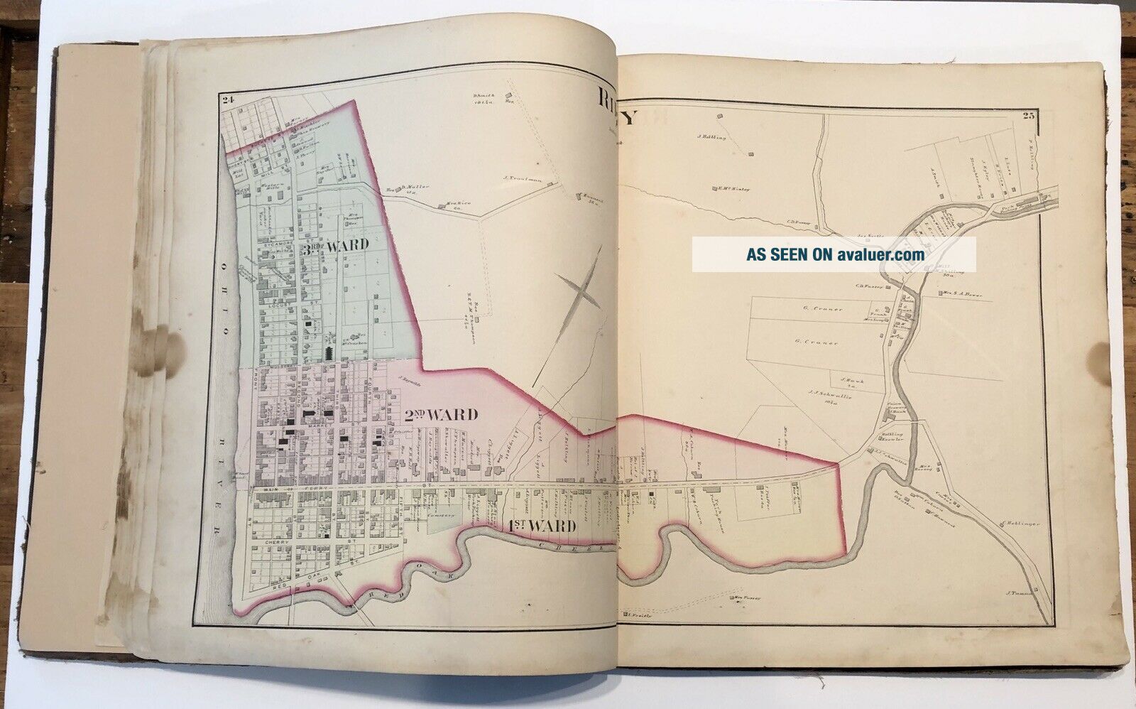
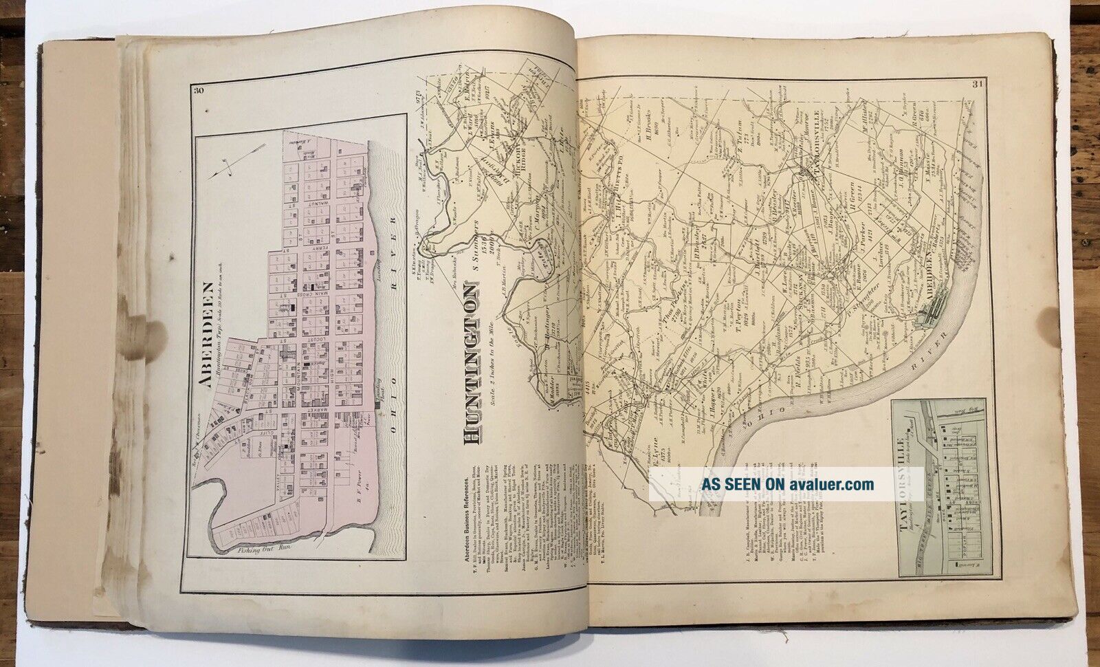
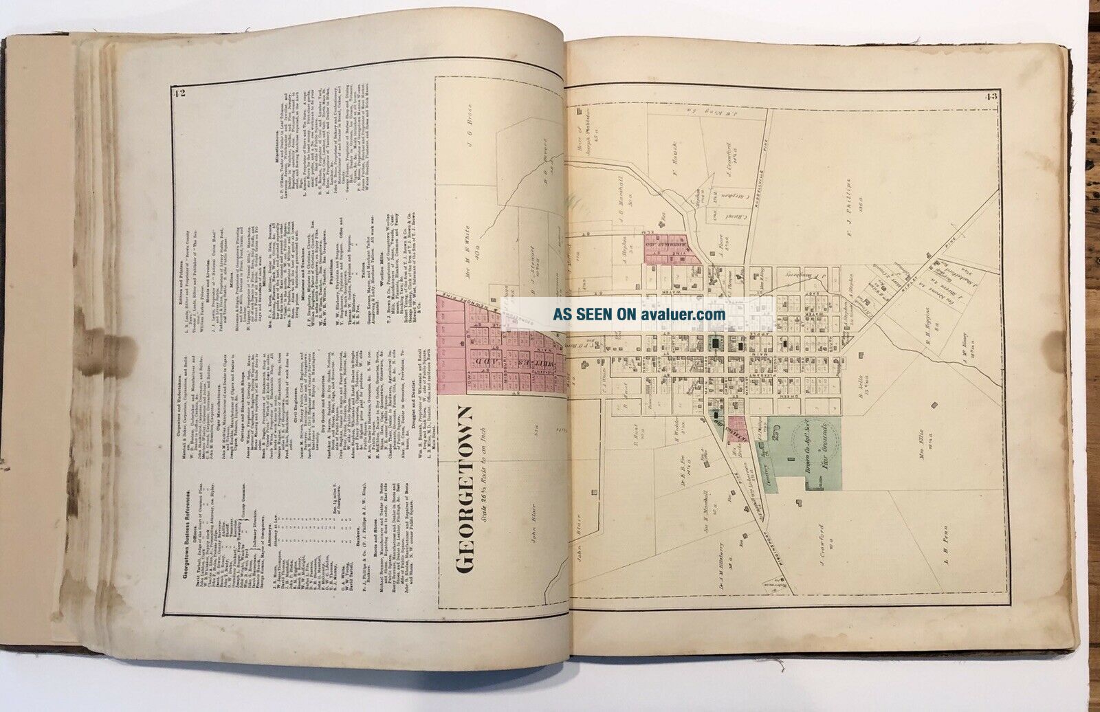
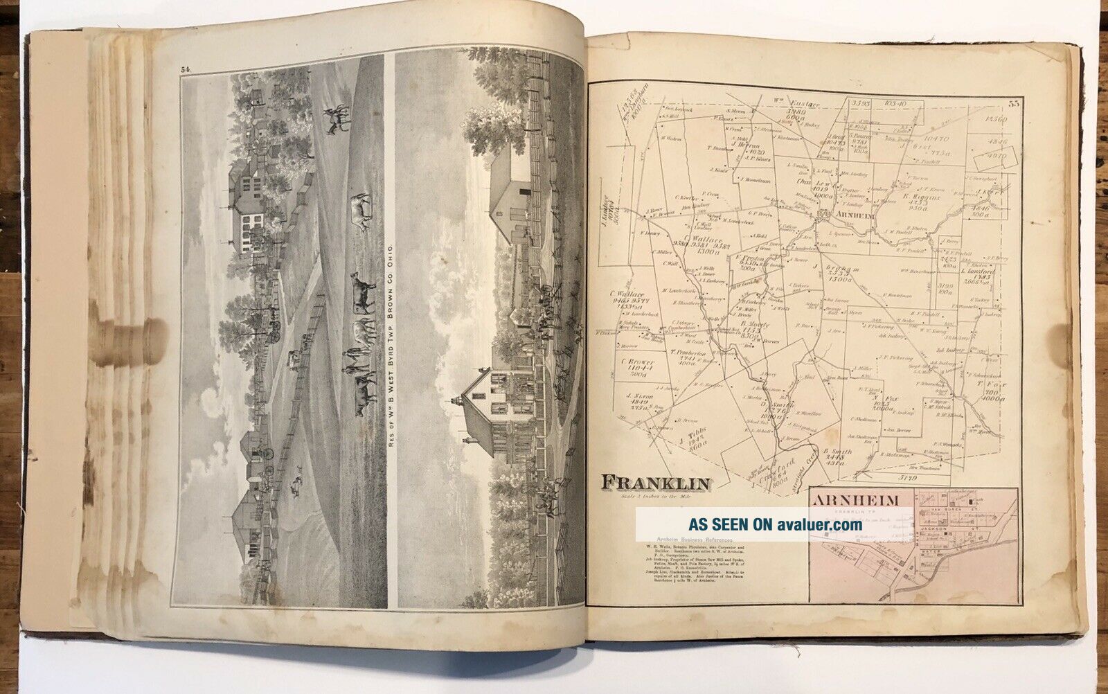
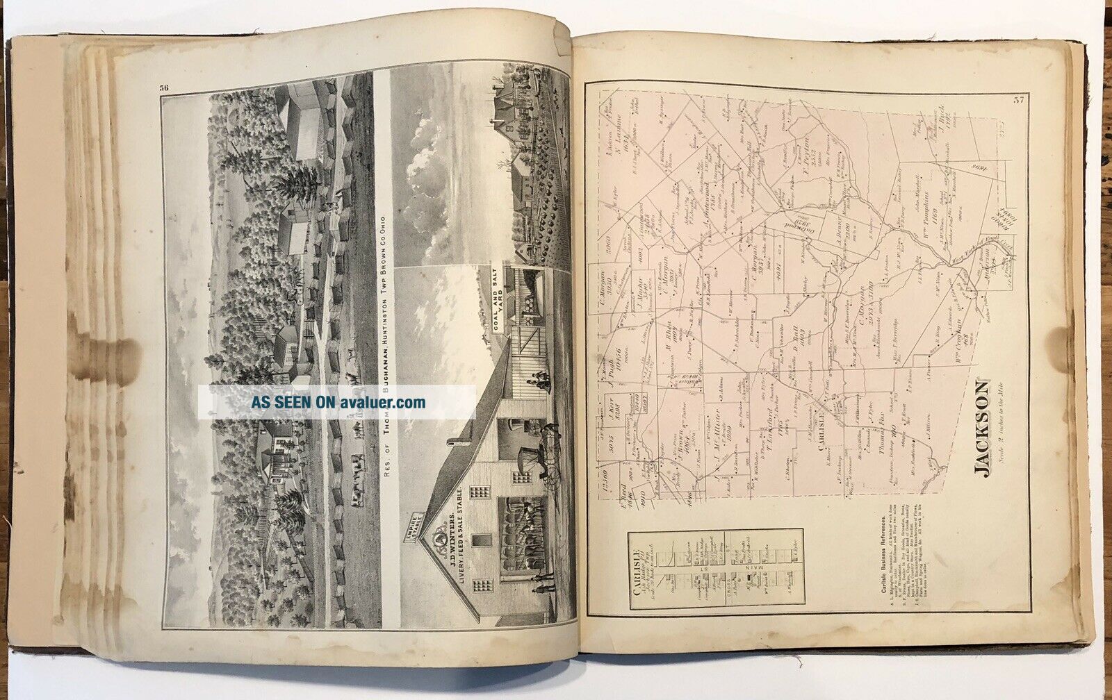
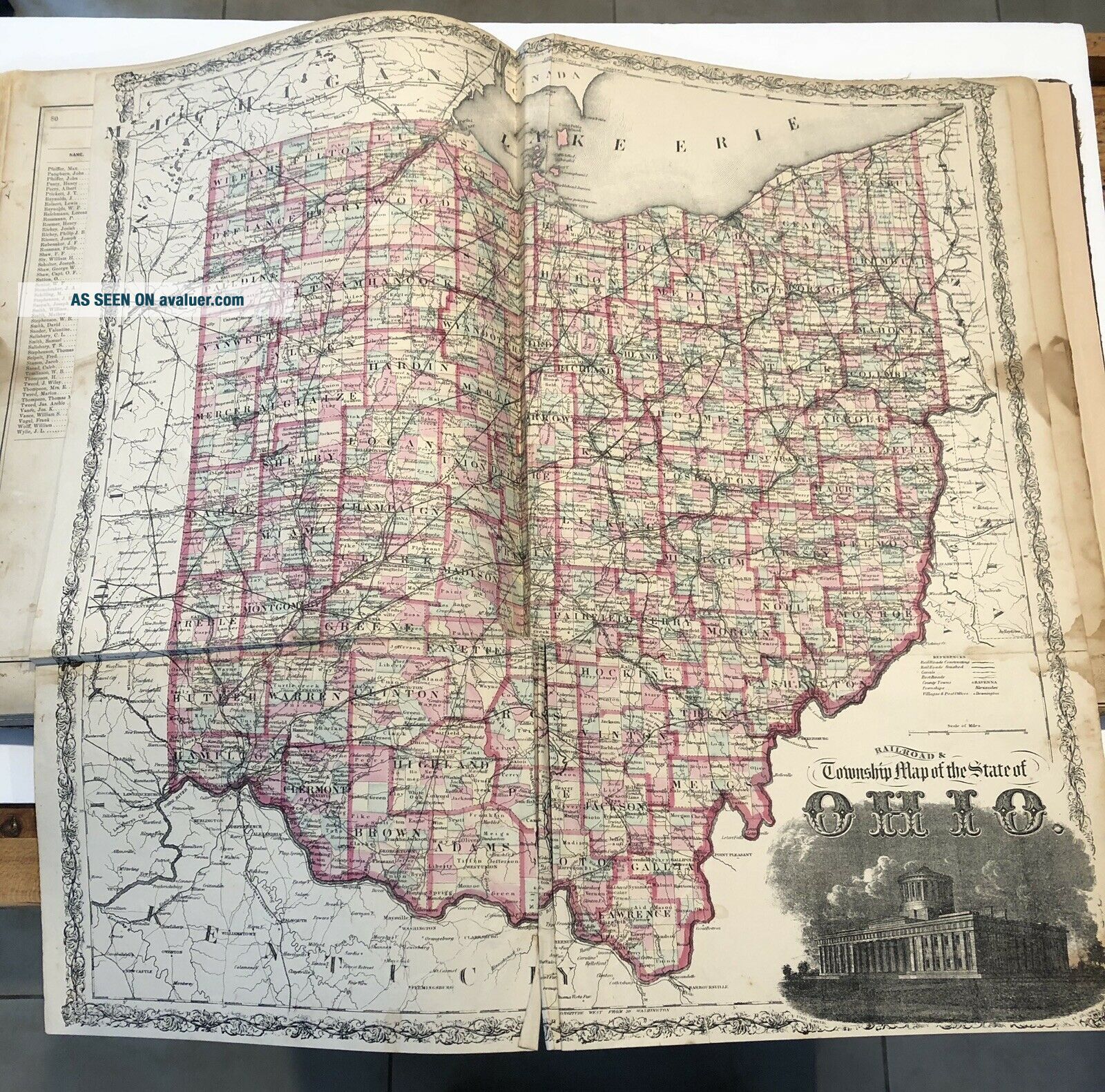
OH Ohio Brown County Ripley Georgetown Sardinia Aberdeen 1876 Atlas Map Book


Item History & Price

Information:
Reference Number: Avaluer:28115
Original Description:
Brown County, Ohio atlas - front cover measures approximately 14.5”heavy foxing/soiling/stains, edge nicks, paper loss, soft corners, tears, ripplings&h to any address in the U.S. is $35.00; no international shipping


    Similar items


  • Brown County Fair Georgetown Ohio Fenton Pitcher Cobalt Blue 57 Of 150 Souvenir

    Brown County Fair Georgetown Ohio Fenton Pitcher Cobalt Blue 57 Of 150 Souvenir

  • Rppc Postcard Main Street Ripley Ripliy Ohio Brown County Great Flood 1913 Union

    Rppc Postcard Main Street Ripley Ripliy Ohio Brown County Great Flood 1913 Union

  • Rppc Real Photo Postcard Of The Flooded Streets In Ripley,  Ohio Brown County

    Rppc Real Photo Postcard Of The Flooded Streets In Ripley, Ohio Brown County

  • 1992 Brown County Fair Georgetown Ohio Fenton Glass Bell

    1992 Brown County Fair Georgetown Ohio Fenton Glass Bell

  • , Georgetown Ohio Brown County Ohio - Cotton Tapestry Throw Blanket 49”x 44”

    , Georgetown Ohio Brown County Ohio - Cotton Tapestry Throw Blanket 49”x 44”

  • Ohio Brown County Map Washington Township 1876 Dbl Side W9 65

    Ohio Brown County Map Washington Township 1876 Dbl Side W9 65

  • Ohio Brown County Map Green Township 1876 Dbl Side W9 61

    Ohio Brown County Map Green Township 1876 Dbl Side W9 61

  • London Oh Ohio Madison County Postcard

    London Oh Ohio Madison County Postcard


    • You might also like


    • 1860 Mitchell Hand Colored Map Colorado,  Nebraska & Kansas - Civil War Era

      1860 Mitchell Hand Colored Map Colorado, Nebraska & Kansas - Civil War Era

    • 18th Century French Map Of North America

      18th Century French Map Of North America

    • Las Vegas Nevada Vintage 1967 Us Geological Survey Quadrangle Map 4 Panels

      Las Vegas Nevada Vintage 1967 Us Geological Survey Quadrangle Map 4 Panels

    • Rare Antique 1845 Maps United States Exploring Expedition Book Antartica Hawaii

      Rare Antique 1845 Maps United States Exploring Expedition Book Antartica Hawaii

    • Vintage 1926 Map Hollywood From The Best Surveys Of The Time

      Vintage 1926 Map Hollywood From The Best Surveys Of The Time

    • American Continent (western Hemisphere) 1747 Bowen Antique Copper Engraved Map

      American Continent (western Hemisphere) 1747 Bowen Antique Copper Engraved Map

    • Gulf Coast Florida Texas United States 1705 De Fer Unusual Antique Engraved Map

      Gulf Coast Florida Texas United States 1705 De Fer Unusual Antique Engraved Map

    • California As Island United States 1700 De Fer Unusual First Edition Antique Map

      California As Island United States 1700 De Fer Unusual First Edition Antique Map

Avaluer          About Us          Privacy Policy          Contact Us          UP
© 2022, avaluer.net, Inc. or its affiliates