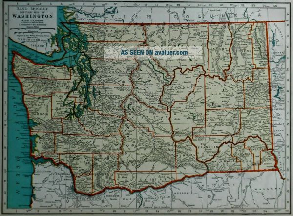
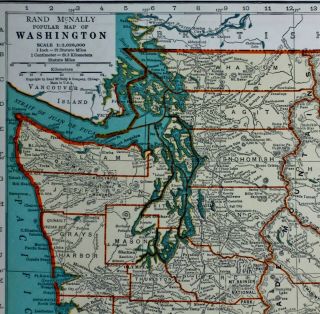
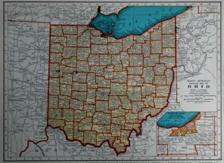
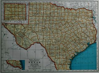
L@@K Vintage 1939 World Atlas Colored Map Of Washington & Virginia VA WWII OLD


Item History & Price

Information:
Reference Number: Avaluer:28649915Format: Atlas Map
Country Region: WorldFeatures: Vintage
Topic: WWII (1939-45)Type: Map
Publication Year: 1939Year: 1939
North America States & Provinces: Washington & VirginiaUS State: Virginia, Washington
Continent: North AmericaDate Range: 1930-1939
Era: WWIICountry/Region: United States of America
Original Description:
Vintage 1939 World Atlas Map of  Washington State & Virginia A Wonderful Gift!**Perfect For Home Schooling!** 

Great OLD Map from the "COLLIER'S WORLD ATLAS & GAZETTEER"The Book Is Copyright 193981 Years Old!Iowa On One Side The State Of Washington. On The Other Side Is Virginia. (Contact Us For More Pictures)The Page Measures About 10 3/4 x 14 1/8"Very Historic!Very Educational. See What These States used to look like!Great Detail!See All P...hotosBuy It Now!Wonderful Colors!The Edges Of The Page Are Slightly Yellowed From Age, As ExpectedSee All PhotosIt Will Look Great Matted & Framed!**The Actual Page!**NOT A COPY!A Really Nice Gift!A GREAT House Warming Gift!Teachers, Students, Authors, Historians, Artists,  Real Estate Agents, Travelers,  Interior Decorators & Politicians LOVE Them!A Wonderful Gift For A Special Client!Awesome Décor For Your Home, Business,  Studio, Library,  Restaurant, Club Or Bar!A "Must" For Your Genealogy Research Project!Super For a Local Business or Office!Shipping by 1st Class or Priority MailWe Will Combine Shipping On Up To 6 Maps For The Same Shipping Fee As One!Check Out All Of Our Art,  Maps, Prints, Books And Other Great Items!Email Us With Any Questions or For an International Shipping QuoteBe sure to add me to your favorites list!Thanks For Looking!International Buyers – Please Note:

Import duties, taxes, and charges are not included in the item price or shipping cost. These charges are the buyer's responsibility
Please check with your country's customs office to determine what these additional costs will be prior to bidding or buying


00037


    Similar items


  • L@@k Vintage 1939 World Atlas Colored Map Of Ohio,  Oh & Oklahoma,  Ok Wwii Old

    L@@k Vintage 1939 World Atlas Colored Map Of Ohio, Oh & Oklahoma, Ok Wwii Old

  • L@@k Vintage 1939 World Atlas Colored Maps Of Florida Fl & Connecticut Ct Old

    L@@k Vintage 1939 World Atlas Colored Maps Of Florida Fl & Connecticut Ct Old

  • L@@k Vintage 1939 World Atlas Colored Map Of Utah & Vermont Wwii Old & Awesome

    L@@k Vintage 1939 World Atlas Colored Map Of Utah & Vermont Wwii Old & Awesome

  • L@@k Vintage 1939 World Atlas Colored Maps Of Florida Fl & Connecticut Ct Old

    L@@k Vintage 1939 World Atlas Colored Maps Of Florida Fl & Connecticut Ct Old

  • L@@k Vintage 1939 World Atlas Colored Map Of Arizona Az & Arkansas Ar Wwii Old

    L@@k Vintage 1939 World Atlas Colored Map Of Arizona Az & Arkansas Ar Wwii Old

  • L@@k Vintage 1939 World Atlas Colored Map Of Ohio,  Oh & Oklahoma,  Ok Wwii Old

    L@@k Vintage 1939 World Atlas Colored Map Of Ohio, Oh & Oklahoma, Ok Wwii Old

  • L@@k Vintage 1939 World Atlas Colored Map Of Texas,  Tx & South Dakota,  Sd Old

    L@@k Vintage 1939 World Atlas Colored Map Of Texas, Tx & South Dakota, Sd Old


    • You might also like


    • 1860 Mitchell Hand Colored Map Colorado,  Nebraska & Kansas - Civil War Era

      1860 Mitchell Hand Colored Map Colorado, Nebraska & Kansas - Civil War Era

    • 18th Century French Map Of North America

      18th Century French Map Of North America

    • Las Vegas Nevada Vintage 1967 Us Geological Survey Quadrangle Map 4 Panels

      Las Vegas Nevada Vintage 1967 Us Geological Survey Quadrangle Map 4 Panels

    • Rare Antique 1845 Maps United States Exploring Expedition Book Antartica Hawaii

      Rare Antique 1845 Maps United States Exploring Expedition Book Antartica Hawaii

    • Vintage 1926 Map Hollywood From The Best Surveys Of The Time

      Vintage 1926 Map Hollywood From The Best Surveys Of The Time

    • American Continent (western Hemisphere) 1747 Bowen Antique Copper Engraved Map

      American Continent (western Hemisphere) 1747 Bowen Antique Copper Engraved Map

    • Gulf Coast Florida Texas United States 1705 De Fer Unusual Antique Engraved Map

      Gulf Coast Florida Texas United States 1705 De Fer Unusual Antique Engraved Map

    • California As Island United States 1700 De Fer Unusual First Edition Antique Map

      California As Island United States 1700 De Fer Unusual First Edition Antique Map

Avaluer          About Us          Privacy Policy          Contact Us          UP
© 2022, avaluer.net, Inc. or its affiliates