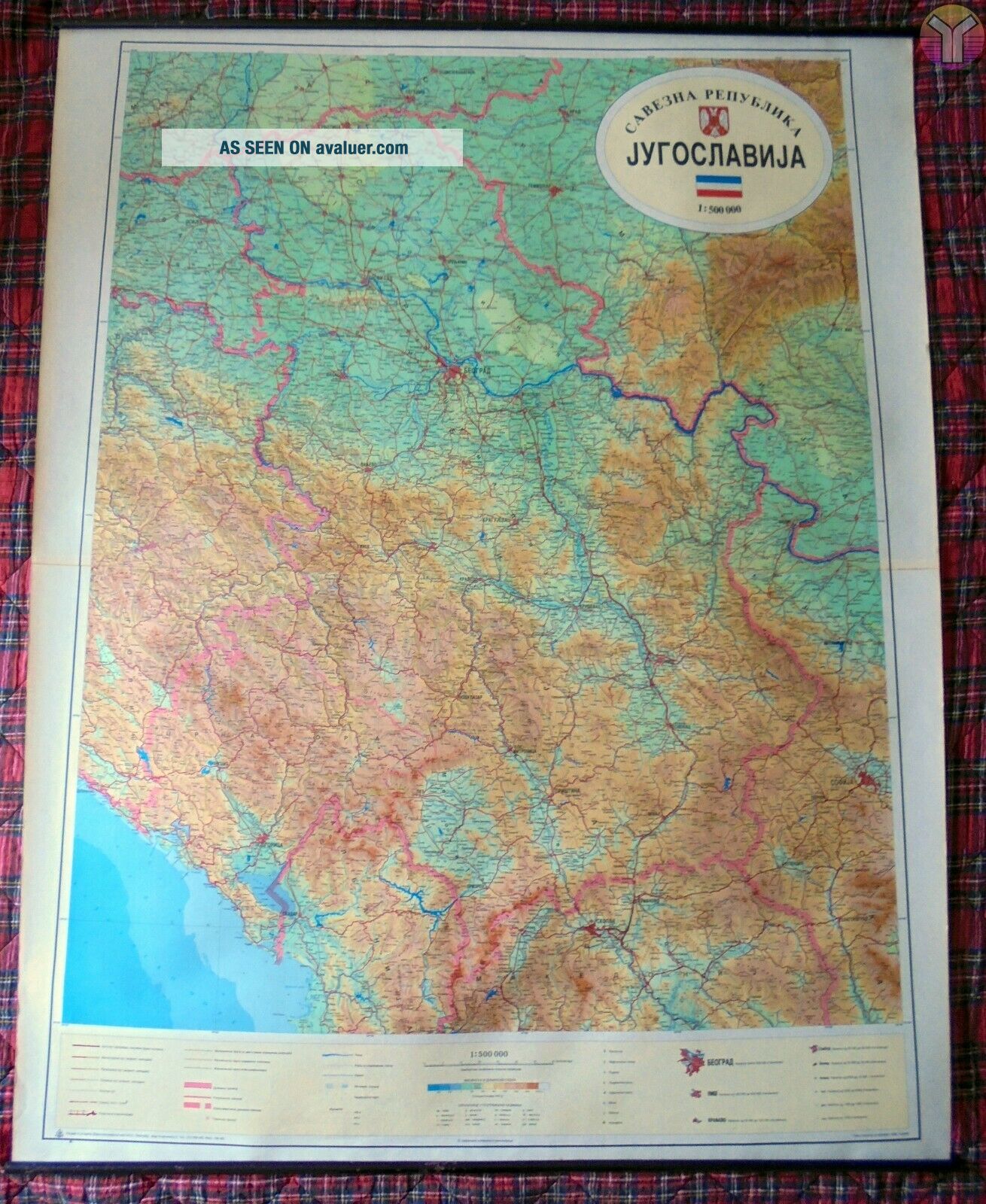
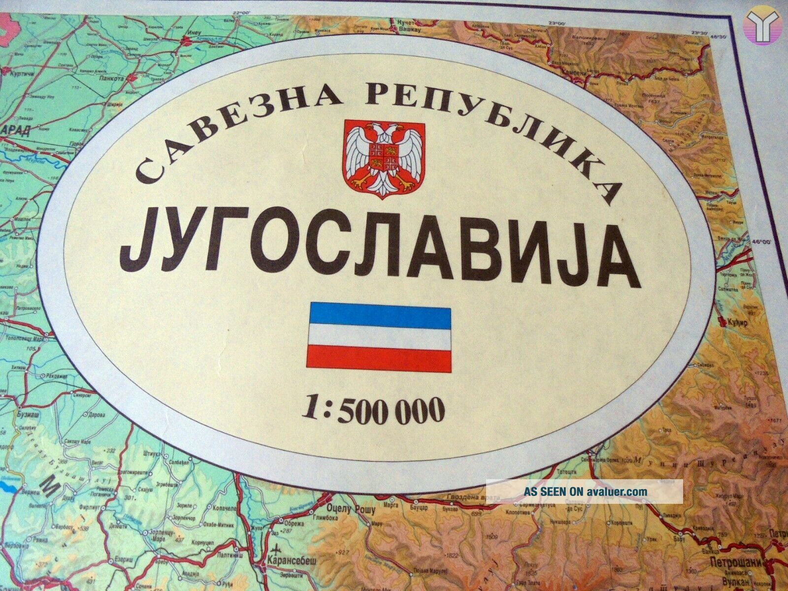
BIG MAP Of Federal YUGOSLAVIA 1995 - Karta Savezne Republike Jugoslavije


Item History & Price

Information:
Reference Number: Avaluer:29278Original/Reproduction: Vintage Original
Year: 1995Format: Wall Map
Date Range: 1990-1999Type: Physical Map
Country/Region: Yugoslavia
Original Description:
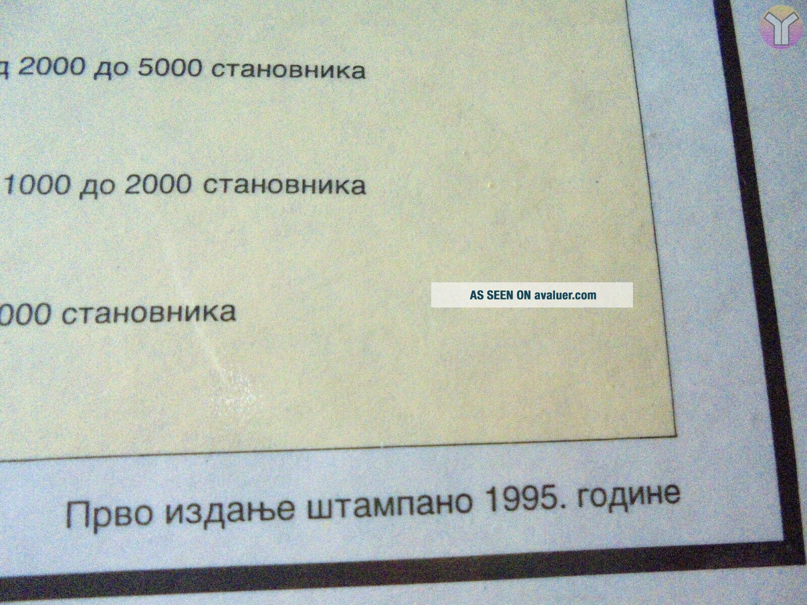
Map of Yugoslavia, printed in 1995, after Balkan war by Vojnogeografski institut Beograd.Size: 200cm*100cmCondition : usedLanguage : SerbianItem weight: 550gr without packing/wrapping--------------------------------------------------------------------------Shipping is worldwide, flat rate, via airmail as printed matter, packed in cardboard tube.Will combine shipping, just ask me for new invoice.


    Similar items


  • Civil War Map Of Federal & Confederate Armies Kentucky & Tennessee 1894

    Civil War Map Of Federal & Confederate Armies Kentucky & Tennessee 1894

  • Antique Magic Lantern Slide Map Of Federal Territory C1920 Photo Australia

    Antique Magic Lantern Slide Map Of Federal Territory C1920 Photo Australia

  • Vintage 1960 Map Of Federation Of Malaya Johore Johor Bahru Kuala Lumpur Malacca

    Vintage 1960 Map Of Federation Of Malaya Johore Johor Bahru Kuala Lumpur Malacca

  • Queensland Rail - Railway Map Of Queensland Nov 1995 & Qld Railways System Map

    Queensland Rail - Railway Map Of Queensland Nov 1995 & Qld Railways System Map

  • 1926 Map Of Hungary Yugoslavia & Albania By George Philip.  Vintage

    1926 Map Of Hungary Yugoslavia & Albania By George Philip. Vintage

  • 1946 Sketch Map Of Federal Power Developments Pacific Nw Or Wa Snake Basin

    1946 Sketch Map Of Federal Power Developments Pacific Nw Or Wa Snake Basin

  • Miniature Vintage Big Map Of The World For 1/6 1/12 Scale Dollhouse Room Wall

    Miniature Vintage Big Map Of The World For 1/6 1/12 Scale Dollhouse Room Wall

  • Vintage 1976 Mcdonalds & Sunoco Big Map Of Mcdonalds Locations Jersey Penn.

    Vintage 1976 Mcdonalds & Sunoco Big Map Of Mcdonalds Locations Jersey Penn.


    • You might also like


    • Hungary & Romania 1579 (1584) Ortelius Unusual Antique Copper Engraved Map

      Hungary & Romania 1579 (1584) Ortelius Unusual Antique Copper Engraved Map

    • Brussels Bruxelles Belfium 1777 De Ferraris & Dupuis Large Antique Map Sheet Xxi

      Brussels Bruxelles Belfium 1777 De Ferraris & Dupuis Large Antique Map Sheet Xxi

    • 1616 Atlas Map Of Iceland.

      1616 Atlas Map Of Iceland.

    • Kazan Russia 1767 Le Clerc/lespinasse Antique Copper Engraved City View

      Kazan Russia 1767 Le Clerc/lespinasse Antique Copper Engraved City View

    • 1899 Stanford,  Folding Map Of Norwich,  Norfolk,  Arthur Collins,  Jarrold & Sons,

      1899 Stanford, Folding Map Of Norwich, Norfolk, Arthur Collins, Jarrold & Sons,

    • 1948 Vintage Linen Colour Map Geological Survey Ten Mile Of Great Britain

      1948 Vintage Linen Colour Map Geological Survey Ten Mile Of Great Britain

    • 1944 Map Flying Bombs Sussex Ww2 Newspaper Military Kent Courier German V1 V2

      1944 Map Flying Bombs Sussex Ww2 Newspaper Military Kent Courier German V1 V2

    • Dated 1638 Vellum Map Of Icklesham Sussex Showing Land Uses Owners Etc

      Dated 1638 Vellum Map Of Icklesham Sussex Showing Land Uses Owners Etc

Avaluer          About Us          Privacy Policy          Contact Us          UP
© 2022, avaluer.net, Inc. or its affiliates