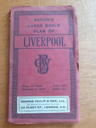
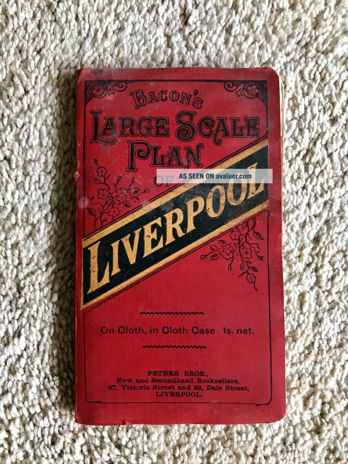
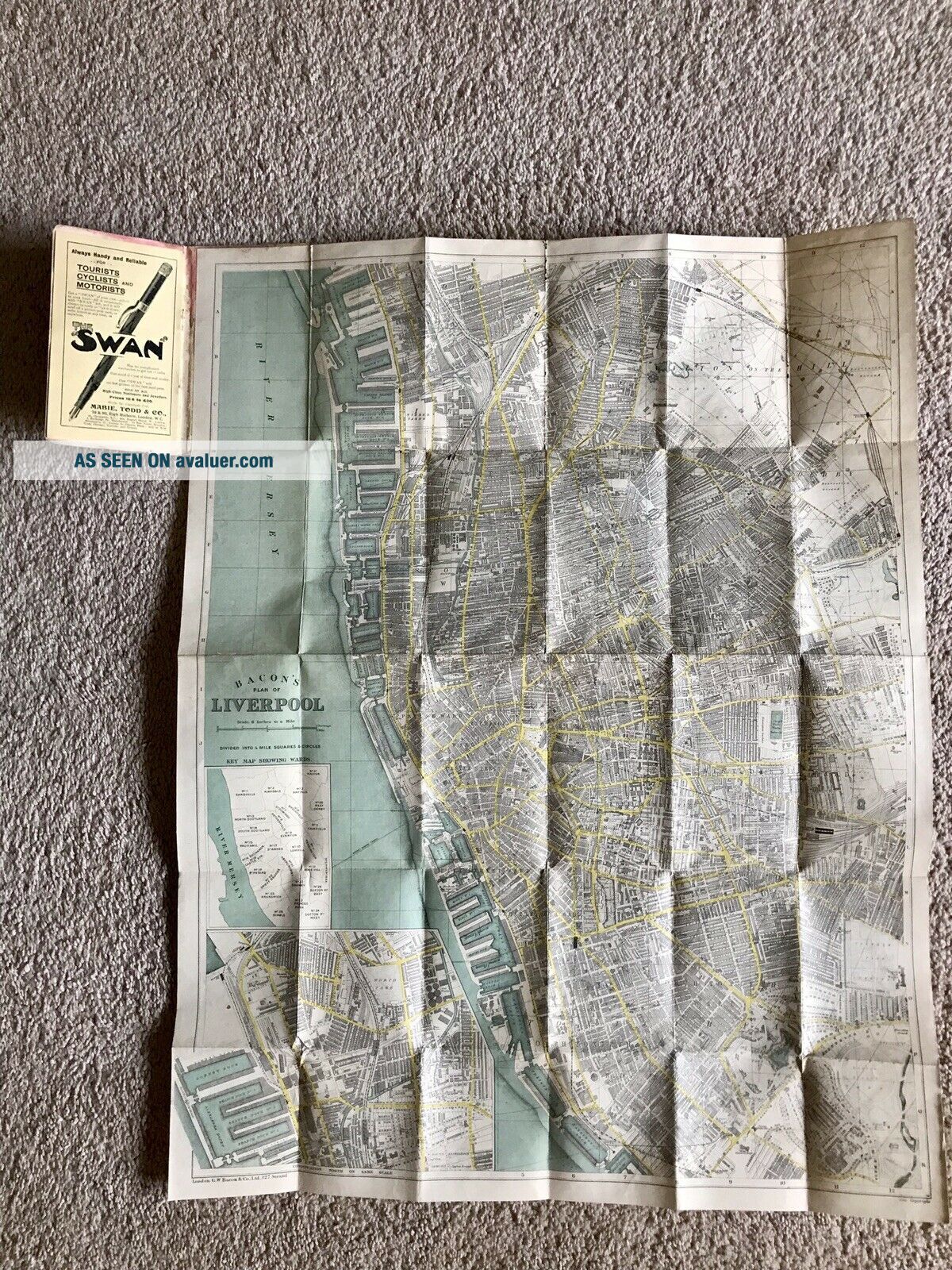
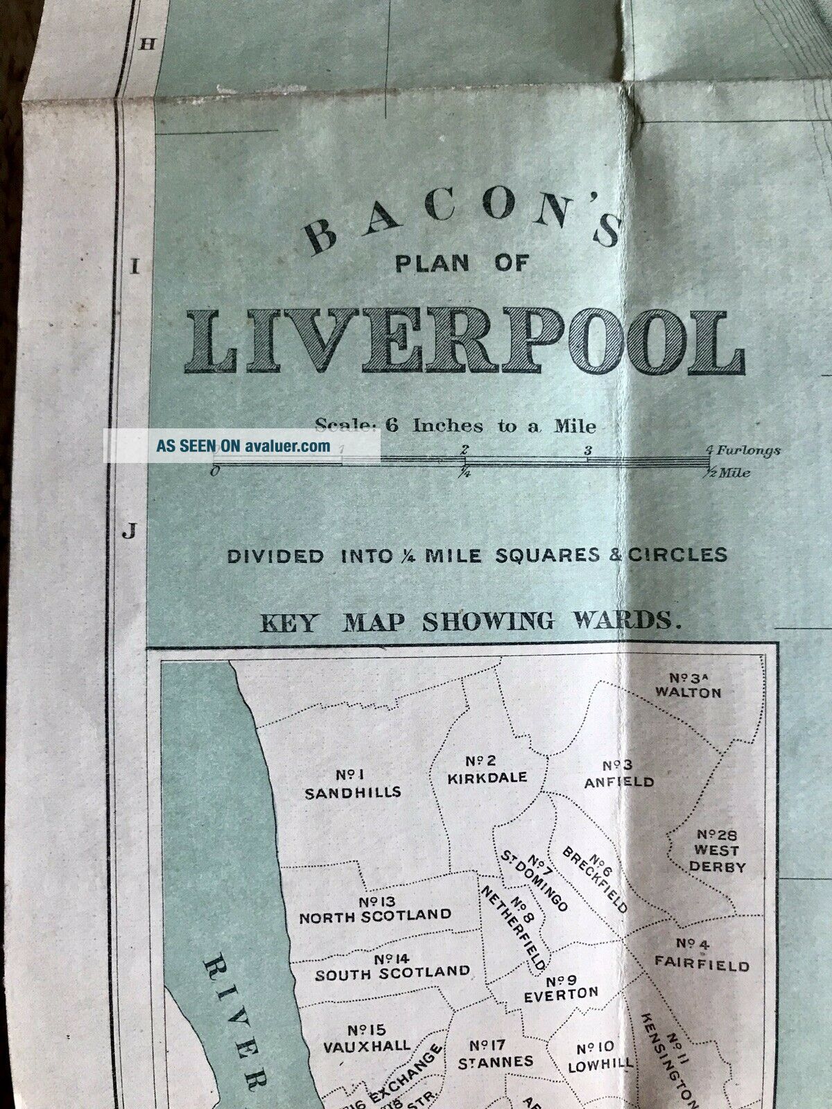
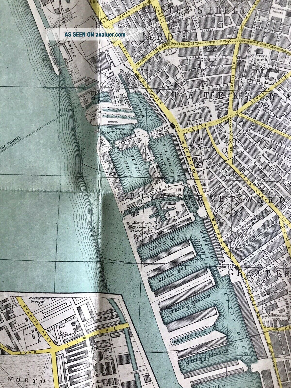
Bacon’s Large Scale Plan Of Liverpool (1910, Cloth Map)


Item History & Price

Information:
Reference Number: Avaluer:29884City: Liverpool
Original Description:
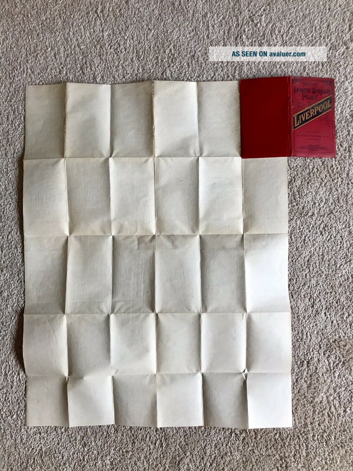
Bacon’s Large Scale Plan of Liverpool (1910, Cloth Map). Large map printed on cloth 1910. Beautiful map with no markings! Truly a unique map! Measures 29 5/8" x 22 1/4". Printed area measures c. 28" x 21 3/8".


    Similar items


  • Bacon

    Bacon ' S Large Scale Plan Of Liverpool

  • Bacon’s Large Scale Plan Of York C1900.  Folding Plan On Cloth

    Bacon’s Large Scale Plan Of York C1900. Folding Plan On Cloth

  • Vintage Bacon

    Vintage Bacon ' S Large Scale Plan Of Croydon, 4 Inch To 1 Mile (a14)

  • Bacon

    Bacon ' S Large Scale Plan Of Plymouth Devonport And Stonehouse With Street Index

  • Bacon

    Bacon ' S Large Scale Plan Of Dublin Map Vintage 1920 ' S 1930 ' S G. W. Bacon & Co.

  • Bacon

    Bacon ' S Large Scale Plan Of Leeds (c1900) Yorkshire City, Paper Folding Map

  • Bacon

    Bacon ' S Large Scale Plan Of Ealing. Circa 1930

  • Bacon

    Bacon ' S Large Scale Plan Of Cardiff Wales Map Appears Circa 1920 ' S


    • You might also like


    • Hungary & Romania 1579 (1584) Ortelius Unusual Antique Copper Engraved Map

      Hungary & Romania 1579 (1584) Ortelius Unusual Antique Copper Engraved Map

    • Brussels Bruxelles Belfium 1777 De Ferraris & Dupuis Large Antique Map Sheet Xxi

      Brussels Bruxelles Belfium 1777 De Ferraris & Dupuis Large Antique Map Sheet Xxi

    • 1616 Atlas Map Of Iceland.

      1616 Atlas Map Of Iceland.

    • Kazan Russia 1767 Le Clerc/lespinasse Antique Copper Engraved City View

      Kazan Russia 1767 Le Clerc/lespinasse Antique Copper Engraved City View

    • 1899 Stanford,  Folding Map Of Norwich,  Norfolk,  Arthur Collins,  Jarrold & Sons,

      1899 Stanford, Folding Map Of Norwich, Norfolk, Arthur Collins, Jarrold & Sons,

    • 1948 Vintage Linen Colour Map Geological Survey Ten Mile Of Great Britain

      1948 Vintage Linen Colour Map Geological Survey Ten Mile Of Great Britain

    • 1944 Map Flying Bombs Sussex Ww2 Newspaper Military Kent Courier German V1 V2

      1944 Map Flying Bombs Sussex Ww2 Newspaper Military Kent Courier German V1 V2

    • Dated 1638 Vellum Map Of Icklesham Sussex Showing Land Uses Owners Etc

      Dated 1638 Vellum Map Of Icklesham Sussex Showing Land Uses Owners Etc

Avaluer          About Us          Privacy Policy          Contact Us          UP
© 2022, avaluer.net, Inc. or its affiliates