(4) Vintage 1940 ' S WW2 Military Maps Of Europe, Richfield, WOR, Kaltenborn ' S


Item History & Price

Information:
Reference Number: Avaluer:29942142Era: 1940s
Type: world wide news mapPrinting Technique: Lithography
Year: 1940'sOriginal/Reproduction: Vintage Original
Date Range: 1940'sFormat: Sheet Map
Original Description:
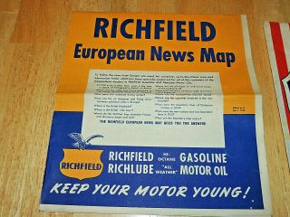
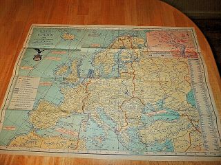
Nice Collection of (4) 1940's WWII Era Maps of Euorpe.
Included are:
Richfield World-Wide News Map.
H.V. Kaltenborn's Map of Europe with area population
and natural resources.
Richfield European news map.
WOR International Radio News Map second edition.
All are in good condition some may show some wear around
the edges and some have minor tears in the creases, overall very
interesting to read and see the changes a war will bring.
Please check out my oth...er items!Please add me to your favorites list!


    Similar items


  • Vintage 1940

    Vintage 1940 ' S Ww2 Military Silk Flag For Navy Good Luck Meat Ball Battleship 02

  • Wwii Us Army Gi Hbt Cap Size 7 1/4 - - Vintage 1940

    Wwii Us Army Gi Hbt Cap Size 7 1/4 - - Vintage 1940 ' S Ww2 Men ' S Cap Hat

  • Vintage 1940’s Ww2 Armortred Brown Leather Military Service Combat Boots

    Vintage 1940’s Ww2 Armortred Brown Leather Military Service Combat Boots

  • Vintage 1940

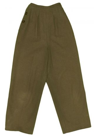
    Vintage 1940 ' S Ww2 Women ' S Military Army Trouser 387a Pants Liner Wool Sz 12r

  • Vintage 1940

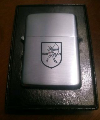
    Vintage 1940 ' S Ww2 Era Bowman Zippo Lighter 3 - Hinge Pat 2032695 Bradford Pa Usa

  • Vintage 1940

    Vintage 1940 ' S Ww2 Or 50 ' S U. S. Military Black Leather Oxfords Shoes 9. 5 E

  • Vintage 1940

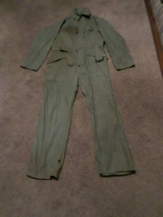
    Vintage 1940 ' S Ww2 Us Military Mechanics Coveralls 13 Star Buttons 42r

  • Rolex Tudor Vintage 1940

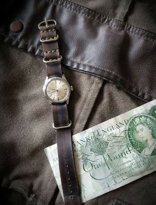
    Rolex Tudor Vintage 1940 ' S Oyster Military Style Timepiece Ww2


    • You might also like


    • Hungary & Romania 1579 (1584) Ortelius Unusual Antique Copper Engraved Map

      Hungary & Romania 1579 (1584) Ortelius Unusual Antique Copper Engraved Map

    • Brussels Bruxelles Belfium 1777 De Ferraris & Dupuis Large Antique Map Sheet Xxi

      Brussels Bruxelles Belfium 1777 De Ferraris & Dupuis Large Antique Map Sheet Xxi

    • 1616 Atlas Map Of Iceland.

      1616 Atlas Map Of Iceland.

    • Kazan Russia 1767 Le Clerc/lespinasse Antique Copper Engraved City View

      Kazan Russia 1767 Le Clerc/lespinasse Antique Copper Engraved City View

    • 1899 Stanford,  Folding Map Of Norwich,  Norfolk,  Arthur Collins,  Jarrold & Sons,

      1899 Stanford, Folding Map Of Norwich, Norfolk, Arthur Collins, Jarrold & Sons,

    • 1948 Vintage Linen Colour Map Geological Survey Ten Mile Of Great Britain

      1948 Vintage Linen Colour Map Geological Survey Ten Mile Of Great Britain

    • 1944 Map Flying Bombs Sussex Ww2 Newspaper Military Kent Courier German V1 V2

      1944 Map Flying Bombs Sussex Ww2 Newspaper Military Kent Courier German V1 V2

    • Dated 1638 Vellum Map Of Icklesham Sussex Showing Land Uses Owners Etc

      Dated 1638 Vellum Map Of Icklesham Sussex Showing Land Uses Owners Etc

Avaluer          About Us          Privacy Policy          Contact Us          UP
© 2022, avaluer.net, Inc. or its affiliates