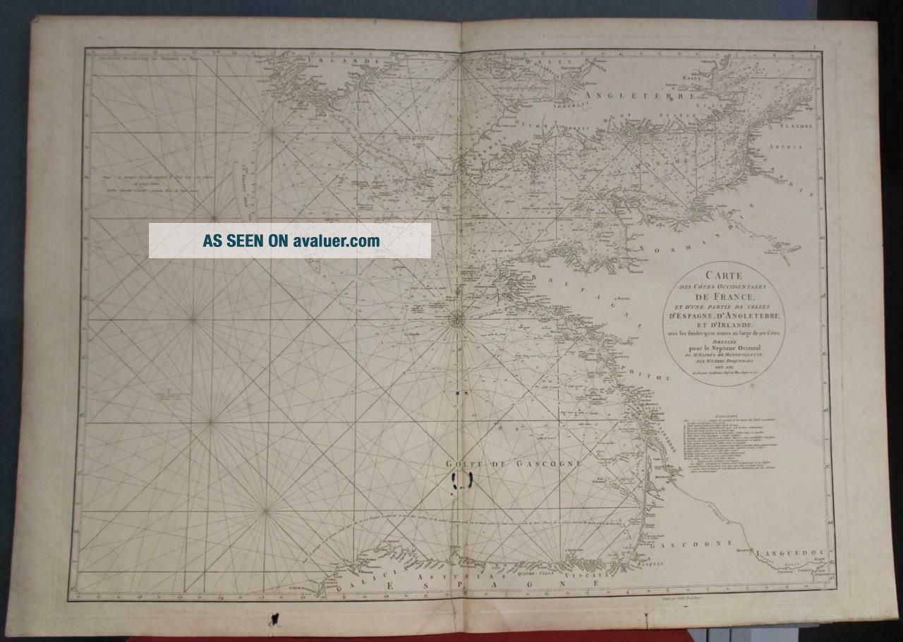
FRANCE SPAIN ENGLISH CHANNEL GULF OF BISCAY 1775 MANNEVILLETTE ANTIQUE CHART
Item History & Price
FRANCE SPAIN ENGLISH CHANNEL GULF OF BISCAY 1775 MANNEVILLETTE ANTIQUE CHART

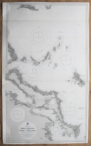
1838 - 48 Greece Doro Channel Gulf Of Saloniki Skyros Vintage Admiralty Chart Map
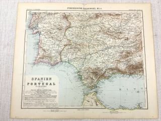
1907 Antique Map Of Spain Portugal Gibraltar Gulf Of Cadiz Tangiers German
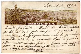
Colombia - France - Spain - " Pehlke " Postcard - View Of Bogota - 1904 - Rare

Louis Bleriot France Aviator English Channel Flight Monoplane Airplane Postcard

France/ Spain - C. 1980 - City Of Toledo - Xlarge Bronze By Dufresne Very Rare
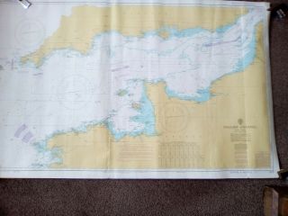
Vintage Nautical Maritime Chart 2675 English Channel Isles Of Scily To Dover
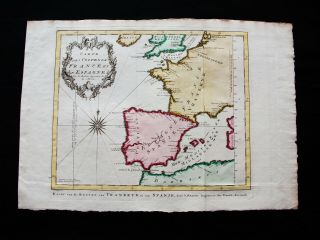
1747 Bellin & Schley - Atlantic Ocean, Biscay, English Channel, Spain, France.
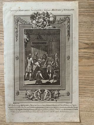
1783 Treaty Of Paris January 20th Gb, France & Spain American Revolutionary War

Hungary & Romania 1579 (1584) Ortelius Unusual Antique Copper Engraved Map

Brussels Bruxelles Belfium 1777 De Ferraris & Dupuis Large Antique Map Sheet Xxi

1616 Atlas Map Of Iceland.

Kazan Russia 1767 Le Clerc/lespinasse Antique Copper Engraved City View

1899 Stanford, Folding Map Of Norwich, Norfolk, Arthur Collins, Jarrold & Sons,

1948 Vintage Linen Colour Map Geological Survey Ten Mile Of Great Britain

1944 Map Flying Bombs Sussex Ww2 Newspaper Military Kent Courier German V1 V2

Dated 1638 Vellum Map Of Icklesham Sussex Showing Land Uses Owners Etc