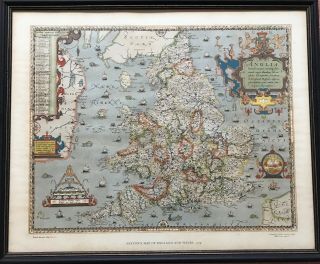
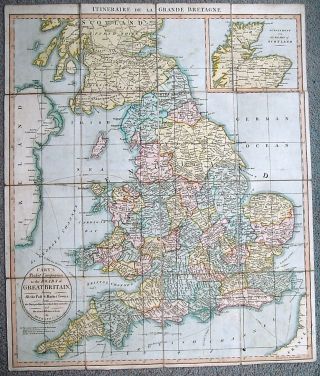
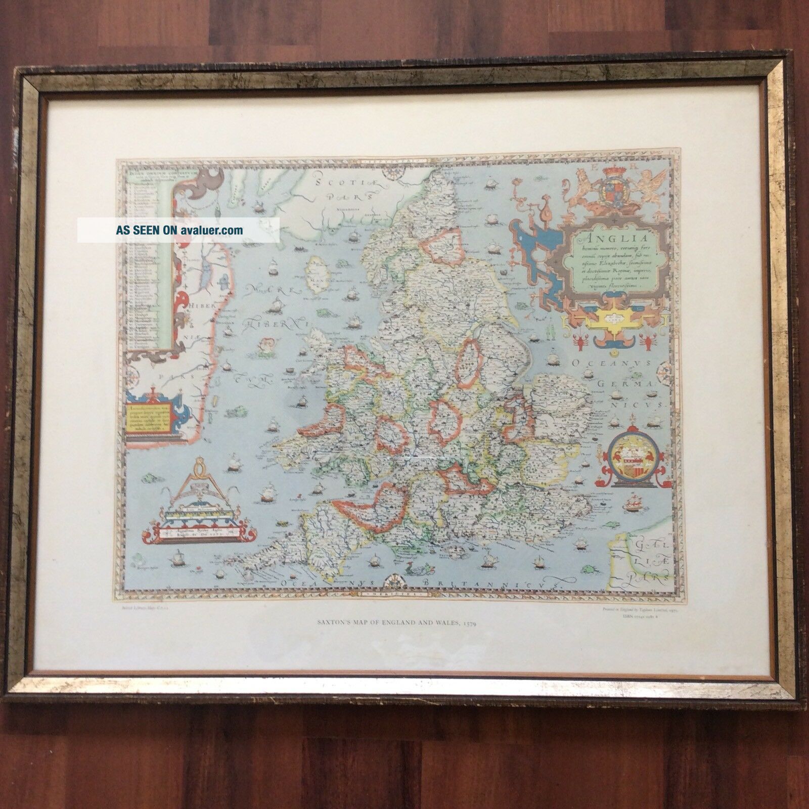
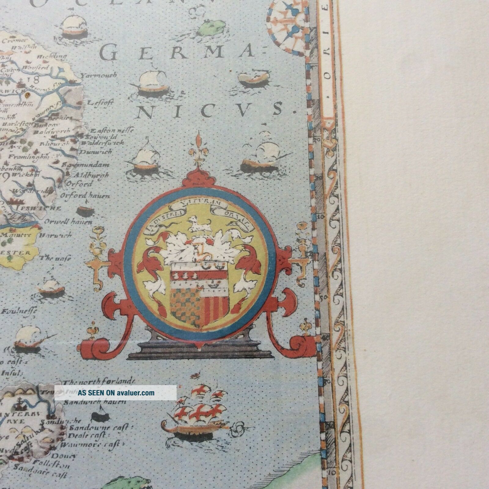
VINTAGE SAXTON ' S MAP OF ENGLAND & WALES 1579 PRINT FRAMED 21. 50 " X 26. 5 " ANTIQUE


Item History & Price
| Reference Number: Avaluer:30404 | Year: 1975 |
| Original/Reproduction: Antique Reproduction | Cartographer/Publisher: Saxton's |
| Format: Wall Map | Era: 1500s |
| Date Range: 1500-1599 | Country/Region: ENGLAND & WALES |
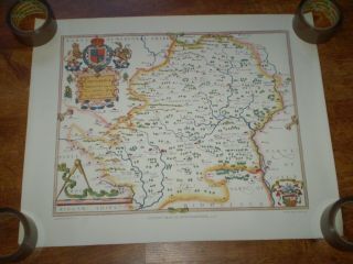
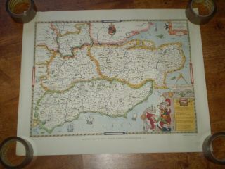
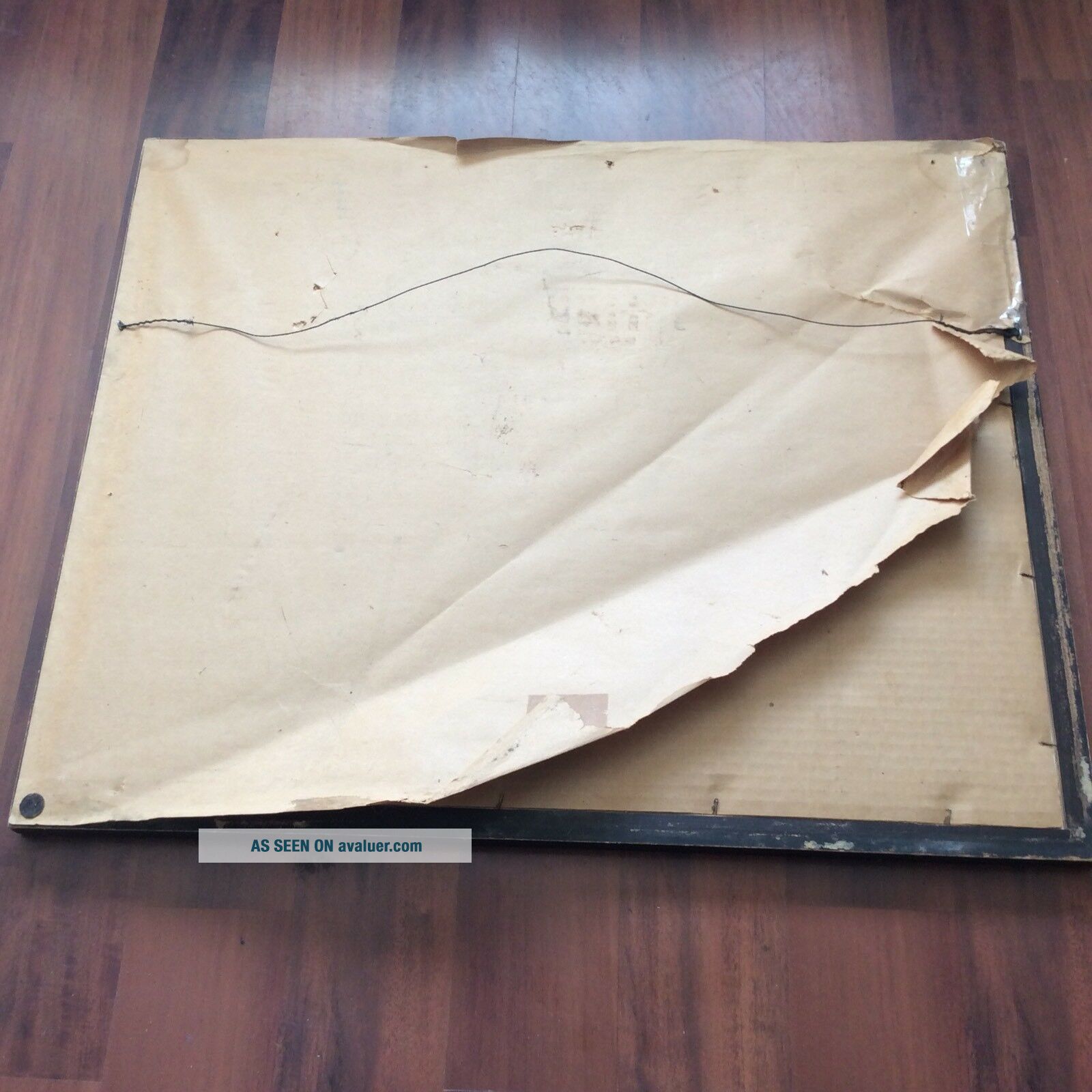
Saxton’s map of England and Wales 1579 (1965) Print Map is in good vintage condition. Paper covering the back has partially separated from the frame. See last picture
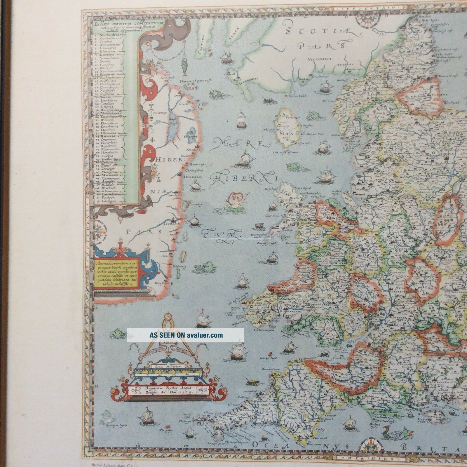
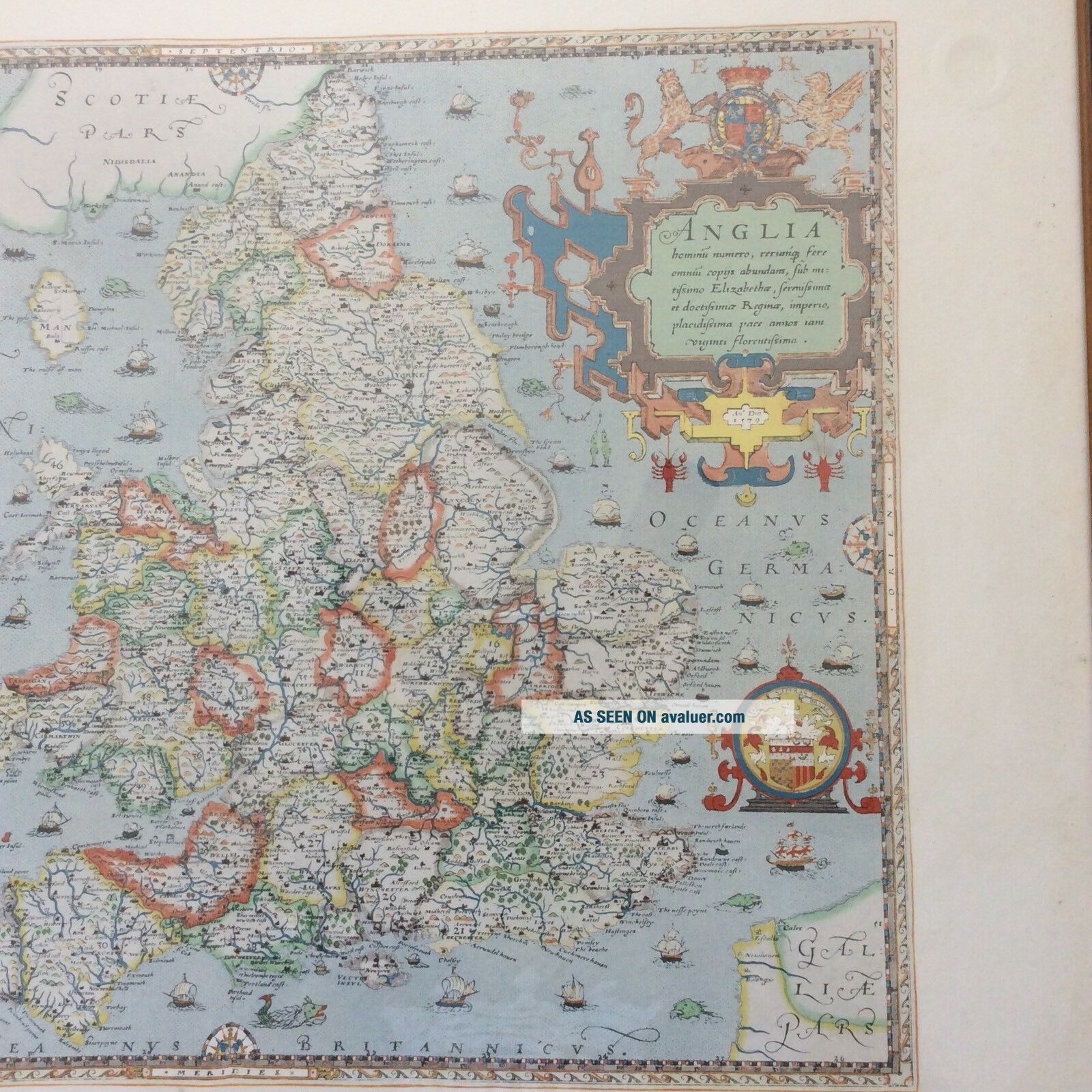
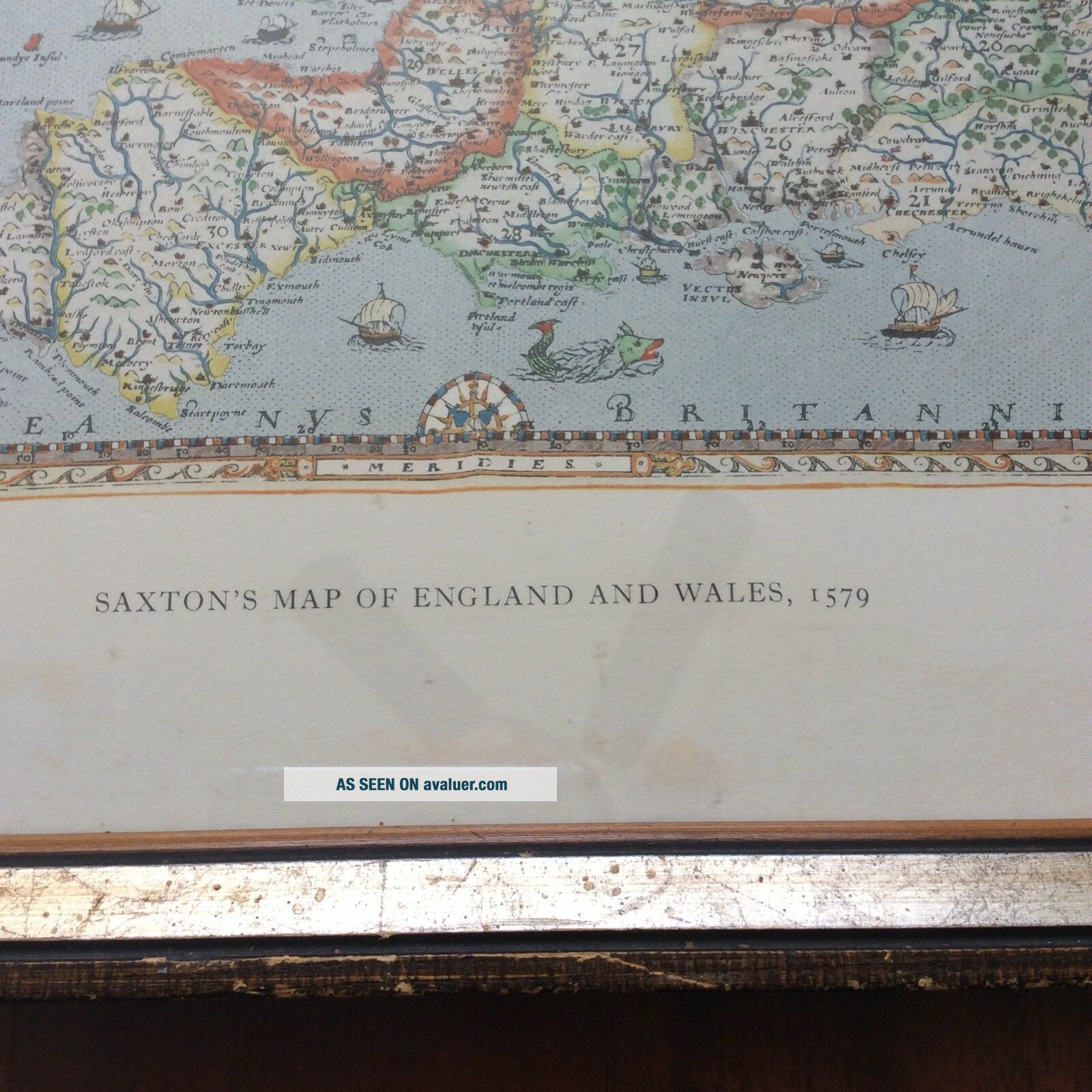
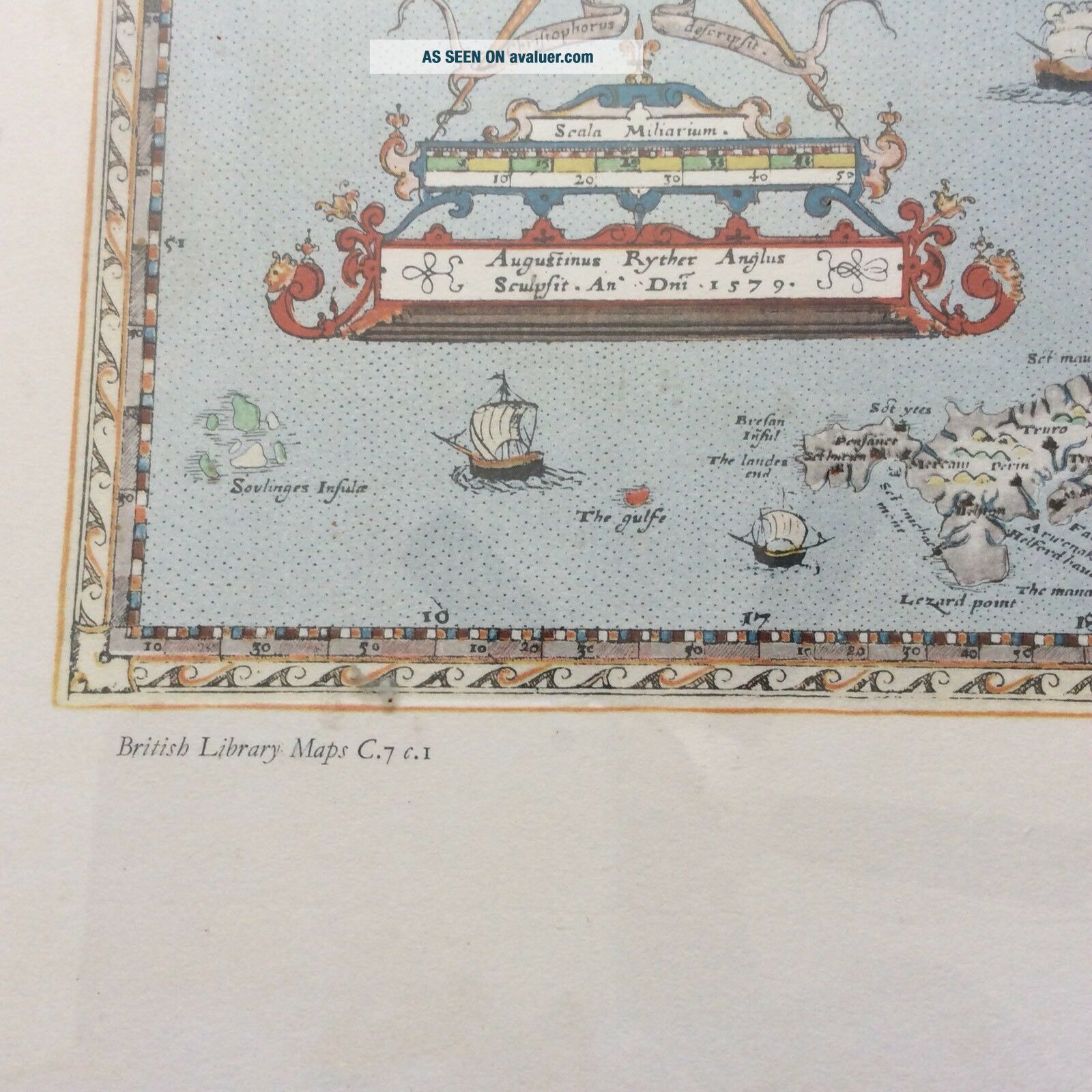
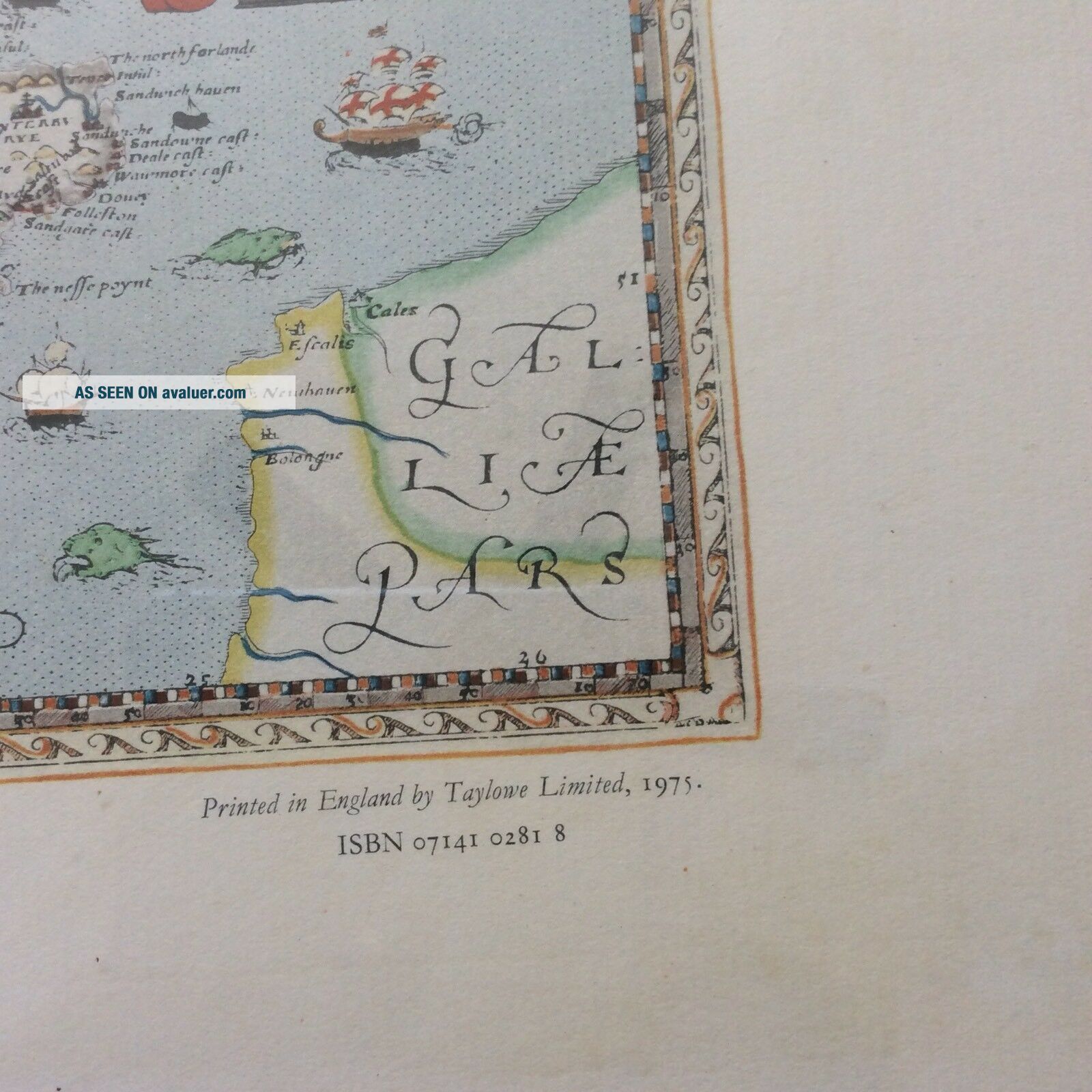
Map was printed in England by Taylowe Limited in 1975British Library Maps C.7 c.1ISBN 07141 0281 8
Measures 26.5" Width --- 21.5" Height
Map was printed in England by Taylowe Limited in 1975British Library Maps C.7 c.1ISBN 07141 0281 8
Measures 26.5" Width --- 21.5" Height