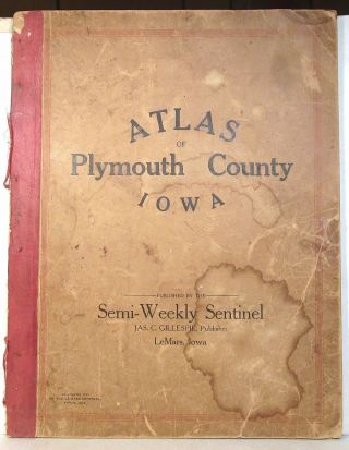
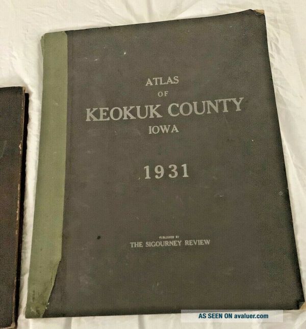
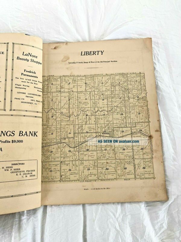
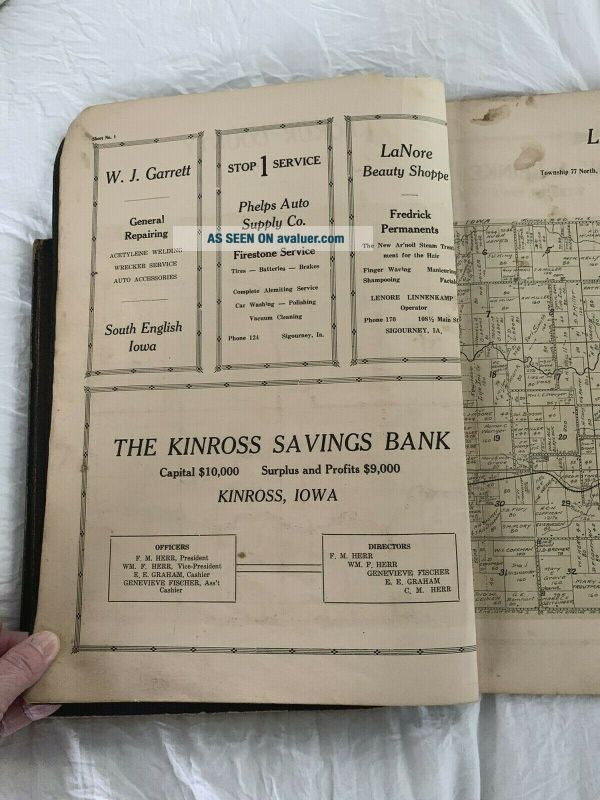
Large Atlas Of Keokuk County Iowa, Maps, Advertising 1931


Item History & Price

Information:
Reference Number: Avaluer:30407442Original/Reproduction: Antique Original
Year: 1931Format: Atlas Map
US State: IowaType: County Map
Country/Region: United States of America
Original Description:
13 1/2 x 11 maps of Keokuk county Iowa 1931. See the photos to discern condition.Lot's of great local advertising as well.I have another book listed from this same county. Please email with any questionsALL sales will be finalThis will ship Media mail in a large mailer with cardboard on each side.Payment is due within 48 hours


    Similar items


  • 1914 Atlas Of Plymouth County,  Iowa

    1914 Atlas Of Plymouth County, Iowa

  • 1893 Gwm Baist Antique Large Atlas Of Castle County Delaware

    1893 Gwm Baist Antique Large Atlas Of Castle County Delaware

  • 1908 Standard Atlas Of Franklin County Iowa W/ Plat Maps & Photos Of Residents

    1908 Standard Atlas Of Franklin County Iowa W/ Plat Maps & Photos Of Residents

  • Pictorial Atlas Of Allamakee County Iowa 1975,  Waukon,  Lansing,  Postville

    Pictorial Atlas Of Allamakee County Iowa 1975, Waukon, Lansing, Postville

  • Vintage Atlas Of Union County Iowa Hc 1916 Poor To Acceptable Interior Pages

    Vintage Atlas Of Union County Iowa Hc 1916 Poor To Acceptable Interior Pages

  • Vintage Atlas Of Greene County Iowa 1936 The Bee And Herald Jefferson,  Iowa

    Vintage Atlas Of Greene County Iowa 1936 The Bee And Herald Jefferson, Iowa

  • 1905 Atlas Of Scott County Iowa.  Complete.

    1905 Atlas Of Scott County Iowa. Complete.

  • Atlas Of Bremer County Iowa 1917 18 " ×16 " Shape For Age

    Atlas Of Bremer County Iowa 1917 18 " ×16 " Shape For Age


    • You might also like


    • 1860 Mitchell Hand Colored Map Colorado,  Nebraska & Kansas - Civil War Era

      1860 Mitchell Hand Colored Map Colorado, Nebraska & Kansas - Civil War Era

    • 18th Century French Map Of North America

      18th Century French Map Of North America

    • Las Vegas Nevada Vintage 1967 Us Geological Survey Quadrangle Map 4 Panels

      Las Vegas Nevada Vintage 1967 Us Geological Survey Quadrangle Map 4 Panels

    • Rare Antique 1845 Maps United States Exploring Expedition Book Antartica Hawaii

      Rare Antique 1845 Maps United States Exploring Expedition Book Antartica Hawaii

    • Vintage 1926 Map Hollywood From The Best Surveys Of The Time

      Vintage 1926 Map Hollywood From The Best Surveys Of The Time

    • American Continent (western Hemisphere) 1747 Bowen Antique Copper Engraved Map

      American Continent (western Hemisphere) 1747 Bowen Antique Copper Engraved Map

    • Gulf Coast Florida Texas United States 1705 De Fer Unusual Antique Engraved Map

      Gulf Coast Florida Texas United States 1705 De Fer Unusual Antique Engraved Map

    • California As Island United States 1700 De Fer Unusual First Edition Antique Map

      California As Island United States 1700 De Fer Unusual First Edition Antique Map

Avaluer          About Us          Privacy Policy          Contact Us          UP
© 2022, avaluer.net, Inc. or its affiliates