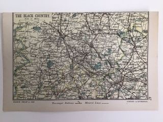
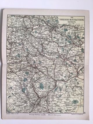
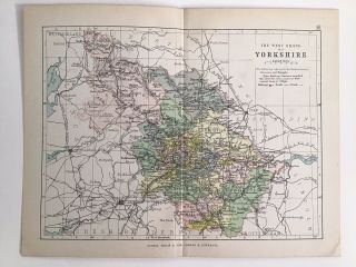
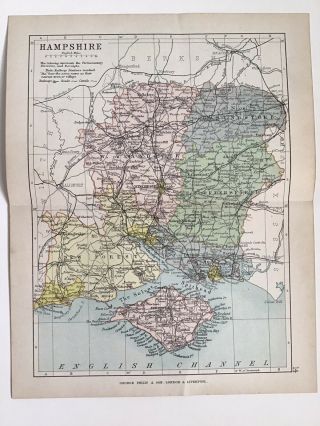
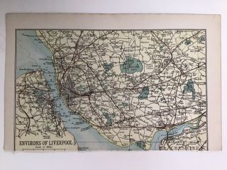
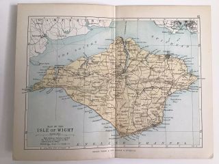
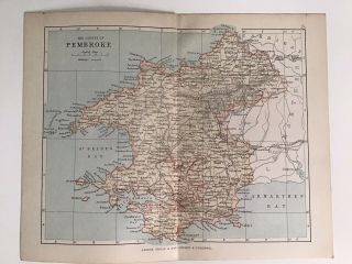
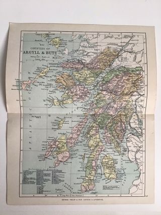
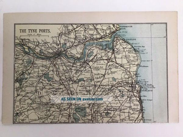
The TYNE PORTS C1886 Antique County Map Philip Railway Mineral Lines Sunderland
Item History & Price
| Reference Number: Avaluer:30544261 | Year: 1886 |
| Type: County Map | Format: Atlas Map |
| Original/Reproduction: Antique Original | Cartographer/Publisher: George Philip |
Thank you for looking at this antique map.
Date: c1886
Size: 4.5 x 7 inches approximately including margins
Condition: good, Please review our photos as these form part of the description, if you would like more info or photos please contact us via eBay.
Verso: blank on the reverse except for the county name.
Notes: England
Global Shipping (GSP)
We are more than happy to send our items to anywhere in the world covered via eBay Global Shipping.
Please note t...hat the cost quoted for this service is set by eBay not us and we do not receive any of this fee.
The process is that we ship your item to eBay and then eBay arranges the shipping from their warehouse directly to you, we have no control over this process.
If you wish to purchase more than one item please get in touch with us first so that we can combine them into one listing for you.