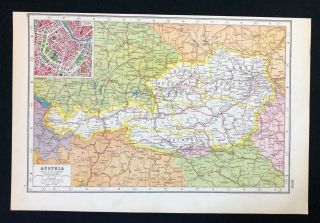
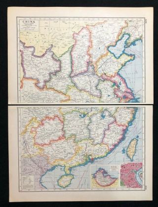
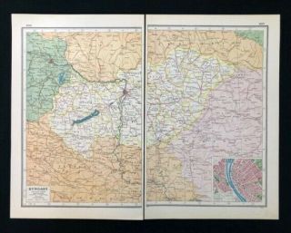
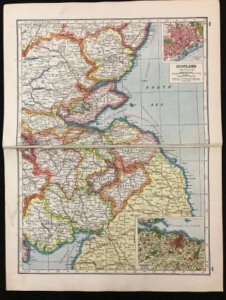
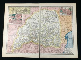
Vintage Map 1920, Newfoundland / Inset Of St. Johns - Harmsworth ' S Atlas A3BK3


Item History & Price
| Reference Number: Avaluer:30598816 | Year: 1920 |
| Canadian Province: Newfoundland & Labrador | Country/Region: Canada |
| Format: Atlas Map |
Vintage Map 1920, Newfoundland / Inset of St. Johns - Harmsworth's Atlas
This is a genuine vintage map and not a modern copy.It has been removed from the Harmsworth's New Atlas which was published in 1920, just a few years after the end of World War 1.The reverse of the page shows facts relating to the map alongside some photographs (please see last picture)
The Size of the map not including margins is approximately 8.5"x 12.75"
The item is in good condition and sui...table for framing Please check the photographs for any blemishes prior to making your purchase. Practically all antiquarian maps and prints are subject to some normal aging due to use/time and would usually be seen around the non-printed edges where it is handled the most.
The item will carefully rolled & send in a cardboard postal tube.
Please check my Ebay Shop for more Antique/Vintage Maps
Many thanks for looking & happy bidding!
A3BK3/37