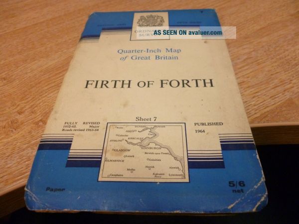
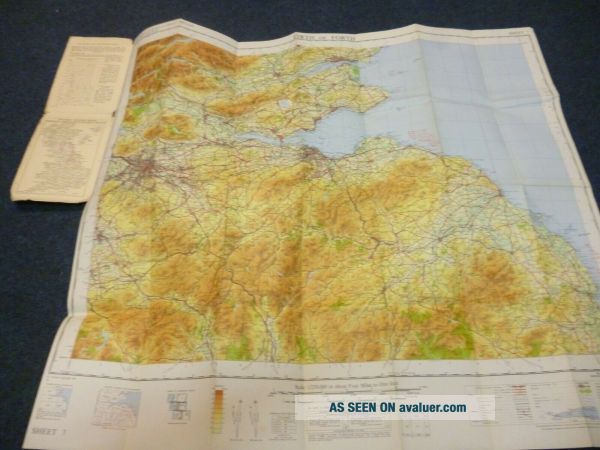
VINTAGE ORDNANCE SURVEY MAP Of FIRTH Of FORTH SHEET 7 1964
Item History & Price
| Reference Number: Avaluer:30618626 | Format: Sheet Map |
| Year: 1964 | Type: Ordnance Survey Map |
NATIONAL GRID ISSUE 5th SERIES

| Reference Number: Avaluer:30618626 | Format: Sheet Map |
| Year: 1964 | Type: Ordnance Survey Map |
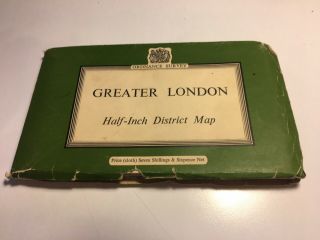
Vintage Ordnance Survey Map Of Greater London, 1962
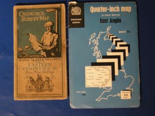
Vintage Ordnance Survey Maps Of East Anglia And Eastern Counties 1962 1920s
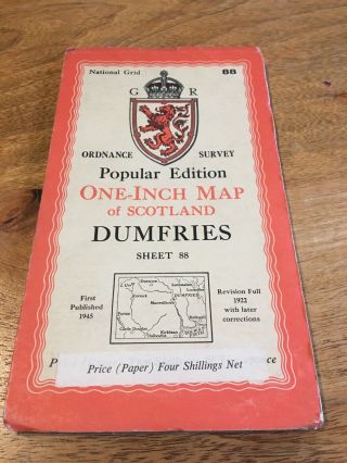
Vintage Ordnance Survey Map Of Dumfries, Sheet 88, 1945
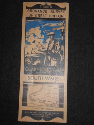
Vintage Ordnance Survey Map Of South Wales (1933 - 1950s) Cardiff, Swansea, Brecon
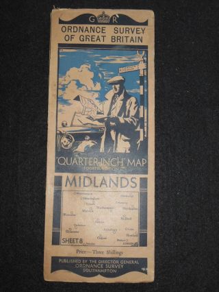
Vintage Ordnance Survey Map Of The Midlands (1935) Birmingham, Oxford, Warwick
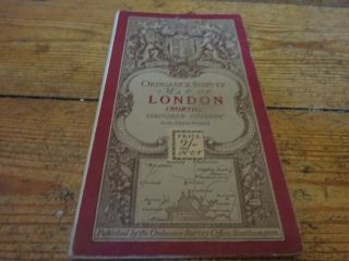
Vintage Ordnance Survey Map Of London With Ellis Martin Cover
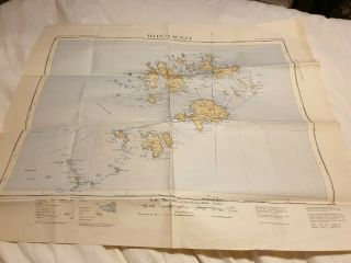
Vintage Ordnance Survey Map Of Isles Of Scilly 1933, Ref A14
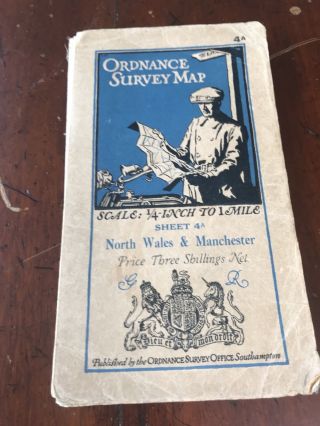
Vintage Ordnance Survey Map Of North Wales And Manchester C1930 - O/s Sheet 4a

Hungary & Romania 1579 (1584) Ortelius Unusual Antique Copper Engraved Map

Brussels Bruxelles Belfium 1777 De Ferraris & Dupuis Large Antique Map Sheet Xxi

1616 Atlas Map Of Iceland.

Kazan Russia 1767 Le Clerc/lespinasse Antique Copper Engraved City View

1899 Stanford, Folding Map Of Norwich, Norfolk, Arthur Collins, Jarrold & Sons,

1948 Vintage Linen Colour Map Geological Survey Ten Mile Of Great Britain

1944 Map Flying Bombs Sussex Ww2 Newspaper Military Kent Courier German V1 V2

Dated 1638 Vellum Map Of Icklesham Sussex Showing Land Uses Owners Etc