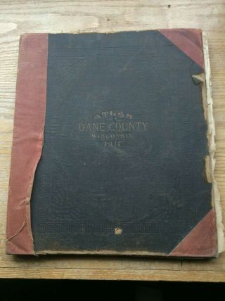
Atlas, Plat Book Of Dane County Wisconsin 1899


Item History & Price
| Reference Number: Avaluer:30679 | Original/Reproduction: Antique Original |
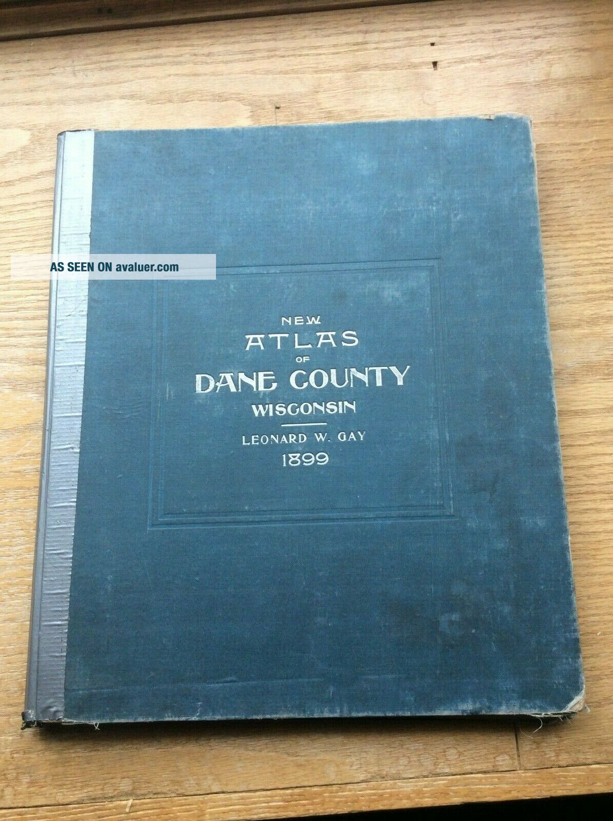
Title: New Atlas of Dane County Wisconsin. Published by Leonard W. Gay & Co, Madison Wis 1899.
This is a very sought after and hard to find plat book. Most all of the maps are in nice condition, with the usual small tears and discoloration around edges on some of them. Of the 3 Dane County plat books I have listed, this is by far the one in best condition. I have always considered this 1899 publication the best o...f the early Dane County plat books. I say this because of the very nice advertisements it contains. This one has always been one of my favorites of all Wisconsin plat books.
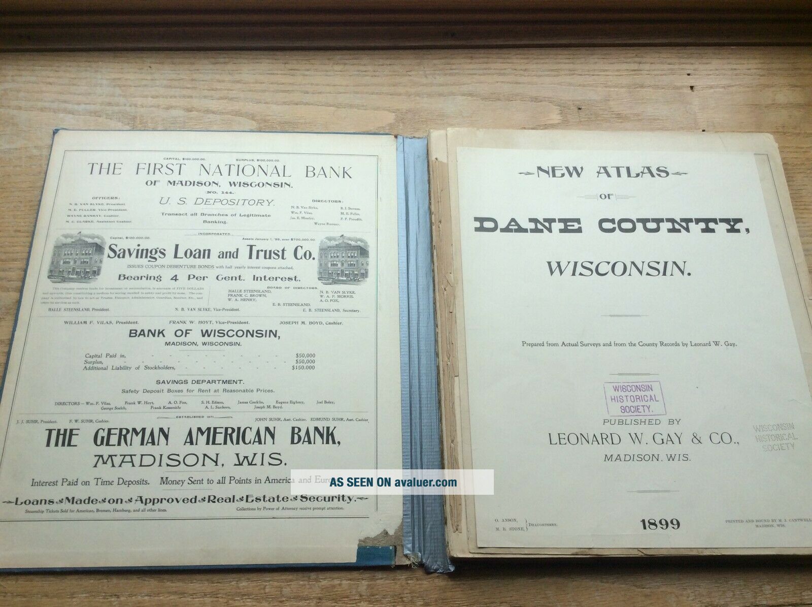
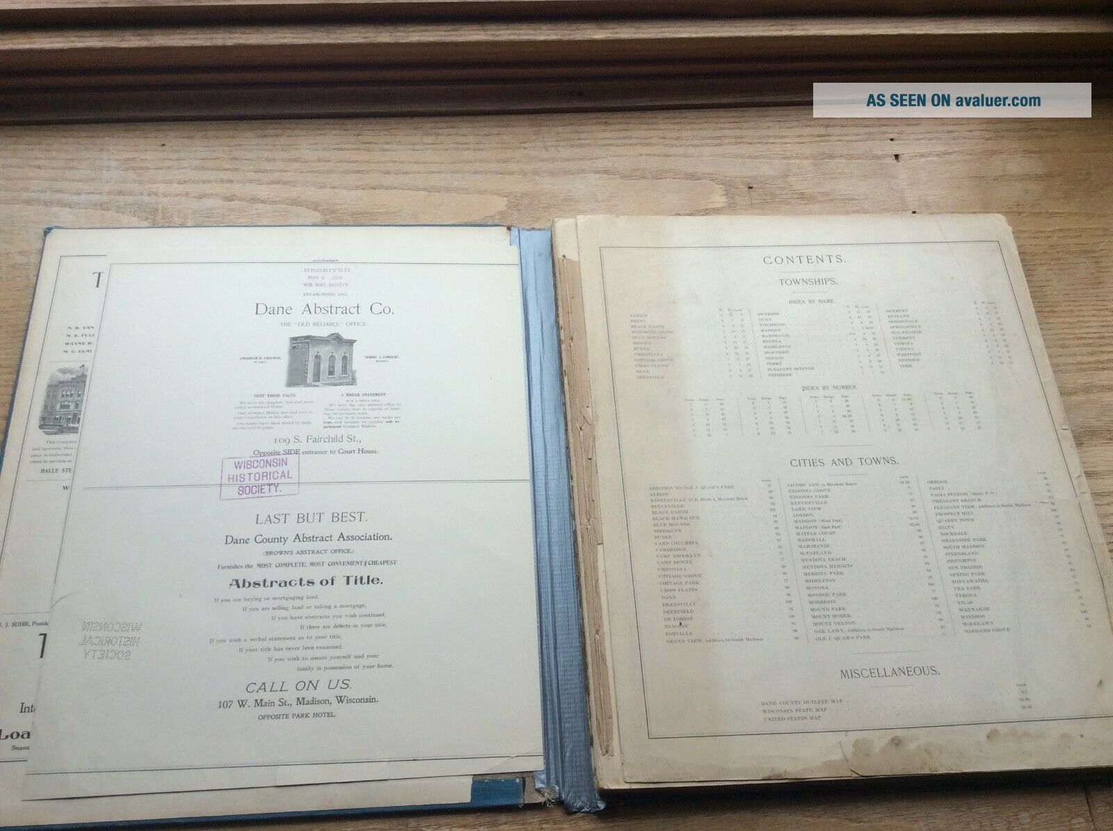
To the best of my knowledge, looks to be complete. Title page and Contents page are disbound. Title page is cut down around all edges. Title page also has Wisconsin Historical Society stamp. From page 7 forward, pages are bound, ending at page 101. Some of the pages at the rear are also separated. Front and rear covers are present, but separated.
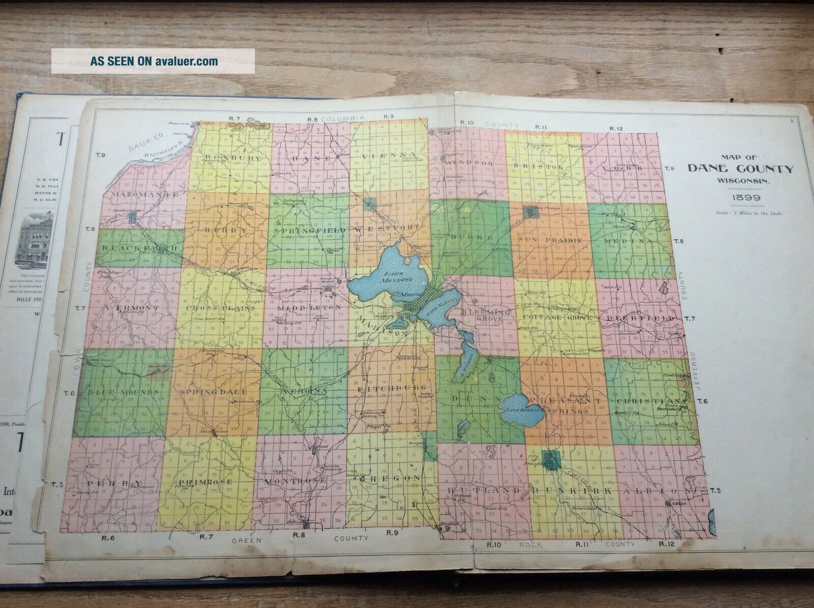
Page 4 and 5 is overall map of Dane County. This map shows more wear than most all of the others, but still pretty decent.
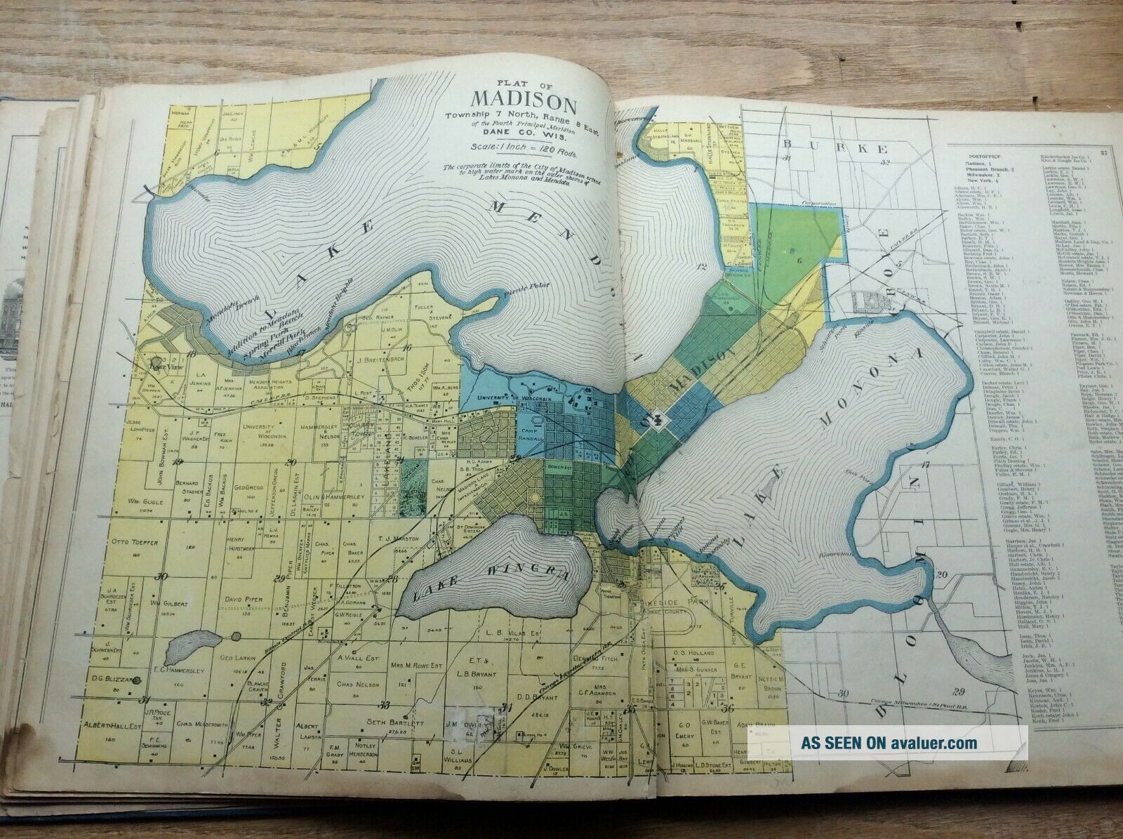
Page 36 and 37 is map of City of Madison - pretty decent shape.
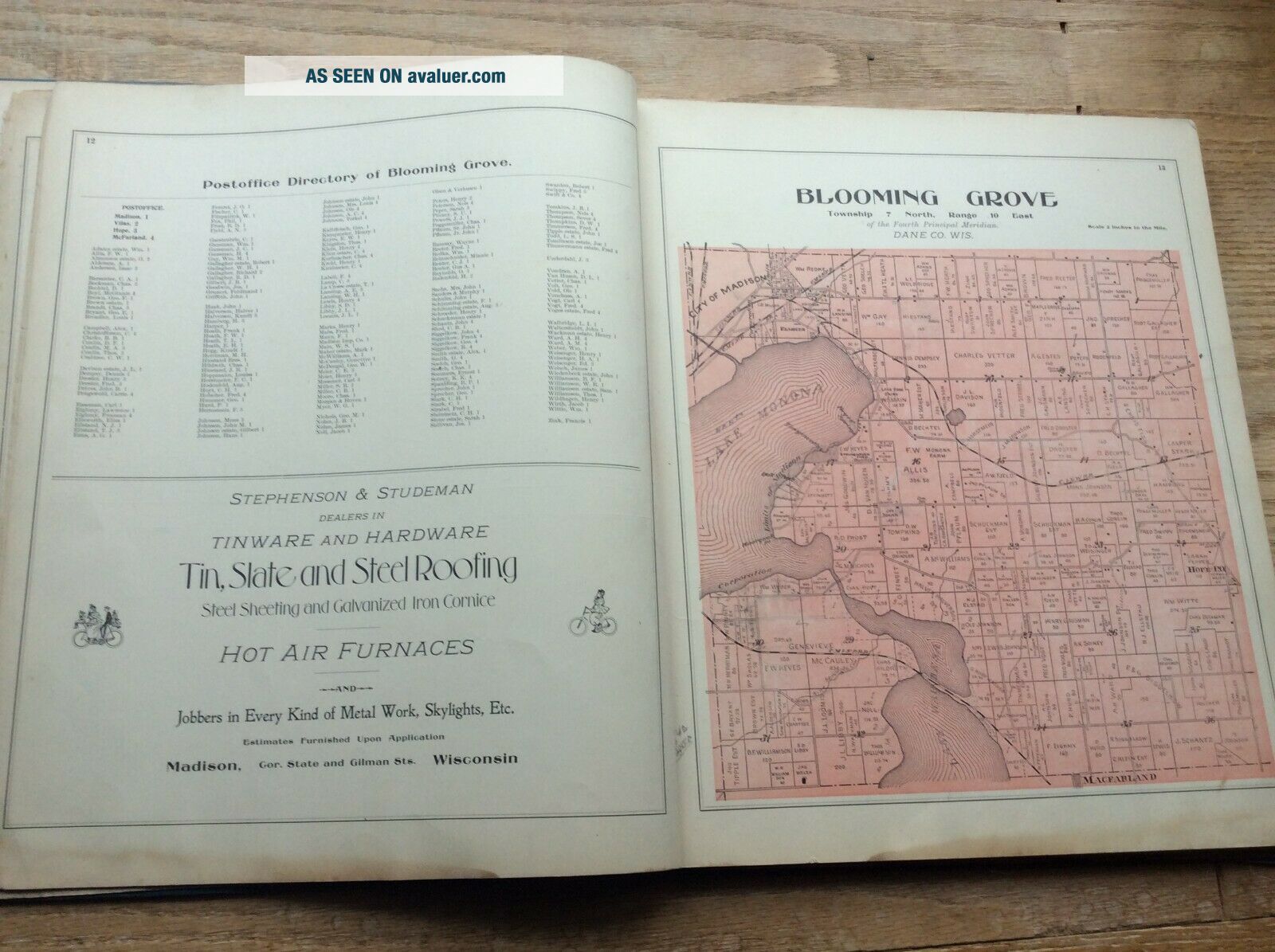
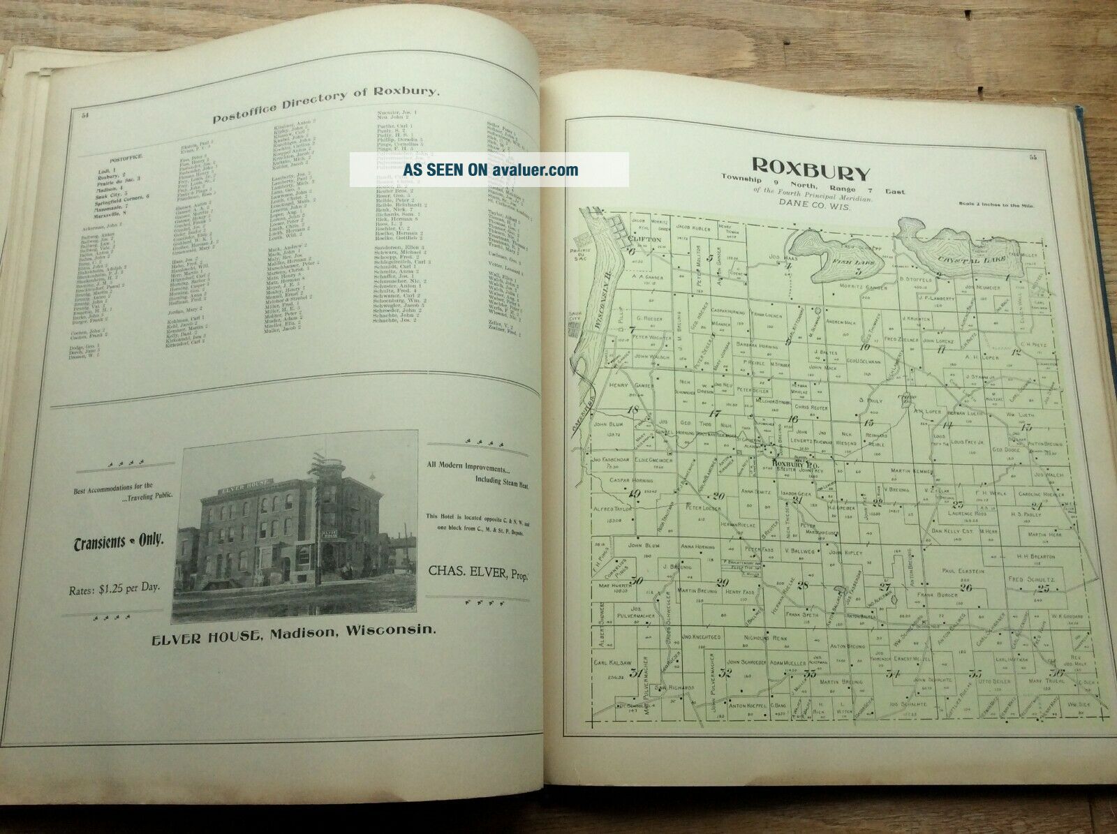
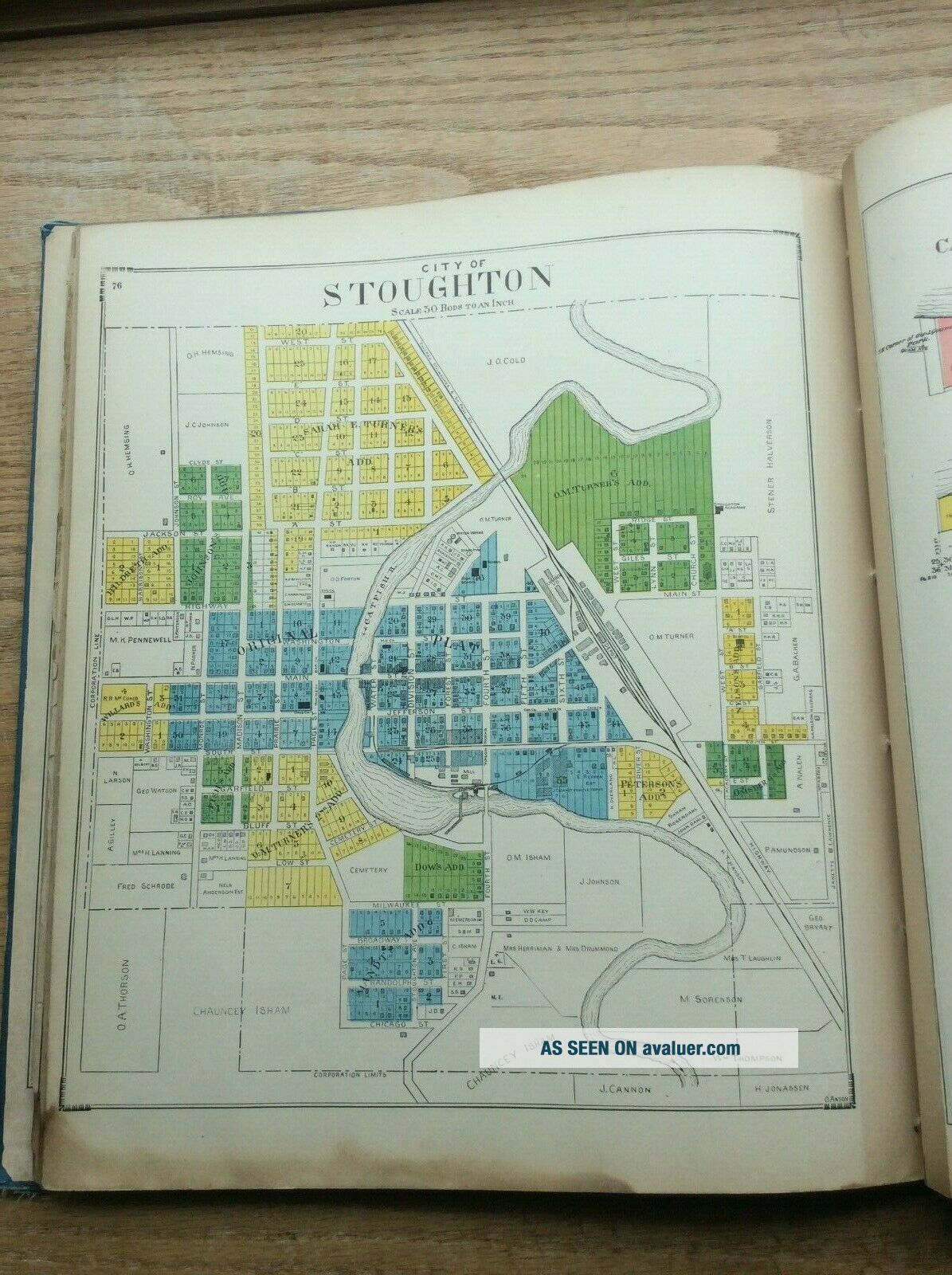
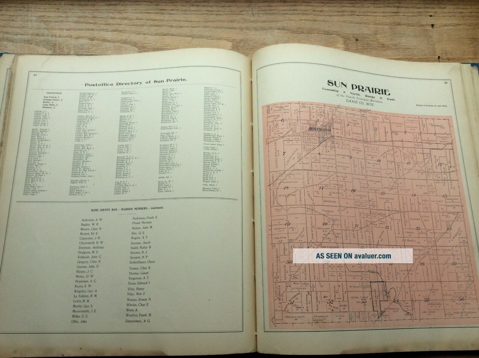
Maps are of individual townships, listing all landowners. Separate maps of cities, towns and villages. Page 94 and 95 is map of State of Wisconsin.
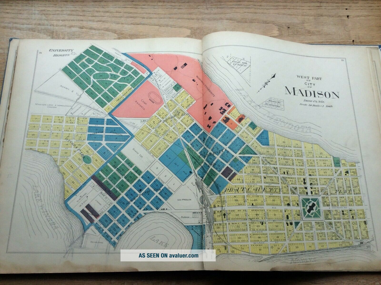
Pages 82 and 83 is map of East Part of Madison. Page 78 and 79 is map of West Part of Madison, which includes State Capitol.
I believe this plat book is in good enough shape that it should be kept together and not separated for its individual pages. But that is up to the buyer.
Sorry, returns not accepted. Please ask questions. I have had too much trouble with people photocopying what they want out of books of this nature and then returning.
I ship only to the lower 48 U.S. states. Shipping is free.
Happy Collecting!
This is a very sought after and hard to find plat book. Most all of the maps are in nice condition, with the usual small tears and discoloration around edges on some of them. Of the 3 Dane County plat books I have listed, this is by far the one in best condition. I have always considered this 1899 publication the best o...f the early Dane County plat books. I say this because of the very nice advertisements it contains. This one has always been one of my favorites of all Wisconsin plat books.
To the best of my knowledge, looks to be complete. Title page and Contents page are disbound. Title page is cut down around all edges. Title page also has Wisconsin Historical Society stamp. From page 7 forward, pages are bound, ending at page 101. Some of the pages at the rear are also separated. Front and rear covers are present, but separated.
Page 4 and 5 is overall map of Dane County. This map shows more wear than most all of the others, but still pretty decent.
Page 36 and 37 is map of City of Madison - pretty decent shape.
Maps are of individual townships, listing all landowners. Separate maps of cities, towns and villages. Page 94 and 95 is map of State of Wisconsin.
Pages 82 and 83 is map of East Part of Madison. Page 78 and 79 is map of West Part of Madison, which includes State Capitol.
I believe this plat book is in good enough shape that it should be kept together and not separated for its individual pages. But that is up to the buyer.
Sorry, returns not accepted. Please ask questions. I have had too much trouble with people photocopying what they want out of books of this nature and then returning.
I ship only to the lower 48 U.S. states. Shipping is free.
Happy Collecting!