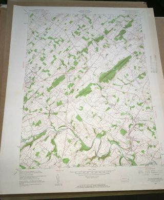
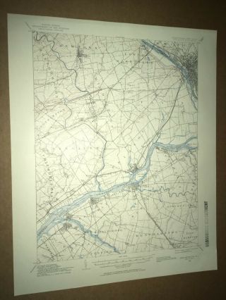
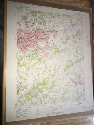
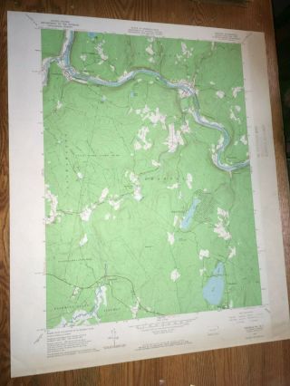
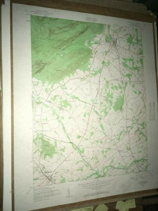
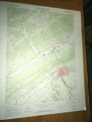
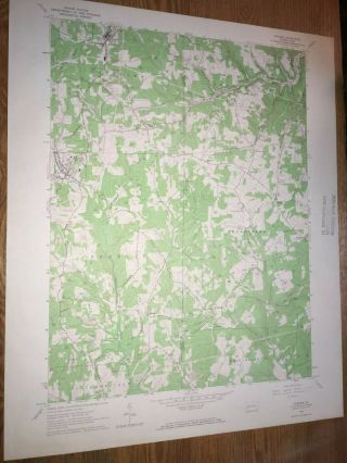
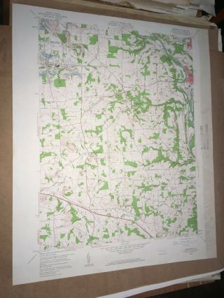
Bedminster PA Bucks County USGS Topographical Geological Survey Quadrangle Map


Item History & Price

Information:
Reference Number: Avaluer:30717641Original/Reproduction: Vintage Original
US State: PennsylvaniaFormat: Topographic Map
Country/Region: United States of AmericaType: Geological Map
Original Description:
Pennsylvania USGS Topographical Geological Survey Quadrangle Topo Topographic Map 22" x 27".Map may have some normal handling wear,  I always try to note any excessive damage in my descriptions and photos.  Please see pictures or send a message for more item specifics!Shipping: U.S. Buyers Pay USPS Priority Mail Shipping with tracking as required by eBay. Map has been stored flat but will be rolled for shipping purposes!~NO ADDITIONAL SHIPPING WHEN PU...RCHASING MORE THAN ONE MAP ON THE SAME ORDER!Please request a final invoice for combined shipping!oldsol


    Similar items


  • Buckingham Pa Bucks County Usgs Topographical Geological Survey Quadrangle Map

    Buckingham Pa Bucks County Usgs Topographical Geological Survey Quadrangle Map

  • Burlington Pa Bucks County Usgs Topographical Geological Survey Quadrangle Map

    Burlington Pa Bucks County Usgs Topographical Geological Survey Quadrangle Map

  • York Pa York County Usgs Topographical Geological Survey Quadrangle Old Map

    York Pa York County Usgs Topographical Geological Survey Quadrangle Old Map

  • Shohola Pa Pike County Usgs Topographical Geological Survey Quadrangle Old Map

    Shohola Pa Pike County Usgs Topographical Geological Survey Quadrangle Old Map

  • Dillsburg Pa.  York County Usgs Topographical Geological Survey Quadrangle Map

    Dillsburg Pa. York County Usgs Topographical Geological Survey Quadrangle Map

  • Bellefonte Pa Centre County Usgs Topographical Geological Survey Quadrangle Map

    Bellefonte Pa Centre County Usgs Topographical Geological Survey Quadrangle Map

  • Chicora Pa Butler County Usgs Topographical Geological Survey Quadrangle Old Map

    Chicora Pa Butler County Usgs Topographical Geological Survey Quadrangle Old Map

  • Bessemer Pa Lawrence County Usgs Topographical Geological Survey Quadrangle Map

    Bessemer Pa Lawrence County Usgs Topographical Geological Survey Quadrangle Map


    • You might also like


    • 1860 Mitchell Hand Colored Map Colorado,  Nebraska & Kansas - Civil War Era

      1860 Mitchell Hand Colored Map Colorado, Nebraska & Kansas - Civil War Era

    • 18th Century French Map Of North America

      18th Century French Map Of North America

    • Las Vegas Nevada Vintage 1967 Us Geological Survey Quadrangle Map 4 Panels

      Las Vegas Nevada Vintage 1967 Us Geological Survey Quadrangle Map 4 Panels

    • Rare Antique 1845 Maps United States Exploring Expedition Book Antartica Hawaii

      Rare Antique 1845 Maps United States Exploring Expedition Book Antartica Hawaii

    • Vintage 1926 Map Hollywood From The Best Surveys Of The Time

      Vintage 1926 Map Hollywood From The Best Surveys Of The Time

    • American Continent (western Hemisphere) 1747 Bowen Antique Copper Engraved Map

      American Continent (western Hemisphere) 1747 Bowen Antique Copper Engraved Map

    • Gulf Coast Florida Texas United States 1705 De Fer Unusual Antique Engraved Map

      Gulf Coast Florida Texas United States 1705 De Fer Unusual Antique Engraved Map

    • California As Island United States 1700 De Fer Unusual First Edition Antique Map

      California As Island United States 1700 De Fer Unusual First Edition Antique Map

Avaluer          About Us          Privacy Policy          Contact Us          UP
© 2022, avaluer.net, Inc. or its affiliates