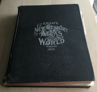
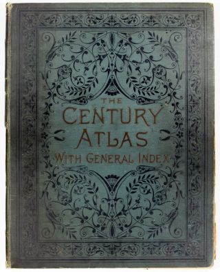
1902 Century Atlas Of The World Incl. All US State & Indian Territory, 118 Maps
Item History & Price
| Reference Number: Avaluer:30955 |
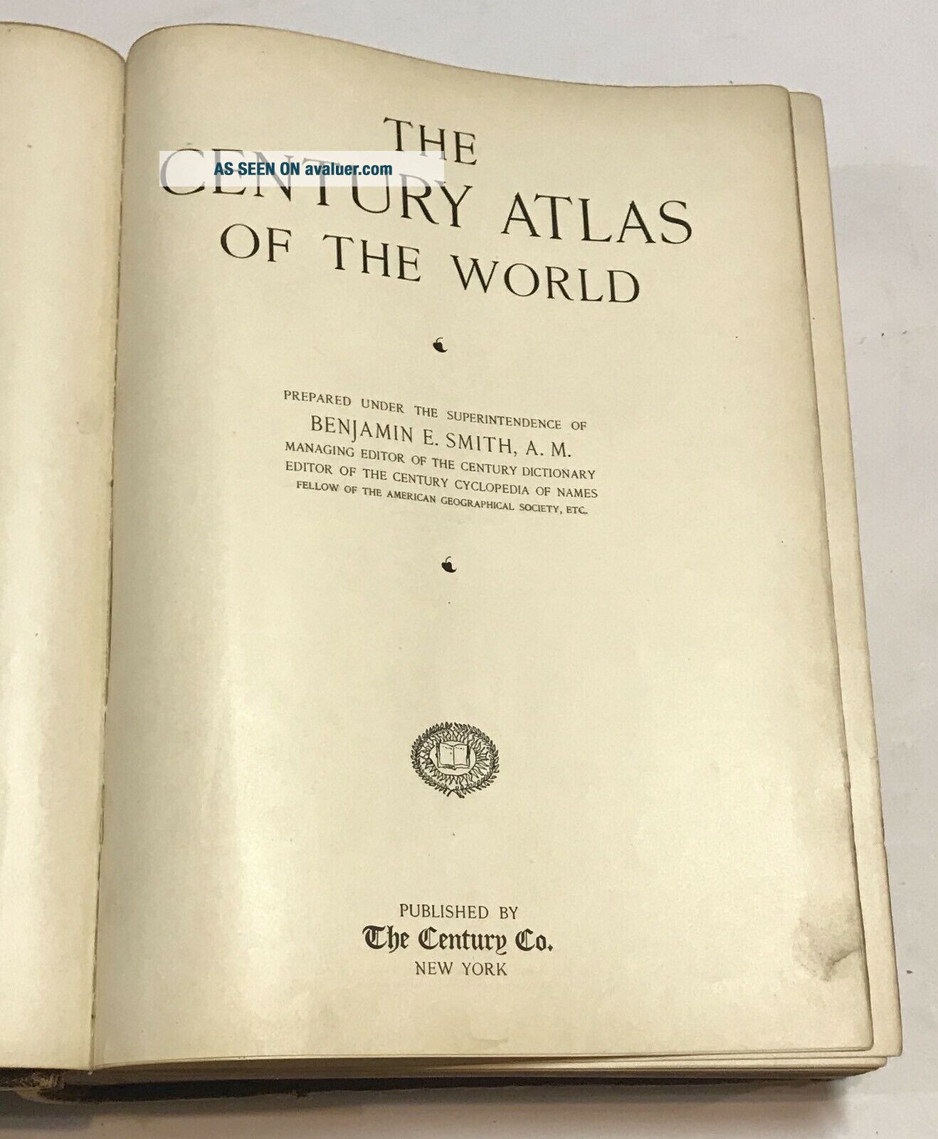
1902 Century Atlas Of The World Incl. All US State & Indian Territory, 118 Maps.
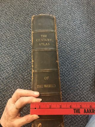
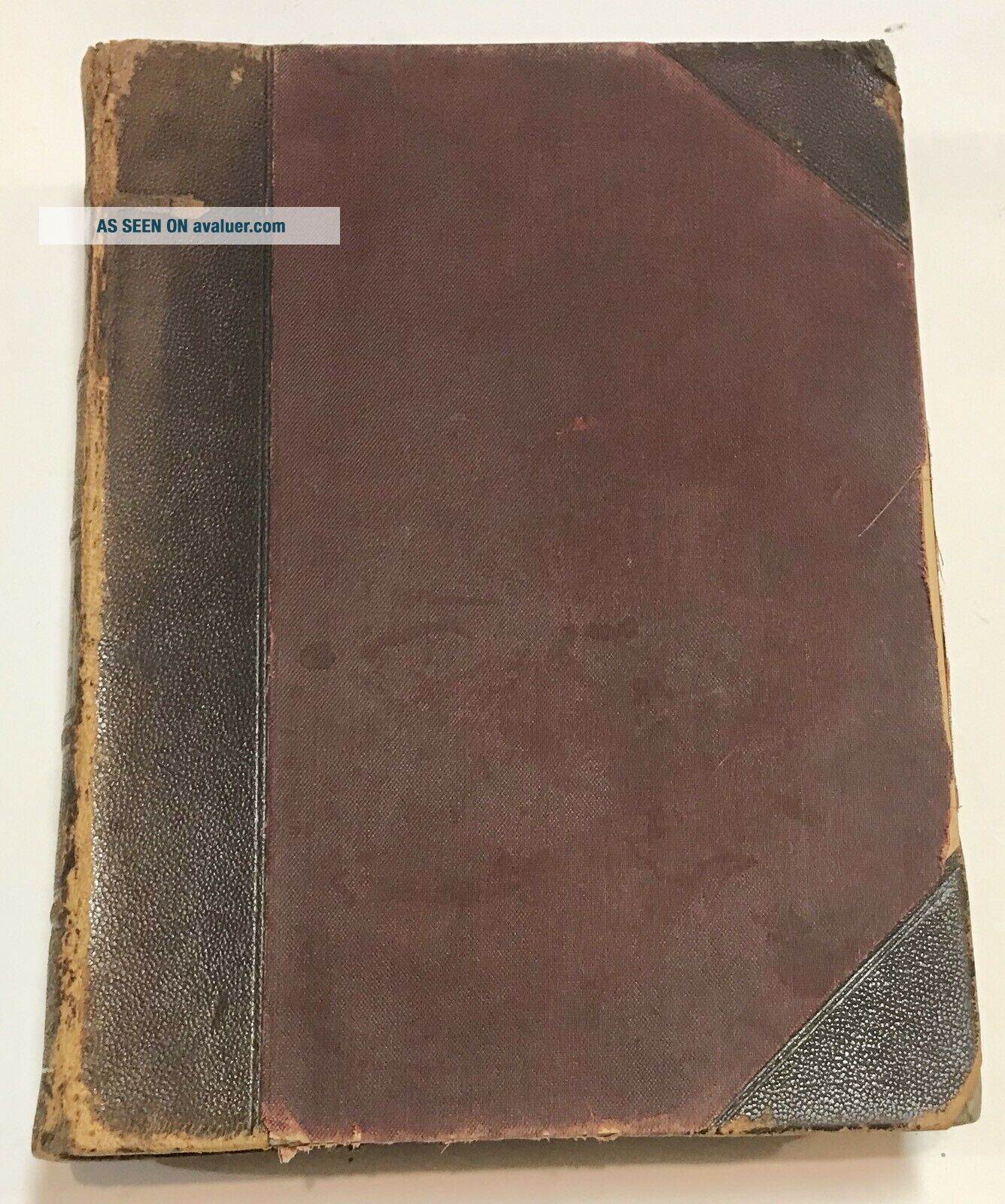
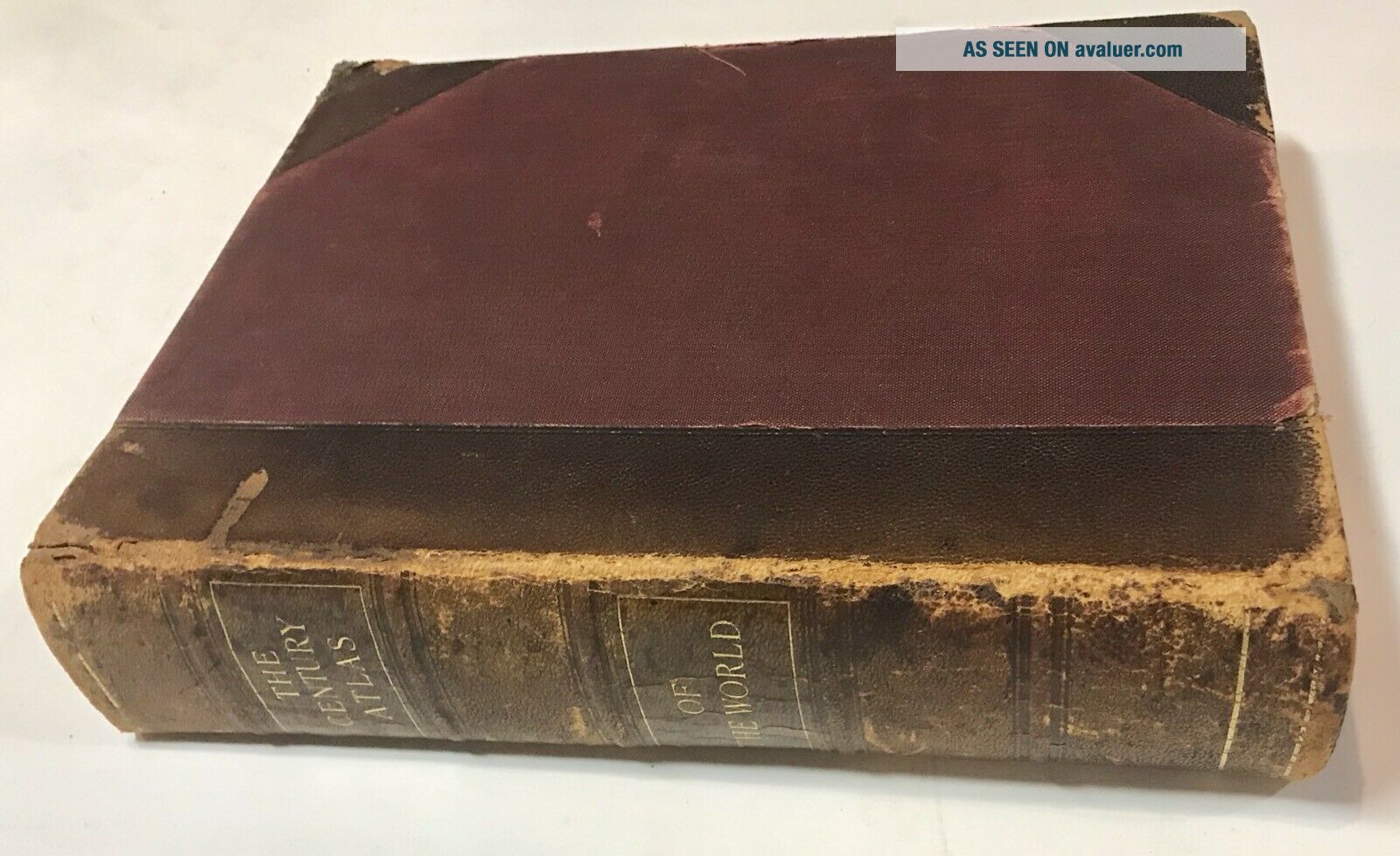
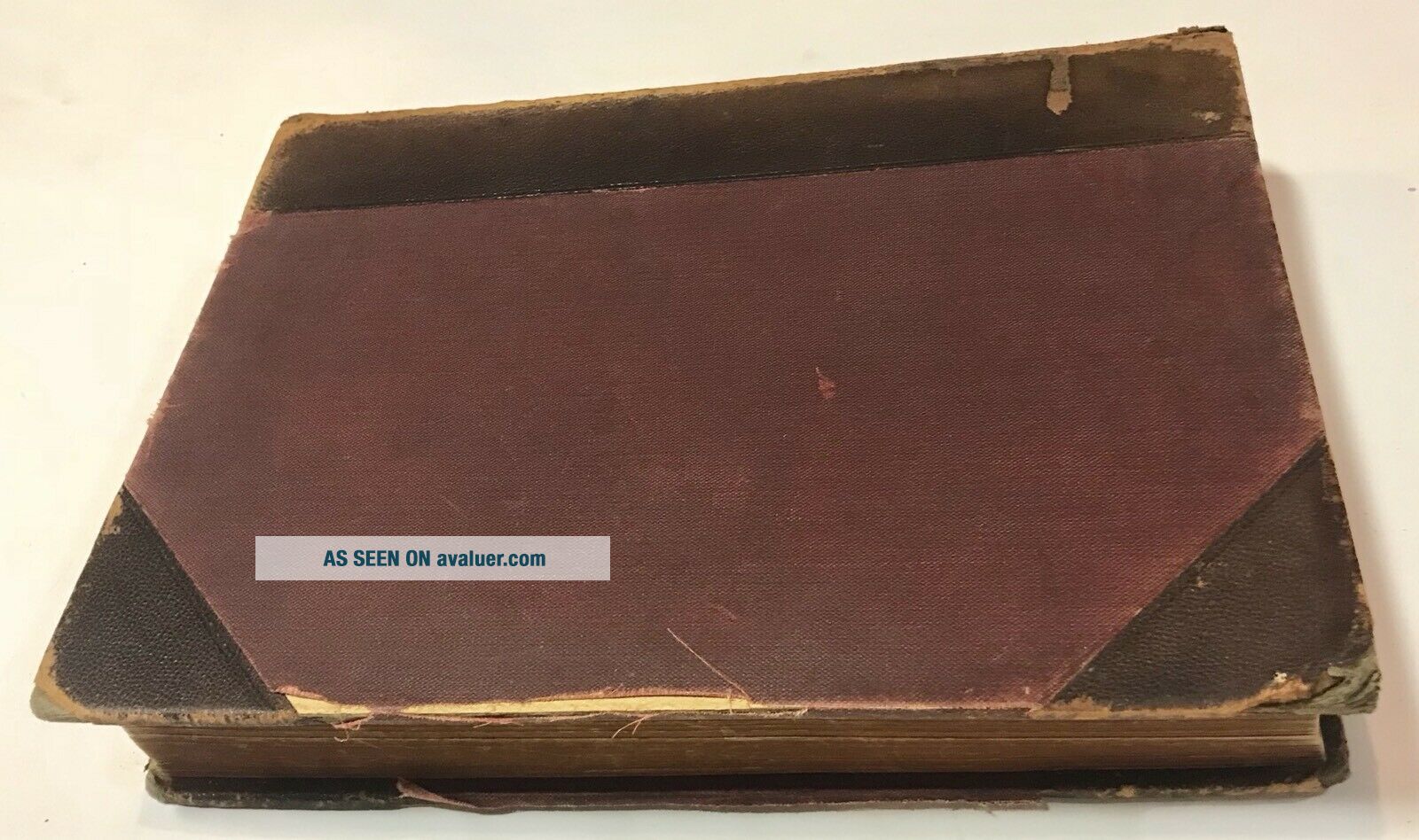
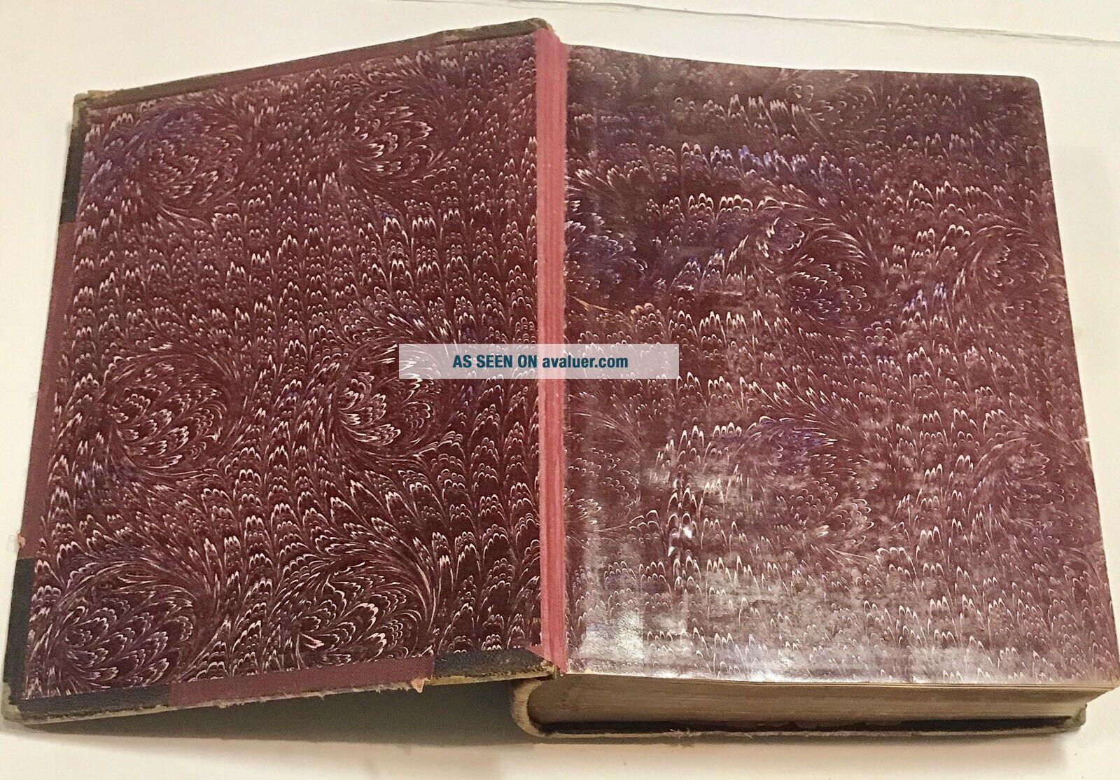
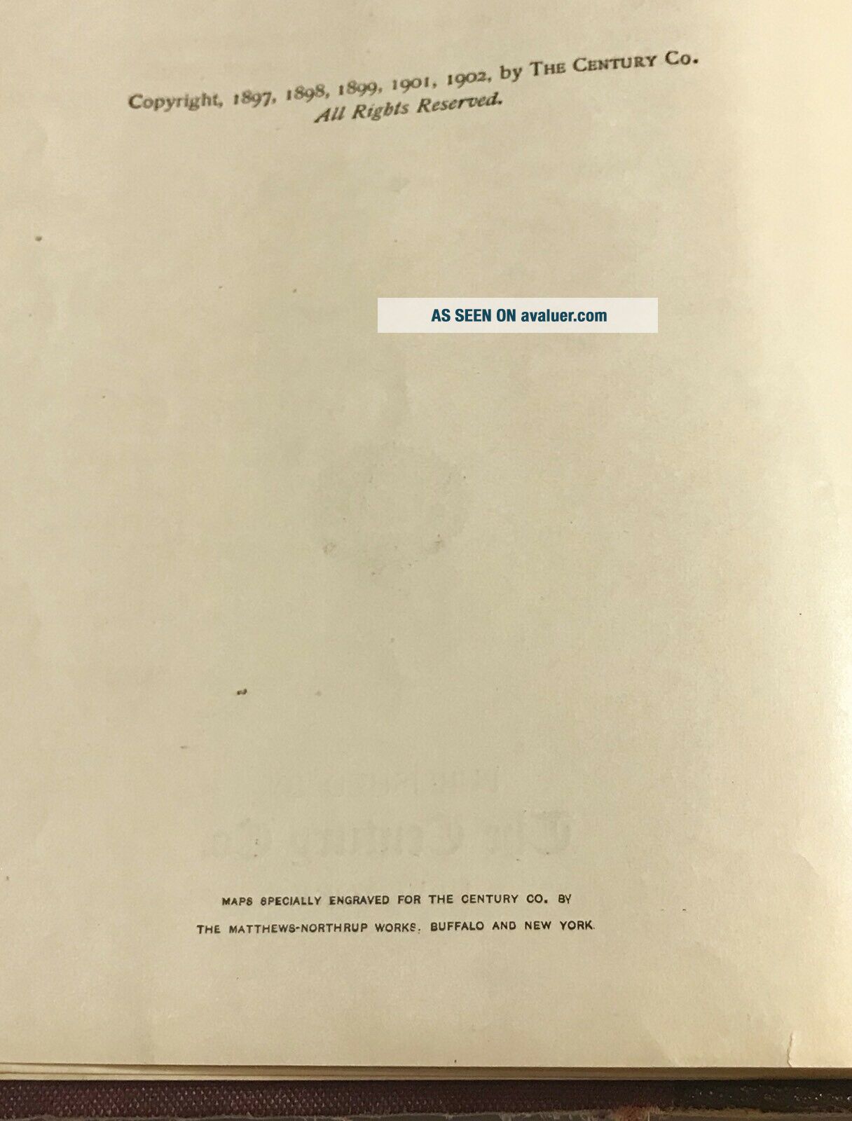
Leather cover with intact marbled end pages at the front and back. Copyright 1902, published by The Century Co. The book measures 12 1/4” x 9 1/4” and it’s about 2 1/4” thick. There are approximately 875 - the pages are not numbered in the extensive map section.
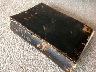
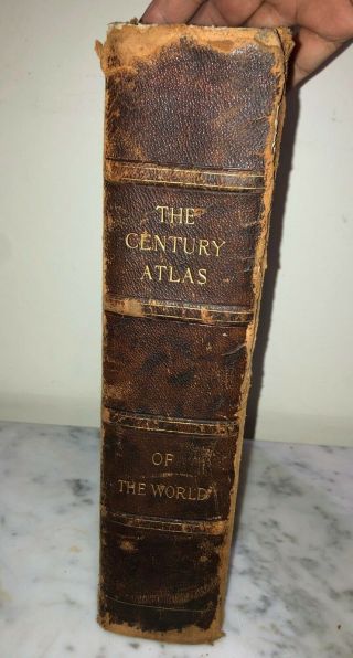
The cover shows wear as shown in my photos, and there is a split not affecting the overall strength of the binding (see photo 7). ...
The contents overall are outstanding. I only found one 1/2” tear that was only in the border of the map of Italy. There are no bends (no dog ears), no ownership marking or markings of any kind.
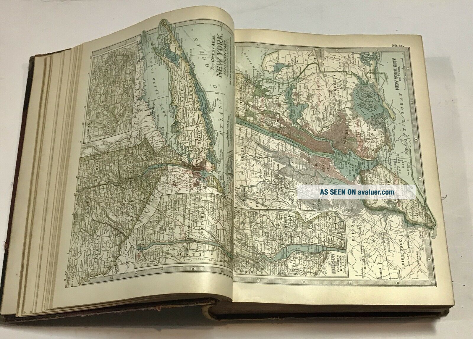
The most outstanding feature of the 118 maps is that they are all two pages on a single sheet of paper, printed one side only, and each has an attached hinge used to attach the map to the binding. So each map opens fully (with no part hidden in the fold and buried in the binding. And all 118 maps could be removed and framed separately.
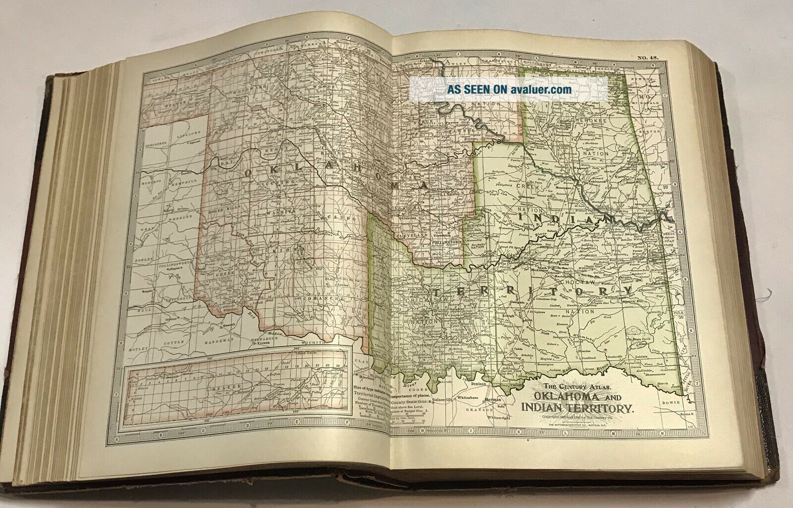
The maps include Oklahoma, which was at the time about half Indian Territory - see my 11th photo.
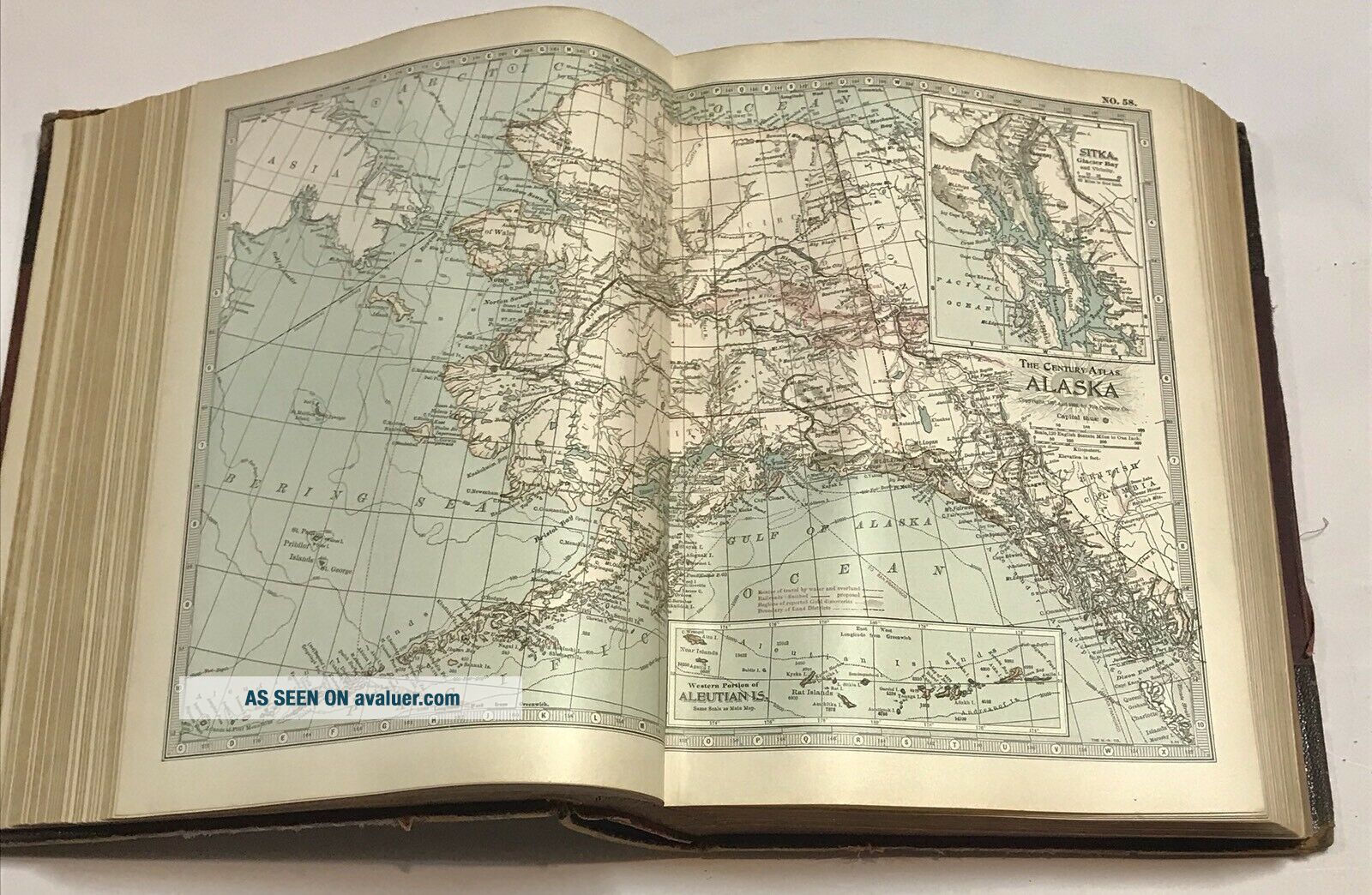
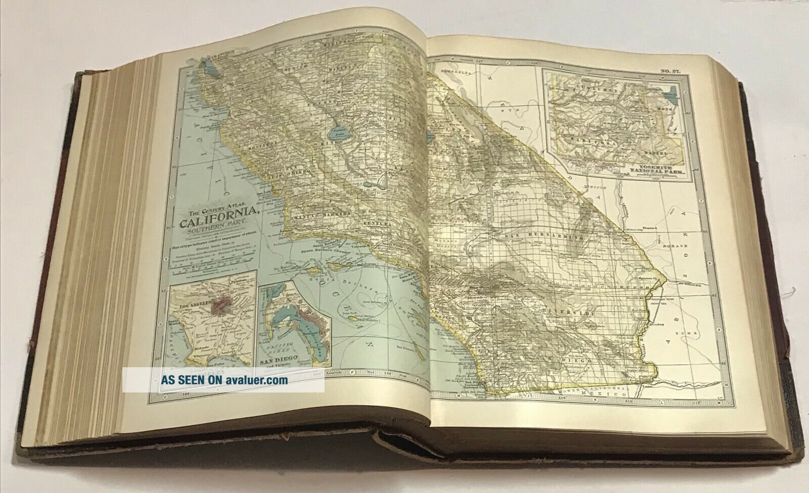
There are 58 US maps. Many simply show a full state (with some city map insets), others, like Ohio, show the top half of the state in one 2 page spread and the lower half in another spread. Some maps show 2 states on one 2 page spread (like Vermont and New Hampshire), and there are a few city maps (like NYC as shown in my 8th photo.
The other 60 maps are from around the world.
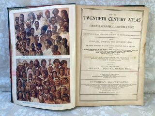
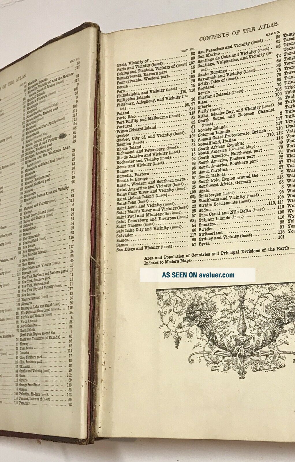
There are several additional historical maps (with a detailed index) in addition to the 118 ‘modern’ maps.
There are an additional 20 historical maps in the opening section, but they are printed on both sides of the pages.
There is a population index, and a 400 page index for the 118 maps.
100% satisfaction guarantee.
Leather cover with intact marbled end pages at the front and back. Copyright 1902, published by The Century Co. The book measures 12 1/4” x 9 1/4” and it’s about 2 1/4” thick. There are approximately 875 - the pages are not numbered in the extensive map section.
The cover shows wear as shown in my photos, and there is a split not affecting the overall strength of the binding (see photo 7). ...
The contents overall are outstanding. I only found one 1/2” tear that was only in the border of the map of Italy. There are no bends (no dog ears), no ownership marking or markings of any kind.
The most outstanding feature of the 118 maps is that they are all two pages on a single sheet of paper, printed one side only, and each has an attached hinge used to attach the map to the binding. So each map opens fully (with no part hidden in the fold and buried in the binding. And all 118 maps could be removed and framed separately.
The maps include Oklahoma, which was at the time about half Indian Territory - see my 11th photo.
There are 58 US maps. Many simply show a full state (with some city map insets), others, like Ohio, show the top half of the state in one 2 page spread and the lower half in another spread. Some maps show 2 states on one 2 page spread (like Vermont and New Hampshire), and there are a few city maps (like NYC as shown in my 8th photo.
The other 60 maps are from around the world.
There are several additional historical maps (with a detailed index) in addition to the 118 ‘modern’ maps.
There are an additional 20 historical maps in the opening section, but they are printed on both sides of the pages.
There is a population index, and a 400 page index for the 118 maps.
100% satisfaction guarantee.