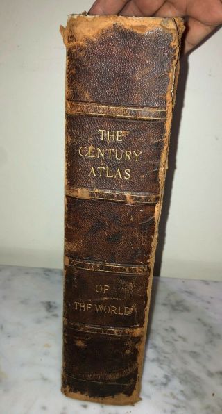
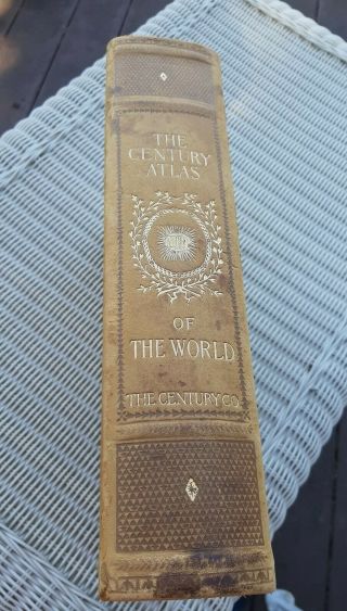
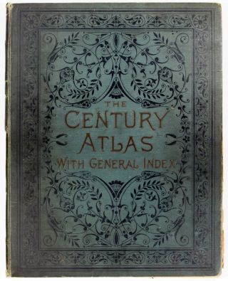
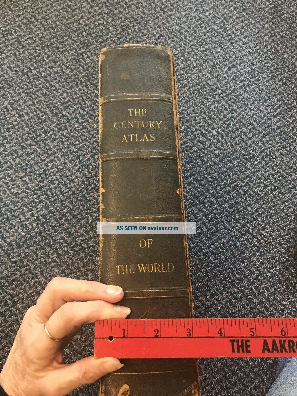
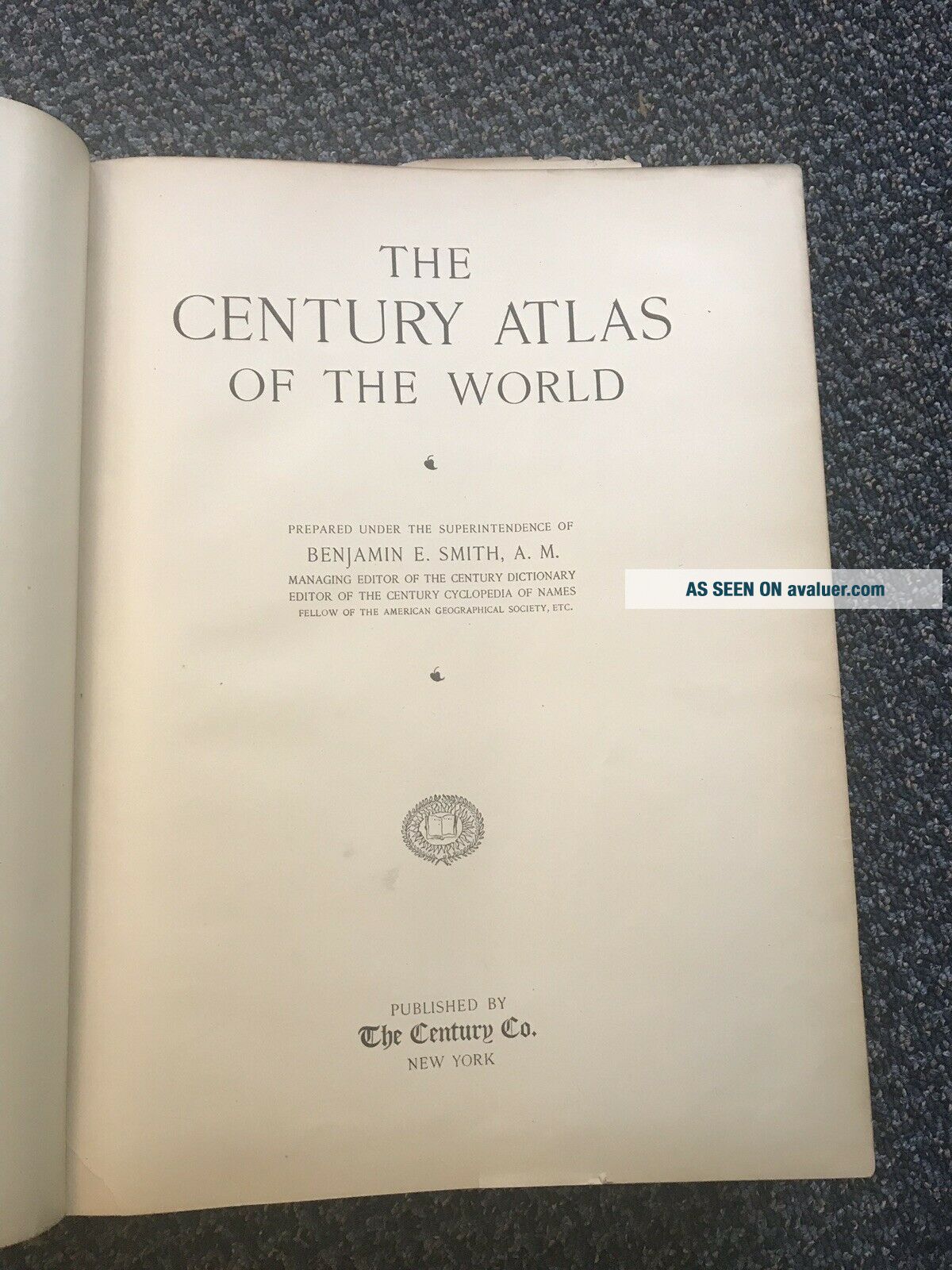
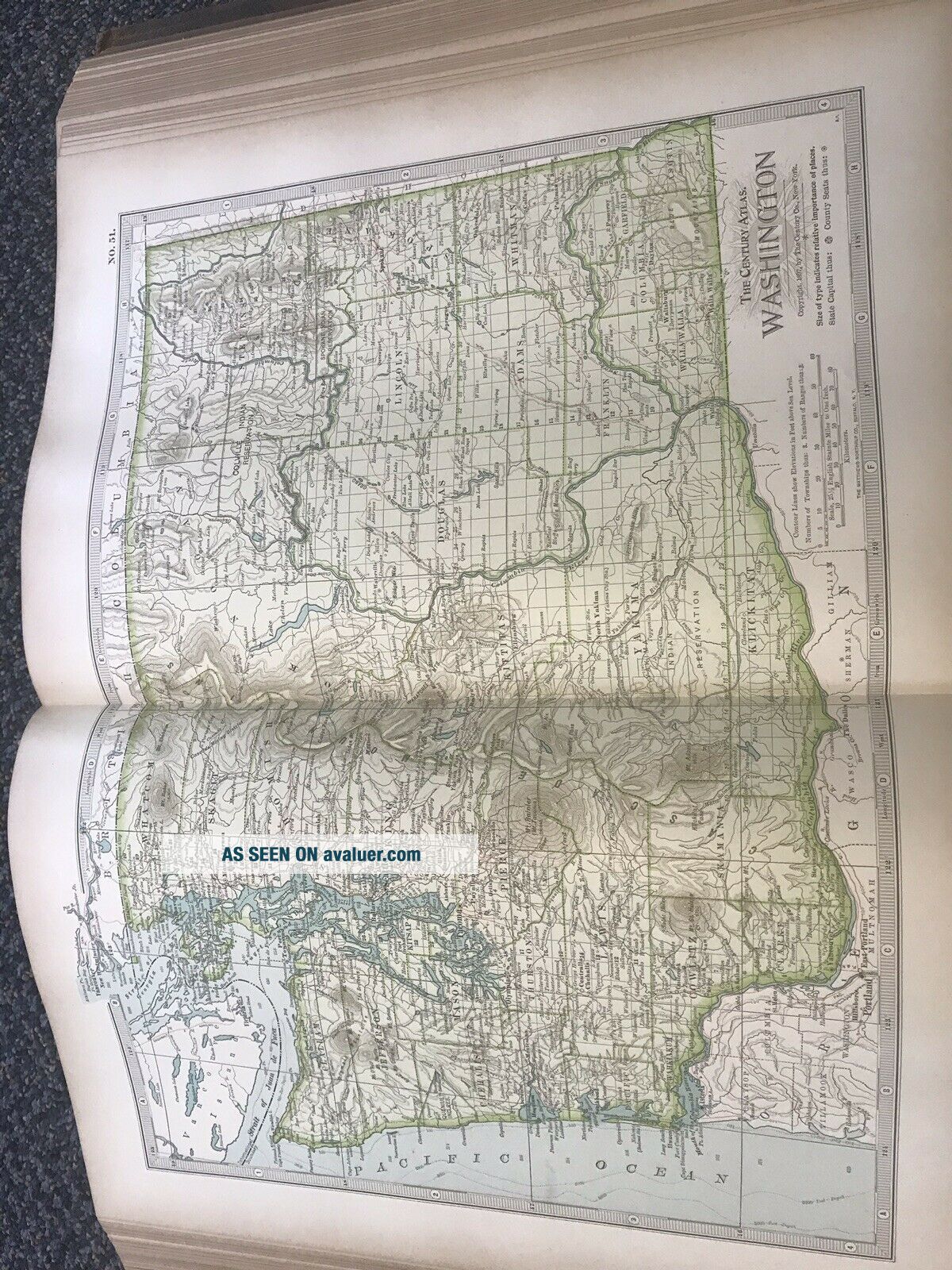
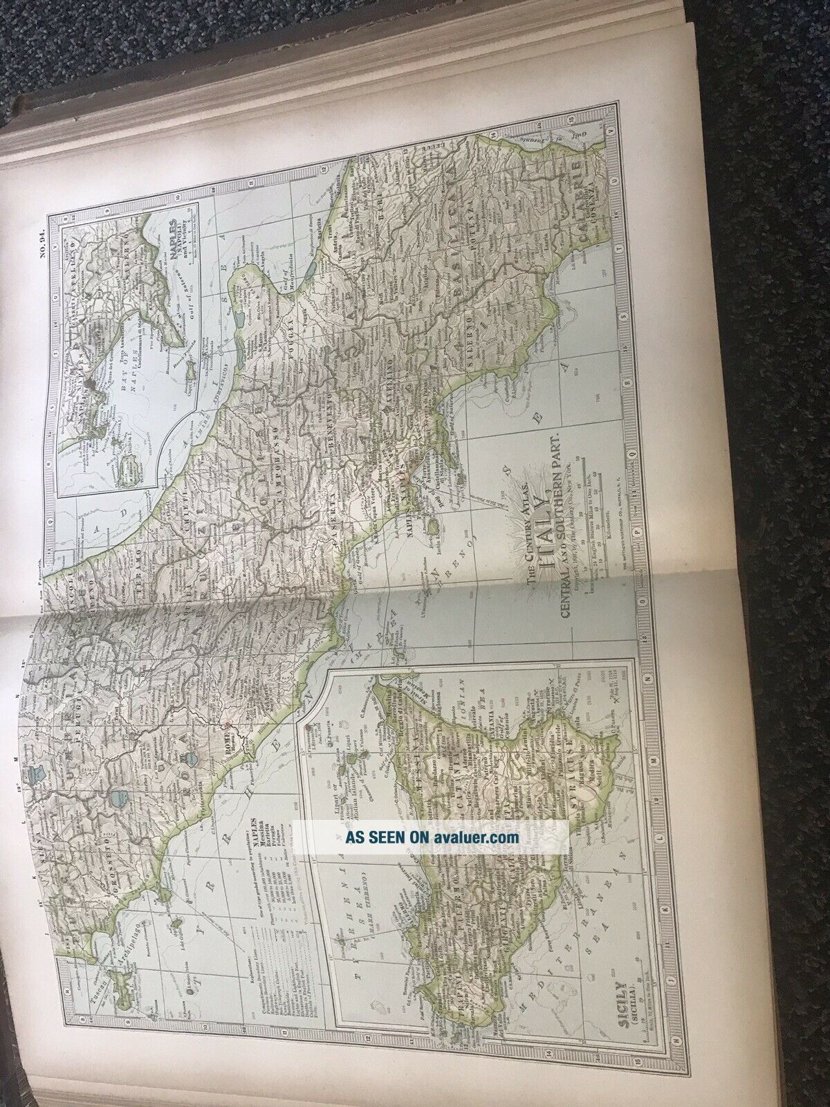
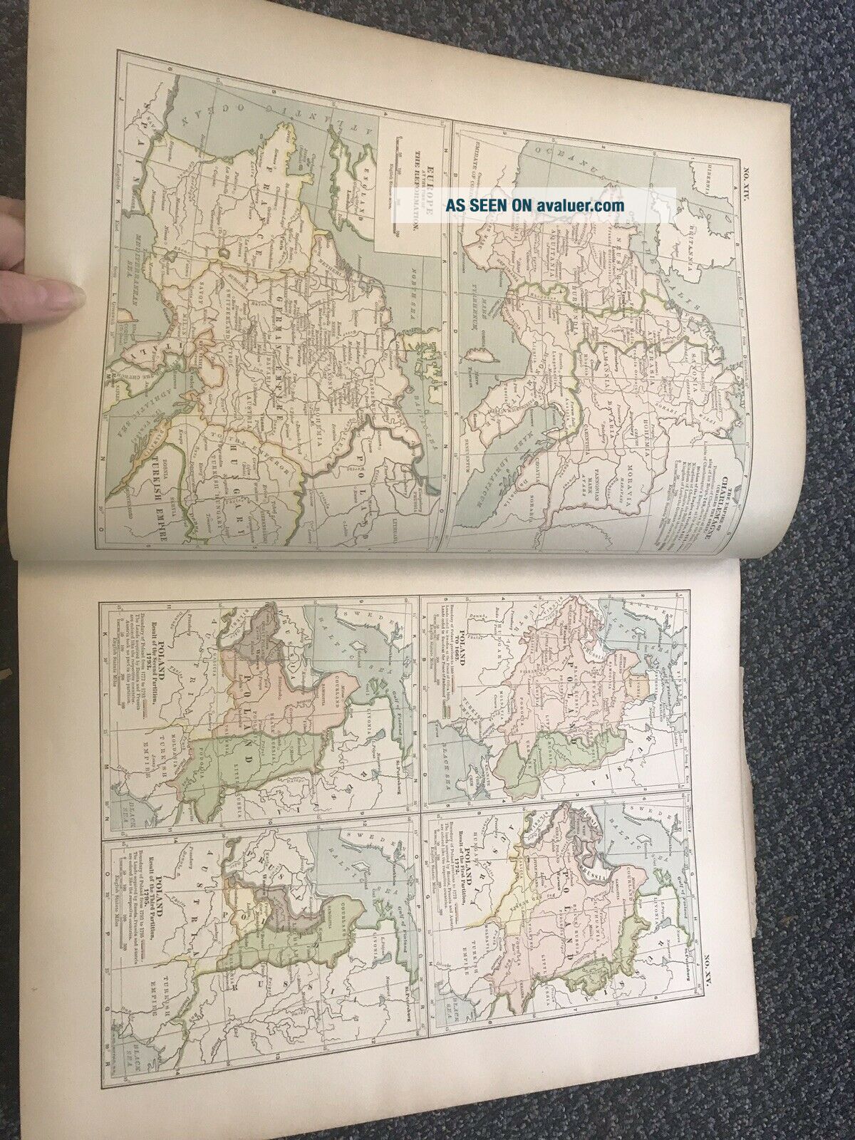
1897 THE CENTURY ATLAS OF THE WORLD. Publ. By The Century Co.


Item History & Price

Information:
Reference Number: Avaluer:33330Format: Atlas
Original Description:
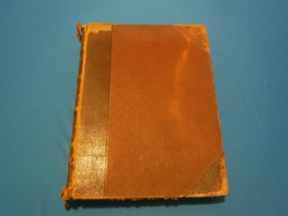
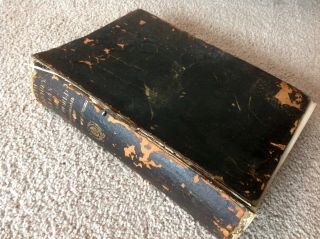
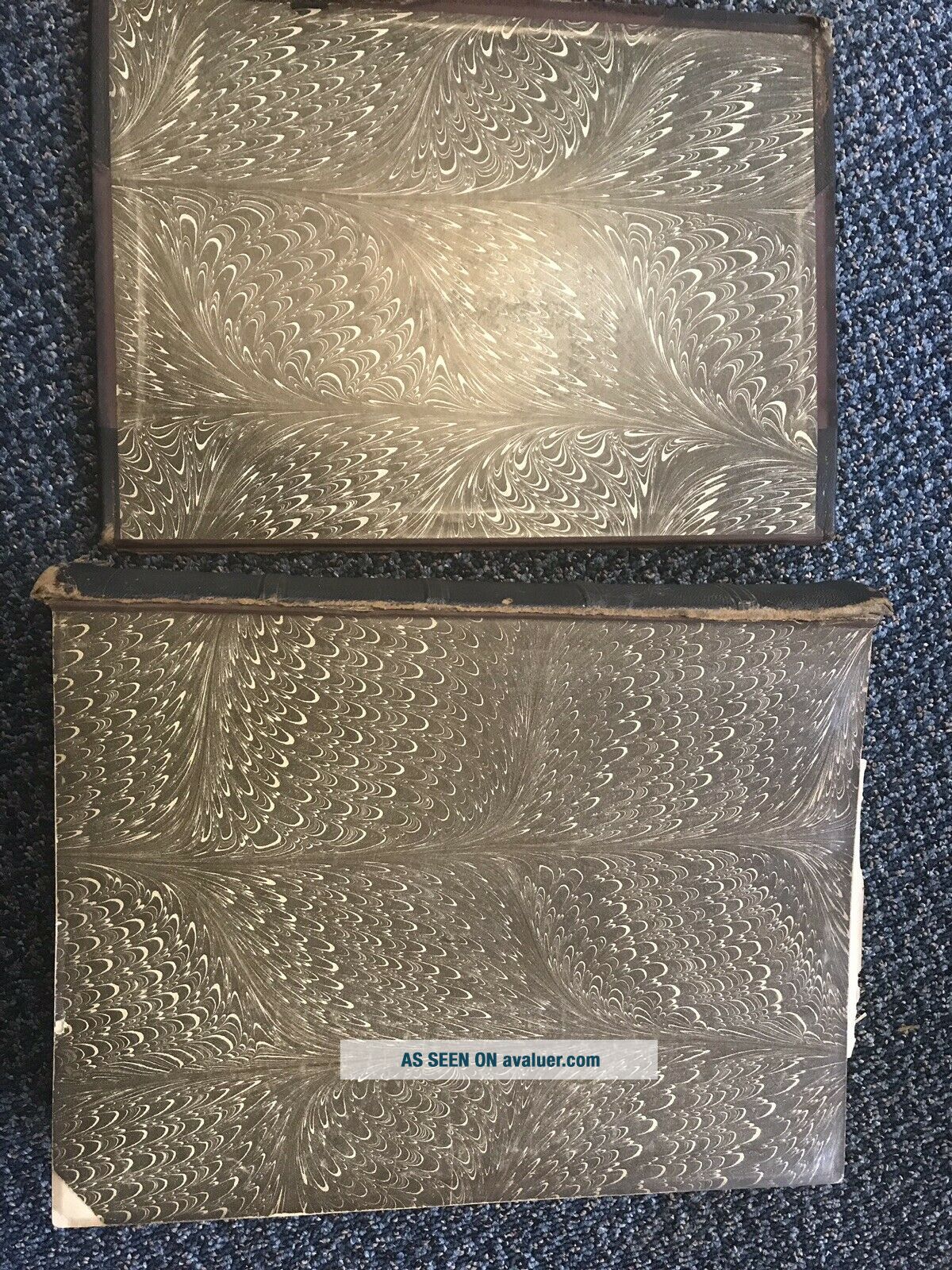
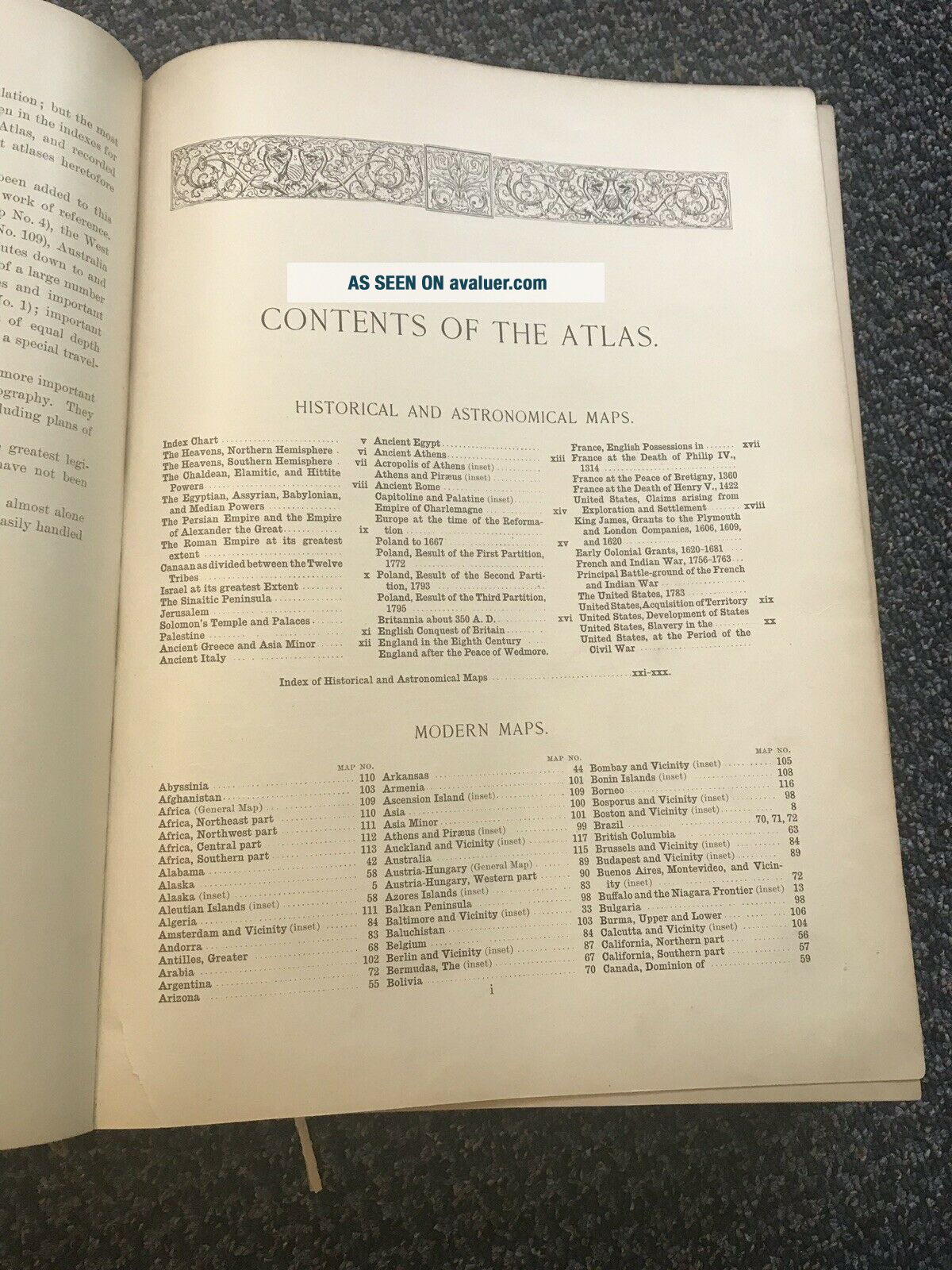
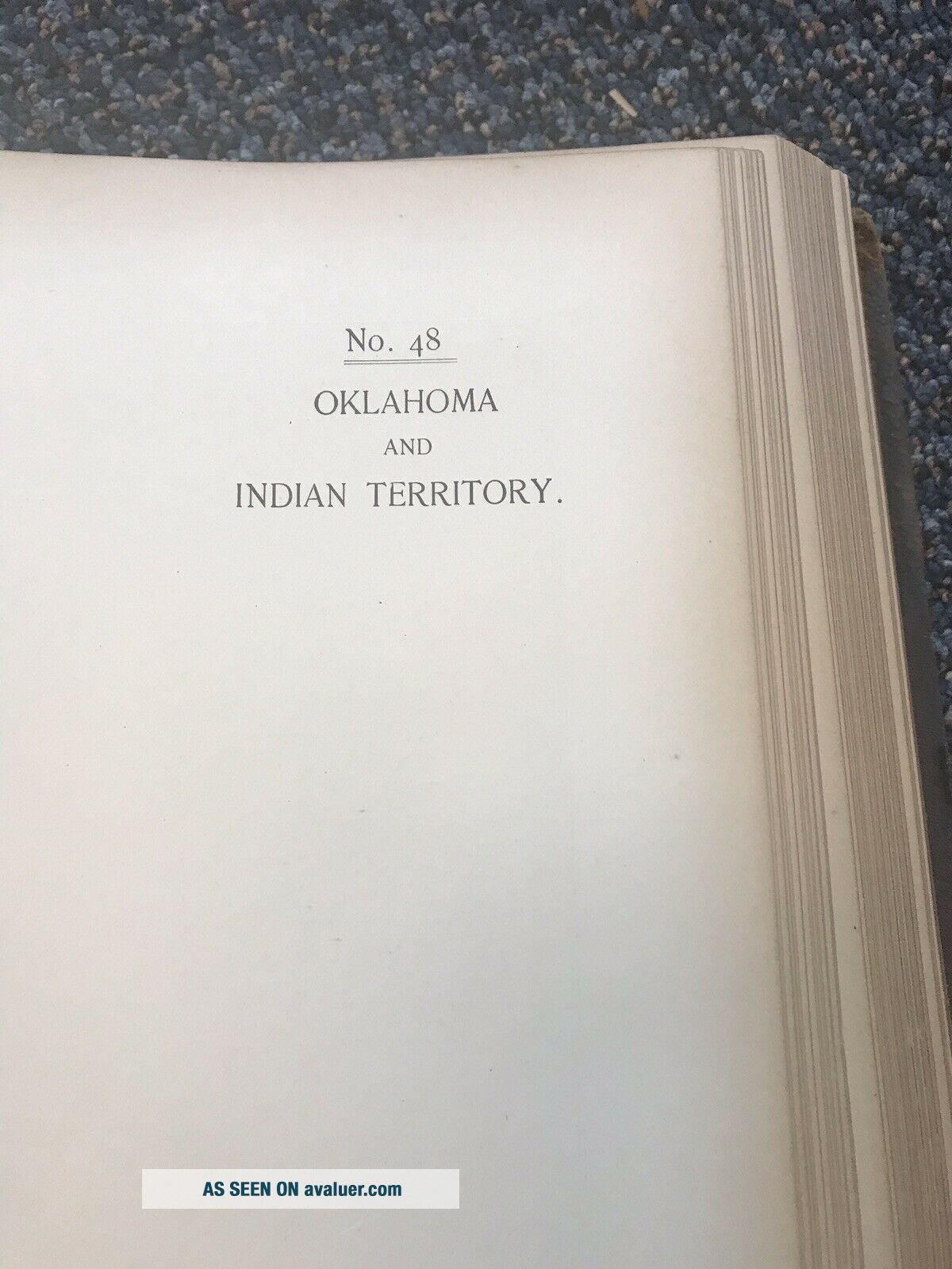
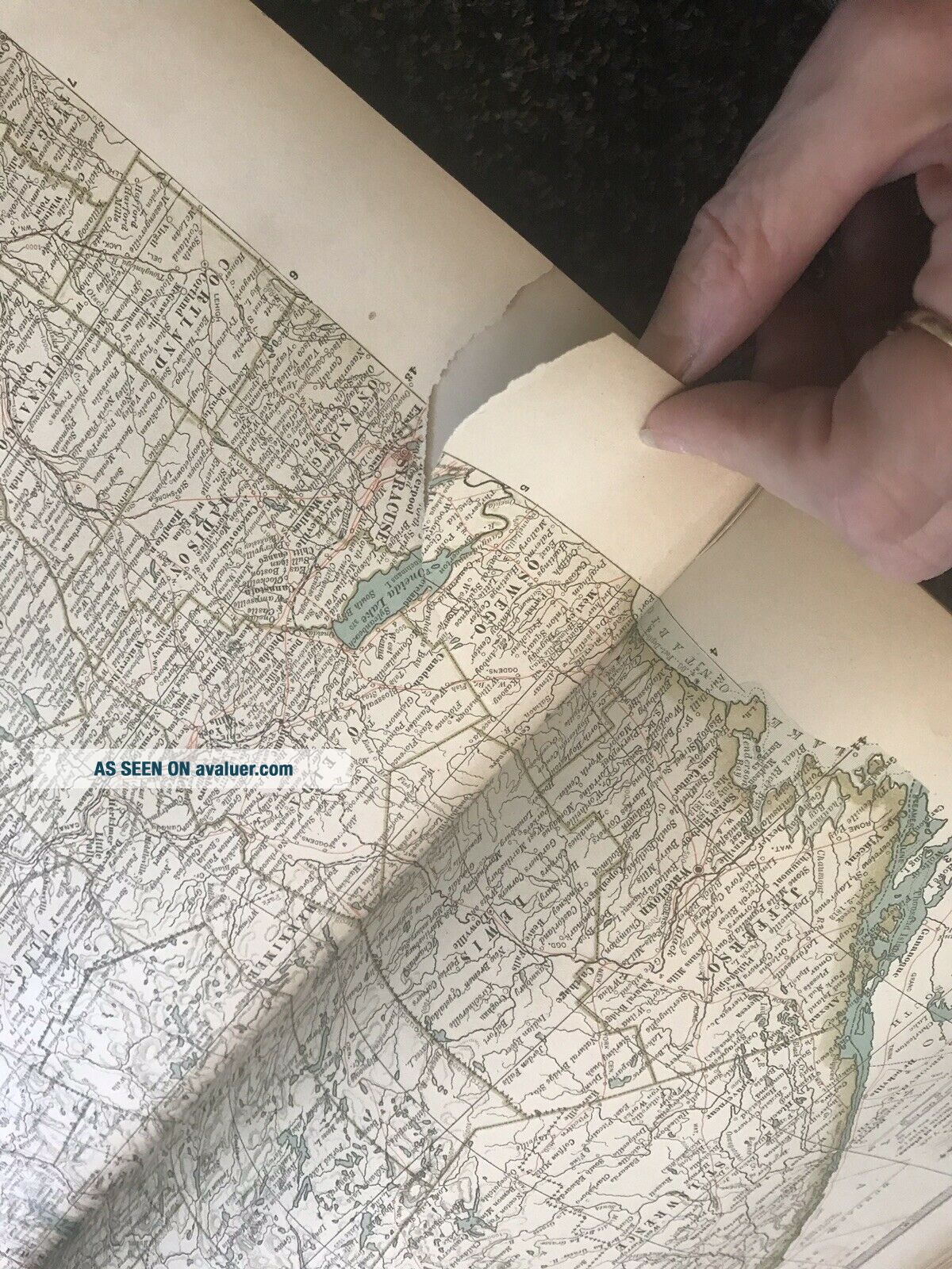
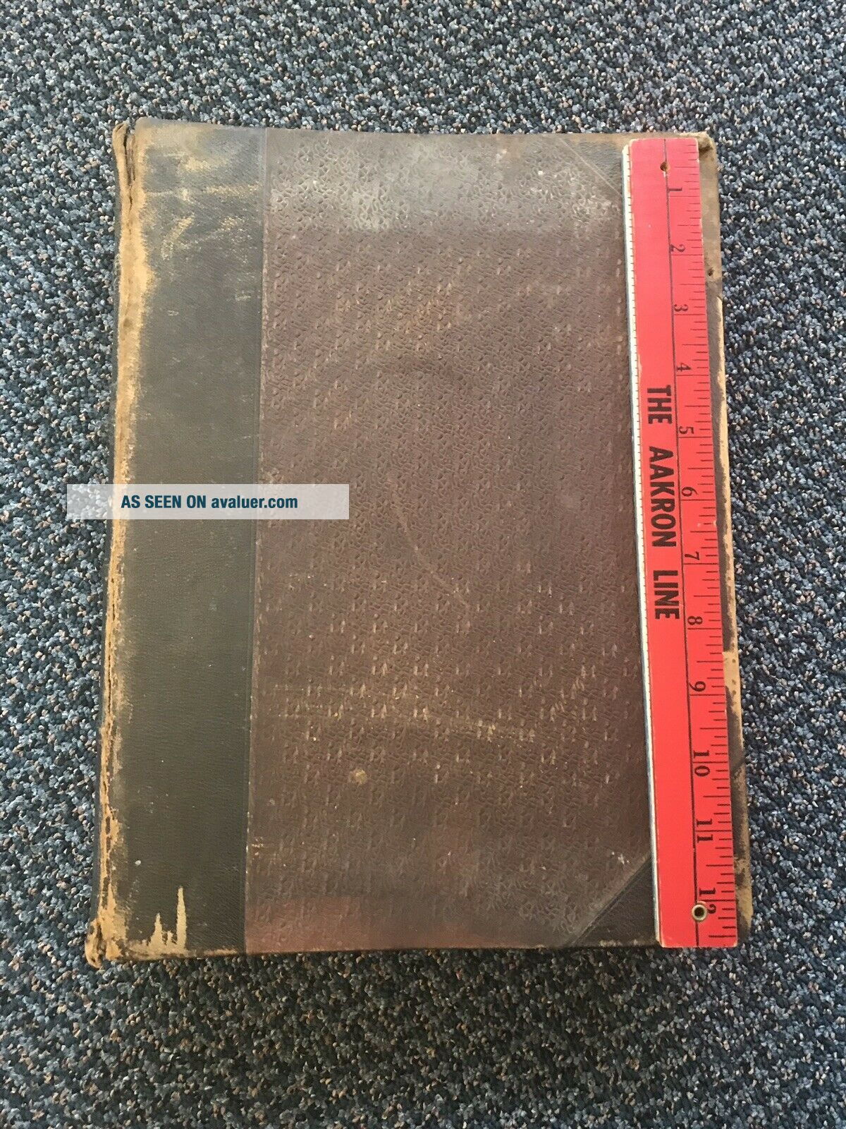
Nice colors because it has been shut and protected. Oklahoma says ‘INDIAN COUNTRY’. I’m sure you’ll find other interesting facts as you read through it. Remember each map is 122 years old. I hope it goes to a home where it will be enjoyed. This is in good condition giving its age. The front cover is torn off evenly. Seems like that could be fixed. About 3 pages have very clean rips about an inch to two inches. These maps look like they are made to tear out. Someone on eBay did ...that and is selling each map by the piece. Myself I would want to leave it together. One page is torn out but it is there in one piece. It’s a map of the world. 1897 THE CENTURY ATLAS OF THE WORLD..Publ. By The Century Co.. Shipped with Media Mail. No returns. It really is a wonderful atlas. Some worn edges on outside of book. Study the pics.


    Similar items


  • The Century Atlas Of The World - Benjamin E.  Smith,  A.  M. ,  1897,  Illustrated

    The Century Atlas Of The World - Benjamin E. Smith, A. M. , 1897, Illustrated

  • The Century Atlas Of The World Benjamin E.  Smith Copyright 1897

    The Century Atlas Of The World Benjamin E. Smith Copyright 1897

  • Rare Complete 1897 " The Century Atlas Of The World " By Benjamin E.  Smith

    Rare Complete 1897 " The Century Atlas Of The World " By Benjamin E. Smith

  • 1897 First Edition " Century Atlas Of The World " Maps - Full Index - Rare

    1897 First Edition " Century Atlas Of The World " Maps - Full Index - Rare

  • 1902 Century Atlas Of The World Incl.  All Us State & Indian Territory,  118 Maps

    1902 Century Atlas Of The World Incl. All Us State & Indian Territory, 118 Maps

  • Crams Century Atlas Of The World Indexed 1902 Vintage Antique Book

    Crams Century Atlas Of The World Indexed 1902 Vintage Antique Book

  • 1907 Large Old Vintage The Century Atlas Of The World 66 Maps,  Index

    1907 Large Old Vintage The Century Atlas Of The World 66 Maps, Index


    • You might also like


    • 1860 Mitchell Hand Colored Map Colorado,  Nebraska & Kansas - Civil War Era

      1860 Mitchell Hand Colored Map Colorado, Nebraska & Kansas - Civil War Era

    • 18th Century French Map Of North America

      18th Century French Map Of North America

    • Las Vegas Nevada Vintage 1967 Us Geological Survey Quadrangle Map 4 Panels

      Las Vegas Nevada Vintage 1967 Us Geological Survey Quadrangle Map 4 Panels

    • Rare Antique 1845 Maps United States Exploring Expedition Book Antartica Hawaii

      Rare Antique 1845 Maps United States Exploring Expedition Book Antartica Hawaii

    • Vintage 1926 Map Hollywood From The Best Surveys Of The Time

      Vintage 1926 Map Hollywood From The Best Surveys Of The Time

    • American Continent (western Hemisphere) 1747 Bowen Antique Copper Engraved Map

      American Continent (western Hemisphere) 1747 Bowen Antique Copper Engraved Map

    • Gulf Coast Florida Texas United States 1705 De Fer Unusual Antique Engraved Map

      Gulf Coast Florida Texas United States 1705 De Fer Unusual Antique Engraved Map

    • California As Island United States 1700 De Fer Unusual First Edition Antique Map

      California As Island United States 1700 De Fer Unusual First Edition Antique Map

Avaluer          About Us          Privacy Policy          Contact Us          UP
© 2022, avaluer.net, Inc. or its affiliates