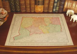
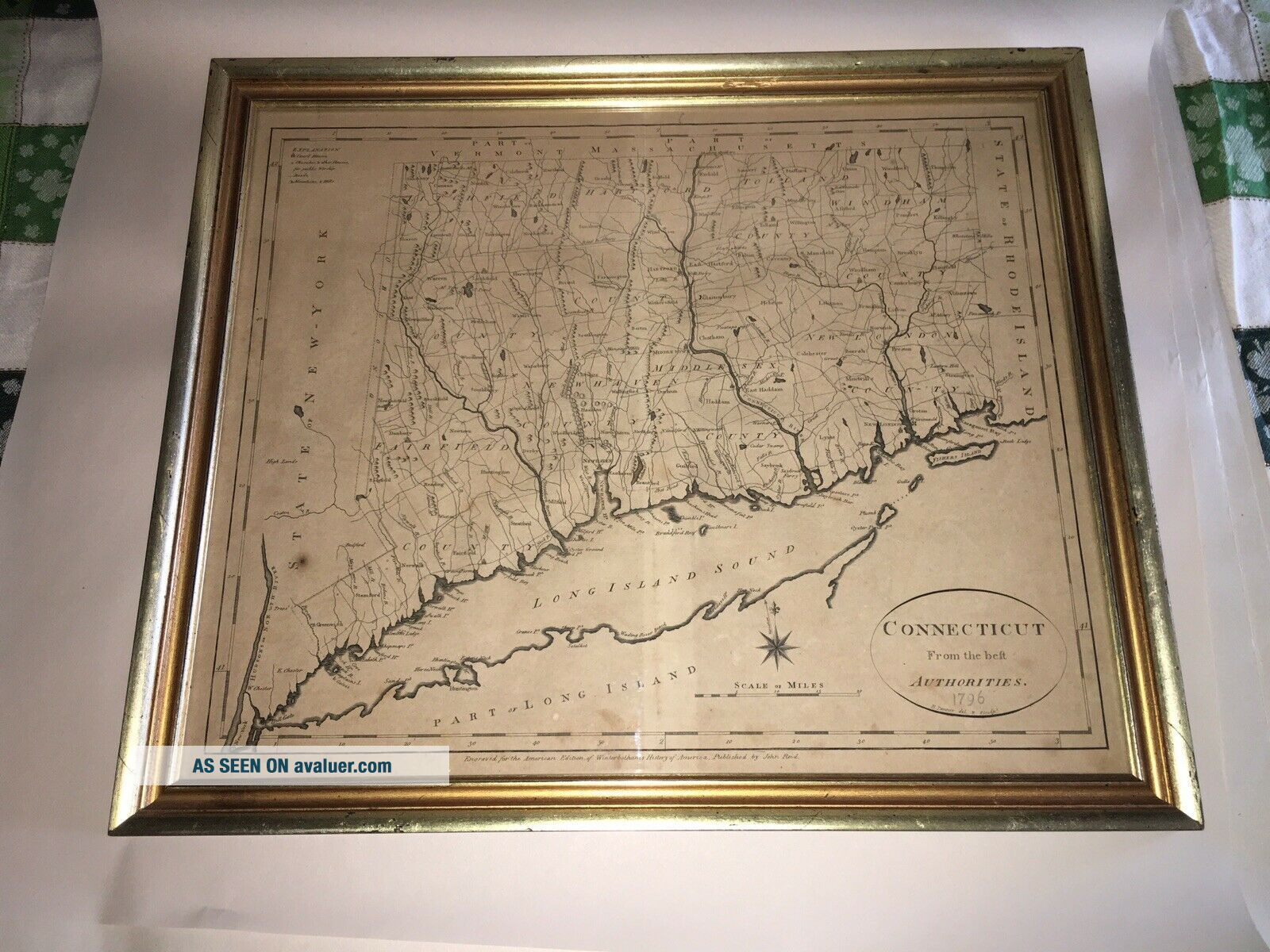
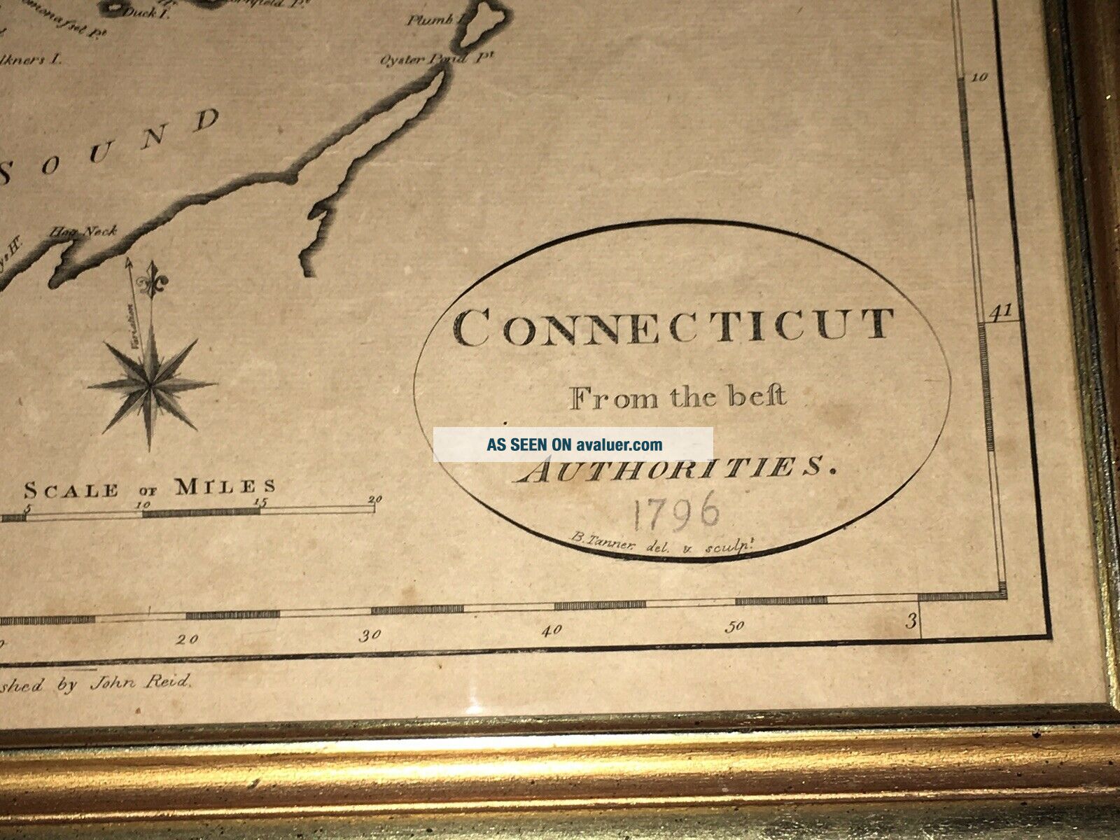
Antique Map Connecticut B. Tanner 1796 American Ed. Winterbothams John Reid Pub.


Item History & Price
| Reference Number: Avaluer:32085 | Year: 1796 |
| US State: Connecticut |
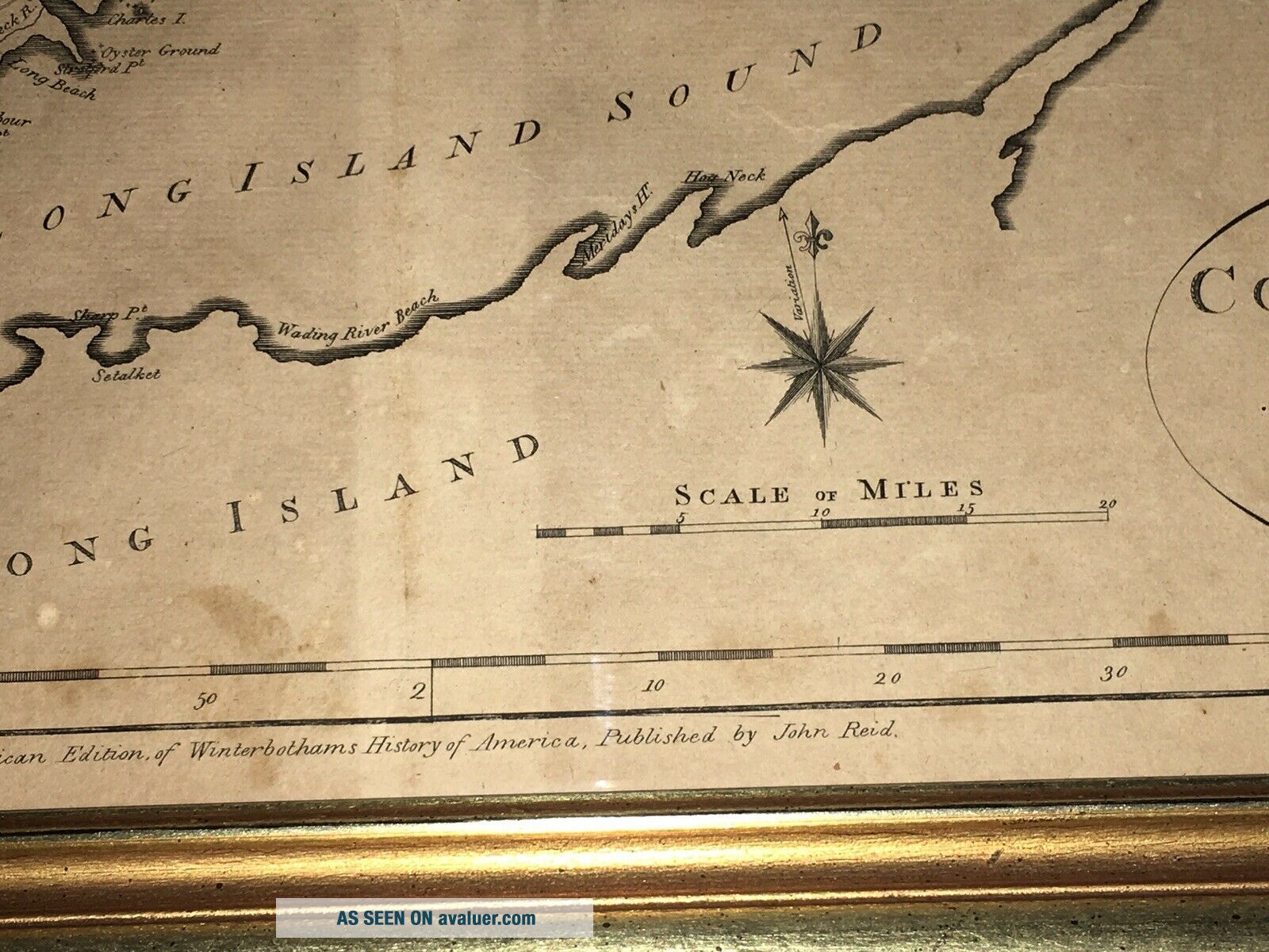
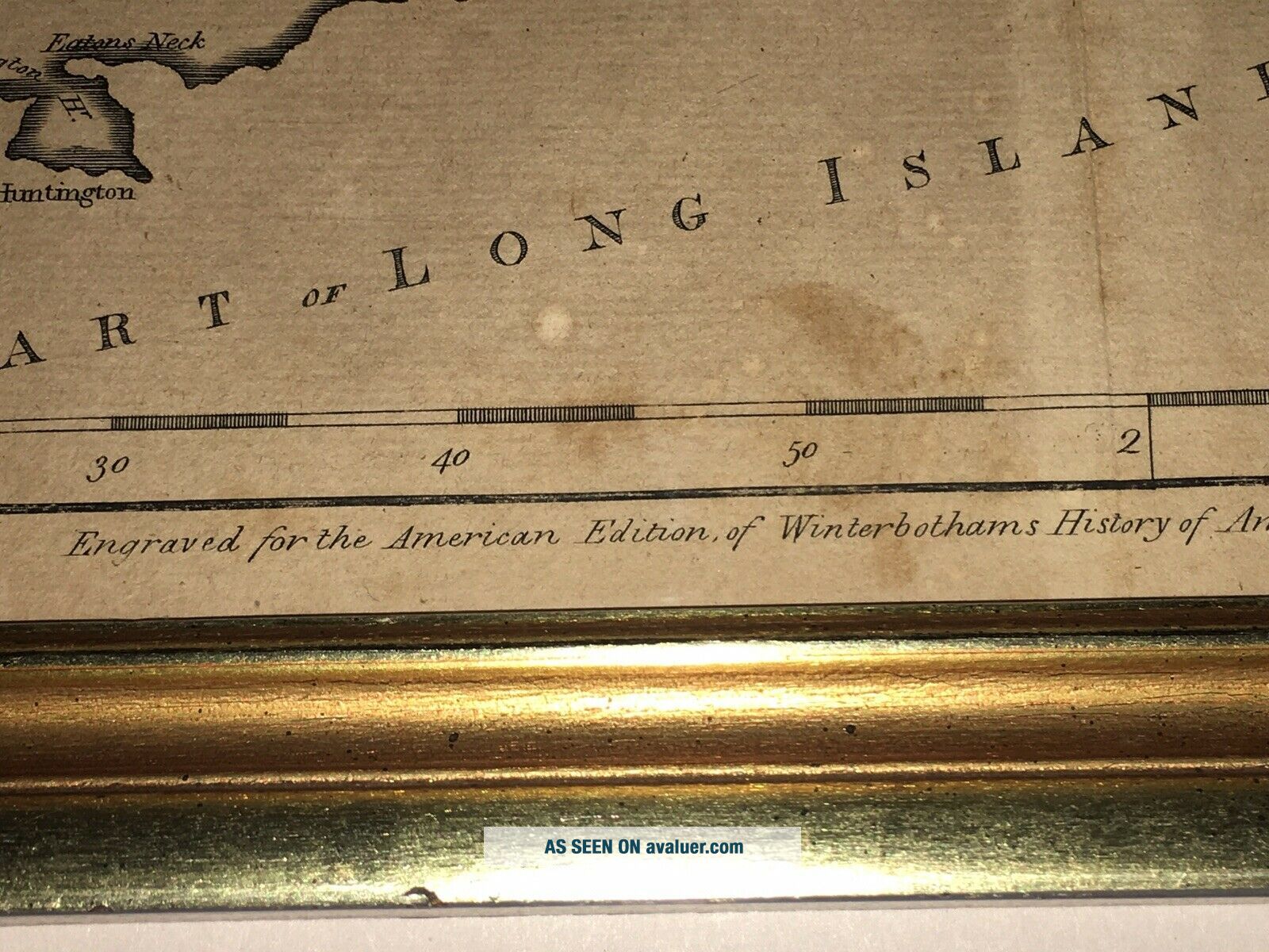
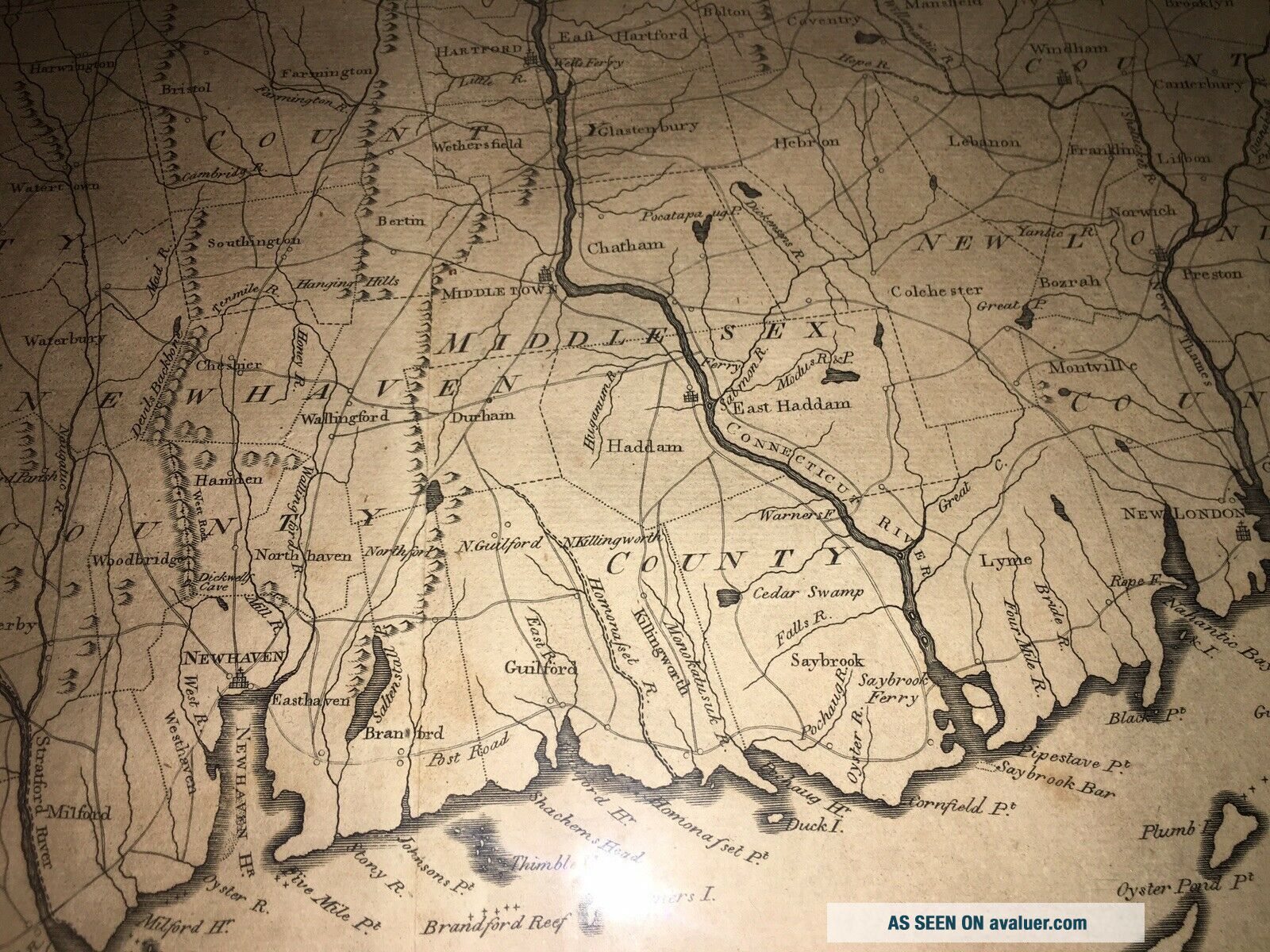
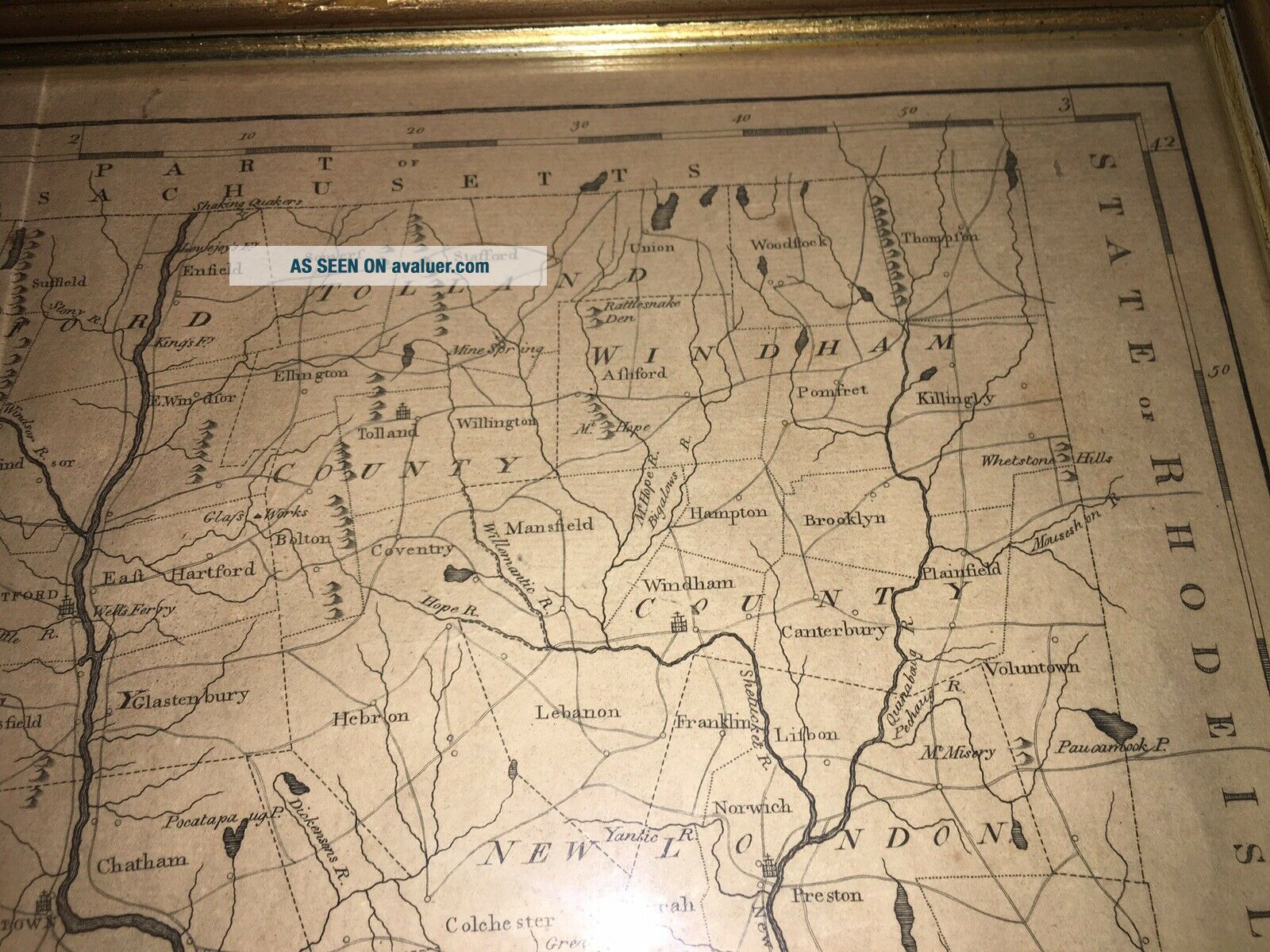
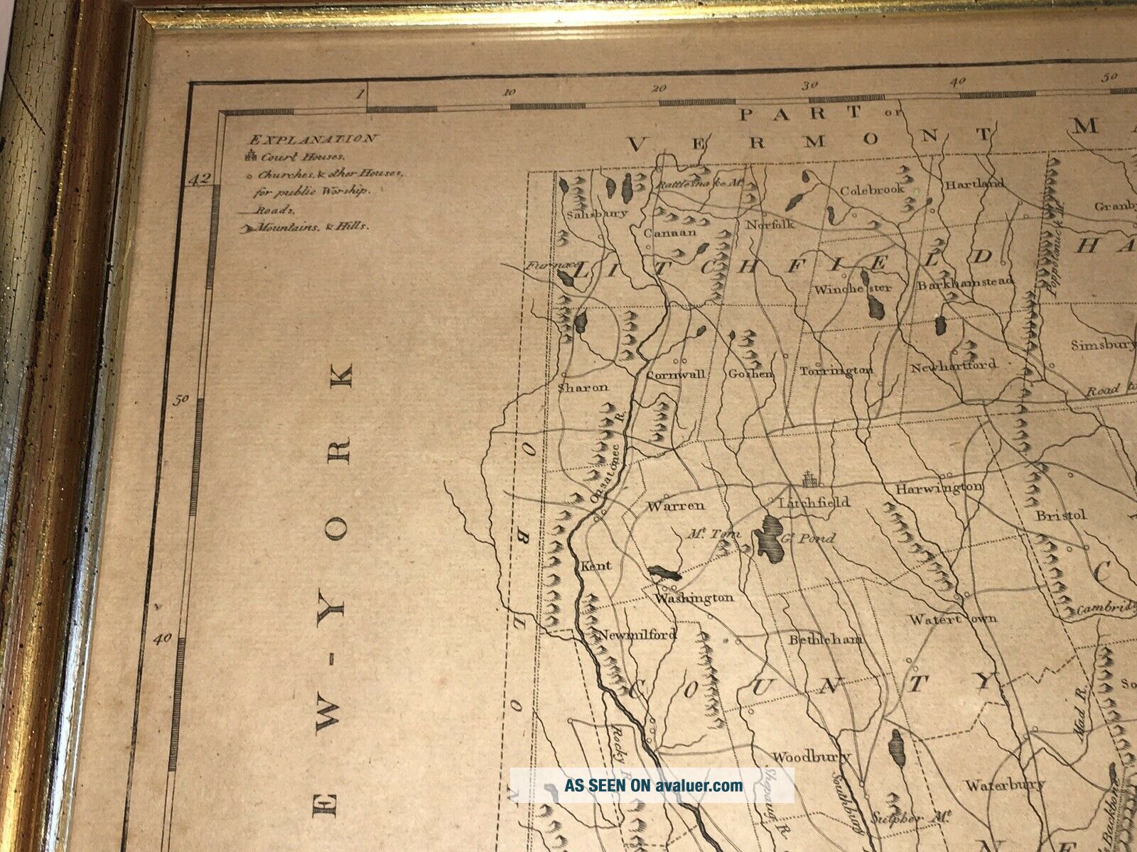
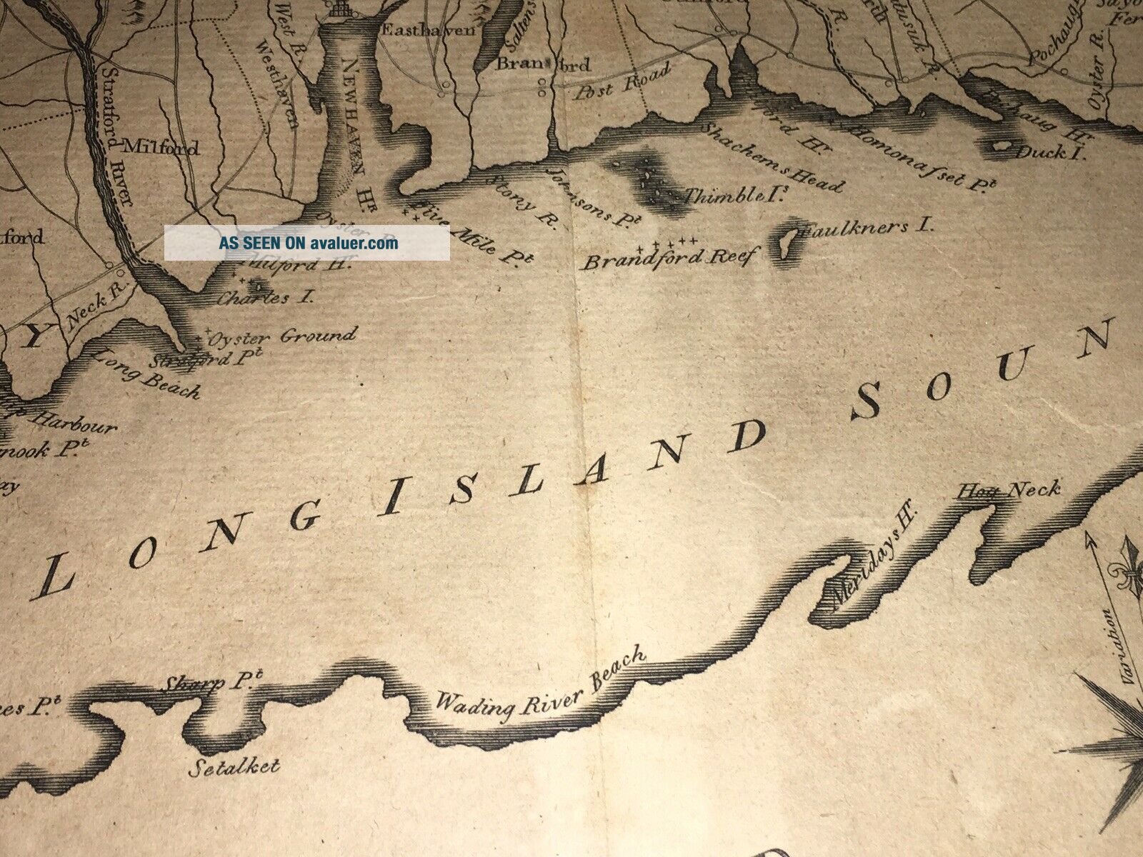
Up for auction we have this Antique 1796 Map Of Connecticut. Engraved by Benjamin Tanner for the American Edition of Winterbothams History Of America. Published by John Reid. This map was issued in Reid's American Atlas. It shows where lakes, rivers and hills. Also counties, towns and roads. This map has two interesting features along the western border is a narrow strip between Connecticut and New York, entitled "Oblong, " which was an area of dispute between the states. Then the top ...left corner of the map the label "Part of Vermont, " was burnished out because the area was actually part of Massachusetts. In very good condition with a light crease in the center “most likely” where is was folded in the Atlas and some minor staining. It measures 15 1/4” by 18 1/4” plus the frame. A nice manageable size to display. Framed in a nice aged gilt framed ready to hang up. Please view my pictures for further condition and feel free to ask me any questions. Satisfaction guaranteed.