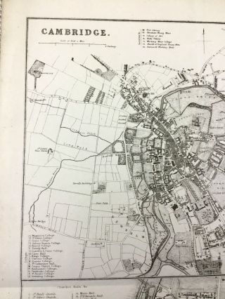
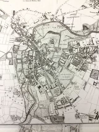
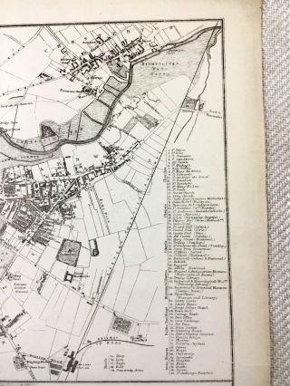
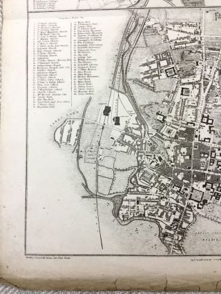
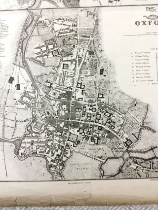
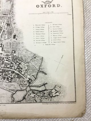
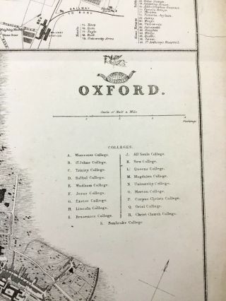
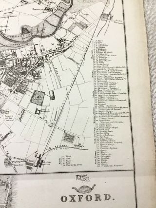
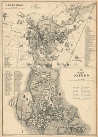
Antique Map Oxford Cambridge University City Plan 19th Century Old Colleges


Item History & Price

Information:
Reference Number: Avaluer:32125Printing Technique: Lithography
Era: 1800sOriginal/Reproduction: Antique Original
Original Series: The Weekly DispatchApprox Size When Unfolded: 50cm x 35cm, 19.5 x 14 inches
Printer: Day & SonFormat: Sheet Map
Country/Region: EnglandType: Physical Map
Cartographer/Publisher: J W LowryYear: 1857
City: Oxford & CambridgeDate Range: 1800-1899
County: Cambridgeshire, Oxfordshire
Original Description:
Original Antique Map Circa 1850s - Oxford & Cambridge Universities DATE PRINTED: 1857 - 1863   
MAP SIZE WHEN UNFOLDED: Approx 50cm x 35cm, 19.5 x 14 inches 
TYPE: Antique map 
Good; suitable for framing  Given the fact this map is over 160 years old, there are Signs of age marks yellowing and potential marks / spots / stains / foxing. Minor tares and crumples to outer edges, Pre folded and creased, Please review the outer edges, as this is wh...ere most of signs of age appear. You will receive the item pictured, so the pictures are integral to the condition report and listing. Please check the pictures for any blemishes prior to making your purchase. Virtually all antiquarian maps and prints are subject to some normal aging due to use and time. As the map is prefolded, all maps are shipped folded and flat for safe secure shipping. No date on the map, however this was part of the supplement of the Weekly dispatch paper in 1857 / 58.
AUTHENTICITY: This is an authentic historic map, published at the date stated above. It is not a modern copy.
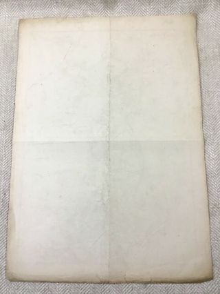
VERSO: There is nothing printed on the reverse side, which is plain 
ARTIST/CARTOGRAPHER/ENGRAVER: J W lowry    Published by Day & Son. 
PROVENANCE: The Weekly Dispatch Atlas, London, 1850s / 60s


    Similar items


  • Oxford & Cambridge.  Town/city Plan By Jw Lowry For The Dispatch Atlas 1863 Map

    Oxford & Cambridge. Town/city Plan By Jw Lowry For The Dispatch Atlas 1863 Map

  • Antique Map.  North America.  York.  City Plan Of York.  C 1895

    Antique Map. North America. York. City Plan Of York. C 1895

  • C1890 Antique Map St Petersburg & Environs City Plan

    C1890 Antique Map St Petersburg & Environs City Plan

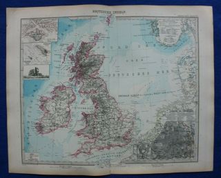
  • Antique Map British Isles,  London City Plan,  Heligoland,  Stieler,  1891

    Antique Map British Isles, London City Plan, Heligoland, Stieler, 1891

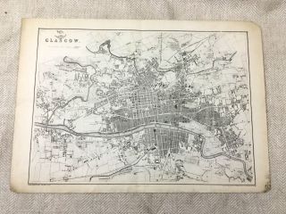
  • Antique Map Glasgow Scotland City Plan 19th Century Old Victorian

    Antique Map Glasgow Scotland City Plan 19th Century Old Victorian

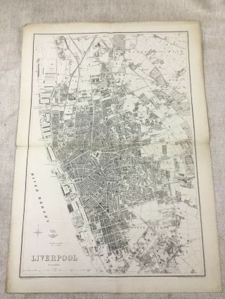
  • Antique Map Liverpool City Plan 19th Century Old Victorian England

    Antique Map Liverpool City Plan 19th Century Old Victorian England

  • 1890 Antique Map Of London England City Street Plan 19th Century

    1890 Antique Map Of London England City Street Plan 19th Century

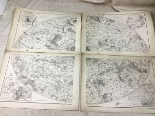
  • Antique Map Of Paris France Versailles City Plan 19th Century Rare Large Maps

    Antique Map Of Paris France Versailles City Plan 19th Century Rare Large Maps


    • You might also like


    • Hungary & Romania 1579 (1584) Ortelius Unusual Antique Copper Engraved Map

      Hungary & Romania 1579 (1584) Ortelius Unusual Antique Copper Engraved Map

    • Brussels Bruxelles Belfium 1777 De Ferraris & Dupuis Large Antique Map Sheet Xxi

      Brussels Bruxelles Belfium 1777 De Ferraris & Dupuis Large Antique Map Sheet Xxi

    • 1616 Atlas Map Of Iceland.

      1616 Atlas Map Of Iceland.

    • Kazan Russia 1767 Le Clerc/lespinasse Antique Copper Engraved City View

      Kazan Russia 1767 Le Clerc/lespinasse Antique Copper Engraved City View

    • 1899 Stanford,  Folding Map Of Norwich,  Norfolk,  Arthur Collins,  Jarrold & Sons,

      1899 Stanford, Folding Map Of Norwich, Norfolk, Arthur Collins, Jarrold & Sons,

    • 1948 Vintage Linen Colour Map Geological Survey Ten Mile Of Great Britain

      1948 Vintage Linen Colour Map Geological Survey Ten Mile Of Great Britain

    • 1944 Map Flying Bombs Sussex Ww2 Newspaper Military Kent Courier German V1 V2

      1944 Map Flying Bombs Sussex Ww2 Newspaper Military Kent Courier German V1 V2

    • Dated 1638 Vellum Map Of Icklesham Sussex Showing Land Uses Owners Etc

      Dated 1638 Vellum Map Of Icklesham Sussex Showing Land Uses Owners Etc

Avaluer          About Us          Privacy Policy          Contact Us          UP
© 2022, avaluer.net, Inc. or its affiliates