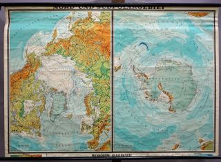
Vintage School Map Rollable Wall Chart North America USA Canada Mexico Greenland


Item History & Price

Information:
Reference Number: Avaluer:34199Original/Reproduction: Original
Country/Region: Greenland
Original Description:
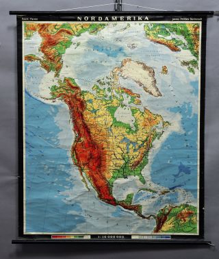
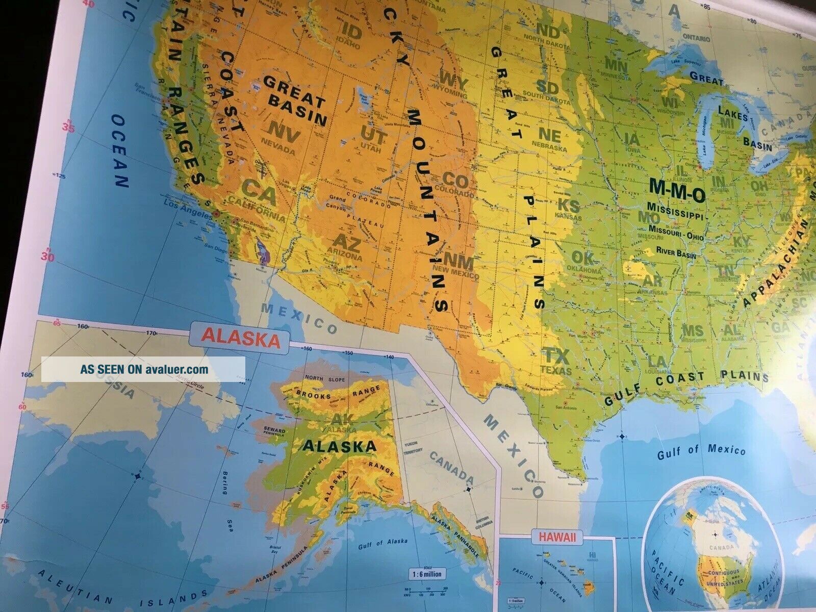
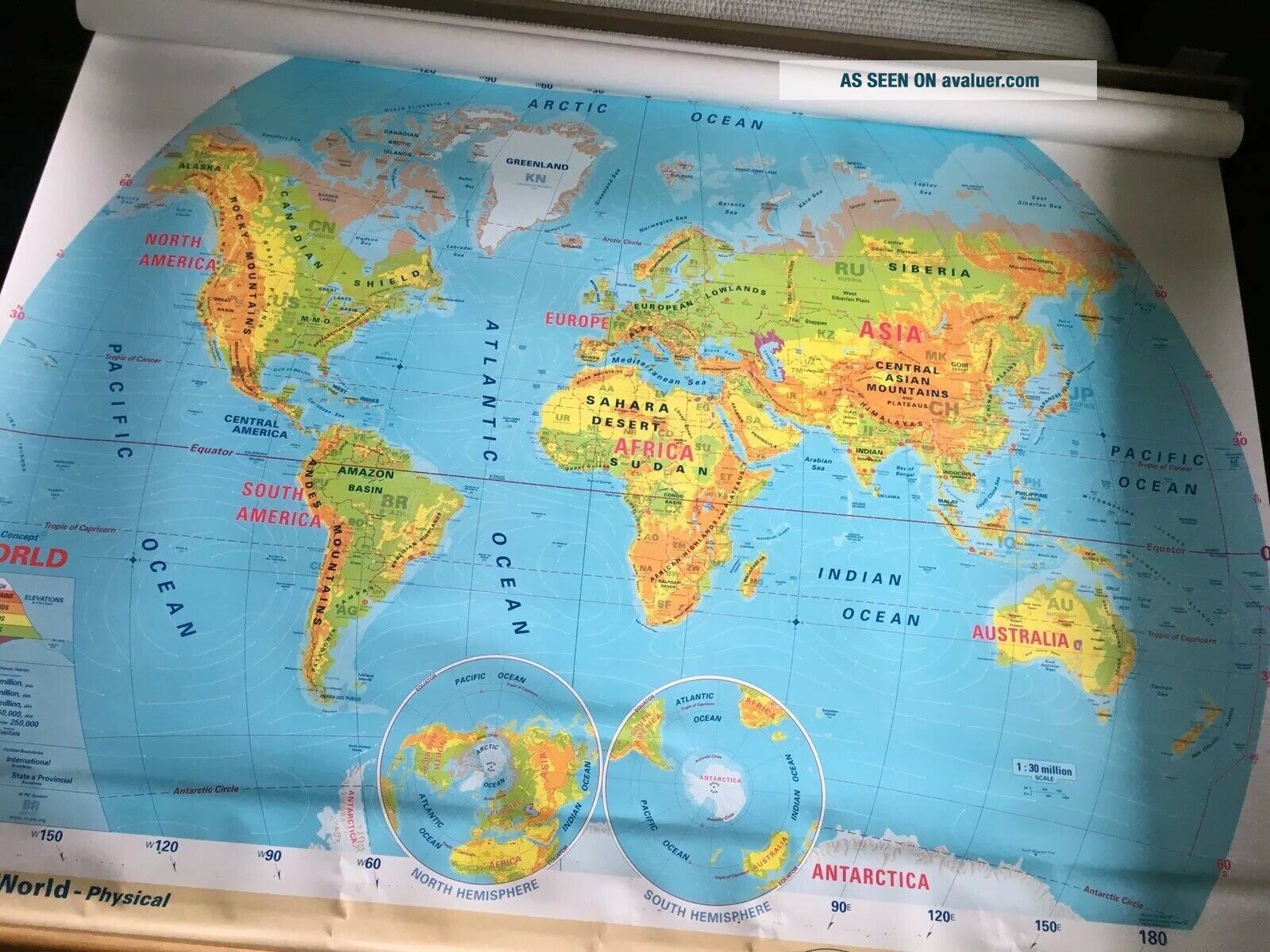
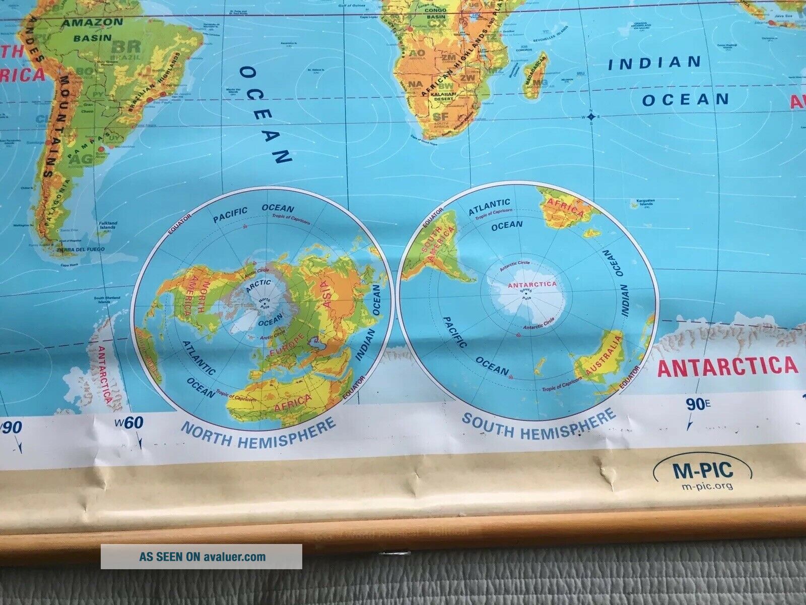
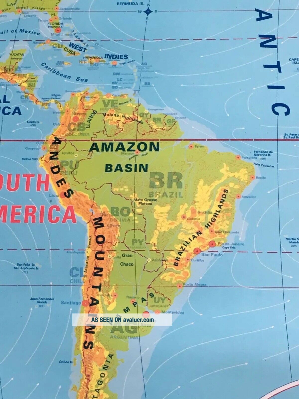
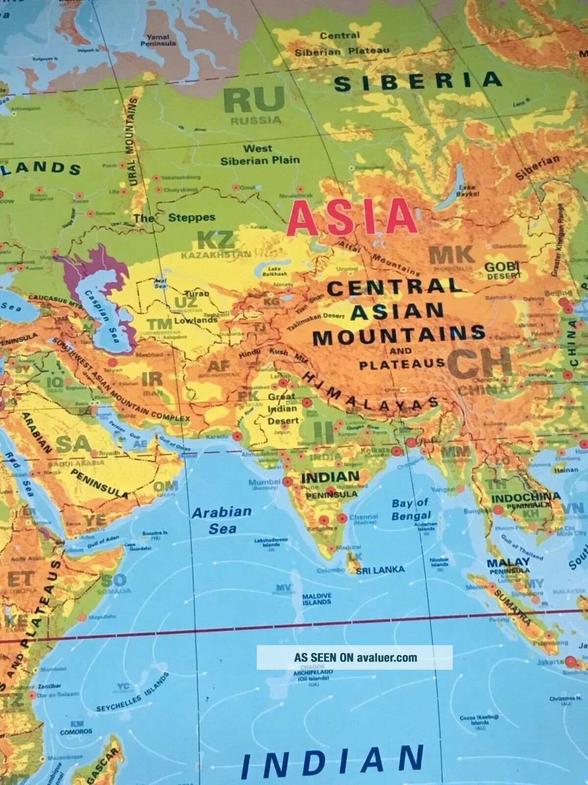
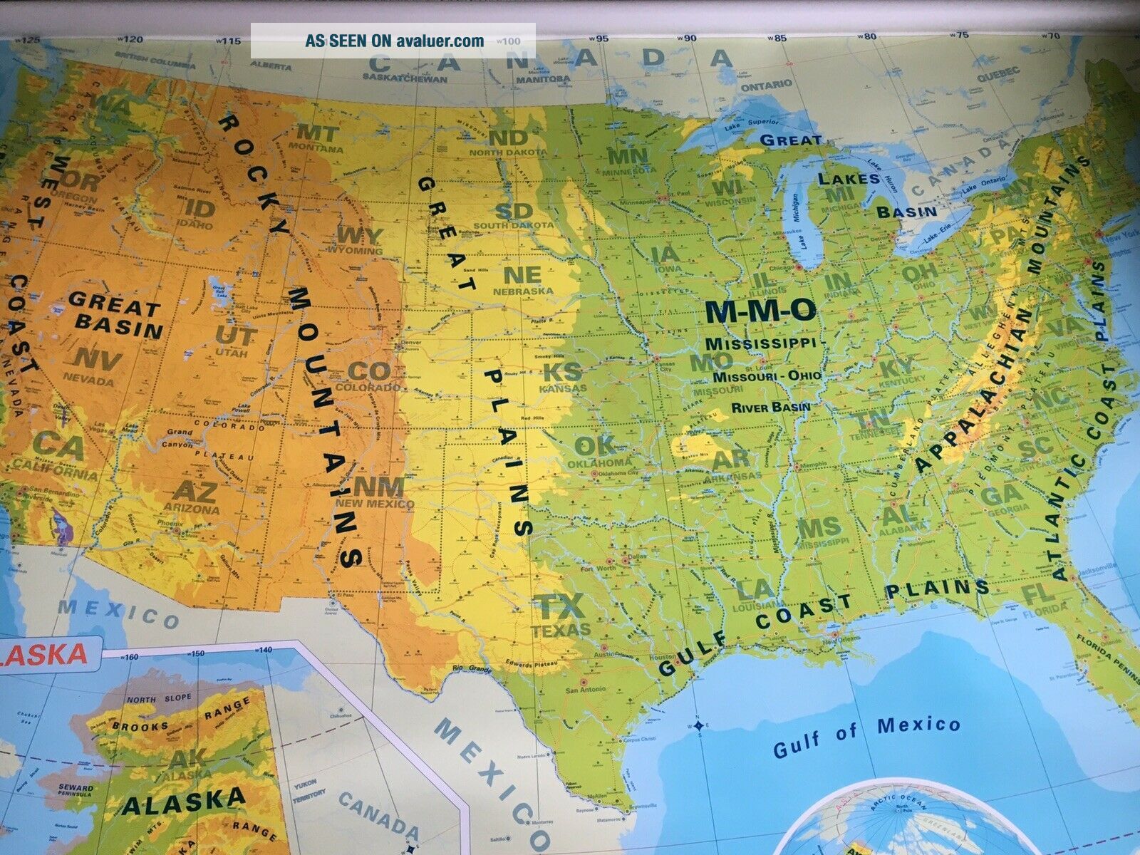
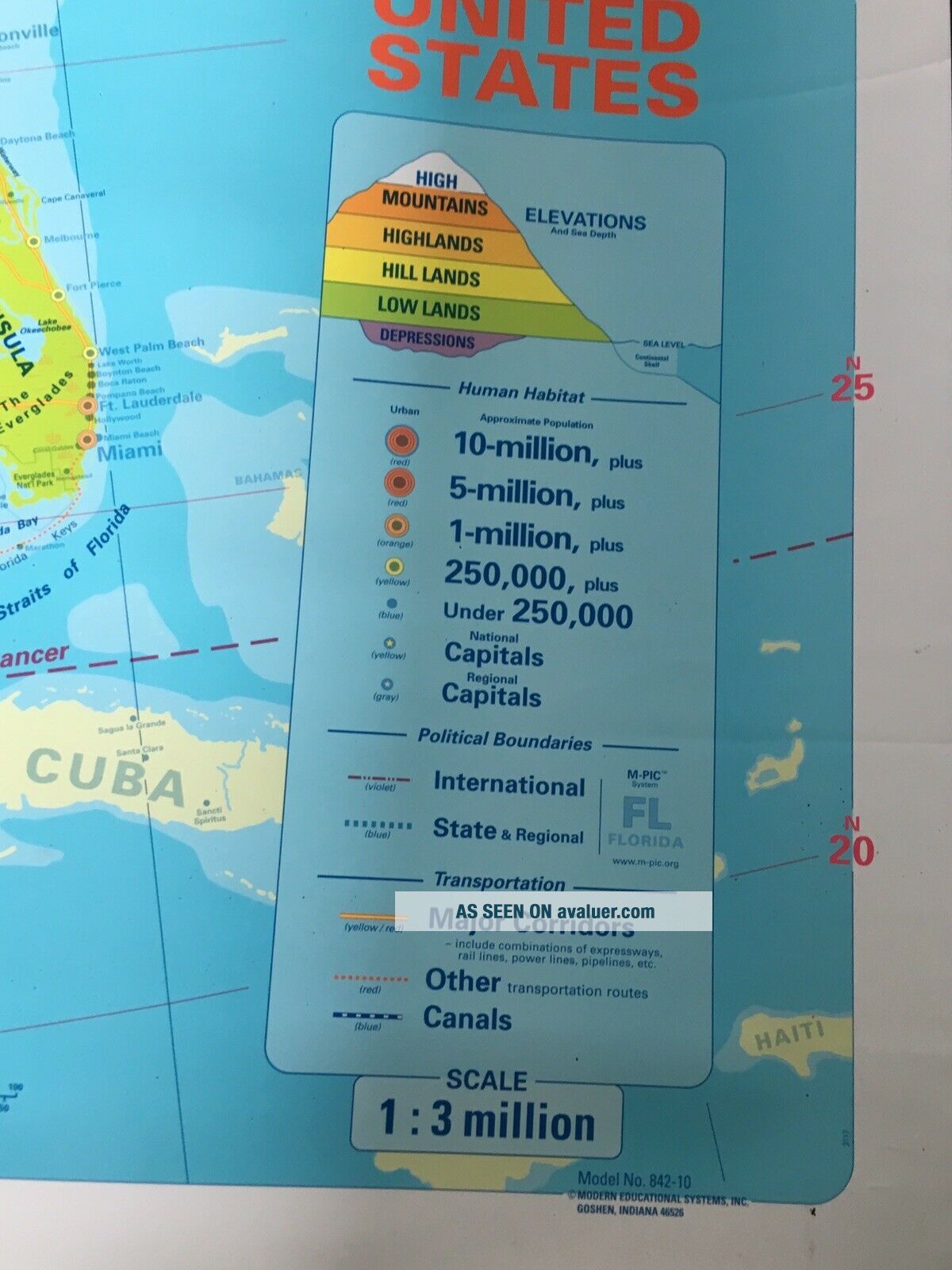
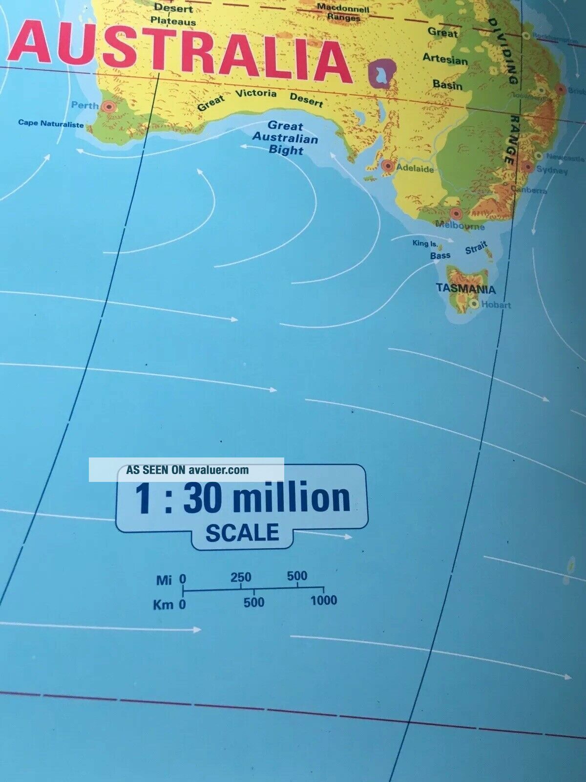
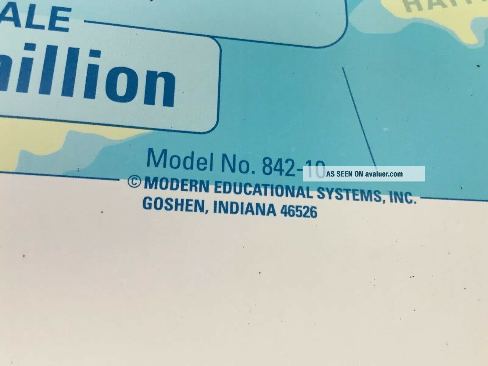
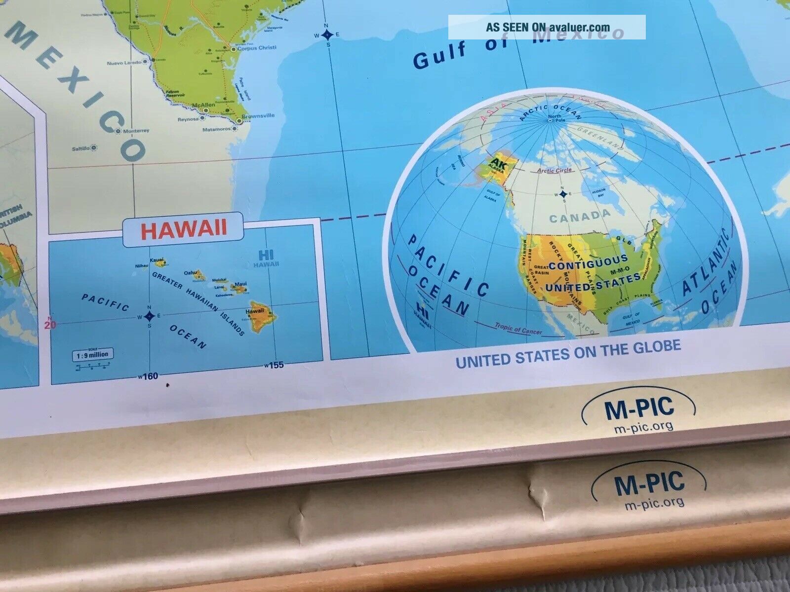
Vintage school map roll able wall chart North America USA Canada Mexico Greenland. Shipped with USPS Priority Mail.  The second map shows the World.  They were marked Model No. 842-10 Modern Educational Systems, Inc. Goshen Indiana 46526.  They appear to be in good condition for being used in the class room.  The Americas Map measures approx. 61 inches wide and 41 inches tall.  The World  Map measures 61 inches wide and 43 inches down.  Please look at... the pictures carefully as part of the description and if you have any questions please ask before bidding.
I try to ship next working day after payment is received.
Thanks for Looking!!!


    Similar items


  • Vintage School Map Rollable Wall Chart Canada Advertising Neilson

    Vintage School Map Rollable Wall Chart Canada Advertising Neilson ' S Chocolate

  • Vintage School Map Rollable Wall Chart Roman Empire Poster Print

    Vintage School Map Rollable Wall Chart Roman Empire Poster Print

  • Rollable Map Vintage Wall Chart North America Usa Canada North Pole Greenland

    Rollable Map Vintage Wall Chart North America Usa Canada North Pole Greenland

  • Vintage 1967 Magnetic Hurricane Tracking Chart North America Man Framed Magnets

    Vintage 1967 Magnetic Hurricane Tracking Chart North America Man Framed Magnets

  • Vintage 1967 Magnetic Hurricane Tracking Chart North America Map Framed C1

    Vintage 1967 Magnetic Hurricane Tracking Chart North America Map Framed C1

  • German School Map Rollable Poster Print Vintage Wall Chart Kids Room Deocration

    German School Map Rollable Poster Print Vintage Wall Chart Kids Room Deocration

  • Vintage Map North Pole South Pole Polar Region Rollable Wall Chart

    Vintage Map North Pole South Pole Polar Region Rollable Wall Chart

  • Vintage Rollable Wall Chart School Map Blueprint Of Brasilia Mural Decoration

    Vintage Rollable Wall Chart School Map Blueprint Of Brasilia Mural Decoration


    • You might also like


    • 1860 Mitchell Hand Colored Map Colorado,  Nebraska & Kansas - Civil War Era

      1860 Mitchell Hand Colored Map Colorado, Nebraska & Kansas - Civil War Era

    • 18th Century French Map Of North America

      18th Century French Map Of North America

    • Las Vegas Nevada Vintage 1967 Us Geological Survey Quadrangle Map 4 Panels

      Las Vegas Nevada Vintage 1967 Us Geological Survey Quadrangle Map 4 Panels

    • Rare Antique 1845 Maps United States Exploring Expedition Book Antartica Hawaii

      Rare Antique 1845 Maps United States Exploring Expedition Book Antartica Hawaii

    • Vintage 1926 Map Hollywood From The Best Surveys Of The Time

      Vintage 1926 Map Hollywood From The Best Surveys Of The Time

    • American Continent (western Hemisphere) 1747 Bowen Antique Copper Engraved Map

      American Continent (western Hemisphere) 1747 Bowen Antique Copper Engraved Map

    • Gulf Coast Florida Texas United States 1705 De Fer Unusual Antique Engraved Map

      Gulf Coast Florida Texas United States 1705 De Fer Unusual Antique Engraved Map

    • California As Island United States 1700 De Fer Unusual First Edition Antique Map

      California As Island United States 1700 De Fer Unusual First Edition Antique Map

Avaluer          About Us          Privacy Policy          Contact Us          UP
© 2022, avaluer.net, Inc. or its affiliates