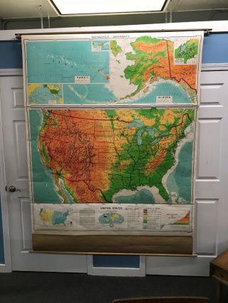
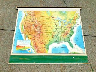
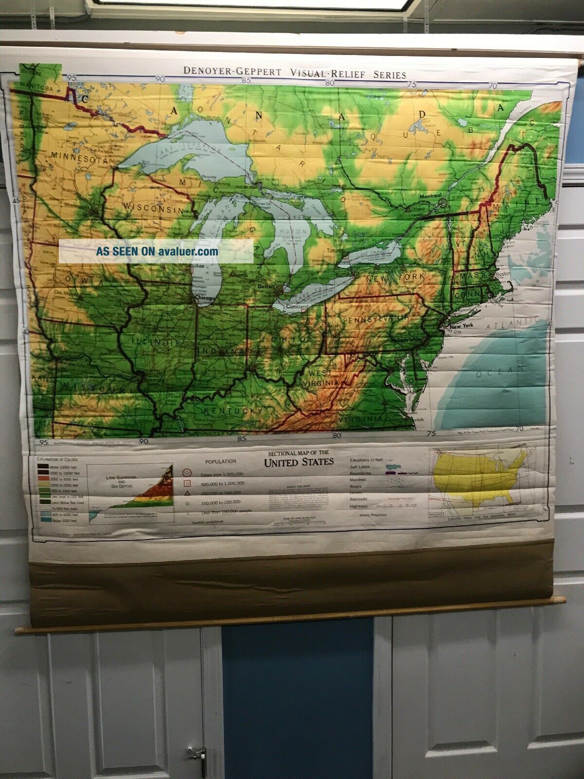
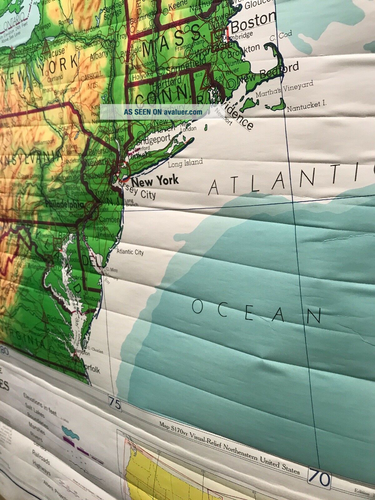
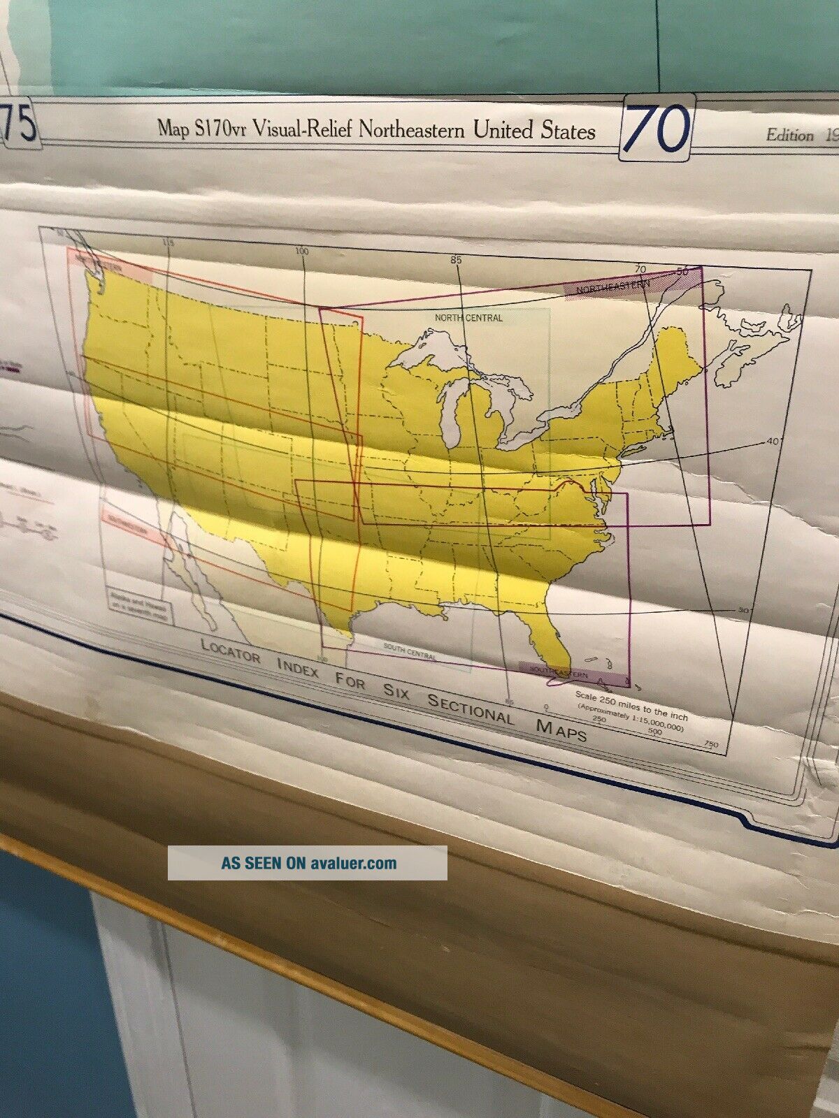
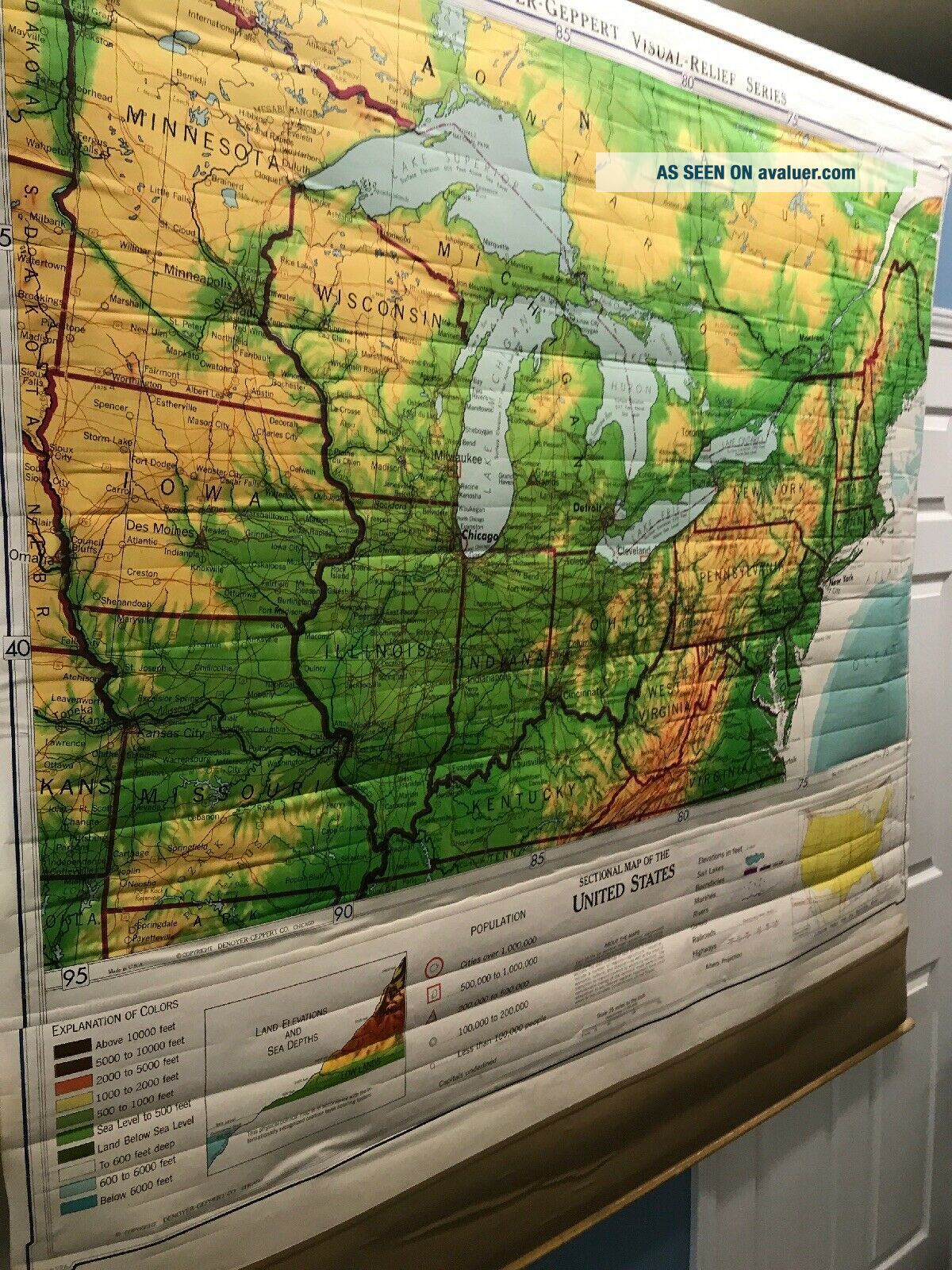
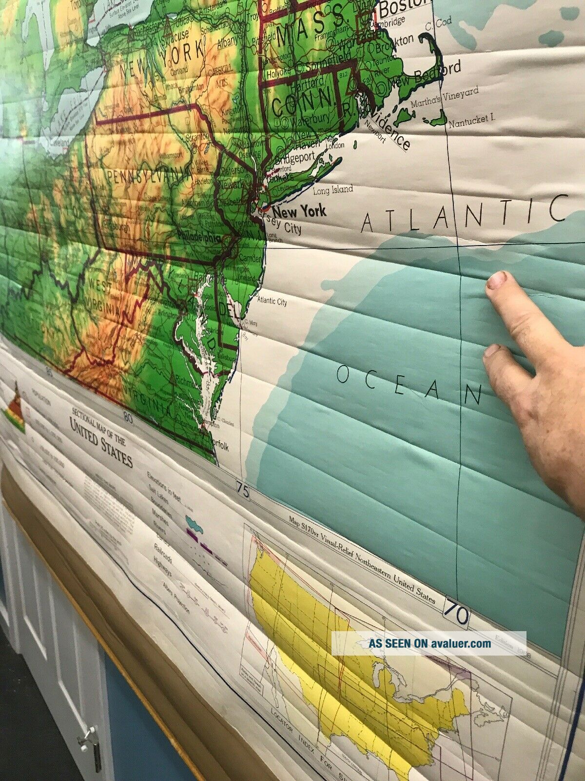
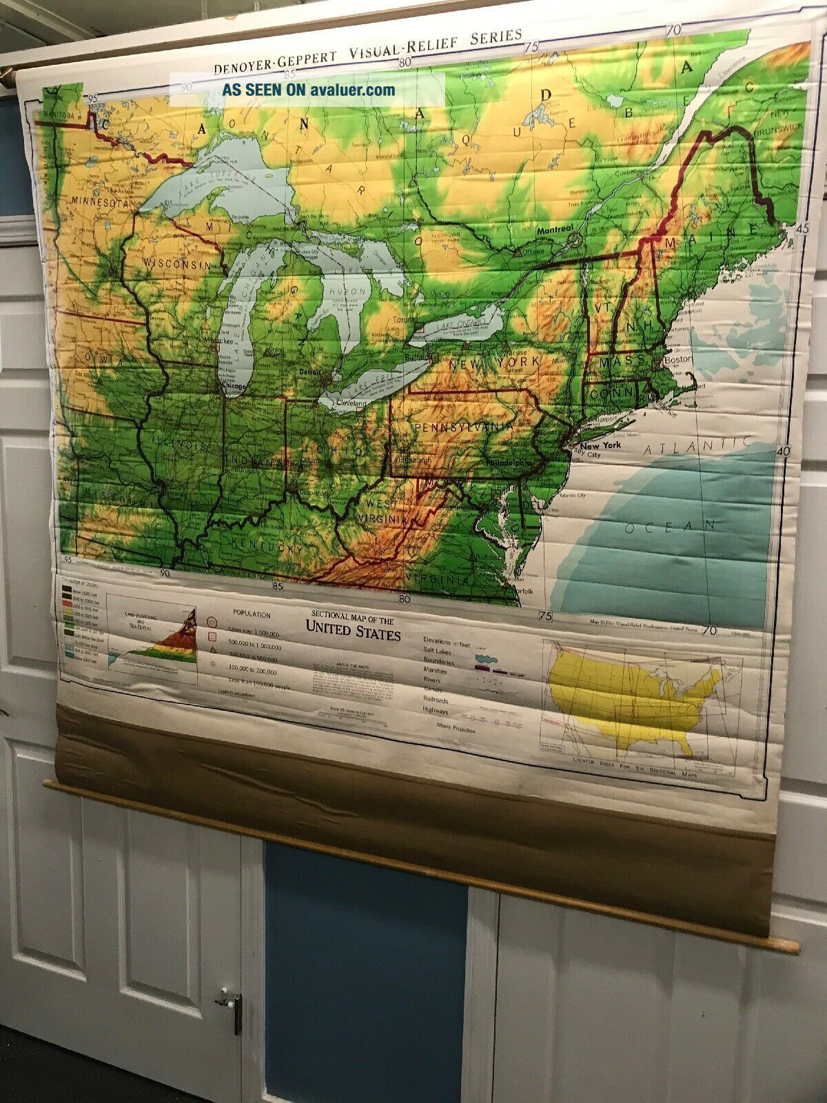
Rare Vintage Northeast United Stated Wall School Map Denoyer Geppert Retractable


Item History & Price

Information:
Reference Number: Avaluer:34439Format: School Map
Type: Pull down mapCartographer/Publisher: Denoyer-Geppert
Original/Reproduction: Original
Original Description:
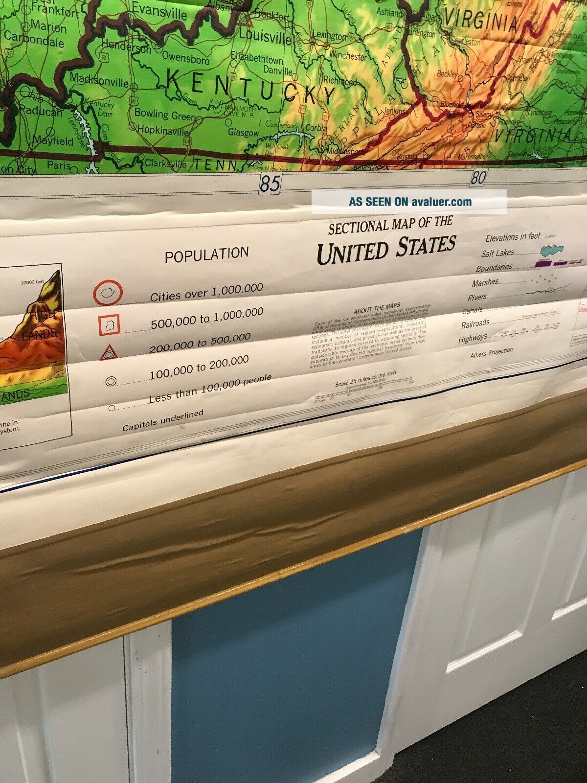
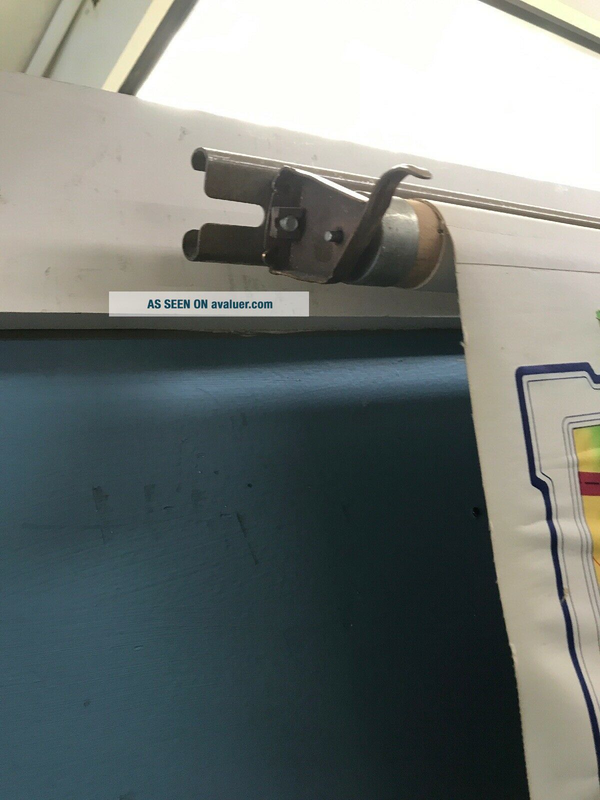
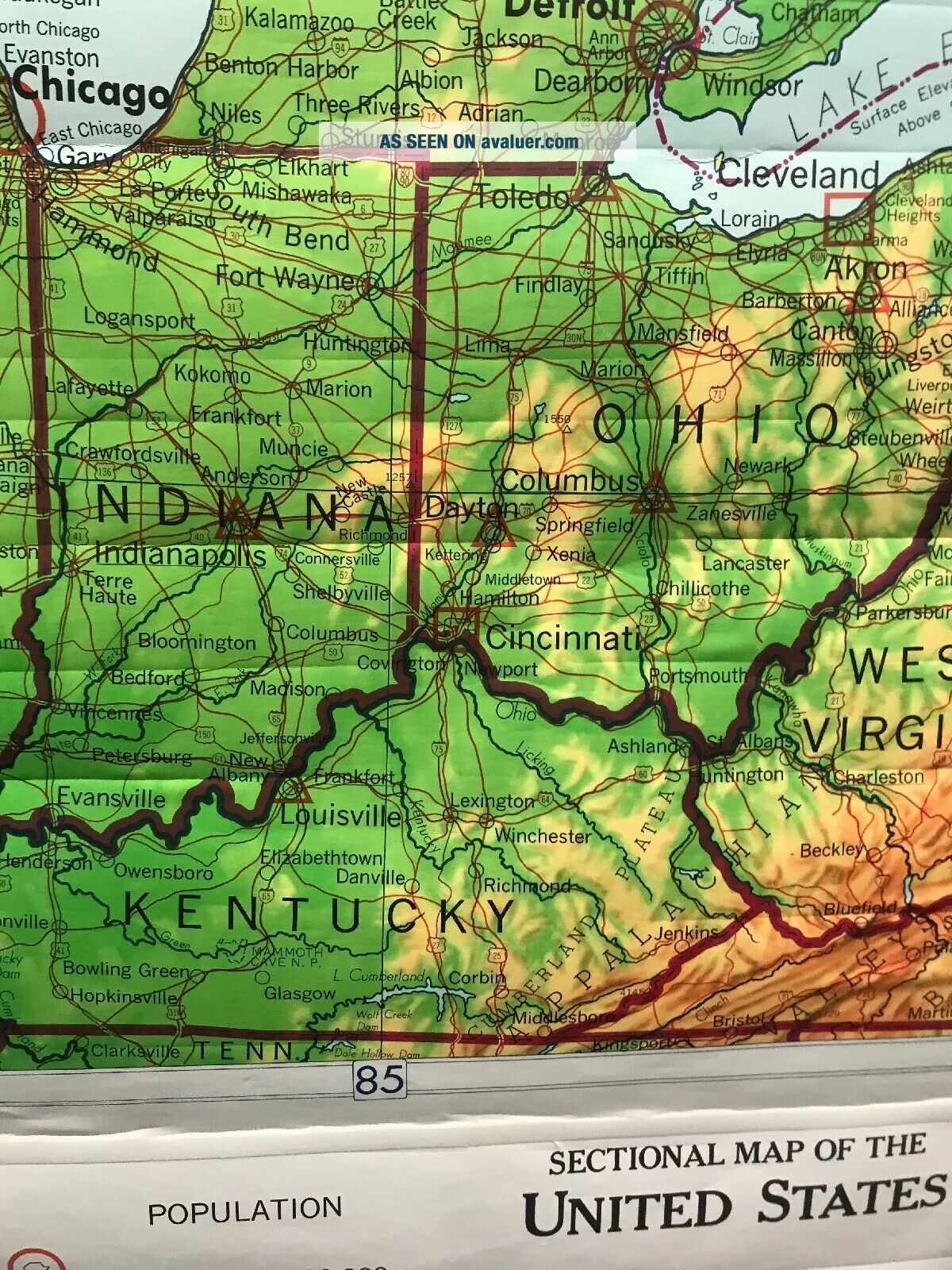
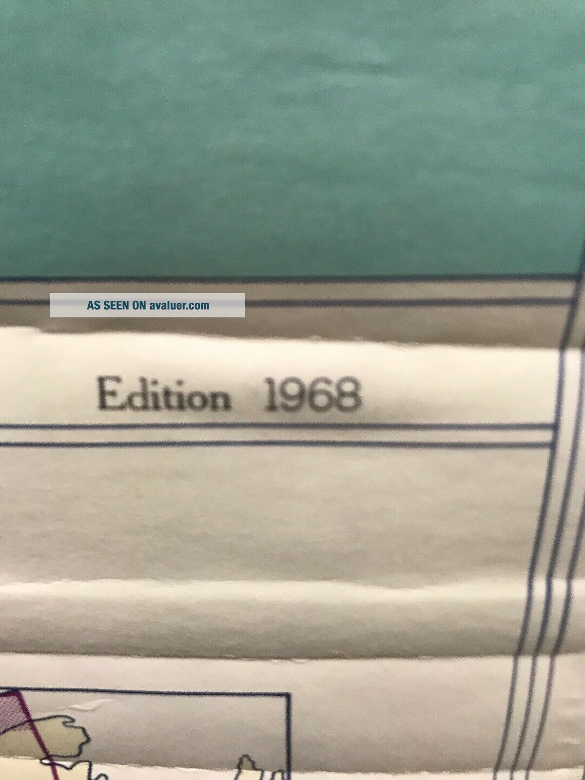
Very good condition with some folding lines shown in pictures Great colorGreat vintage map 1968Northeast United States64” w x 64” lMakes a great piece for den, man cave, family room, office, lobby.Retracts up and down as designedcheck out some of our other maps on Instagram @mapsfordesignSee pictures send question


    Similar items


  • Rare Vintage United Stated Wall School Map Alaska Denoyer Geppert Retractable

    Rare Vintage United Stated Wall School Map Alaska Denoyer Geppert Retractable

  • Rare Vintage Rand Mcnally Pull Down School Map Of United States Of America

    Rare Vintage Rand Mcnally Pull Down School Map Of United States Of America

  • Rare Vintage 1969 United States County Map Virgin Isalands / Puerto Rico Usa Us

    Rare Vintage 1969 United States County Map Virgin Isalands / Puerto Rico Usa Us

  • Rare Vintage 3d United States Coast To Coast Detailed Rand Mcnally Map 35x23

    Rare Vintage 3d United States Coast To Coast Detailed Rand Mcnally Map 35x23

  • Vintage 1861 United States & Western Territories Map Old Antique Map

    Vintage 1861 United States & Western Territories Map Old Antique Map

  • Vintage 1861 United States Western Territories Map Antique Atlas Map

    Vintage 1861 United States Western Territories Map Antique Atlas Map

  • Vintage 1860 United States Southwest Territories Map Old Antique 101118

    Vintage 1860 United States Southwest Territories Map Old Antique 101118

  • Rare Vintage Antique United State Us Navy Military Wooden Ballot Suggestion Box

    Rare Vintage Antique United State Us Navy Military Wooden Ballot Suggestion Box


    • You might also like


    • 1860 Mitchell Hand Colored Map Colorado,  Nebraska & Kansas - Civil War Era

      1860 Mitchell Hand Colored Map Colorado, Nebraska & Kansas - Civil War Era

    • 18th Century French Map Of North America

      18th Century French Map Of North America

    • Las Vegas Nevada Vintage 1967 Us Geological Survey Quadrangle Map 4 Panels

      Las Vegas Nevada Vintage 1967 Us Geological Survey Quadrangle Map 4 Panels

    • Rare Antique 1845 Maps United States Exploring Expedition Book Antartica Hawaii

      Rare Antique 1845 Maps United States Exploring Expedition Book Antartica Hawaii

    • Vintage 1926 Map Hollywood From The Best Surveys Of The Time

      Vintage 1926 Map Hollywood From The Best Surveys Of The Time

    • American Continent (western Hemisphere) 1747 Bowen Antique Copper Engraved Map

      American Continent (western Hemisphere) 1747 Bowen Antique Copper Engraved Map

    • Gulf Coast Florida Texas United States 1705 De Fer Unusual Antique Engraved Map

      Gulf Coast Florida Texas United States 1705 De Fer Unusual Antique Engraved Map

    • California As Island United States 1700 De Fer Unusual First Edition Antique Map

      California As Island United States 1700 De Fer Unusual First Edition Antique Map

Avaluer          About Us          Privacy Policy          Contact Us          UP
© 2022, avaluer.net, Inc. or its affiliates