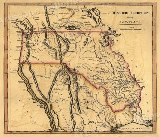
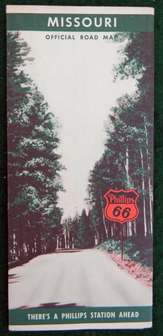
1834 Ezra Strong US Missouri Territory Map Vintage Antique Cloth Backed Wall OLD


Item History & Price
| Reference Number: Avaluer:35972 | Original/Reproduction: Antique Original |
| Material: Cloth backed | Format: Wall Map |
| Topic: Maps | Year: 1834 |
| Features: Antique,Vintage | US State: Missouri |
For auction is an 1834 Ezra Strong US Missouri Territory Map Vintage Antique Cloth Backed Wall OLD. Photos of actual items.
Stop back and check out the other goodies!
Local pick-up in Phoenixville always available.All items were donated to our local historical society. These sales help us add artifacts to our collections. We are happy to combine purchases. We charge actual shipping based on weight of total items purchased. ...Local pick-up at the Society is always available to save shipping costs. Just let us know when you win!Thanks for your bids. We do not end auctions early or sell off Ebay. Save us both time don't ask. Thanks!
00083