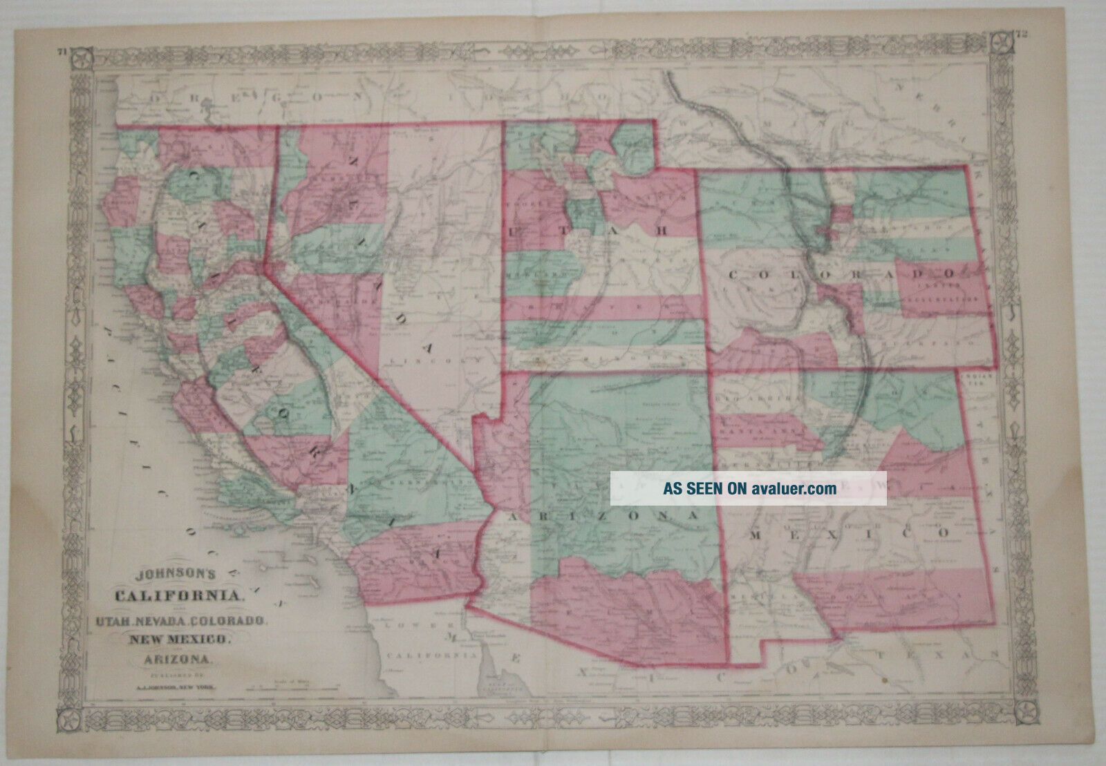
1869 Western US - Johnson ' S Atlas 26 " X 18 " - California - Antique


Item History & Price

Information:
Reference Number: Avaluer:36358Cartographer/Publisher: Johnson's Atlas
Country/Region: American States & TerritoriesOriginal/Reproduction: Antique Original
Publication Year: 1869Format: Atlas Map
Diameter (Inches): 26in.Type: 1869 Atlas Map
Subject: WesternsYear: 1869
Topic: AtlasesUS State: AZ, CA, CO, NM, NV, UT
Features: AntiqueDate Range: 1800-1899
Original Description:
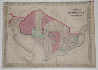
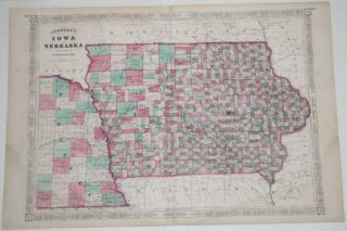
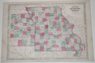
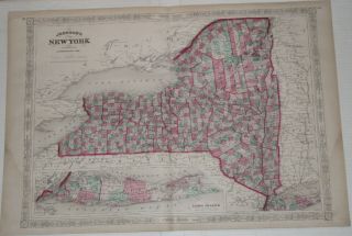
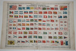
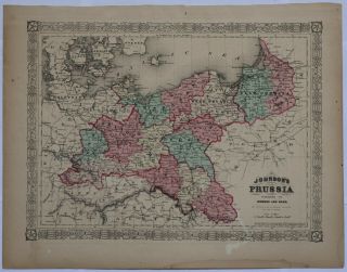
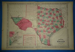
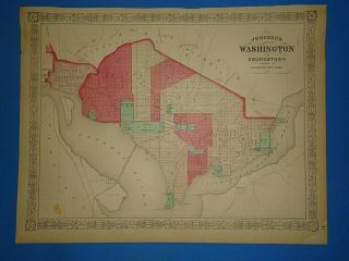
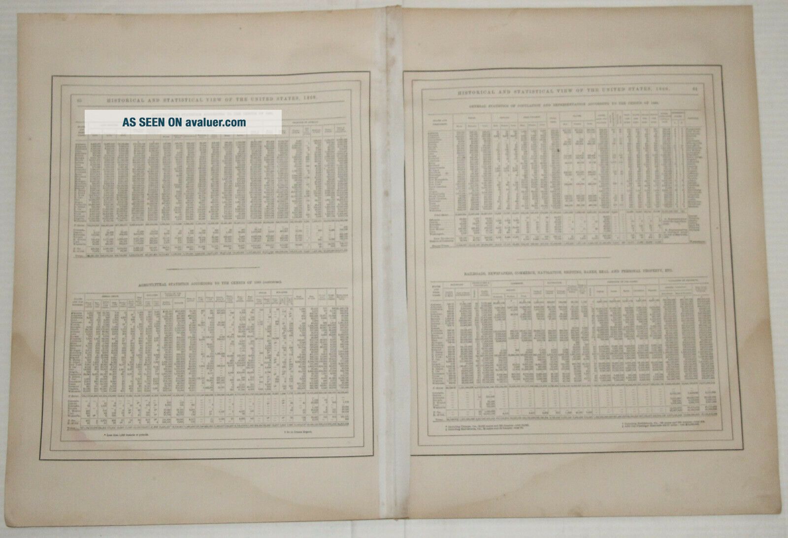
Offered for your consideration is an Original 150 Year Old -1869 Antique Atlas Map.
This Map was removed form an 1869 Atlas and is in very good condition. 
This map was harvested from an antique atlas book that was in poor and unusable condition.

This fine Western map is in excellent condition with very minimal wear you would typically see on a map of this age.

The page is approx 18" x 26". This map is taken from an 1869 Johnson's atlas.

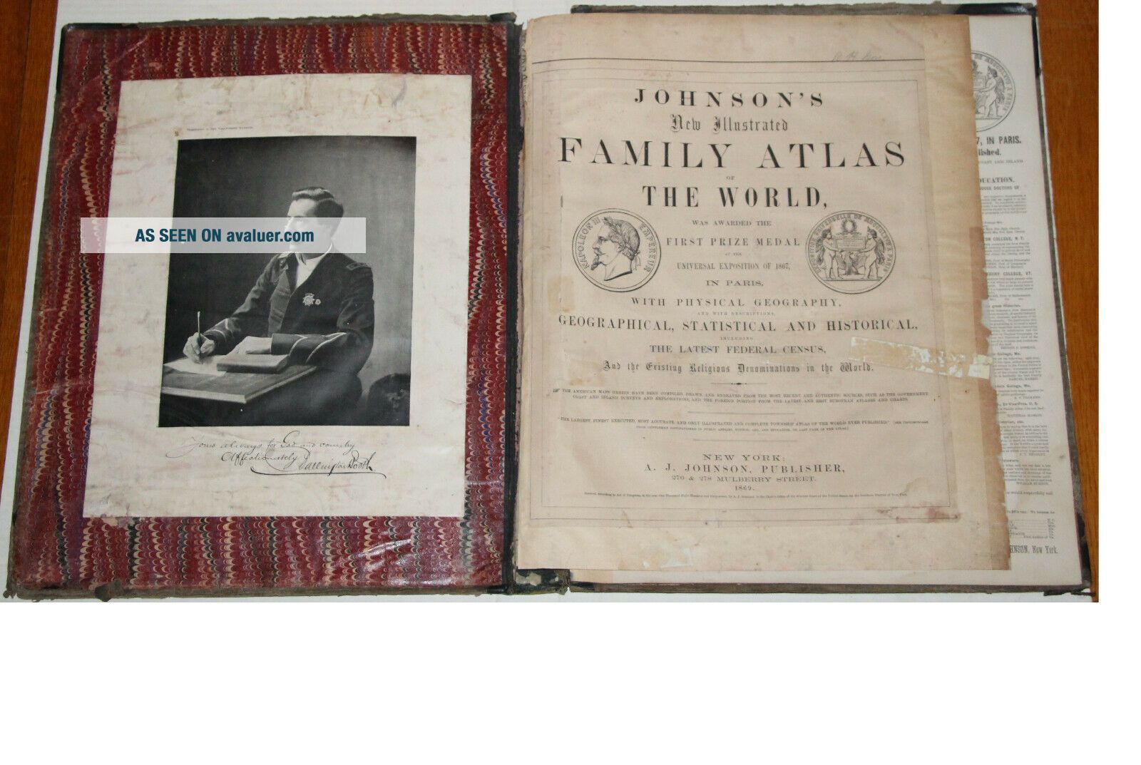
The book & ...title page are not included but only used as a verification reference.
Ships free!


    Similar items


  • 1869 Washington Georgetown D.  C.  Map,  Us Johnson

    1869 Washington Georgetown D. C. Map, Us Johnson ' S Atlas 18x13 - Antique

  • 1869 Nebraska,  Iowa Us Johnson

    1869 Nebraska, Iowa Us Johnson ' S Atlas 26 " X 18 " - Huge Map - Antique

  • 1869 Missouri,  Ks Us Johnson

    1869 Missouri, Ks Us Johnson ' S Atlas 26 " X 18 " - Huge Map - Antique

  • 1869 York Map - Johnson

    1869 York Map - Johnson ' S Atlas 26 " X 18 " Huge Map Great - Antique

  • 1869 National Emblems - Johnson

    1869 National Emblems - Johnson ' S Atlas 26 " X 18 " Huge - Antique

  • 1869 Prussia Map - Johnson

    1869 Prussia Map - Johnson ' S Atlas 18 " X 13 " - Antique

  • Vintage 1869 Texas Map Old Antique Johnson

    Vintage 1869 Texas Map Old Antique Johnson ' S Atlas

  • Vintage 1869 Washington Dc Map Old Antique Johnson

    Vintage 1869 Washington Dc Map Old Antique Johnson ' S Atlas Map


    • You might also like


    • 1860 Mitchell Hand Colored Map Colorado,  Nebraska & Kansas - Civil War Era

      1860 Mitchell Hand Colored Map Colorado, Nebraska & Kansas - Civil War Era

    • 18th Century French Map Of North America

      18th Century French Map Of North America

    • Las Vegas Nevada Vintage 1967 Us Geological Survey Quadrangle Map 4 Panels

      Las Vegas Nevada Vintage 1967 Us Geological Survey Quadrangle Map 4 Panels

    • Rare Antique 1845 Maps United States Exploring Expedition Book Antartica Hawaii

      Rare Antique 1845 Maps United States Exploring Expedition Book Antartica Hawaii

    • Vintage 1926 Map Hollywood From The Best Surveys Of The Time

      Vintage 1926 Map Hollywood From The Best Surveys Of The Time

    • American Continent (western Hemisphere) 1747 Bowen Antique Copper Engraved Map

      American Continent (western Hemisphere) 1747 Bowen Antique Copper Engraved Map

    • Gulf Coast Florida Texas United States 1705 De Fer Unusual Antique Engraved Map

      Gulf Coast Florida Texas United States 1705 De Fer Unusual Antique Engraved Map

    • California As Island United States 1700 De Fer Unusual First Edition Antique Map

      California As Island United States 1700 De Fer Unusual First Edition Antique Map

Avaluer          About Us          Privacy Policy          Contact Us          UP
© 2022, avaluer.net, Inc. or its affiliates