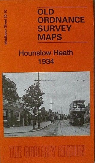
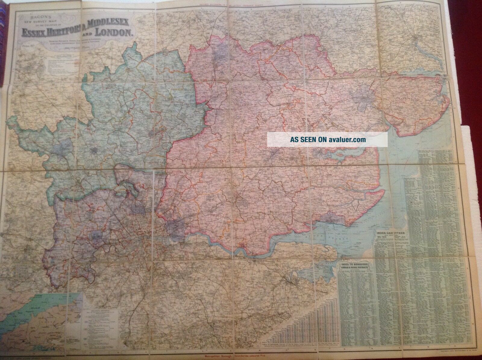
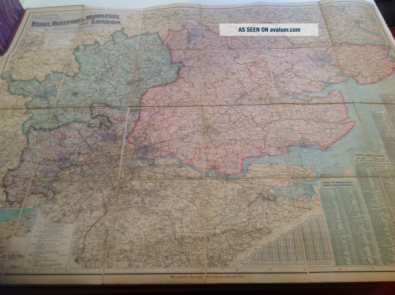
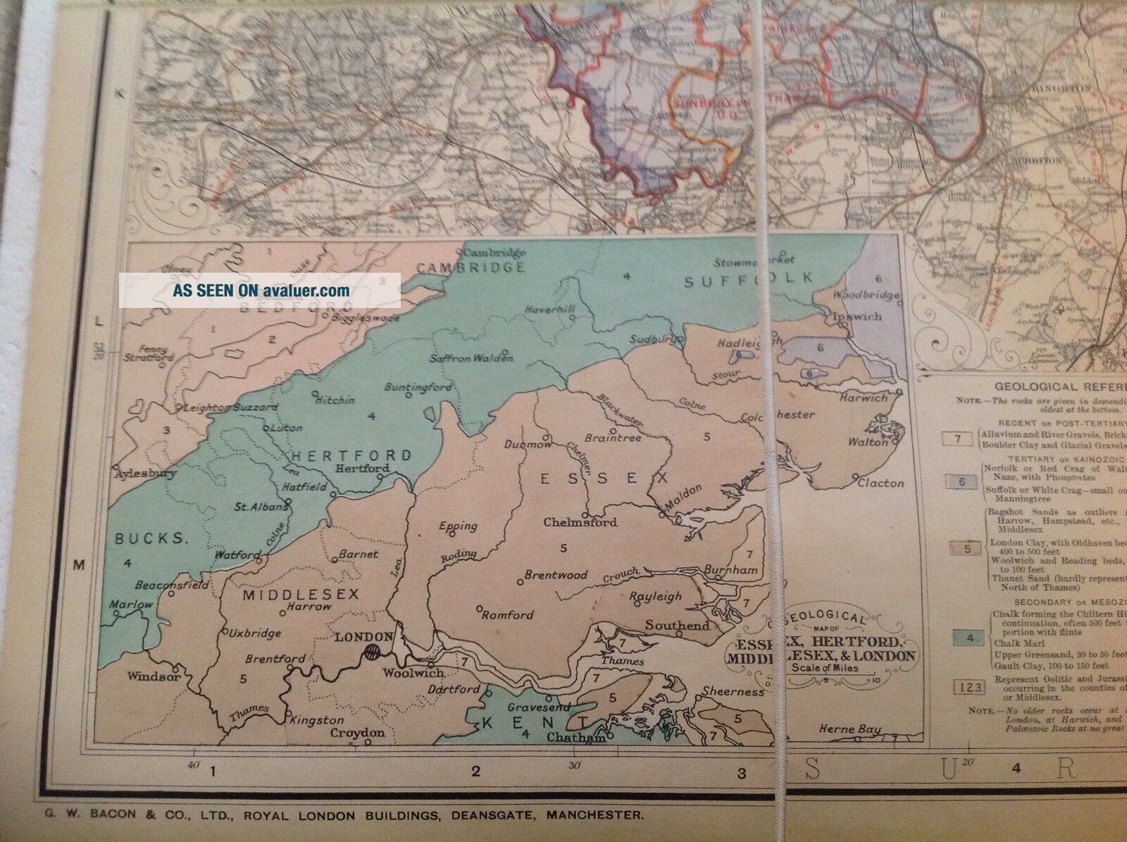
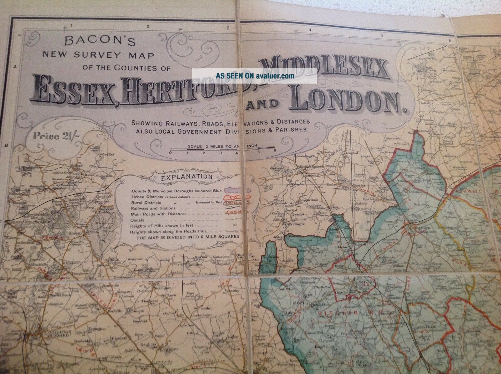
OLD LARGE BACONS SURVEY MAP ESSEX HEREFORD MIDDLESEX LONDON LINEN


Item History & Price

Information:
Reference Number: Avaluer:3660742
Original Description:


ALTHOUGH ITEM HAS  BEEN PRE-OWNED AND MAY SHOW SLIGHT AGE RELATED WEAR ,
NO DATE, PRICE IS 21/-
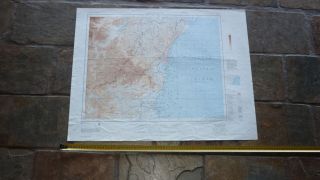
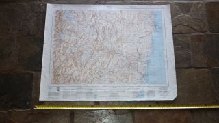
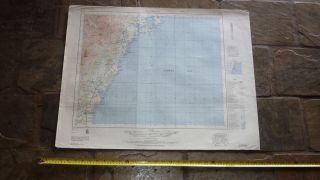
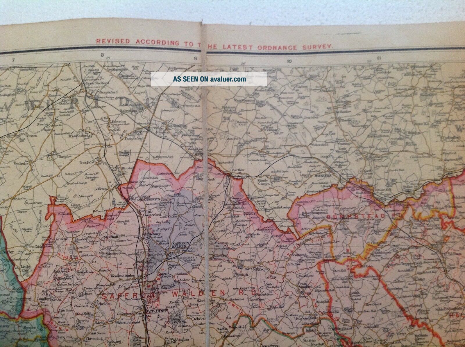
IN GOOD CONDITION, THERE ARE NO TEARS, LINEN MAP, COUPLE FAINT MARKS ON BACK OF LINEN, HB COVER OF BOOK IS WORN  MEASURES 45 x 36 INCHES
PLEASE SEE PHOTO'S FOR MORE DETAILS IF YOU ARE ANYWAY UNHAPPY WITH THE CONDITION OR DESCRIPTION OF THE ITEMI WILL OFFER A FULL REFUND.
ITEM WILL BE SENT BY MY HERMES COURIER SIGNED AND TRACKED FOR SAFE DELIVERY
AS SOO...N AS PAYMENT IS RECEIVED THE ITEM IS POSTED NEXT WORKING DAY
POSTAGE DISCOUNT OFFERED ON MORE THAN ONE PURCHASE  OVERSEAS BUYERS PLEASE BE AWARE THERE MAY BE AN IMPORT CHARGE WHEN USING EBAY GLOBAL SHIPPING PROGRAMME SO PLEASE CHECK BEFORE BUYING


    Similar items


  • Old Ordnance Survey Maps Enfield Lock Middlesex 1895 Godfrey Edition

    Old Ordnance Survey Maps Enfield Lock Middlesex 1895 Godfrey Edition

  • Old Ordnance Survey Maps Wembley Park Middlesex 1896 Godfrey Edition

    Old Ordnance Survey Maps Wembley Park Middlesex 1896 Godfrey Edition

  • Old Ordnance Survey Maps Hillingdon North Middlesex 1894 Godfrey Edition

    Old Ordnance Survey Maps Hillingdon North Middlesex 1894 Godfrey Edition

  • Old Ordnance Survey Maps Ashford North Middlesex 1934 Godfrey Edition

    Old Ordnance Survey Maps Ashford North Middlesex 1934 Godfrey Edition

  • Old Ordnance Survey Maps Hounslow Heath Middlesex 1934 Godfrey Edition

    Old Ordnance Survey Maps Hounslow Heath Middlesex 1934 Godfrey Edition

  • 1960s Old Large Australian Survey Wall Map Of Wollongong South Wales

    1960s Old Large Australian Survey Wall Map Of Wollongong South Wales

  • 1960s Old Large Australian Survey Wall Map Of Bega Region South Wales

    1960s Old Large Australian Survey Wall Map Of Bega Region South Wales

  • 1960s Old Large Australian Survey Wall Map Of Ulladulla Region South Wales

    1960s Old Large Australian Survey Wall Map Of Ulladulla Region South Wales


    • You might also like


    • Hungary & Romania 1579 (1584) Ortelius Unusual Antique Copper Engraved Map

      Hungary & Romania 1579 (1584) Ortelius Unusual Antique Copper Engraved Map

    • Brussels Bruxelles Belfium 1777 De Ferraris & Dupuis Large Antique Map Sheet Xxi

      Brussels Bruxelles Belfium 1777 De Ferraris & Dupuis Large Antique Map Sheet Xxi

    • 1616 Atlas Map Of Iceland.

      1616 Atlas Map Of Iceland.

    • Kazan Russia 1767 Le Clerc/lespinasse Antique Copper Engraved City View

      Kazan Russia 1767 Le Clerc/lespinasse Antique Copper Engraved City View

    • 1899 Stanford,  Folding Map Of Norwich,  Norfolk,  Arthur Collins,  Jarrold & Sons,

      1899 Stanford, Folding Map Of Norwich, Norfolk, Arthur Collins, Jarrold & Sons,

    • 1948 Vintage Linen Colour Map Geological Survey Ten Mile Of Great Britain

      1948 Vintage Linen Colour Map Geological Survey Ten Mile Of Great Britain

    • 1944 Map Flying Bombs Sussex Ww2 Newspaper Military Kent Courier German V1 V2

      1944 Map Flying Bombs Sussex Ww2 Newspaper Military Kent Courier German V1 V2

    • Dated 1638 Vellum Map Of Icklesham Sussex Showing Land Uses Owners Etc

      Dated 1638 Vellum Map Of Icklesham Sussex Showing Land Uses Owners Etc

Avaluer          About Us          Privacy Policy          Contact Us          UP
© 2022, avaluer.net, Inc. or its affiliates