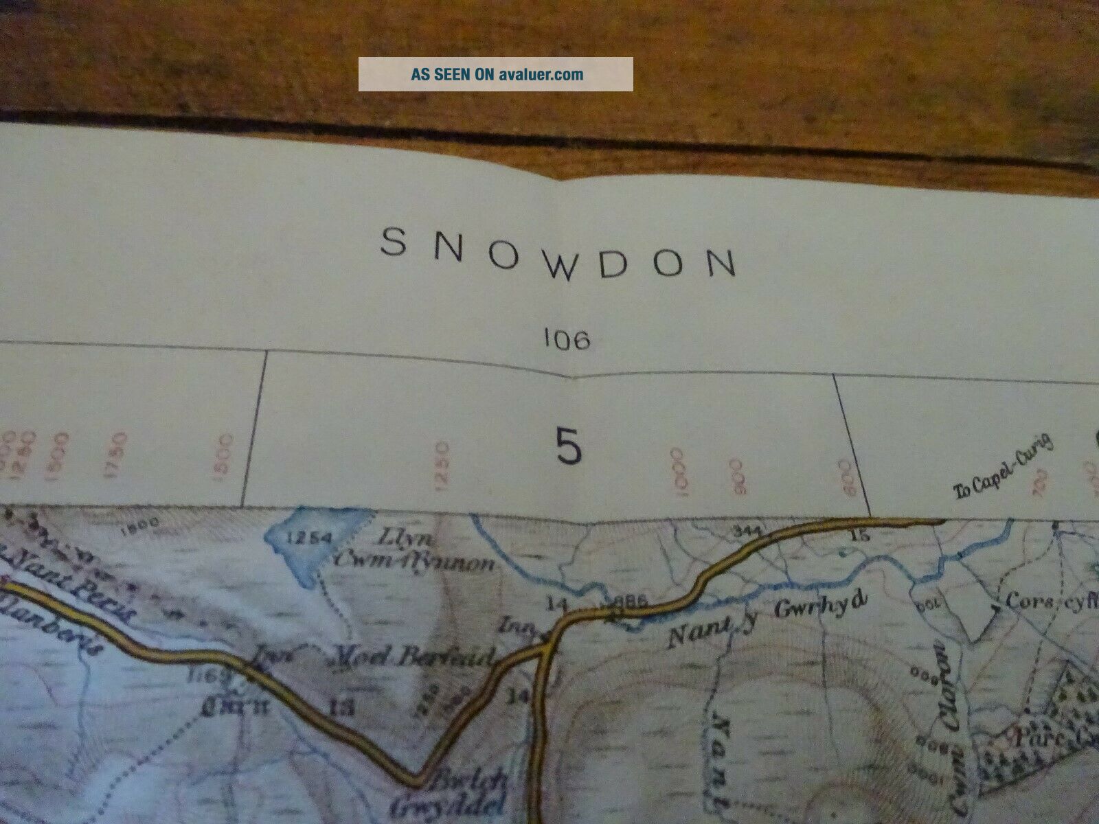
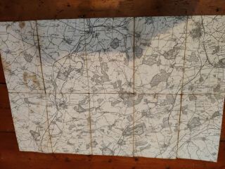
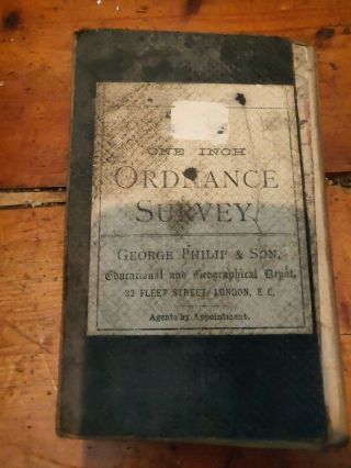
Antique Edwardian Ordnance Survey Map Of Snowdon


Item History & Price
| Reference Number: Avaluer:3705989 |
Antique paper OS map with quite a bit of wear.
I combine postage.
I combine postage.

| Reference Number: Avaluer:3705989 |
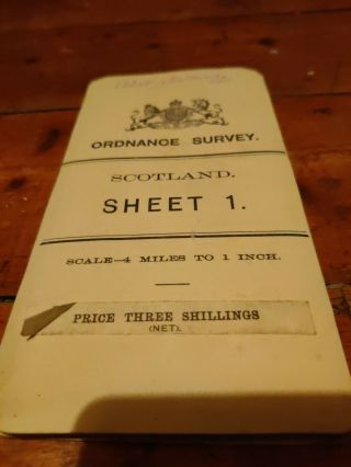
Antique Edwardian Ordnance Survey Map Of Shetland Islands Sheet 1 Scotland 1903
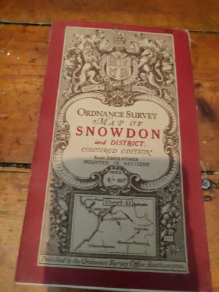
Vintage Cloth Ordnance Survey Map Of Snowdon
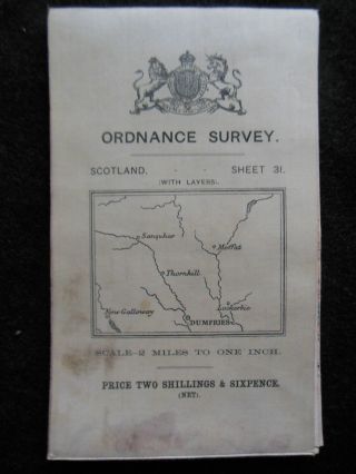
Edwardian Ordnance Survey Map Of Dumfries, Moffat - 1910 - Sheet 31, Scotland
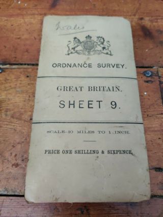
Antique Cloth Ordnance Survey Map Of Wales
Antique Cloth Ordnance Survey Map Of Oundle
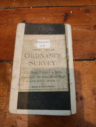
Antique Cloth Ordnance Survey Map Of Birmingham
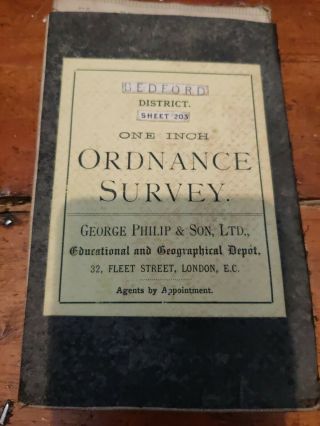
Antique Cloth Ordnance Survey Map Of Bedford George Philip & Son
Antique Cloth Ordnance Survey Map Of Coventry Area George Philip & Son

Hungary & Romania 1579 (1584) Ortelius Unusual Antique Copper Engraved Map

Brussels Bruxelles Belfium 1777 De Ferraris & Dupuis Large Antique Map Sheet Xxi

1616 Atlas Map Of Iceland.

Kazan Russia 1767 Le Clerc/lespinasse Antique Copper Engraved City View

1899 Stanford, Folding Map Of Norwich, Norfolk, Arthur Collins, Jarrold & Sons,

1948 Vintage Linen Colour Map Geological Survey Ten Mile Of Great Britain

1944 Map Flying Bombs Sussex Ww2 Newspaper Military Kent Courier German V1 V2

Dated 1638 Vellum Map Of Icklesham Sussex Showing Land Uses Owners Etc