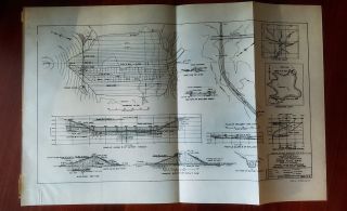
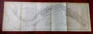
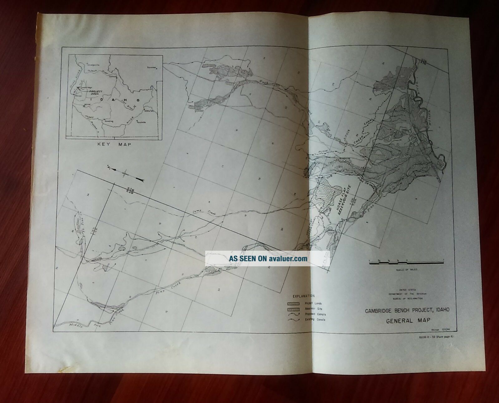
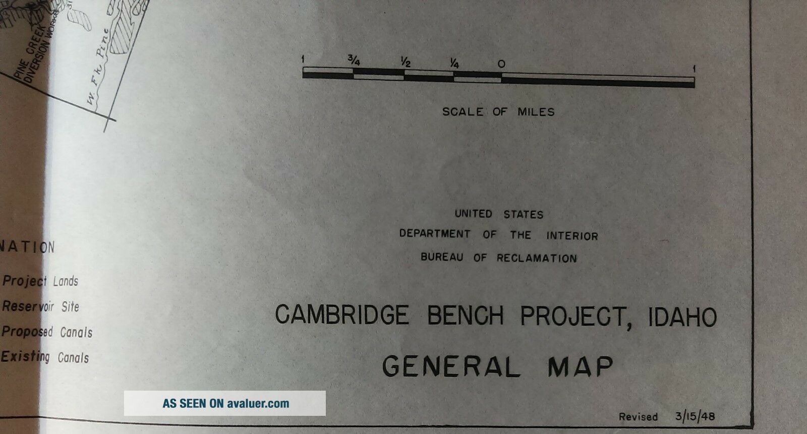
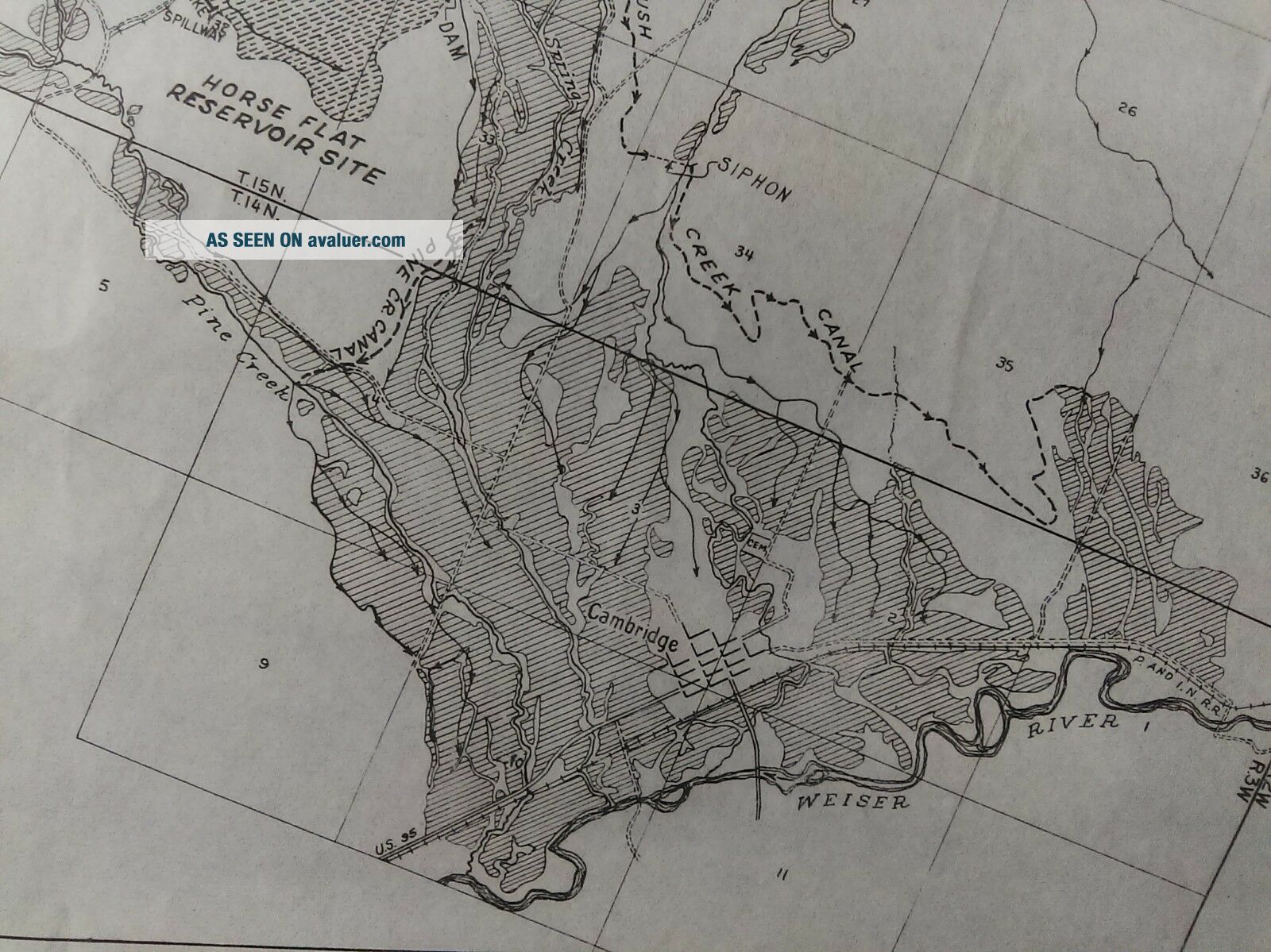
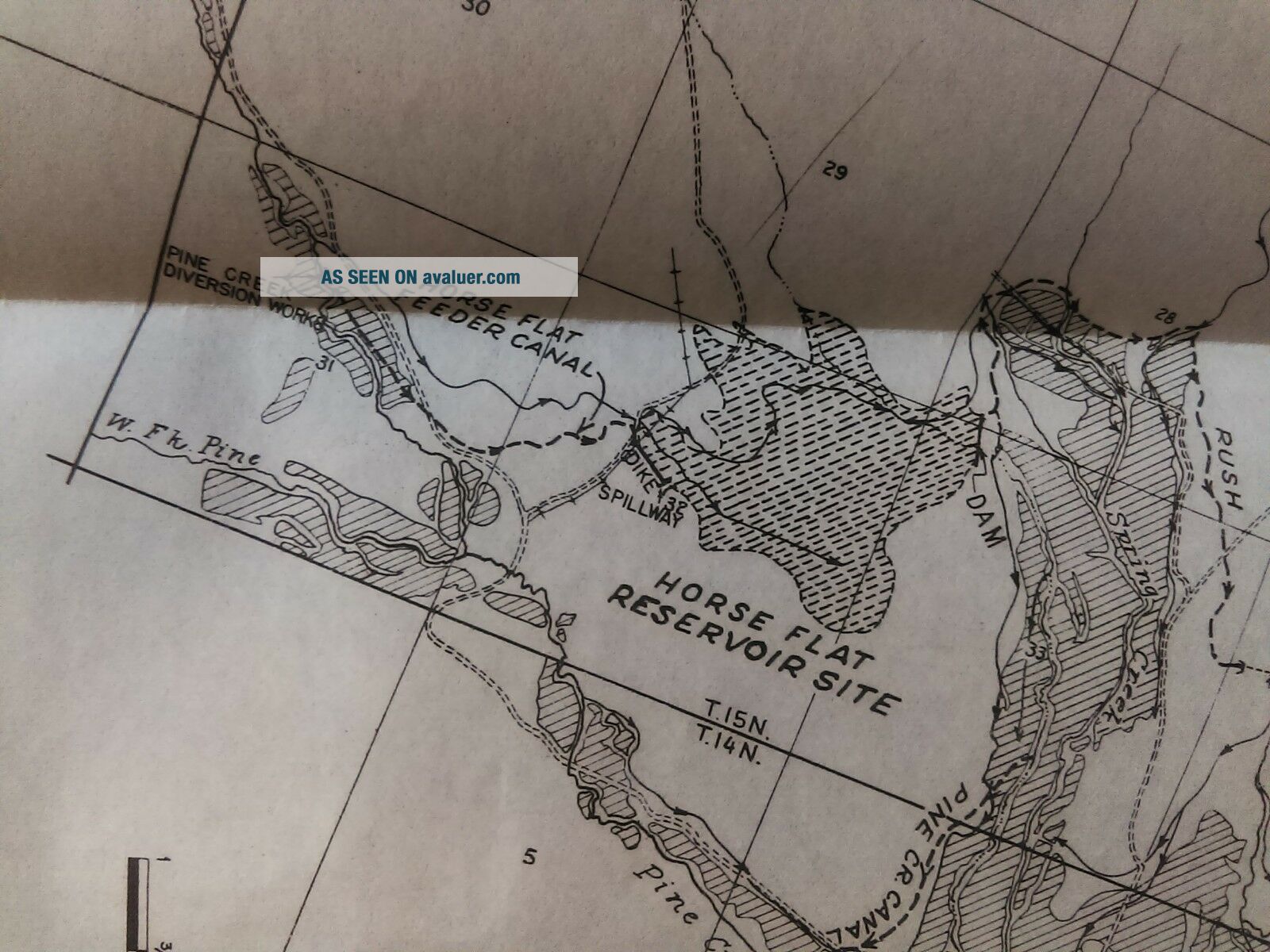
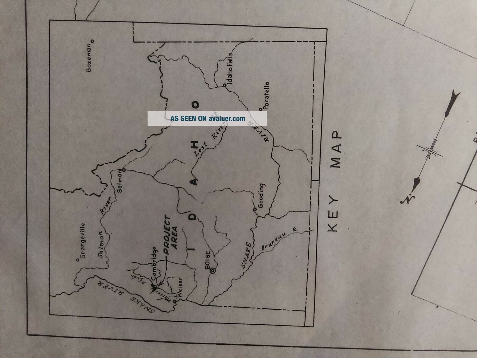
1950 Columbia River Sketch Map Cambridge Bench Project Idaho Horse Flat
Item History & Price
| Reference Number: Avaluer:3841592 | Format: Folding Map |
| Topic: Maps | Original/Reproduction: Antique Original |
| Printing Technique: Lithography | Country/Region: United States of America |
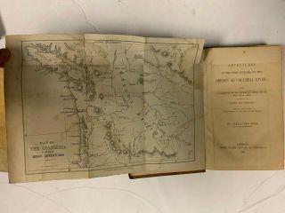
| Type: River Map |
Army Engineering This map/diagram was removed from a historical bound book of maps and documents published by The U.S. Government Printing Office. GPO
Measures about 14in x 11in.
(Item #4631)
Please check out our EBay store MEMAPS for thousands of Antique Original Foldout Maps, Diagrams, and Plates depicting, Canals - Rivers - Levee - Harbors - surveyed and sketched by The United States Army Corps of Engineers.
We offer a 100% satisfaction guarantee... on all purchases.