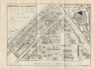
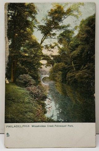
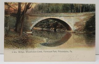
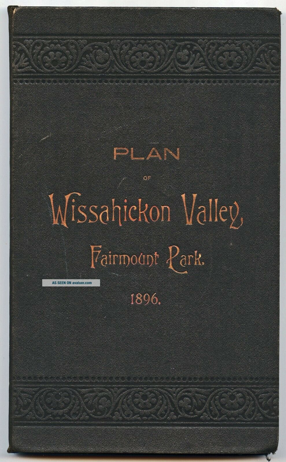
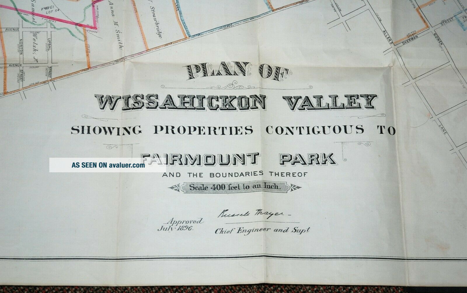
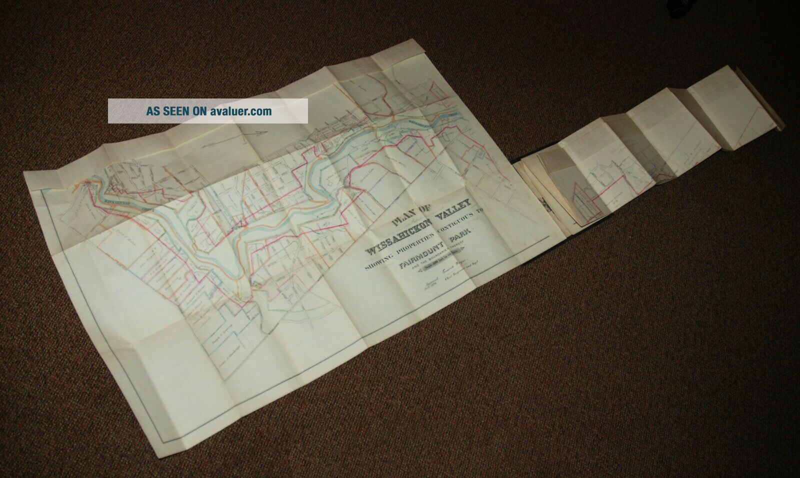
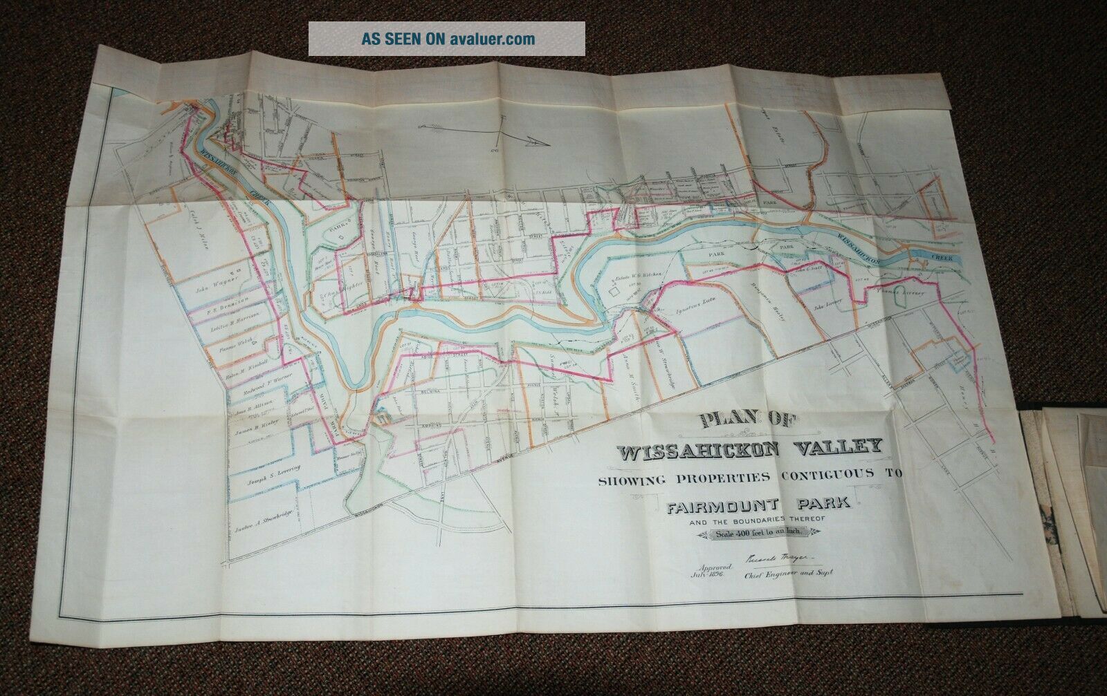
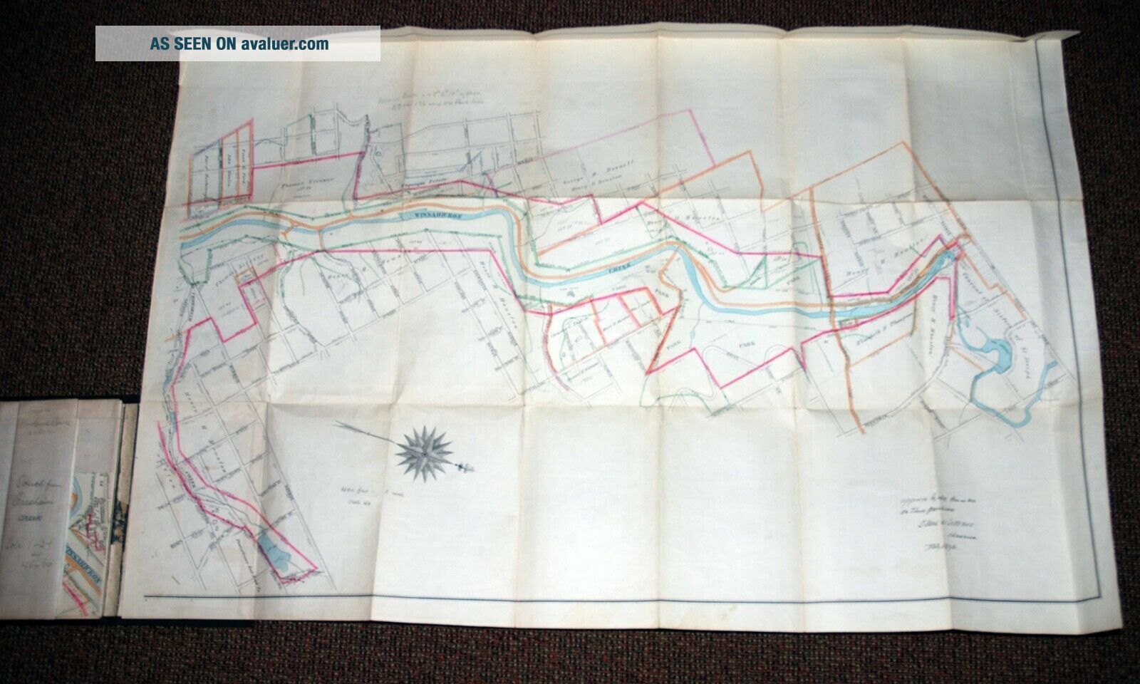
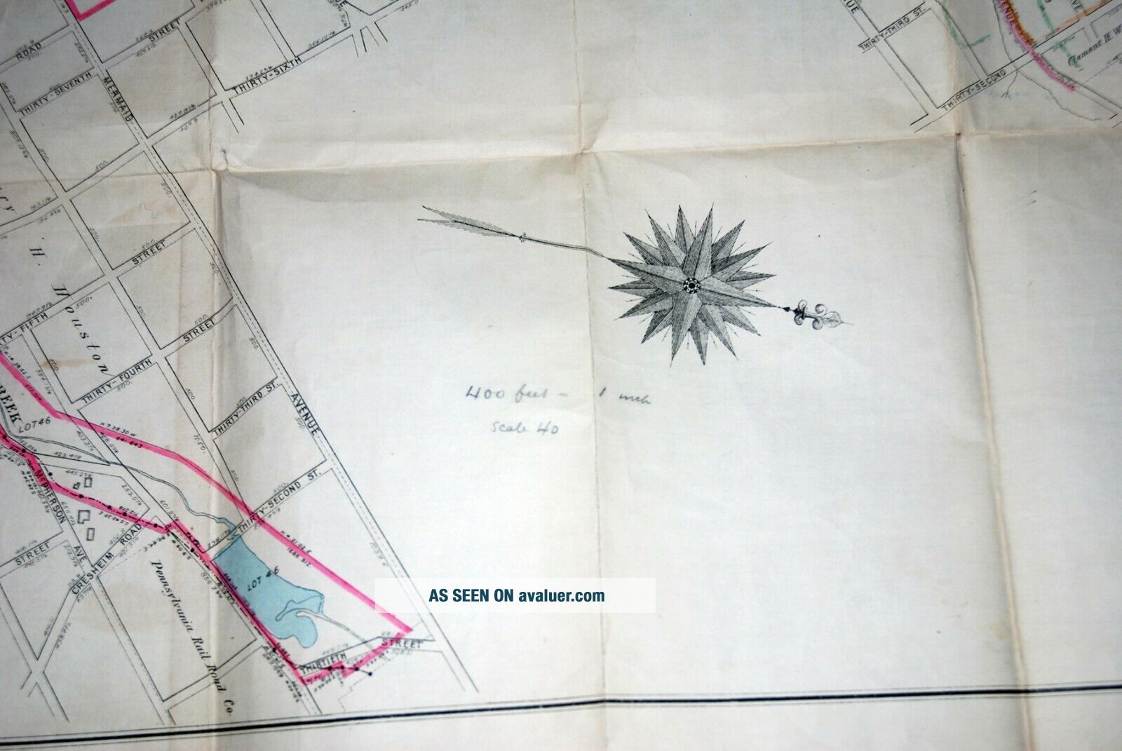
Plan Of Wissahickon Valley Fairmount Park, 1896: Book Casing & Antique Inked Map


Item History & Price

Information:
Reference Number: Avaluer:3862862Year: 1896
City: PhiladelphiaType: City Map
Country/Region: United States of AmericaUS State: Pennsylvania
Original Description:
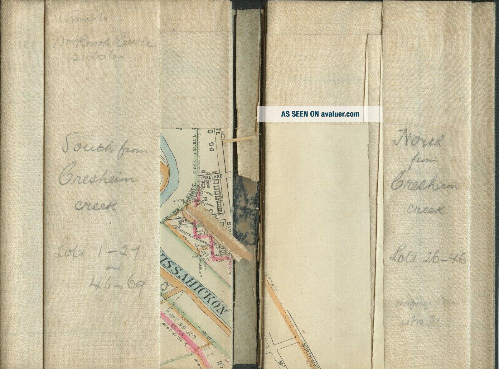
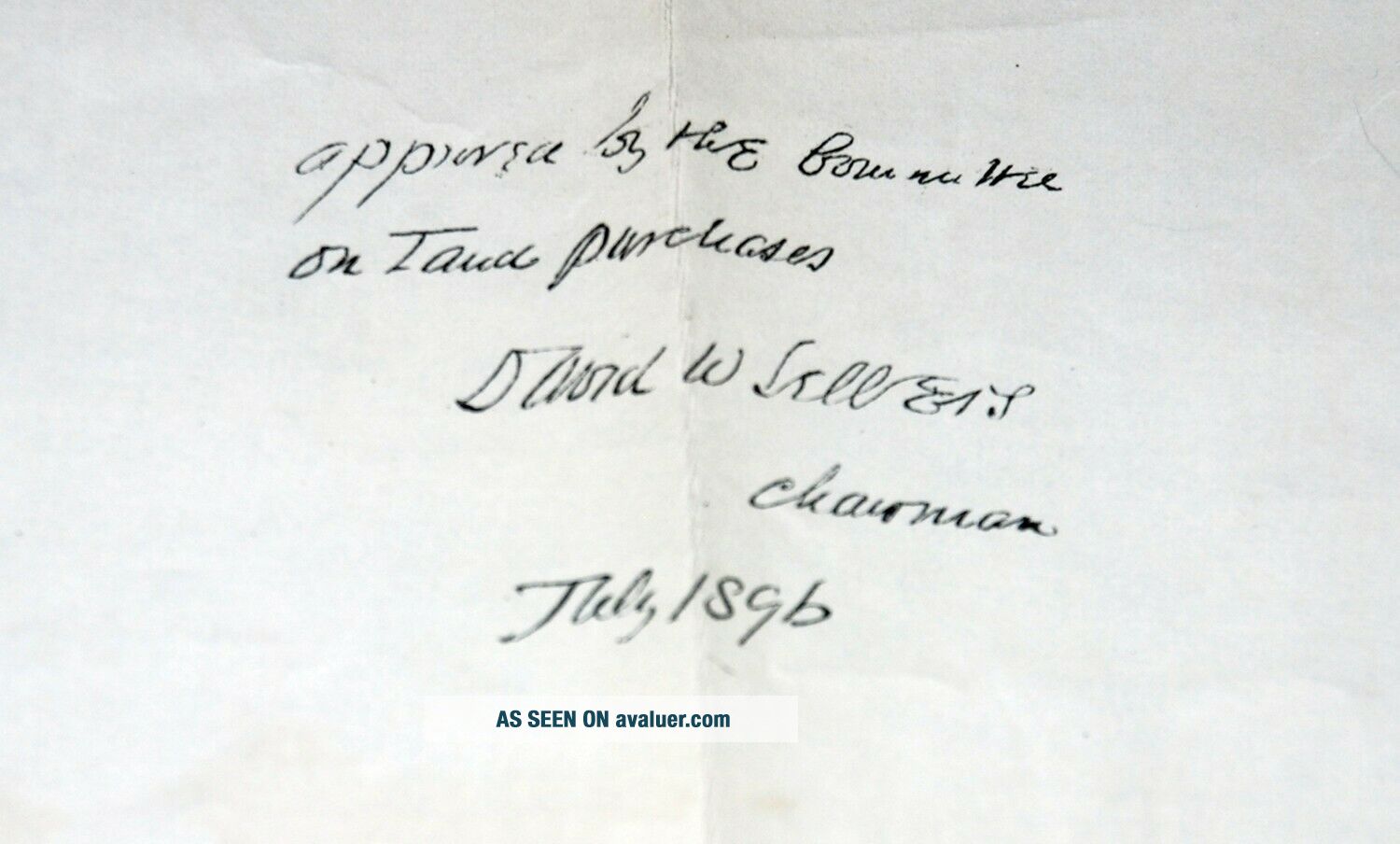
Title: Plan of Wissahickon Valley Fairmount Park, 1896Size: 5.5" X 9.125" (closed book). Cloth binding with iridescent foil die stamp and embossing on front cover.Inside folded map: Approximately 68" X 27" (open): hand inked in black, with applied color defining areas along with handwritten notations. Map is in fine shape, with the lining paper on the inside of the outside cover's spine, fragile (see image.) Spine: .5"


    Similar items


  • Cycling Walking 2 Maps Philadelphia Wissahickon / Valley Green Park Fairmount

    Cycling Walking 2 Maps Philadelphia Wissahickon / Valley Green Park Fairmount

  • Attractive Plan Of London Zoo - Regents Park C1918 By Emery Walker

    Attractive Plan Of London Zoo - Regents Park C1918 By Emery Walker

  • Vintage Postcard The Wissahickon Creek,  Fairmount Park,  Philadelphia,  Pa.

    Vintage Postcard The Wissahickon Creek, Fairmount Park, Philadelphia, Pa.

  • 1924 Postcard Of Lake In Fairmount Park Riverside California To Dora Lange Fwa

    1924 Postcard Of Lake In Fairmount Park Riverside California To Dora Lange Fwa

  • Philadelphia Pa Wissahickon Creek Fairmount Park Udb Tuck Postcard E16

    Philadelphia Pa Wissahickon Creek Fairmount Park Udb Tuck Postcard E16

  • Philadelphia Pa Wissahickon Creek,  Fairmount Park Udb Postcard C1

    Philadelphia Pa Wissahickon Creek, Fairmount Park Udb Postcard C1

  • Philadelphia Pa Bridge,  Wissahickon Creek Fairmount Park 1907 Postcard B9

    Philadelphia Pa Bridge, Wissahickon Creek Fairmount Park 1907 Postcard B9

  • Philadelphia Pa Entrance To Wissahickon Driveway,  Fairmount Park Postcard G3

    Philadelphia Pa Entrance To Wissahickon Driveway, Fairmount Park Postcard G3


    • You might also like


    • 1860 Mitchell Hand Colored Map Colorado,  Nebraska & Kansas - Civil War Era

      1860 Mitchell Hand Colored Map Colorado, Nebraska & Kansas - Civil War Era

    • 18th Century French Map Of North America

      18th Century French Map Of North America

    • Las Vegas Nevada Vintage 1967 Us Geological Survey Quadrangle Map 4 Panels

      Las Vegas Nevada Vintage 1967 Us Geological Survey Quadrangle Map 4 Panels

    • Rare Antique 1845 Maps United States Exploring Expedition Book Antartica Hawaii

      Rare Antique 1845 Maps United States Exploring Expedition Book Antartica Hawaii

    • Vintage 1926 Map Hollywood From The Best Surveys Of The Time

      Vintage 1926 Map Hollywood From The Best Surveys Of The Time

    • American Continent (western Hemisphere) 1747 Bowen Antique Copper Engraved Map

      American Continent (western Hemisphere) 1747 Bowen Antique Copper Engraved Map

    • Gulf Coast Florida Texas United States 1705 De Fer Unusual Antique Engraved Map

      Gulf Coast Florida Texas United States 1705 De Fer Unusual Antique Engraved Map

    • California As Island United States 1700 De Fer Unusual First Edition Antique Map

      California As Island United States 1700 De Fer Unusual First Edition Antique Map

Avaluer          About Us          Privacy Policy          Contact Us          UP
© 2022, avaluer.net, Inc. or its affiliates