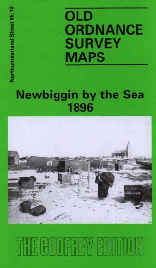
NEWBIGGIN Ordnance Survey Map Geological Survey Flat


Item History & Price

Information:
Reference Number: Avaluer:3901035
Original Description:
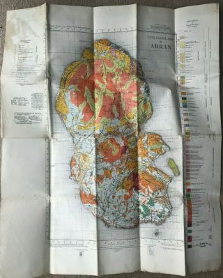
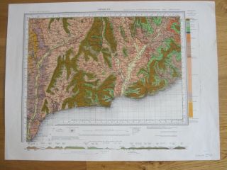
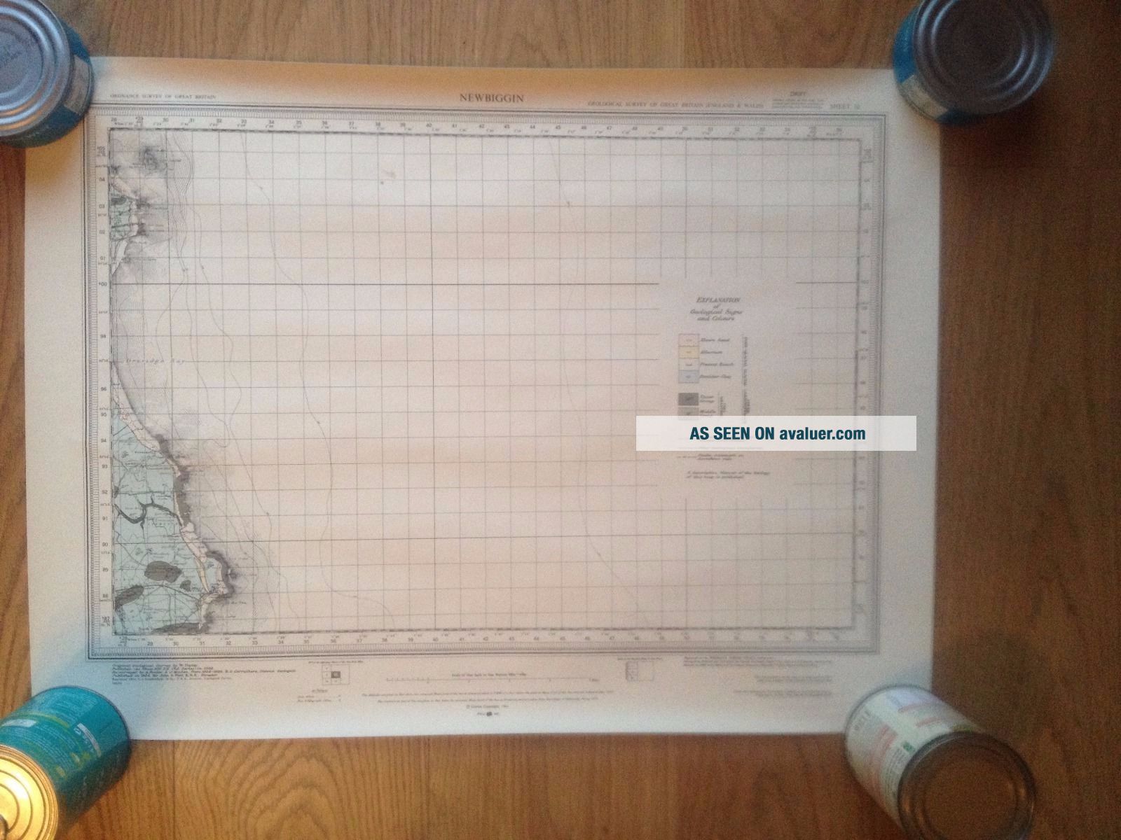
British Geological Survey Map Ordnance Survey MapNEWBIGGIN 
Solid Geology Flat in good condition, but has a couple of small ink? smudge marks on it. Has been stored in a tube with other maps.
Will post in a tube. Please see other items - I have 300 maps to list. Will combine postage 


    Similar items


  • Geological Colour Map Of Arran Ordnance Survey 1948 Edition

    Geological Colour Map Of Arran Ordnance Survey 1948 Edition

  • Vintage Geological Map Hastings Ordnance Survey 1952 Wall Map East Sussex

    Vintage Geological Map Hastings Ordnance Survey 1952 Wall Map East Sussex

  • Ordnance Survey 1 " :1 Mile Geological Survey Of The Isle Of Wight - 1965

    Ordnance Survey 1 " :1 Mile Geological Survey Of The Isle Of Wight - 1965

  • Antique Ordnance Survey Geological Map Of The British Isles

    Antique Ordnance Survey Geological Map Of The British Isles

  • Ordnance Survey Geological Survey Map (drift) Sidmouth Sheet 326 & 340

    Ordnance Survey Geological Survey Map (drift) Sidmouth Sheet 326 & 340

  • Old Ordnance Survey Map Newbiggin By The Sea 1896 Old Coble Inn Woodhorn Demesne

    Old Ordnance Survey Map Newbiggin By The Sea 1896 Old Coble Inn Woodhorn Demesne

  • Spilsby & Alford 84 S.  W.  Antique Hand Coloured Geological Map Ordnance Survey

    Spilsby & Alford 84 S. W. Antique Hand Coloured Geological Map Ordnance Survey

  • Grantham 70 S.  W.  Antique Hand Coloured Geological Map Ordnance Survey 1870

    Grantham 70 S. W. Antique Hand Coloured Geological Map Ordnance Survey 1870


    • You might also like


    • Hungary & Romania 1579 (1584) Ortelius Unusual Antique Copper Engraved Map

      Hungary & Romania 1579 (1584) Ortelius Unusual Antique Copper Engraved Map

    • Brussels Bruxelles Belfium 1777 De Ferraris & Dupuis Large Antique Map Sheet Xxi

      Brussels Bruxelles Belfium 1777 De Ferraris & Dupuis Large Antique Map Sheet Xxi

    • 1616 Atlas Map Of Iceland.

      1616 Atlas Map Of Iceland.

    • Kazan Russia 1767 Le Clerc/lespinasse Antique Copper Engraved City View

      Kazan Russia 1767 Le Clerc/lespinasse Antique Copper Engraved City View

    • 1899 Stanford,  Folding Map Of Norwich,  Norfolk,  Arthur Collins,  Jarrold & Sons,

      1899 Stanford, Folding Map Of Norwich, Norfolk, Arthur Collins, Jarrold & Sons,

    • 1948 Vintage Linen Colour Map Geological Survey Ten Mile Of Great Britain

      1948 Vintage Linen Colour Map Geological Survey Ten Mile Of Great Britain

    • 1944 Map Flying Bombs Sussex Ww2 Newspaper Military Kent Courier German V1 V2

      1944 Map Flying Bombs Sussex Ww2 Newspaper Military Kent Courier German V1 V2

    • Dated 1638 Vellum Map Of Icklesham Sussex Showing Land Uses Owners Etc

      Dated 1638 Vellum Map Of Icklesham Sussex Showing Land Uses Owners Etc

Avaluer          About Us          Privacy Policy          Contact Us          UP
© 2022, avaluer.net, Inc. or its affiliates