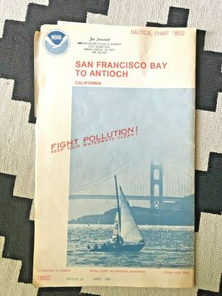
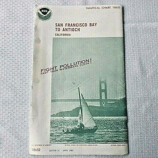
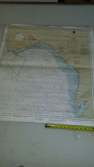
Vintage Nautical Chart Of SAN FRANCISCO BAY - 1984 NOAA Soundings Map (4 ' X 3 ')


Item History & Price

Information:
Reference Number: Avaluer:3994633Year: 1981
City: San FranciscoUS State: California
Original Description:
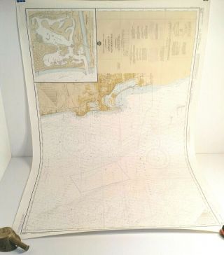
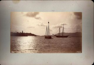
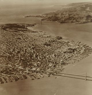
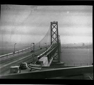
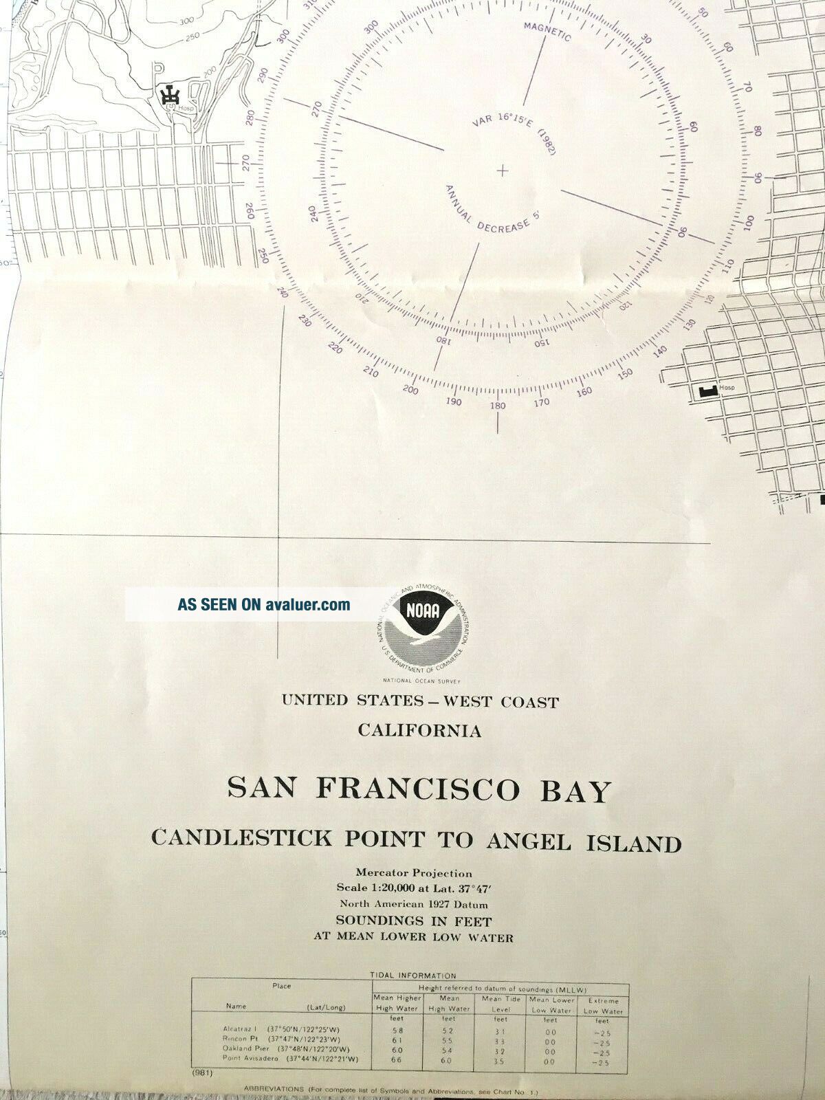
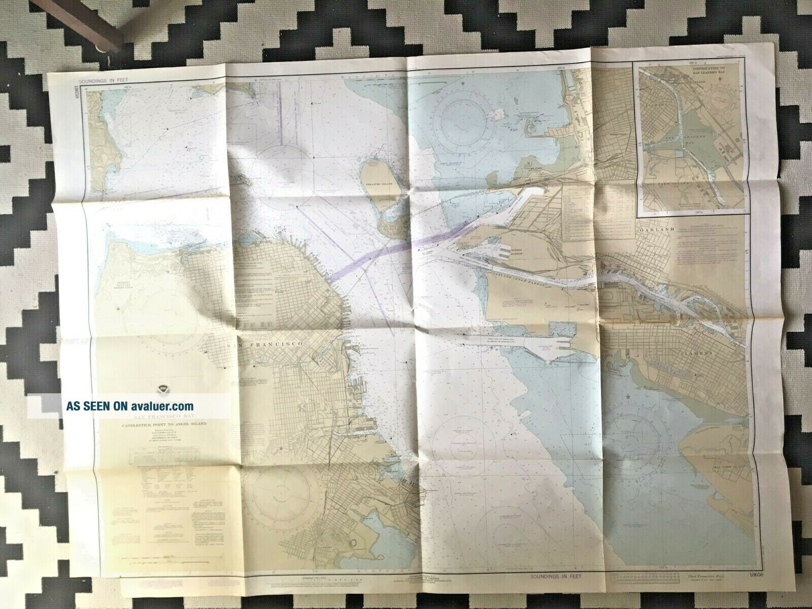
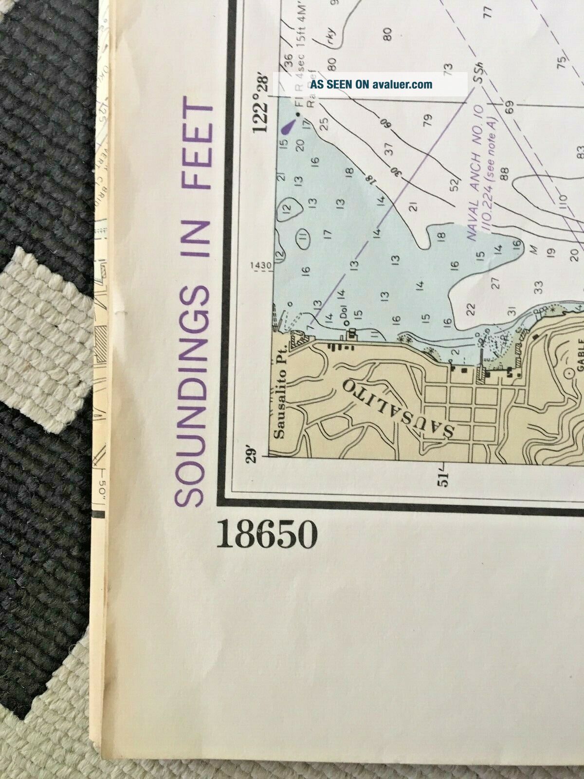
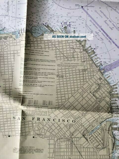
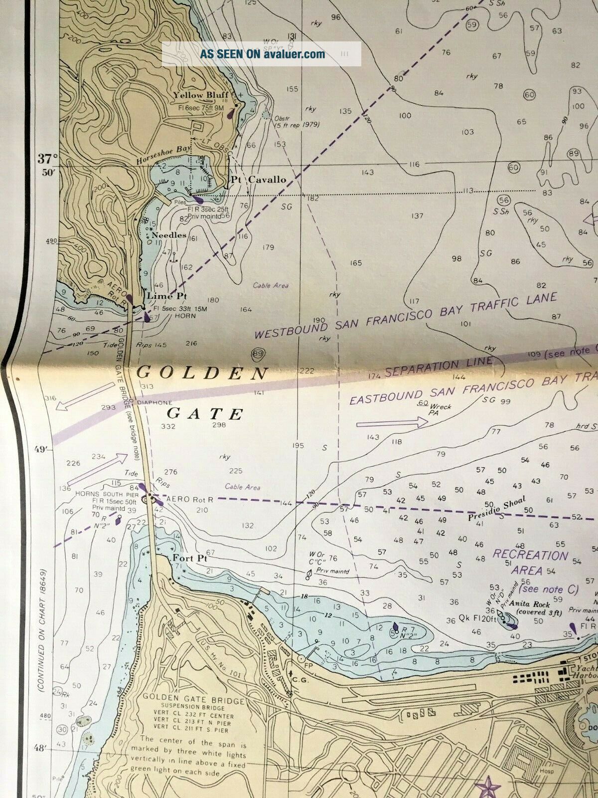
NOAA Nautical Chart of SAN FRANCISCO BAY 1984 Edition Soundings Map #18650Map of the Bay from Candlestick Park To Angel Island
Map Measures 4ft. x 3ft. ........Lower left corner has small cut-outScale is 1:20, 000Printed in Washington DC, for U.S. Department of Commerce/National Oceanic and Atmospheric Administration (NOAA), National Ocean Service Chart
Printed in fathoms, with a great deal of information, of interest to the US Navy, Fishermen, Navigators and the genera...l boating community.
Vintage NOAA Nautical Chart San Francisco Bay, in good condition, as shown. The chart as been folded and will be shipped flat.


    Similar items


  • Vintage Nautical Charts 1984 San Francisco Bay To Antioch.  Noaa Map 18652

    Vintage Nautical Charts 1984 San Francisco Bay To Antioch. Noaa Map 18652

  • Vintage Noaa Nautical Chart Of San Diego Bay Approaches 18765,  1979 Ed 48x31 "

    Vintage Noaa Nautical Chart Of San Diego Bay Approaches 18765, 1979 Ed 48x31 "

  • Vintage " Geologic Guidebook Of San Francisco Bay Counties " 1951

    Vintage " Geologic Guidebook Of San Francisco Bay Counties " 1951

  • Noaa Nautical Chart 18652 San Francisco Bay To Antioch Ca 1982 Edition 21

    Noaa Nautical Chart 18652 San Francisco Bay To Antioch Ca 1982 Edition 21

  • Fabulous,  Rare,  George Fiske Of San Francisco Bay & Golden Gate With Schooners

    Fabulous, Rare, George Fiske Of San Francisco Bay & Golden Gate With Schooners

  • Square Top Keystone Stereoview Aerial View Of San Francisco,  Bay,  Ca K600 - 1067 - B

    Square Top Keystone Stereoview Aerial View Of San Francisco, Bay, Ca K600 - 1067 - B

  • Vintage 1938 Photo Neg Of San Francisco Bay Bridge Toll Booth In Oakland & Cars

    Vintage 1938 Photo Neg Of San Francisco Bay Bridge Toll Booth In Oakland & Cars

  • Antique Vintage Nautical Chart Aeronautical Map Tampa Bay To Cape San Blas Fla

    Antique Vintage Nautical Chart Aeronautical Map Tampa Bay To Cape San Blas Fla


    • You might also like


    • 1860 Mitchell Hand Colored Map Colorado,  Nebraska & Kansas - Civil War Era

      1860 Mitchell Hand Colored Map Colorado, Nebraska & Kansas - Civil War Era

    • 18th Century French Map Of North America

      18th Century French Map Of North America

    • Las Vegas Nevada Vintage 1967 Us Geological Survey Quadrangle Map 4 Panels

      Las Vegas Nevada Vintage 1967 Us Geological Survey Quadrangle Map 4 Panels

    • Rare Antique 1845 Maps United States Exploring Expedition Book Antartica Hawaii

      Rare Antique 1845 Maps United States Exploring Expedition Book Antartica Hawaii

    • Vintage 1926 Map Hollywood From The Best Surveys Of The Time

      Vintage 1926 Map Hollywood From The Best Surveys Of The Time

    • American Continent (western Hemisphere) 1747 Bowen Antique Copper Engraved Map

      American Continent (western Hemisphere) 1747 Bowen Antique Copper Engraved Map

    • Gulf Coast Florida Texas United States 1705 De Fer Unusual Antique Engraved Map

      Gulf Coast Florida Texas United States 1705 De Fer Unusual Antique Engraved Map

    • California As Island United States 1700 De Fer Unusual First Edition Antique Map

      California As Island United States 1700 De Fer Unusual First Edition Antique Map

Avaluer          About Us          Privacy Policy          Contact Us          UP
© 2022, avaluer.net, Inc. or its affiliates