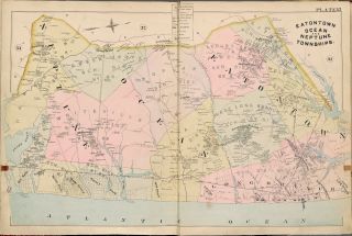
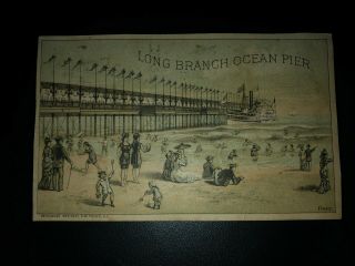
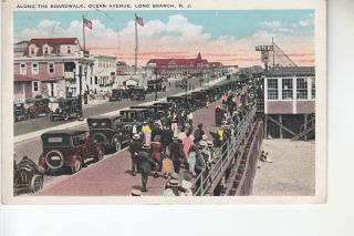
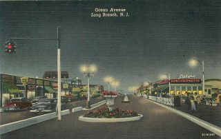
1888 EATONTOWN OCEAN & NEPTUNE TWPs LONG BRANCH NJ MONMOUTH PARK TRACK ATLAS MAP


Item History & Price

Information:
Reference Number: Avaluer:4038087Original/Reproduction: Modern Reproduction
Type: Atlas
Original Description:
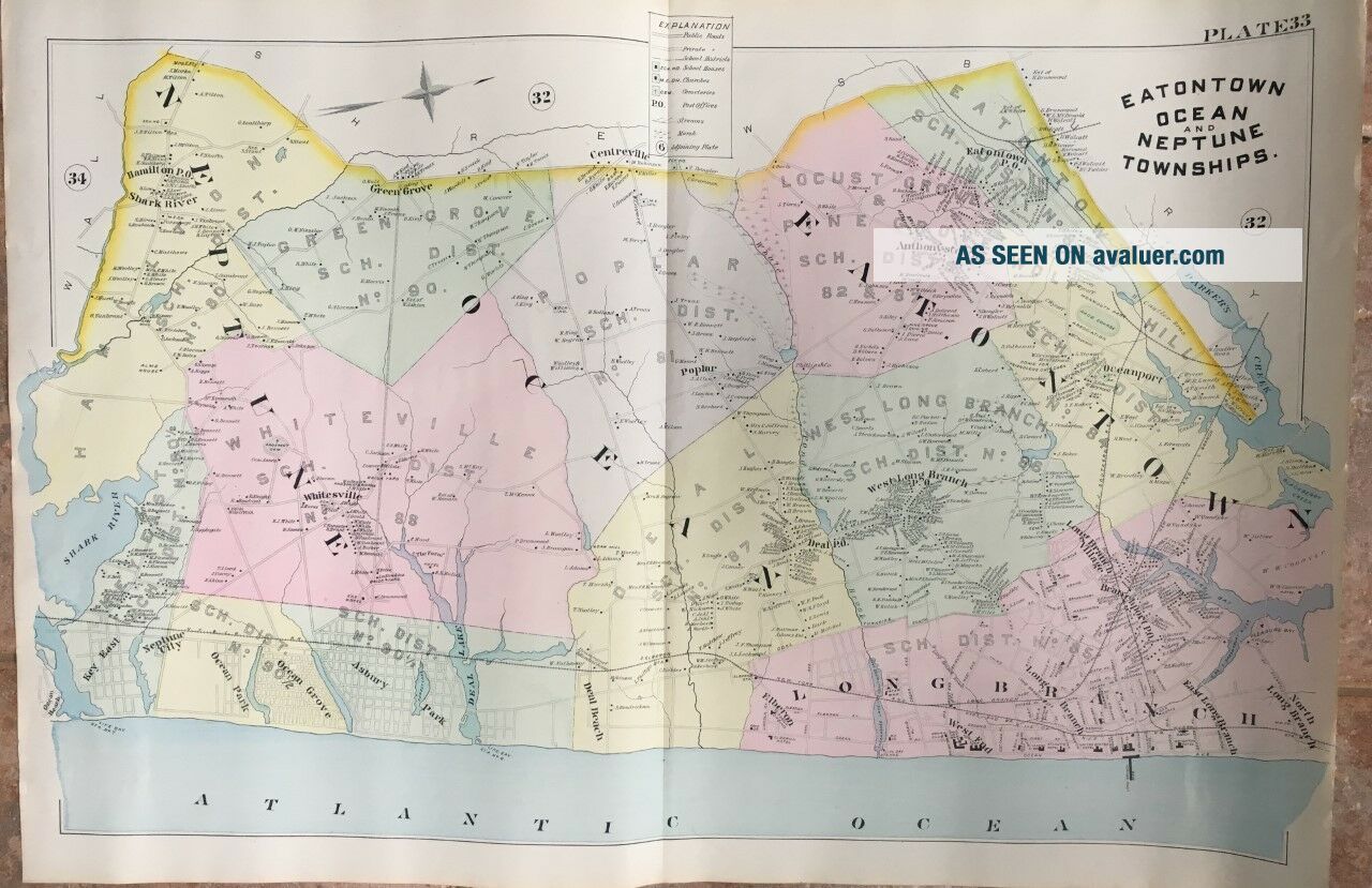
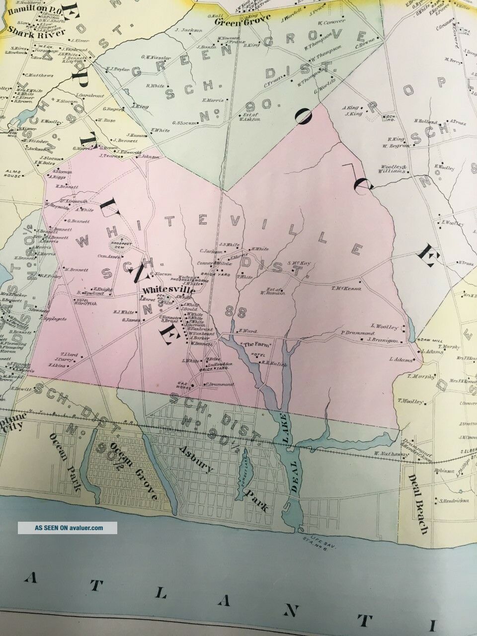
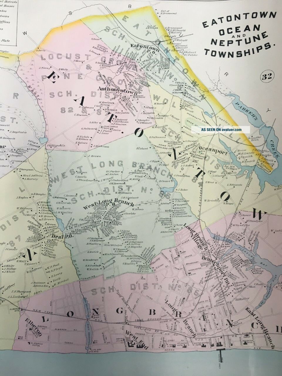
This is a 24x36 high quality, high resolution reproduction on 70 lb. thick stock paper 1888 Chester Wolverton plat atlas map on thick paper of Eatontown, Ocean and Neptune Townships & Long Branch in New Jersey. It includes Asbury Park, Neptune City, Deal & Hamilton Post Offices, Shark River and Monmouth Park Race Course.  It is in Mint condition. Plate 33: covers from Centreville to the Atlantic Ocean and from Shark River to Parker's Creek.Other sizes availa...ble upon request: 11x14, $19.95; 16x20, $24.95; 36x48, $69.95.I am selling my collection of rare maps.  If there is an area or street address of Long Island, Westchester, Brooklyn, Manhattan, Queens, Staten Island, Bronx, Elmira, Buffalo, Rochester, Troy, Newark, New Orleans, Portland, Maine, Atlantic City, Morris, Essex, MonmouthCounty, Seattle, Cleveland, Baltimore, Boston, Philadelphia, Rochester, Toledo, Pittsburgh, Harrisburg, Wilkes-Barre, Reading, Bucks, Delaware County, Worcester, Brookline, Haverhill, Malden, Middlesex County, Lawrence, Quincy, Salem, Massachusetts and other cities that you might be interested in, check my other listings or contact me.  I have insurance maps from 1880 to mid-1950s.  Looks great framed! Check out my other items!


00207


    Similar items


  • 1889 Eatontown Ocean & Neptune Twps,  Monmouth County,  Jersey Atlas Map

    1889 Eatontown Ocean & Neptune Twps, Monmouth County, Jersey Atlas Map

  • 1961 Oceanic Fire Co.  Long Branch Fire Dept.  Dedication Commemorative Glass

    1961 Oceanic Fire Co. Long Branch Fire Dept. Dedication Commemorative Glass

  • 1888 Schedule Long Branch Ocean Grove Asbury Park Jersey Shore Pennsylvania Rr

    1888 Schedule Long Branch Ocean Grove Asbury Park Jersey Shore Pennsylvania Rr

  • Circa 1880 Plymouth Rock Long Branch Jersey Ocean Pier Trade Card

    Circa 1880 Plymouth Rock Long Branch Jersey Ocean Pier Trade Card

  • Victorian Trading Card,  Kimberley

    Victorian Trading Card, Kimberley ' S Excursion, Long Branch Ocean Pier

  • Along Ther Boardwalk Ocean Avenue Long Branch Nj

    Along Ther Boardwalk Ocean Avenue Long Branch Nj

  • Max Schmidts Band White And Gold Ocean Park Long Branch Jersey Postcard

    Max Schmidts Band White And Gold Ocean Park Long Branch Jersey Postcard

  • Long Branch,  Jersey - Ocean Avenue At Night - Curteich Vintage Postcard View

    Long Branch, Jersey - Ocean Avenue At Night - Curteich Vintage Postcard View


    • You might also like


    • 1860 Mitchell Hand Colored Map Colorado,  Nebraska & Kansas - Civil War Era

      1860 Mitchell Hand Colored Map Colorado, Nebraska & Kansas - Civil War Era

    • 18th Century French Map Of North America

      18th Century French Map Of North America

    • Las Vegas Nevada Vintage 1967 Us Geological Survey Quadrangle Map 4 Panels

      Las Vegas Nevada Vintage 1967 Us Geological Survey Quadrangle Map 4 Panels

    • Rare Antique 1845 Maps United States Exploring Expedition Book Antartica Hawaii

      Rare Antique 1845 Maps United States Exploring Expedition Book Antartica Hawaii

    • Vintage 1926 Map Hollywood From The Best Surveys Of The Time

      Vintage 1926 Map Hollywood From The Best Surveys Of The Time

    • American Continent (western Hemisphere) 1747 Bowen Antique Copper Engraved Map

      American Continent (western Hemisphere) 1747 Bowen Antique Copper Engraved Map

    • Gulf Coast Florida Texas United States 1705 De Fer Unusual Antique Engraved Map

      Gulf Coast Florida Texas United States 1705 De Fer Unusual Antique Engraved Map

    • California As Island United States 1700 De Fer Unusual First Edition Antique Map

      California As Island United States 1700 De Fer Unusual First Edition Antique Map

Avaluer          About Us          Privacy Policy          Contact Us          UP
© 2022, avaluer.net, Inc. or its affiliates