C1863 Two Large Antique Maps - British, French & Dutch Guiana - J. W. Lowry


Item History & Price

Information:
Reference Number: Avaluer:4054487
Original Description:
Two original map sheets entitled "British, Dutch and French Guiana" one of which was issued in monthly parts to subscribers of the Weekly Dispatch newspaper (1858 to 1863) - and the second published by Blackie & Son circa 1864These are essentially the same map engraved by Joseph Lowry (see below) with the later map providing a little more topographical detail - for example in the neighboring VenezuelaGood condition with minor creases to the borders. The later map may have been... trimmed from a double-page. Original hand outline coloring to regional boundaries. Overall size 13 x 19 inches and 12 x 14 inches.Joseph Wilson Lowry


    Similar items


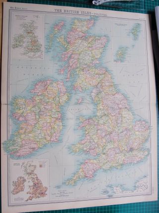
  • 1922 Large Antique Map - British Isles - Political Map
    1922 Large Antique Map - British Isles - Political Map

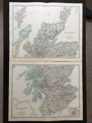
  • 1894 Scotland Large Antique Map On Two Sheets By Johnston 122 Years Old
    1894 Scotland Large Antique Map On Two Sheets By Johnston 122 Years Old

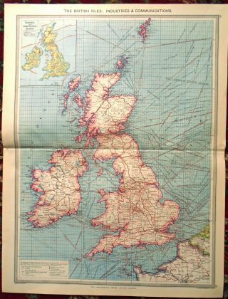
  • Large Antique Map The British Isles Industry Communication Harmsworth C1900
    Large Antique Map The British Isles Industry Communication Harmsworth C1900

  • Large Antique Map Rhodesia & British Central Africa Harmsworth C1900

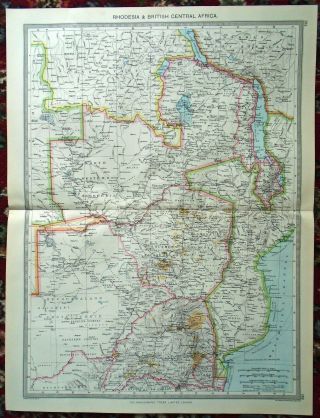
    Large Antique Map Rhodesia & British Central Africa Harmsworth C1900

  • Two Large 1979 Maps Of Zimbabwe - Relief Map - 32 " X 37 " - Land Classification

    Two Large 1979 Maps Of Zimbabwe - Relief Map - 32 " X 37 " - Land Classification

  • Two Large Antique Brass Buckles Metal Detecting Finds.

    Two Large Antique Brass Buckles Metal Detecting Finds.

  • 1844 Large Antique Map - Johnston - India,  Distinguishing British Possessions

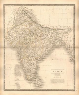
    1844 Large Antique Map - Johnston - India, Distinguishing British Possessions

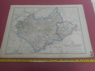
  • 100 Large Leicestershire Map By Dower/cassell C1863 Coloured Railways

    100 Large Leicestershire Map By Dower/cassell C1863 Coloured Railways


    • You might also like


    • Hungary & Romania 1579 (1584) Ortelius Unusual Antique Copper Engraved Map

      Hungary & Romania 1579 (1584) Ortelius Unusual Antique Copper Engraved Map

    • Brussels Bruxelles Belfium 1777 De Ferraris & Dupuis Large Antique Map Sheet Xxi

      Brussels Bruxelles Belfium 1777 De Ferraris & Dupuis Large Antique Map Sheet Xxi

    • 1616 Atlas Map Of Iceland.

      1616 Atlas Map Of Iceland.

    • Kazan Russia 1767 Le Clerc/lespinasse Antique Copper Engraved City View

      Kazan Russia 1767 Le Clerc/lespinasse Antique Copper Engraved City View

    • 1899 Stanford,  Folding Map Of Norwich,  Norfolk,  Arthur Collins,  Jarrold & Sons,

      1899 Stanford, Folding Map Of Norwich, Norfolk, Arthur Collins, Jarrold & Sons,

    • 1948 Vintage Linen Colour Map Geological Survey Ten Mile Of Great Britain

      1948 Vintage Linen Colour Map Geological Survey Ten Mile Of Great Britain

    • 1944 Map Flying Bombs Sussex Ww2 Newspaper Military Kent Courier German V1 V2

      1944 Map Flying Bombs Sussex Ww2 Newspaper Military Kent Courier German V1 V2

    • Dated 1638 Vellum Map Of Icklesham Sussex Showing Land Uses Owners Etc

      Dated 1638 Vellum Map Of Icklesham Sussex Showing Land Uses Owners Etc
Avaluer          About Us          Privacy Policy          Contact Us          UP
© 2022, avaluer.net, Inc. or its affiliates