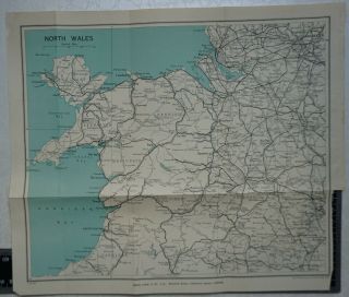
1922 Vintage Bartholomew Map Of North West France, St. Malo, Brest, Caen, Rennes


Item History & Price

Information:
Reference Number: Avaluer:4079440
Original Description:
1922 Vintage Bartholomew Map of North West France, St. Malo, Brest, Caen, Rennes

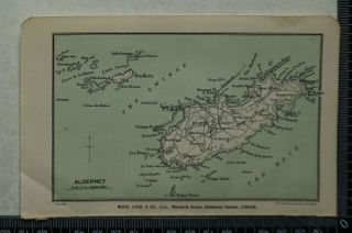
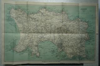
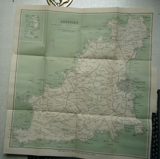
This map comes from ' A Pictorial and Descriptive Guide to the Channel Islands'.
Overall page size: 34 cm x 26 cm approx. with four folds

Condition: Good imprint . Closed tear where tab joins map
Please study the picture


    Similar items


  • 1922 Vintage Bartholomew Map Of Alderney - Channel Islands

    1922 Vintage Bartholomew Map Of Alderney - Channel Islands

  • Rare German Military War Plans With Maps Of North - West France 1940

    Rare German Military War Plans With Maps Of North - West France 1940

  • 1922 Vintage Bartholomew Map Of Jersey - Channel Islands

    1922 Vintage Bartholomew Map Of Jersey - Channel Islands

  • 1922 Vintage Bartholomew Map Of Guernsey,  Herm & Jethou - Channel Islands

    1922 Vintage Bartholomew Map Of Guernsey, Herm & Jethou - Channel Islands

  • 1934 Vintage Bartholomew Map Of North Wales

    1934 Vintage Bartholomew Map Of North Wales

  • Vintage Bartholomew Map Of North Wales - C1920 - Sheet 11 - Welsh,  Gwynedd,  Mon

    Vintage Bartholomew Map Of North Wales - C1920 - Sheet 11 - Welsh, Gwynedd, Mon

  • Vintage Road Map Of North West India By India Tyre & Rubber Company - Sheet A

    Vintage Road Map Of North West India By India Tyre & Rubber Company - Sheet A

  • 1967 Vintage Military Map Of North West London Kensington Camden Watford Barnet

    1967 Vintage Military Map Of North West London Kensington Camden Watford Barnet


    • You might also like


    • Hungary & Romania 1579 (1584) Ortelius Unusual Antique Copper Engraved Map

      Hungary & Romania 1579 (1584) Ortelius Unusual Antique Copper Engraved Map

    • Brussels Bruxelles Belfium 1777 De Ferraris & Dupuis Large Antique Map Sheet Xxi

      Brussels Bruxelles Belfium 1777 De Ferraris & Dupuis Large Antique Map Sheet Xxi

    • 1616 Atlas Map Of Iceland.

      1616 Atlas Map Of Iceland.

    • Kazan Russia 1767 Le Clerc/lespinasse Antique Copper Engraved City View

      Kazan Russia 1767 Le Clerc/lespinasse Antique Copper Engraved City View

    • 1899 Stanford,  Folding Map Of Norwich,  Norfolk,  Arthur Collins,  Jarrold & Sons,

      1899 Stanford, Folding Map Of Norwich, Norfolk, Arthur Collins, Jarrold & Sons,

    • 1948 Vintage Linen Colour Map Geological Survey Ten Mile Of Great Britain

      1948 Vintage Linen Colour Map Geological Survey Ten Mile Of Great Britain

    • 1944 Map Flying Bombs Sussex Ww2 Newspaper Military Kent Courier German V1 V2

      1944 Map Flying Bombs Sussex Ww2 Newspaper Military Kent Courier German V1 V2

    • Dated 1638 Vellum Map Of Icklesham Sussex Showing Land Uses Owners Etc

      Dated 1638 Vellum Map Of Icklesham Sussex Showing Land Uses Owners Etc

Avaluer          About Us          Privacy Policy          Contact Us          UP
© 2022, avaluer.net, Inc. or its affiliates