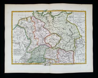
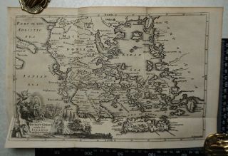
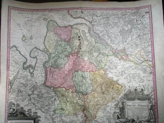
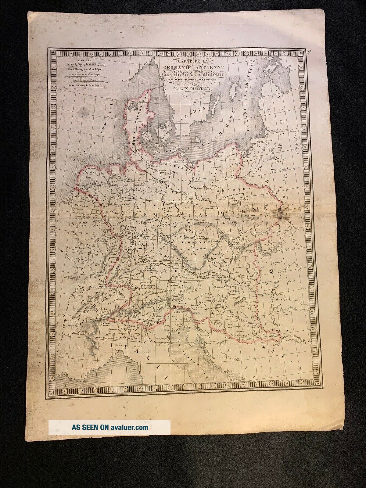
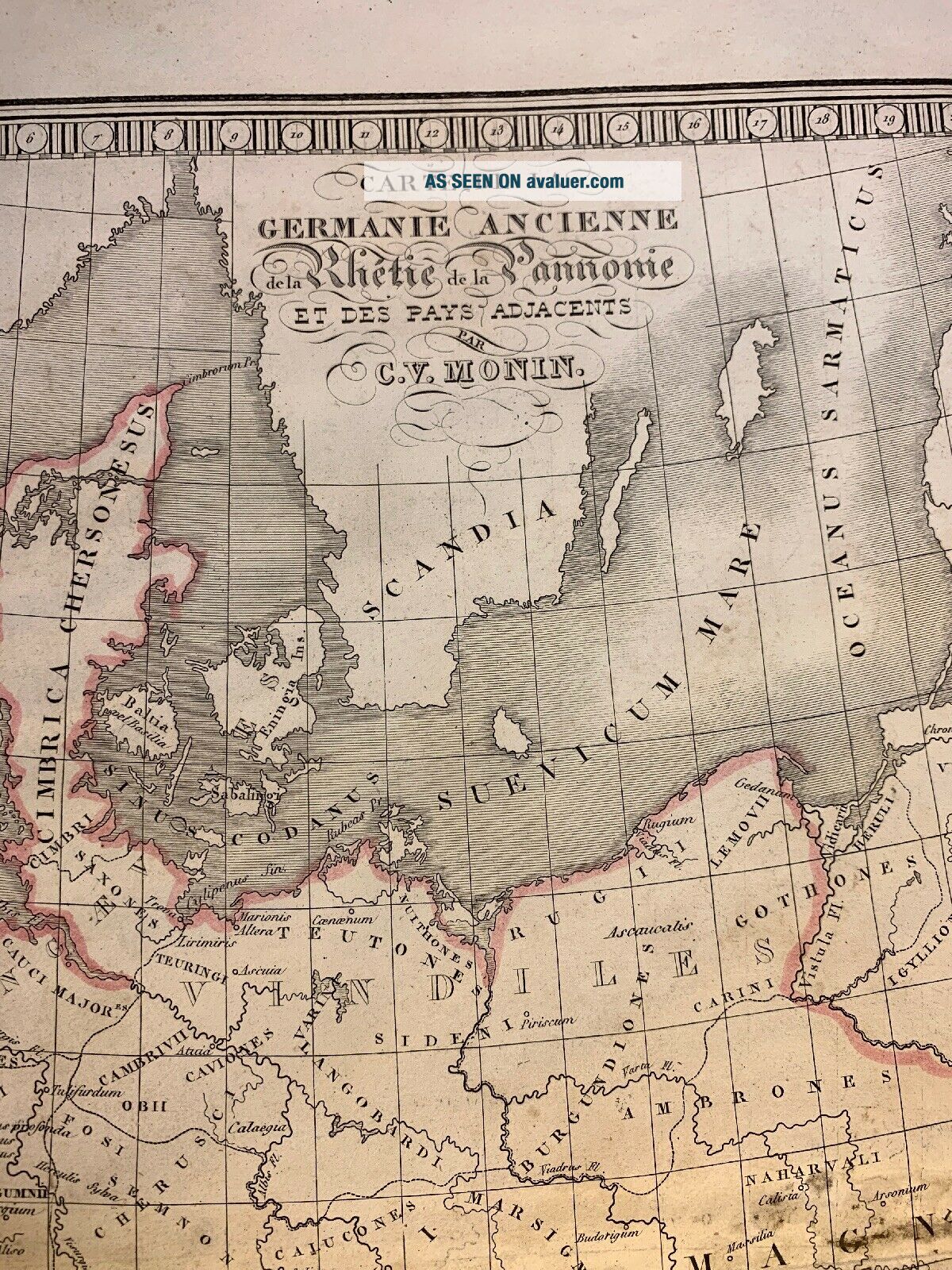
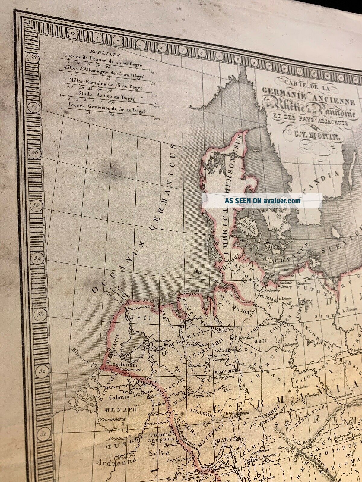
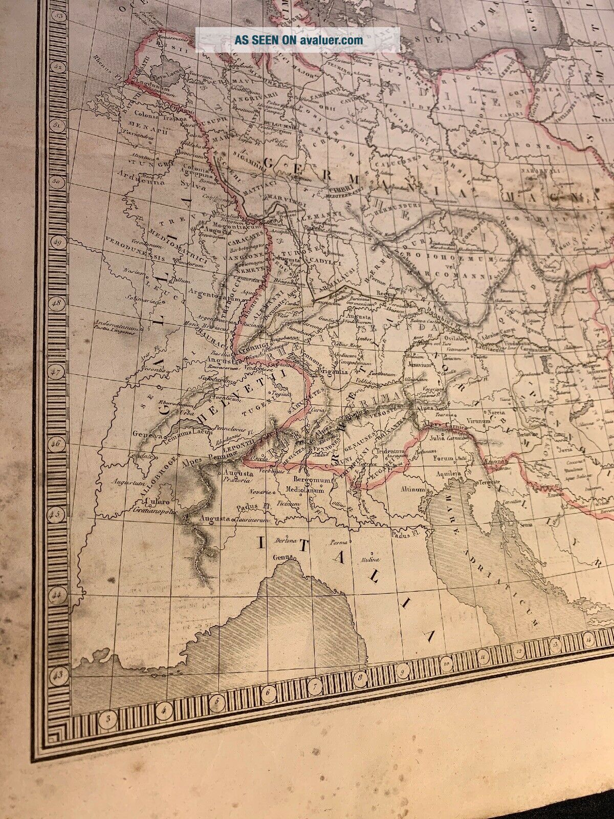
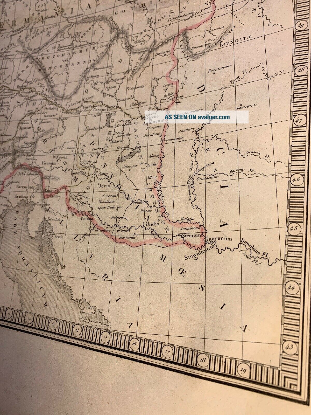
1800s MAP OF ANCIENT GERMANY Raetia And Pannonia


Item History & Price

Information:
Reference Number: Avaluer:4082931Printing Technique: Copper Plate
Format: Atlas MapOriginal/Reproduction: Antique Original
Year: 1800
Original Description:
MAP OF ANCIENT GERMANY Raetia and Pannonia
Published: 1800sSize: 18" x 13".
See other items


    Similar items


  • 1800s Map Of Scandinavia Sweden,  Norway And Denmark

    1800s Map Of Scandinavia Sweden, Norway And Denmark

  • 1785 Zannoni - Rare Map Of Ancient Germany,  Austria,  Berlin,  Minich,  Cologne.

    1785 Zannoni - Rare Map Of Ancient Germany, Austria, Berlin, Minich, Cologne.

  • Antique Map Of The Germany,  Belgium And Holland By Philip Cluver 1711

    Antique Map Of The Germany, Belgium And Holland By Philip Cluver 1711

  • Antique 1800s Map Of France,  Spain Portugal And Italy.  J.  Henry Bradley

    Antique 1800s Map Of France, Spain Portugal And Italy. J. Henry Bradley

  • 1747 Map Of Ancient Greece And Adjoining Islands

    1747 Map Of Ancient Greece And Adjoining Islands

  • Antique Map Of Bremen,  Hamburg,  Elbe And Region,  Germany,  Seutter,  1720

    Antique Map Of Bremen, Hamburg, Elbe And Region, Germany, Seutter, 1720

  • Antique German Woodcut Map Of Ancient Edinburgh And Leith.

    Antique German Woodcut Map Of Ancient Edinburgh And Leith.

  • 1800s Map Of The City Of Boston And Suburbs

    1800s Map Of The City Of Boston And Suburbs


    • You might also like


    • 1860 Mitchell Hand Colored Map Colorado,  Nebraska & Kansas - Civil War Era

      1860 Mitchell Hand Colored Map Colorado, Nebraska & Kansas - Civil War Era

    • 18th Century French Map Of North America

      18th Century French Map Of North America

    • Las Vegas Nevada Vintage 1967 Us Geological Survey Quadrangle Map 4 Panels

      Las Vegas Nevada Vintage 1967 Us Geological Survey Quadrangle Map 4 Panels

    • Rare Antique 1845 Maps United States Exploring Expedition Book Antartica Hawaii

      Rare Antique 1845 Maps United States Exploring Expedition Book Antartica Hawaii

    • Vintage 1926 Map Hollywood From The Best Surveys Of The Time

      Vintage 1926 Map Hollywood From The Best Surveys Of The Time

    • American Continent (western Hemisphere) 1747 Bowen Antique Copper Engraved Map

      American Continent (western Hemisphere) 1747 Bowen Antique Copper Engraved Map

    • Gulf Coast Florida Texas United States 1705 De Fer Unusual Antique Engraved Map

      Gulf Coast Florida Texas United States 1705 De Fer Unusual Antique Engraved Map

    • California As Island United States 1700 De Fer Unusual First Edition Antique Map

      California As Island United States 1700 De Fer Unusual First Edition Antique Map

Avaluer          About Us          Privacy Policy          Contact Us          UP
© 2022, avaluer.net, Inc. or its affiliates