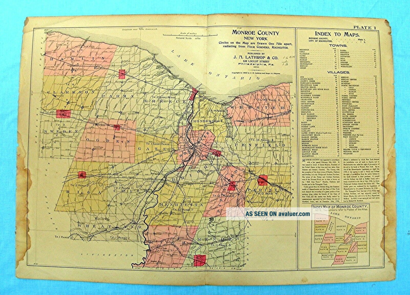
Map Of Monroe County York Dated 1902 By J. M. Lathrop & Co. 32 By 23 Inches
Item History & Price
| Reference Number: Avaluer:4113357 |
Note the water stains on the edge of the may. Anyquestions please e-mail.

| Reference Number: Avaluer:4113357 |
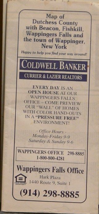
1997 Street Map Of Dutchess County York Issued By Coldwell Banker
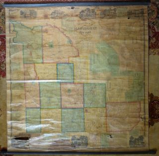
1859 Gillette ' S Map Of Madison County, York, Massive 60 " X 62 " Hand Colored
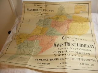
Outline Map Of Randolph County, Wv 1923 (published By John Rice, Belington, Wv)
Vintage Book Of Official Historical Maps Of Westchester County York City
1998 Plat Maps Of Madison County Iowa - Book Published By Winterset Madisonian
Vintage 1944 Hagstrom Map Of Westchester County York Road Rail
1985 Jimapco Street Map Of Columbia County, York
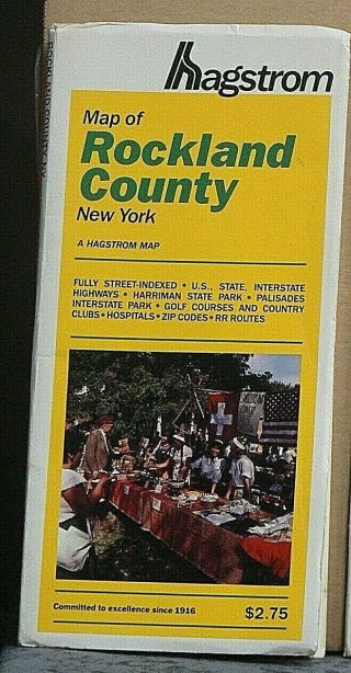
1989 Hagstrom Street Map Of Rockland County, York

1860 Mitchell Hand Colored Map Colorado, Nebraska & Kansas - Civil War Era

18th Century French Map Of North America

Las Vegas Nevada Vintage 1967 Us Geological Survey Quadrangle Map 4 Panels

Rare Antique 1845 Maps United States Exploring Expedition Book Antartica Hawaii

Vintage 1926 Map Hollywood From The Best Surveys Of The Time

American Continent (western Hemisphere) 1747 Bowen Antique Copper Engraved Map

Gulf Coast Florida Texas United States 1705 De Fer Unusual Antique Engraved Map

California As Island United States 1700 De Fer Unusual First Edition Antique Map