17th Century Map Of The Middle East


Item History & Price
| Reference Number: Avaluer:4133698 |
17th Century Map of the Middle East10" x 14" Map of the middle east area, Egypt, Libya, and many other place names.Shipped in a padded envelope.

| Reference Number: Avaluer:4133698 |
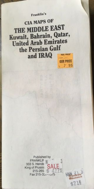
Cia Map Of The Middle East, Kuwait Bahrain Qatar Iraq Persian Gulf United Arab Em
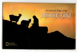
Cultural Map Of The Middle East Vintage National Geographic Map Wall Poster
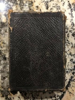
Early 1900s Leather Bound Holy Bible With Old Maps Of The Middle East Peter
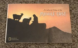
A Cultural Map Of The Middle East National Geographic July 1972
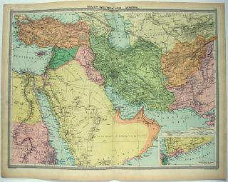
Large 1926 Map Of The Middle East By George Philip & Son. Vintage
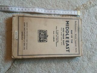
Vintage Map Of The Middle East And Near East.
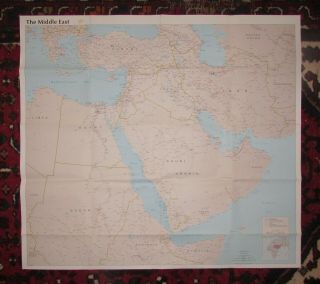
Cia Map Of The Middle East 1990
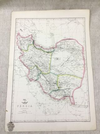
Antique Map Of Persia Middle East Old Hand Coloured 19th Century

Hungary & Romania 1579 (1584) Ortelius Unusual Antique Copper Engraved Map

Brussels Bruxelles Belfium 1777 De Ferraris & Dupuis Large Antique Map Sheet Xxi

1616 Atlas Map Of Iceland.

Kazan Russia 1767 Le Clerc/lespinasse Antique Copper Engraved City View

1899 Stanford, Folding Map Of Norwich, Norfolk, Arthur Collins, Jarrold & Sons,

1948 Vintage Linen Colour Map Geological Survey Ten Mile Of Great Britain

1944 Map Flying Bombs Sussex Ww2 Newspaper Military Kent Courier German V1 V2

Dated 1638 Vellum Map Of Icklesham Sussex Showing Land Uses Owners Etc