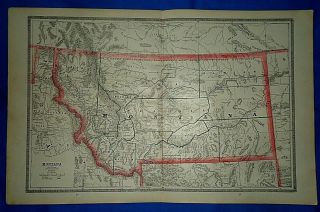
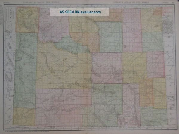
1912 Map WYOMING Railroads Shoshone Indian Reservation Laramie Sheridan
Item History & Price
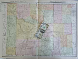
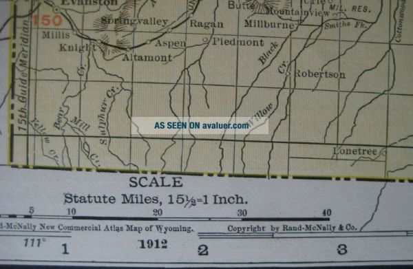
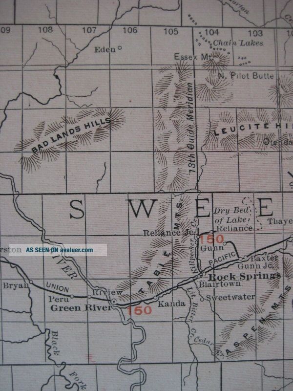
Originallarge-format1912antique color lithographed map of Wyoming, printed morethan 100 yearsago. The image area measures agenerous 48.1 x 66 cm [19" x 26"], and the map is drawn on a scale of15½ miles to the inch.
Topography is shown inrelief, and the maplabels railroads, forts, cities, towns, settlements, and naturalfeatures.
It locates the Wind River or Shoshone Indian Reservation, with a population of 1, 565.
Named railroads include the Saratoga & Encampm...ent Valley; Union Pacific;Chicago, Burlington & Quincy; and Laramie, Hahn's Peak & Pacific.
Among the other named places and features are Nugget, Fort Mackensie, Green River, Laramie, Birdseye, Badwater, Tabernacle Butte, Big Sandy, Cheyenne, Sheridan, Fort Bridger, Snake River, Devils Tower National Monument, Jackson Lake, Cody, Crazy Woman, and Yellowstone National Park.
This map was published by Rand McNally & Company, Chicagoin 1912 and isan original, authentic antique map, nota reproduction or modern reprint. It is fully guaranteed to begenuine.
Condition: It is in excellent condition, bright andclean, with a vertical center fold, as issued, and nomarks, rips, ortears. Please see the scansand feel free to ask any questions.
Buy with confidence! We are always happy to combineshipping on thepurchase of multiple items — just make sure to pay for everythingat one time, not individually.
Powered by SixBit's eCommerce Solution