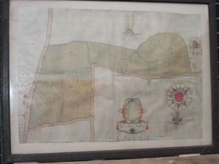
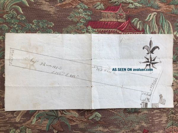
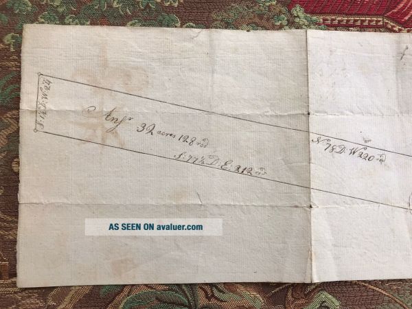
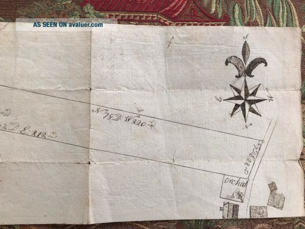
Hand Drawn Antique Map Of “Major Fitton’s Land, " 18th - 19th Century
Item History & Price
Reference Number: Avaluer:43389639 |
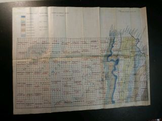
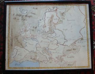
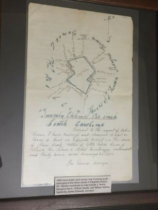
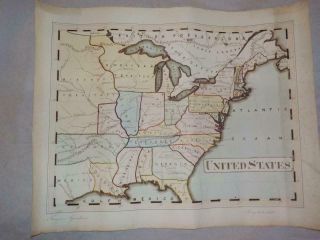
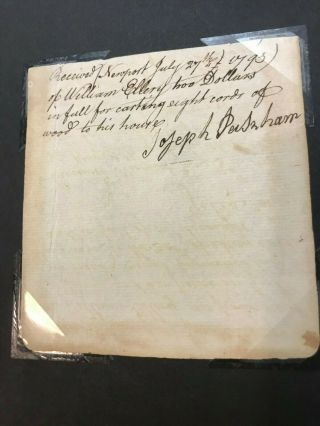
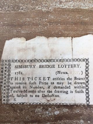
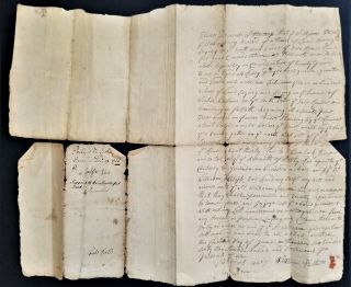
Hand Drawn Geological Map Of Oklahoma. 1940 ' S/50 ' S
Miss Dyer ' S Ca 1800 Schoolgirl Hand Drawn Watercolor Map Of Europe
Hand Drawn Survey Map Of Edgefield Sc District Herrin Family 1856
Rare 1846 Hand Drawn & Coloured Map Of North America By Thomas Gardner - States
Antique Map - Loch Rannoch Scotland - Cat ' S - Hand Drawn
Hand Drawn Estate Map Of Slinfold - Walter Henshaw 1692
Undated Hand Drawn & Coloured Map Of Egypt Arabia Arcadia Pyramids Manuscript
Antique Hand Colored Lithograph Map Of Alabama Colton ' S Atlas South
William Ellery Declaration Of Independence Signer - Signed Receipt 1793
Lottery Ticket From Simsbury Connecticut Ct 1781, Simsbury Bridge
Pre Revolutionary War Tensions In Boston 1768 Colonial Massachusetts Newspaper
1733 Antique Colonial Handwritten Deed Phillips Saco Winter Me Liskom Different
1742/43 Guilford Ct Land Deed Daniel Chittenden To Ebenezer Fowler
1749 Salisbury Ma Antique Land Legal Deed Document Signed Patriots Samuel Adams
Indian Ancient Manuscript With Art Arabic/urdu Manuscript, 9 Leaves - 18 Pages.