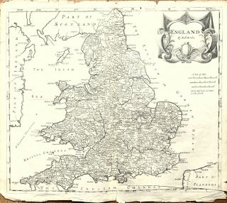
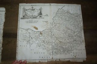
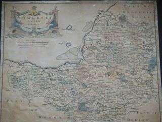
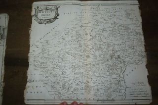
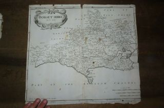
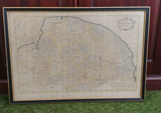
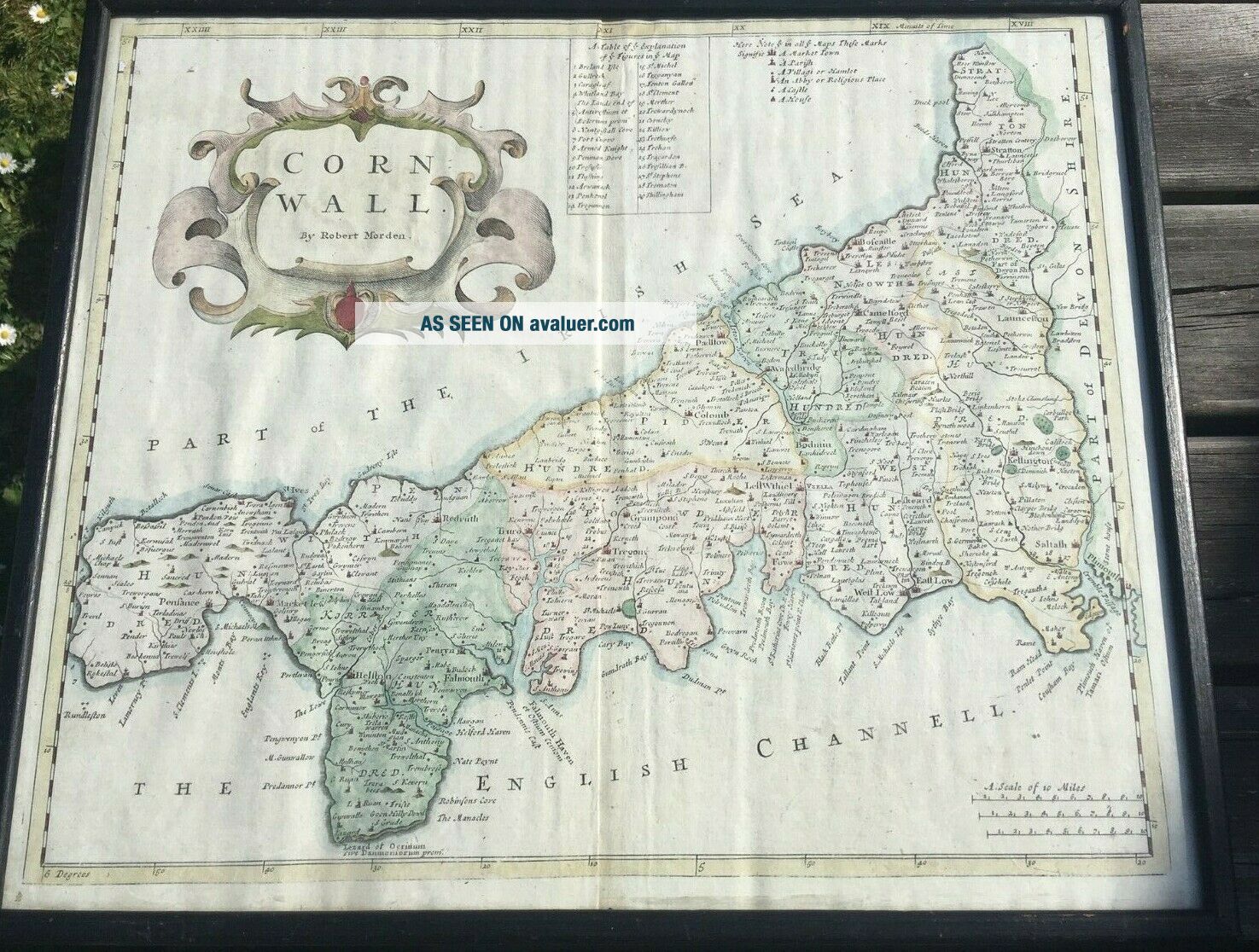
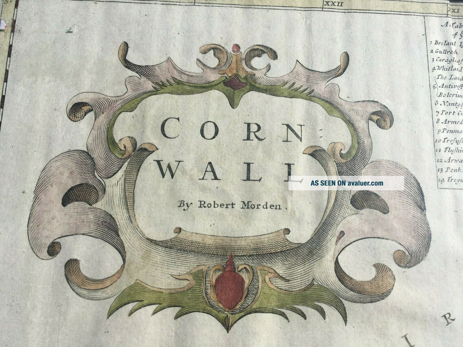
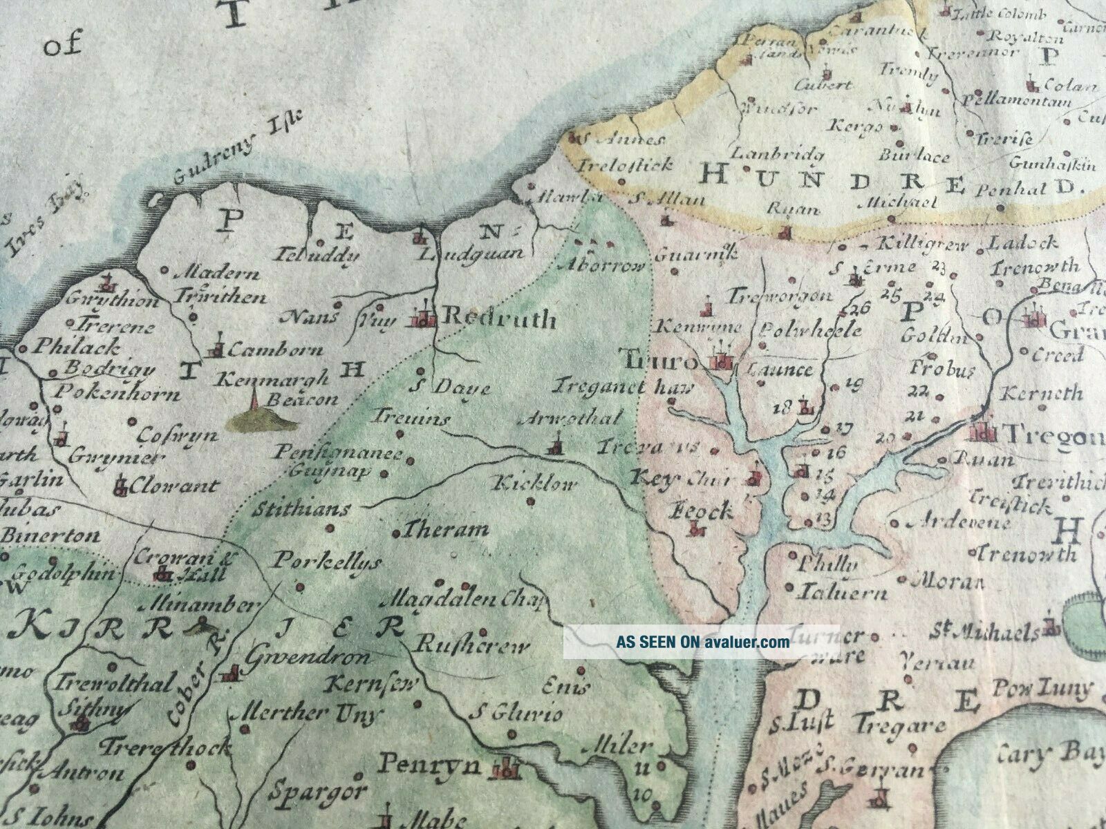
Robert Morden Map Of Cornwall Circa 1695 With Later Hand Colouring


Item History & Price

Information:
Reference Number: Avaluer:43509Year: 1695
County: Cornwall
Original Description:
We are pleased to offer a late 17th / early eighteenth century map of Cornwall by renowned map maker Robert Morden. This example has the 'ye' spellings in the text and has been sensitively hand coloured at a later date. The fold suggests it may have been part of Camden's Britannia atlas. Currently in a 19th century glazed frame with wooden back. Please feel free to contact us with any questions you may have, do take a brief look at our other current antiques & collectables auctions... and the very best of luck.


    Similar items


  • Orig Rare 1695 Robert Morden Map Of England,  Antique Map,  Gibson,  Camden,  Copper

    Orig Rare 1695 Robert Morden Map Of England, Antique Map, Gibson, Camden, Copper

  • 1695 Robert Morden Map Of Somersetshire Somerset Bristol Bath Porlock Portishead

    1695 Robert Morden Map Of Somersetshire Somerset Bristol Bath Porlock Portishead

  • Robert Morden Map Of Somersetshire (1695) Rare Somerset Map,  England

    Robert Morden Map Of Somersetshire (1695) Rare Somerset Map, England

  • 1695 Robert Morden Map Of Hertfordshire Hertford Enfield Waltham Watford Bushey

    1695 Robert Morden Map Of Hertfordshire Hertford Enfield Waltham Watford Bushey

  • 1695 Robert Morden Map Of Dorsetshire Dorchester Weymouth Poole Dorset

    1695 Robert Morden Map Of Dorsetshire Dorchester Weymouth Poole Dorset

  • 1702 - Robert Morden - Map Of Spain Portugal - Pat.  Gordon Geographical Grammar

    1702 - Robert Morden - Map Of Spain Portugal - Pat. Gordon Geographical Grammar

  • 1702 - Robert Morden - Map Of Scandinavia - Pat.  Gordon Geographical Grammar

    1702 - Robert Morden - Map Of Scandinavia - Pat. Gordon Geographical Grammar

  • Robert Morden Map Of Norfolk - Antique Map In A Hogarth Frame

    Robert Morden Map Of Norfolk - Antique Map In A Hogarth Frame


    • You might also like


    • Hungary & Romania 1579 (1584) Ortelius Unusual Antique Copper Engraved Map

      Hungary & Romania 1579 (1584) Ortelius Unusual Antique Copper Engraved Map

    • Brussels Bruxelles Belfium 1777 De Ferraris & Dupuis Large Antique Map Sheet Xxi

      Brussels Bruxelles Belfium 1777 De Ferraris & Dupuis Large Antique Map Sheet Xxi

    • 1616 Atlas Map Of Iceland.

      1616 Atlas Map Of Iceland.

    • Kazan Russia 1767 Le Clerc/lespinasse Antique Copper Engraved City View

      Kazan Russia 1767 Le Clerc/lespinasse Antique Copper Engraved City View

    • 1899 Stanford,  Folding Map Of Norwich,  Norfolk,  Arthur Collins,  Jarrold & Sons,

      1899 Stanford, Folding Map Of Norwich, Norfolk, Arthur Collins, Jarrold & Sons,

    • 1948 Vintage Linen Colour Map Geological Survey Ten Mile Of Great Britain

      1948 Vintage Linen Colour Map Geological Survey Ten Mile Of Great Britain

    • 1944 Map Flying Bombs Sussex Ww2 Newspaper Military Kent Courier German V1 V2

      1944 Map Flying Bombs Sussex Ww2 Newspaper Military Kent Courier German V1 V2

    • Dated 1638 Vellum Map Of Icklesham Sussex Showing Land Uses Owners Etc

      Dated 1638 Vellum Map Of Icklesham Sussex Showing Land Uses Owners Etc

Avaluer          About Us          Privacy Policy          Contact Us          UP
© 2022, avaluer.net, Inc. or its affiliates