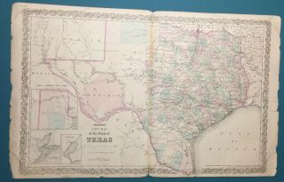
Colton’s Map Of The Country Thirty Three Miles Around The City Of York 1864

Item History & Price
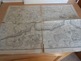
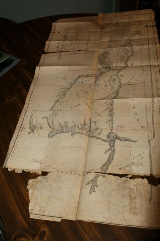
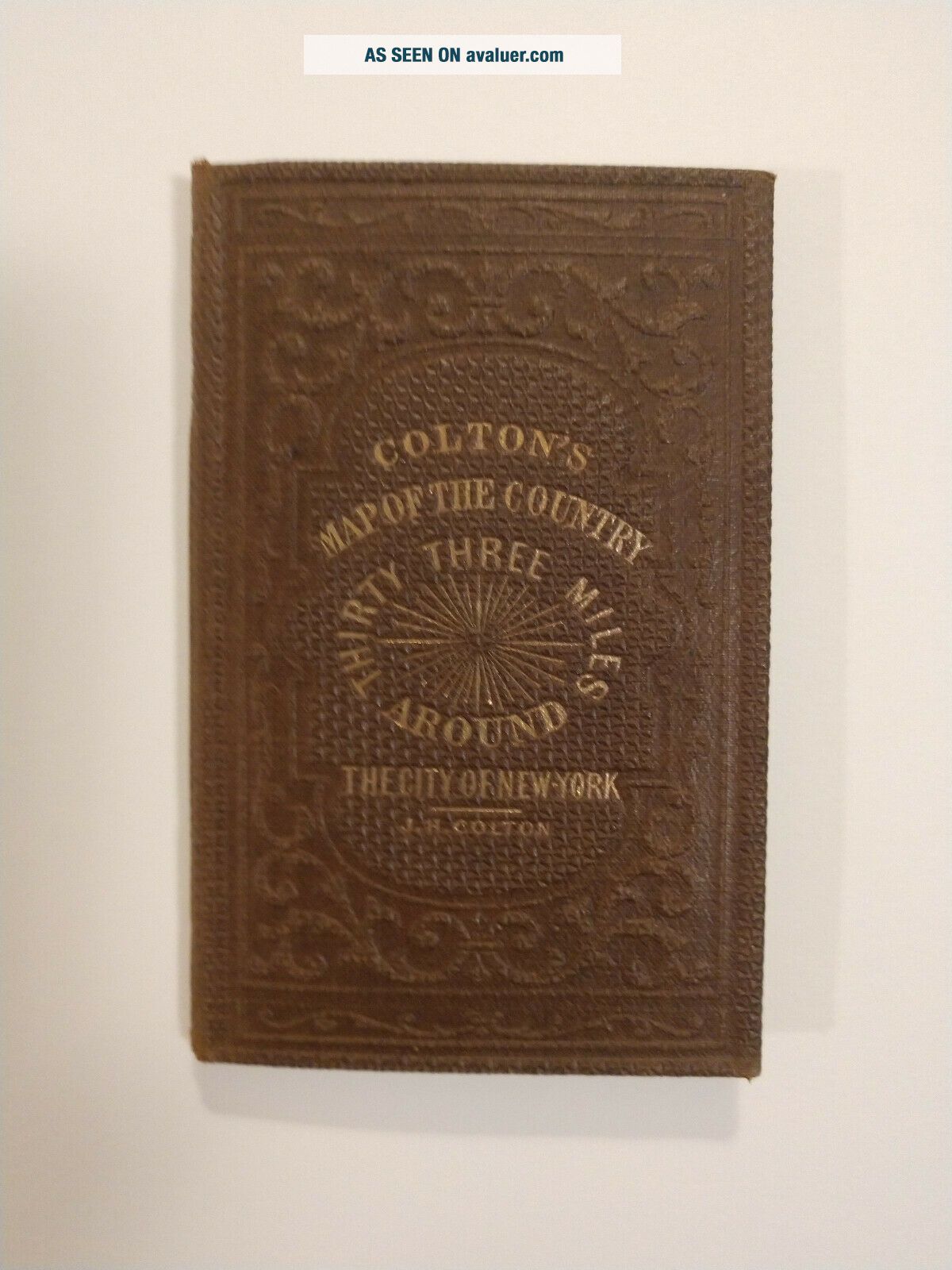
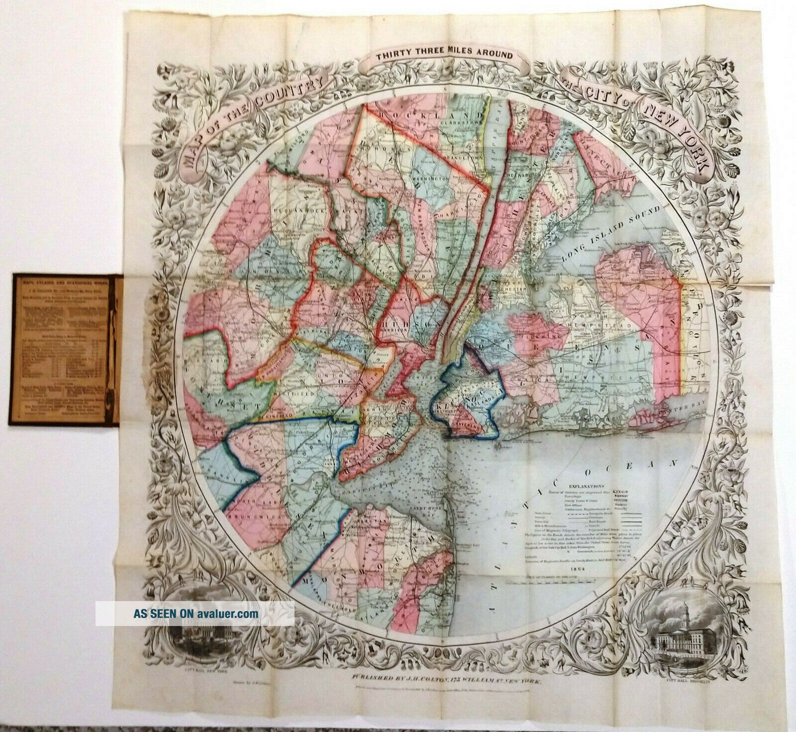
Colton’s Map of the Country Thirty Three Miles around the City of New York 1864.
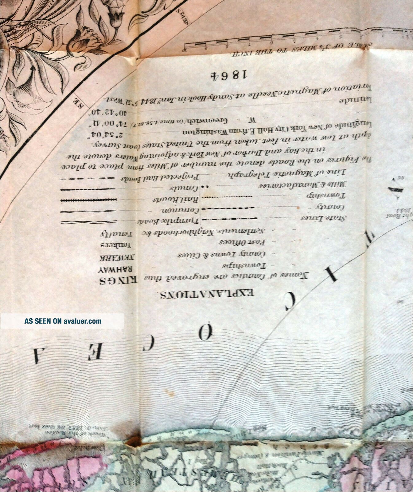
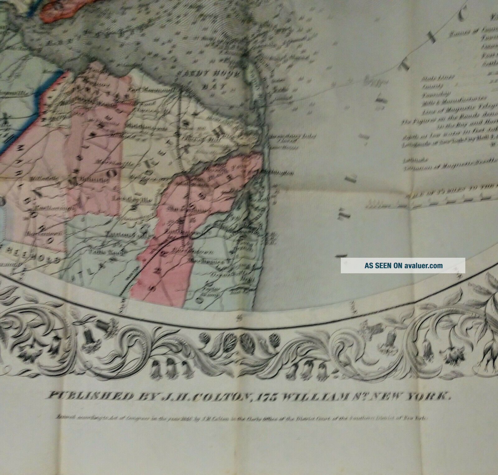
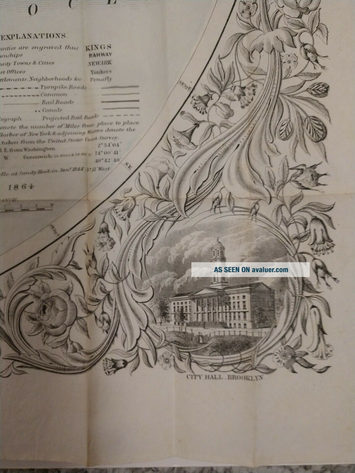
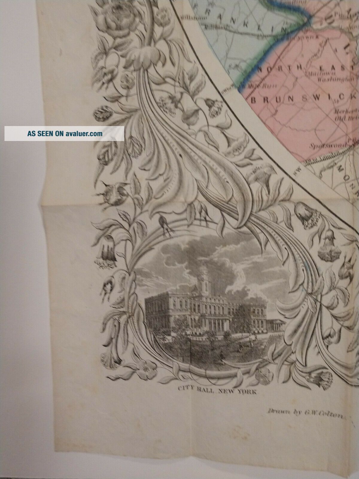
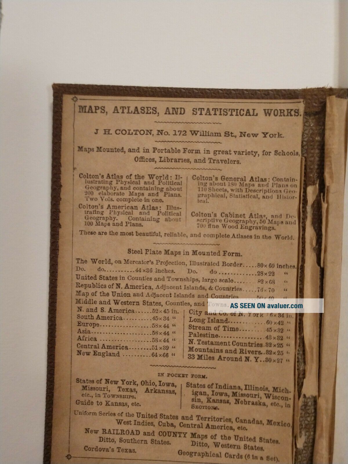
This is the uncommon 1864 edition of the beautiful hand-colored "Colton's Thirty Three Miles Around the City of New York". The pocket map depicts New York City and the vicinity. The area is illustrated in great detail with special attention to settlements, tolls, roads, and railroads. Illustrations of New York City Hall and Brooklyn City Hall are in the bottom corners
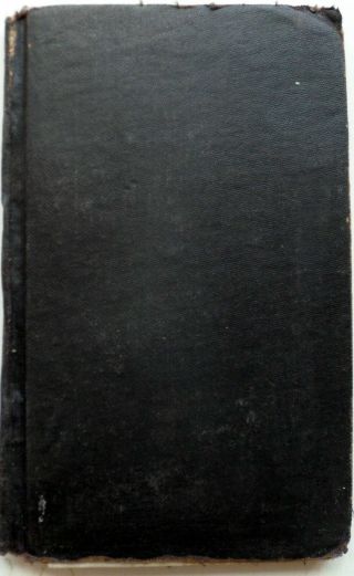
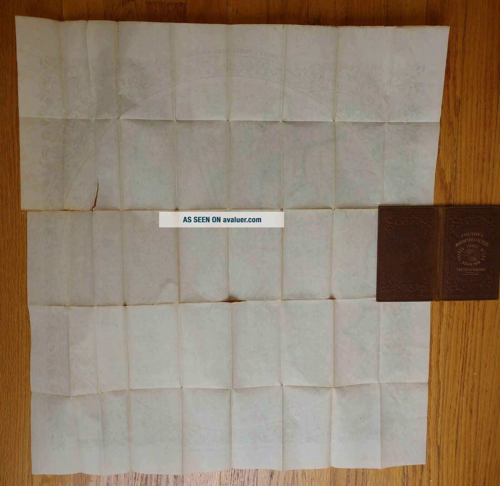
Map is housed i...n brown cloth boards with title and decorative border on front, in good condition. Boards have moderate soiling and light wear. Pocket map measures 26 3/4"x24", folding into a 3 1/2" x 5 3/4" book and has moderate toning and soiling at folds with a few closed tears where folds intersect. Colors are still bright. Bodies of water are colored in blue, and county and township lines are in green and orange.
Shipped with USPS Priority Mail.
This is the uncommon 1864 edition of the beautiful hand-colored "Colton's Thirty Three Miles Around the City of New York". The pocket map depicts New York City and the vicinity. The area is illustrated in great detail with special attention to settlements, tolls, roads, and railroads. Illustrations of New York City Hall and Brooklyn City Hall are in the bottom corners
Map is housed i...n brown cloth boards with title and decorative border on front, in good condition. Boards have moderate soiling and light wear. Pocket map measures 26 3/4"x24", folding into a 3 1/2" x 5 3/4" book and has moderate toning and soiling at folds with a few closed tears where folds intersect. Colors are still bright. Bodies of water are colored in blue, and county and township lines are in green and orange.
Shipped with USPS Priority Mail.