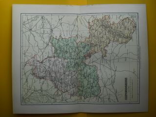
MIDDLESEX COUNTY MAP - F S Weller Map 1895 Fine Detail Coloured


Item History & Price

Information:
Reference Number: Avaluer:43732632
Original Description:
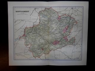
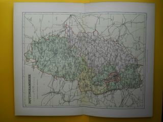
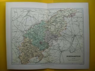
ORIGINAL ANTIQUE MAP by F S WELLER FRGS for William Mackenzie Edinburgh & Glasgow
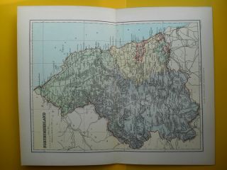
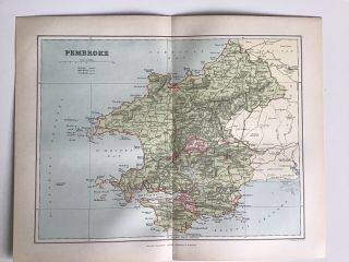
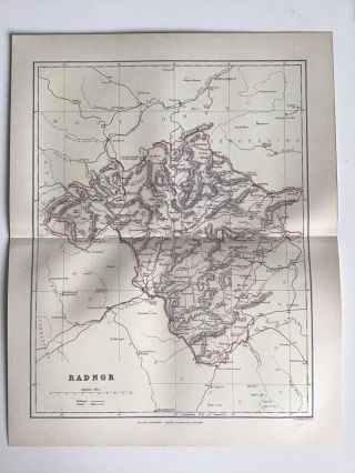
Fine Original Printed Colour Map - Published c1895 - superb definition, detail and colouring - would look superb mounted and framed

Overall Page Size 12.5" x 10.25" - Actual Map Size 11 X 8.5" with a centre fold as originally published in a Victorian Gazetteer

See supersized scans for condition - two tiny marks to bottom border otherwise good condition


...


    Similar items


  • Montgomery Wales County Map - F S Weller C1895 Coloured Fine Detail

    Montgomery Wales County Map - F S Weller C1895 Coloured Fine Detail

  • Northumberland County Map - F S Weller Map 1895 Fine Detail Coloured

    Northumberland County Map - F S Weller Map 1895 Fine Detail Coloured

  • Isle Of Man County Map - F S Weller Map 1895 Fine Detail Coloured

    Isle Of Man County Map - F S Weller Map 1895 Fine Detail Coloured

  • Nottinghamshire County Map - F S Weller Map 1895 Fine Detail Coloured

    Nottinghamshire County Map - F S Weller Map 1895 Fine Detail Coloured

  • Oxfordshire County Map - F S Weller Map 1895 Fine Detail Coloured

    Oxfordshire County Map - F S Weller Map 1895 Fine Detail Coloured

  • Northamptonshire County Map - F S Weller Map 1895 Fine Detail Coloured

    Northamptonshire County Map - F S Weller Map 1895 Fine Detail Coloured

  • Pembrokeshire C1891 Antique County Map F.  S.  Weller,  Wales Atlas

    Pembrokeshire C1891 Antique County Map F. S. Weller, Wales Atlas

  • Radnorshire C1891 Antique County Map F.  S.  Weller,  Wales Atlas

    Radnorshire C1891 Antique County Map F. S. Weller, Wales Atlas


    • You might also like


    • Hungary & Romania 1579 (1584) Ortelius Unusual Antique Copper Engraved Map

      Hungary & Romania 1579 (1584) Ortelius Unusual Antique Copper Engraved Map

    • Brussels Bruxelles Belfium 1777 De Ferraris & Dupuis Large Antique Map Sheet Xxi

      Brussels Bruxelles Belfium 1777 De Ferraris & Dupuis Large Antique Map Sheet Xxi

    • 1616 Atlas Map Of Iceland.

      1616 Atlas Map Of Iceland.

    • Kazan Russia 1767 Le Clerc/lespinasse Antique Copper Engraved City View

      Kazan Russia 1767 Le Clerc/lespinasse Antique Copper Engraved City View

    • 1899 Stanford,  Folding Map Of Norwich,  Norfolk,  Arthur Collins,  Jarrold & Sons,

      1899 Stanford, Folding Map Of Norwich, Norfolk, Arthur Collins, Jarrold & Sons,

    • 1948 Vintage Linen Colour Map Geological Survey Ten Mile Of Great Britain

      1948 Vintage Linen Colour Map Geological Survey Ten Mile Of Great Britain

    • 1944 Map Flying Bombs Sussex Ww2 Newspaper Military Kent Courier German V1 V2

      1944 Map Flying Bombs Sussex Ww2 Newspaper Military Kent Courier German V1 V2

    • Dated 1638 Vellum Map Of Icklesham Sussex Showing Land Uses Owners Etc

      Dated 1638 Vellum Map Of Icklesham Sussex Showing Land Uses Owners Etc

Avaluer          About Us          Privacy Policy          Contact Us          UP
© 2022, avaluer.net, Inc. or its affiliates