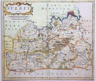
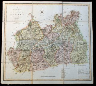
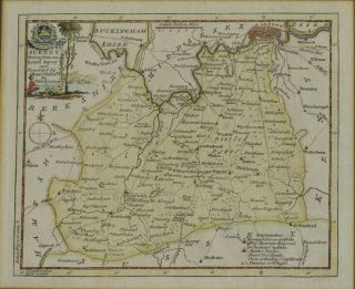
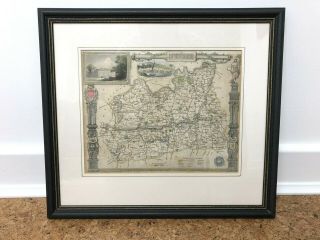
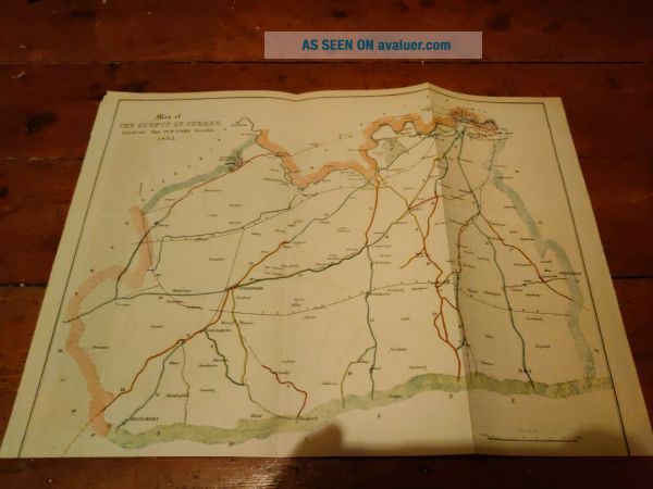
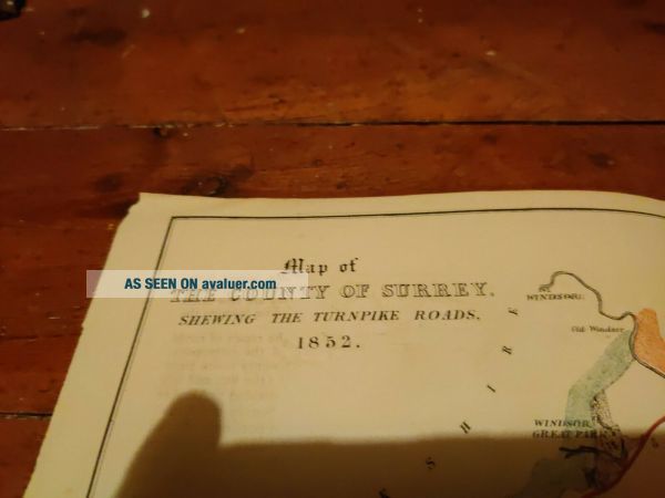
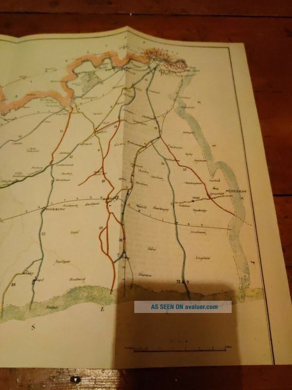
Antique Map Of County Of Surrey Shewing Turnpike Roads 1852
Item History & Price
| Reference Number: Avaluer:43798223 | Type: County Map |
| County: Surrey | Year: 1852 |
Antique Map Of County Of Surrey Shewing Turnpike Roads 1852. Dispatched with Royal Mail 2nd Class. Paper victorian map in fair condition.