Antique Map: Pannonia, Dacia / Roman Empire By A K Johnston, Classical Map, 1880
Item History & Price
You will be bidding on a collectable antique map from 1880:
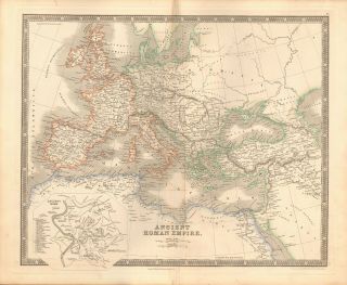
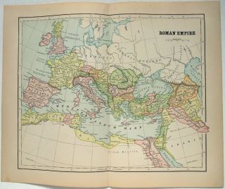
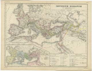
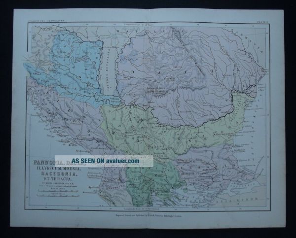
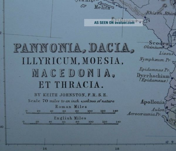
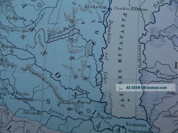
An original classical colour map of the Pannonia and Roman Empire States. Published in The School Atlas of Classical Geography by Alexander Keith Johnston in 1880.
Map: Pannonia, Dacia, Illyricum, Moesia, Macedonia, et ThraciaDate: 1880Size: 34 x 27 cms, including marginsCartographer: Alexander Keith JohnstonPublisher: W & A K Johnston, Edinburgh and LondonCondition: Good with signs of use and age-related wear.... Some tanning and foxing. Folded as published. Ideal for display and framing
Postage is free within the UK and overseas sales by Global Shipping Programme only.
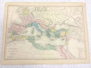
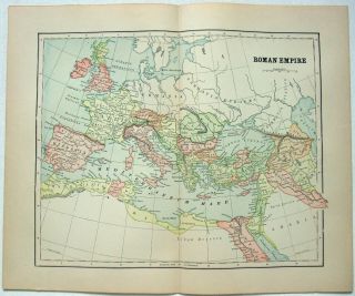
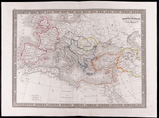