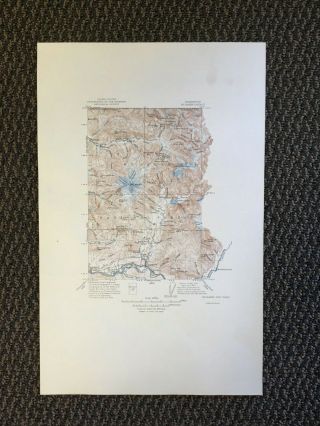
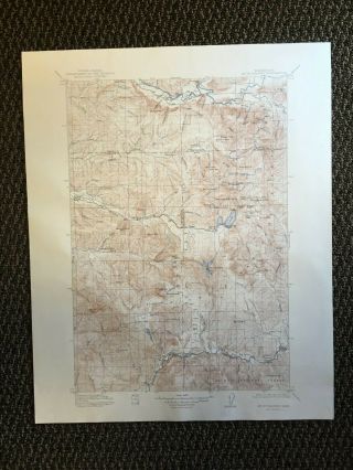
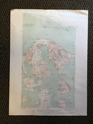
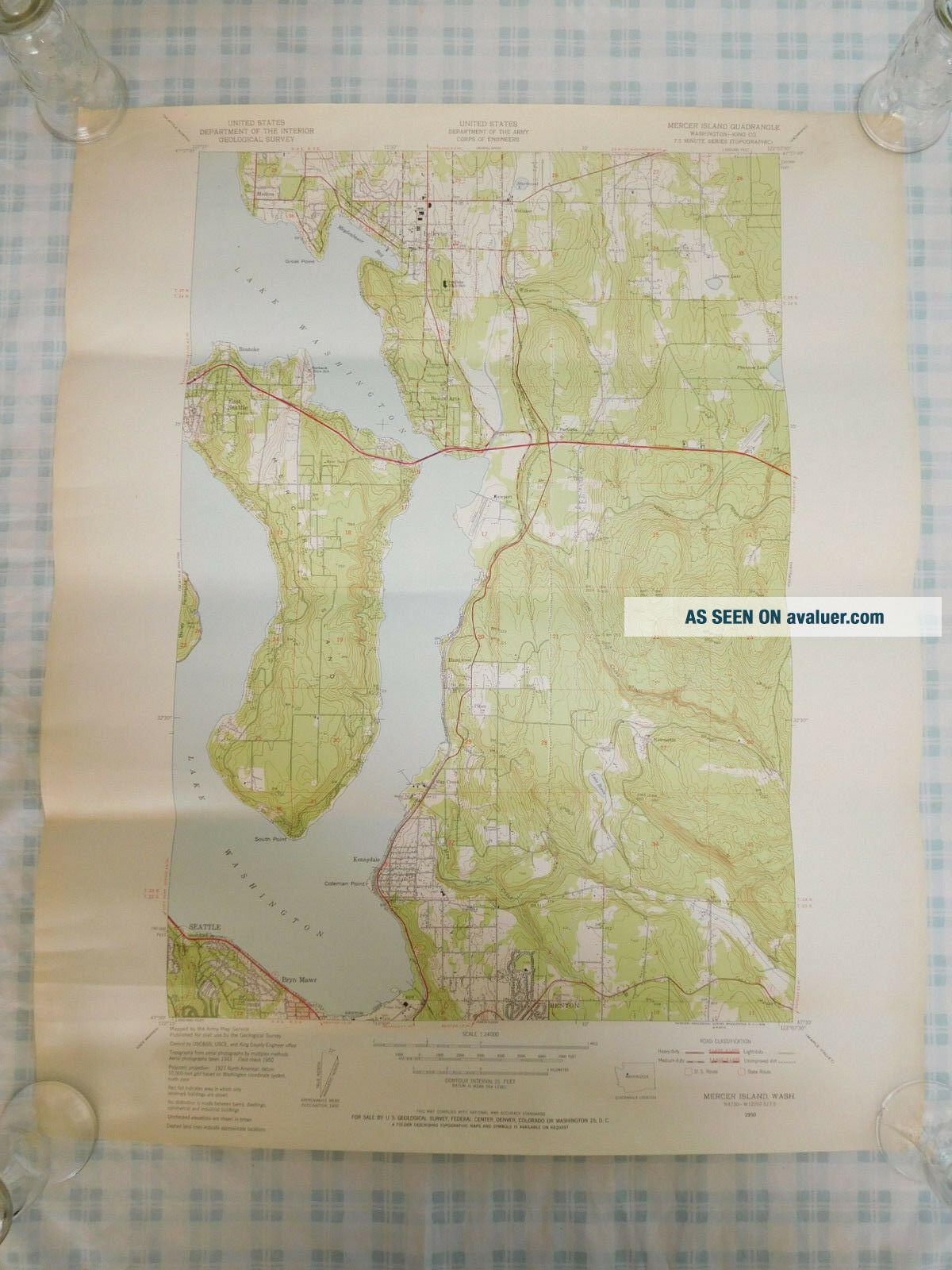
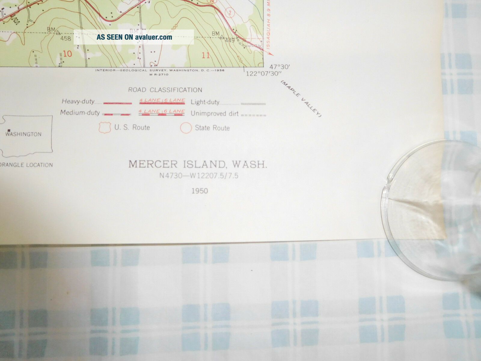
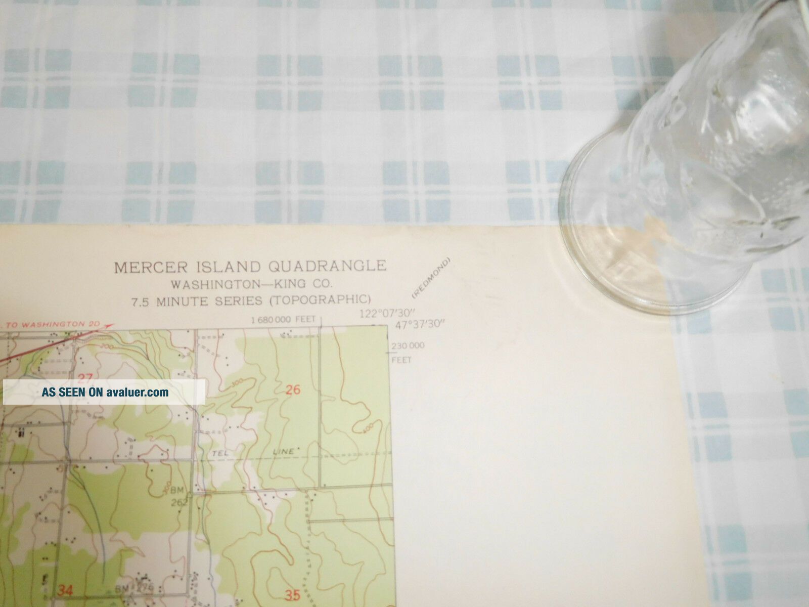
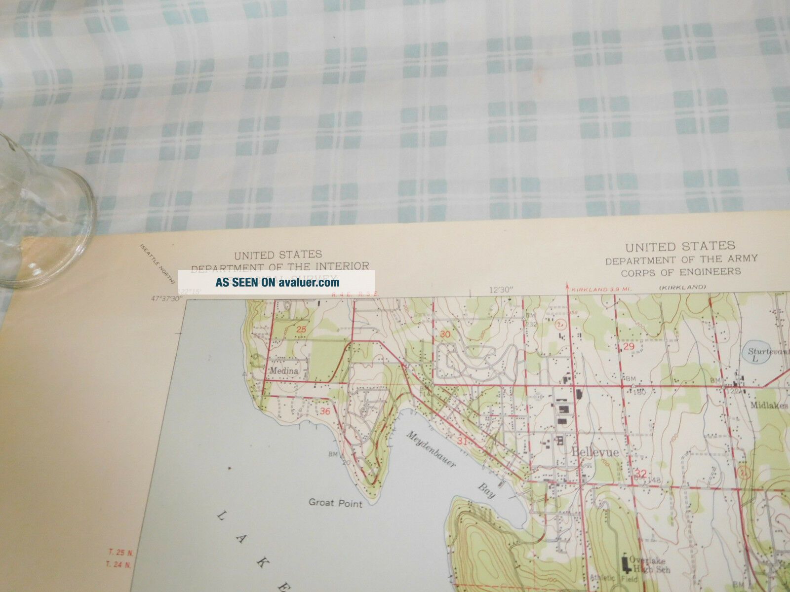
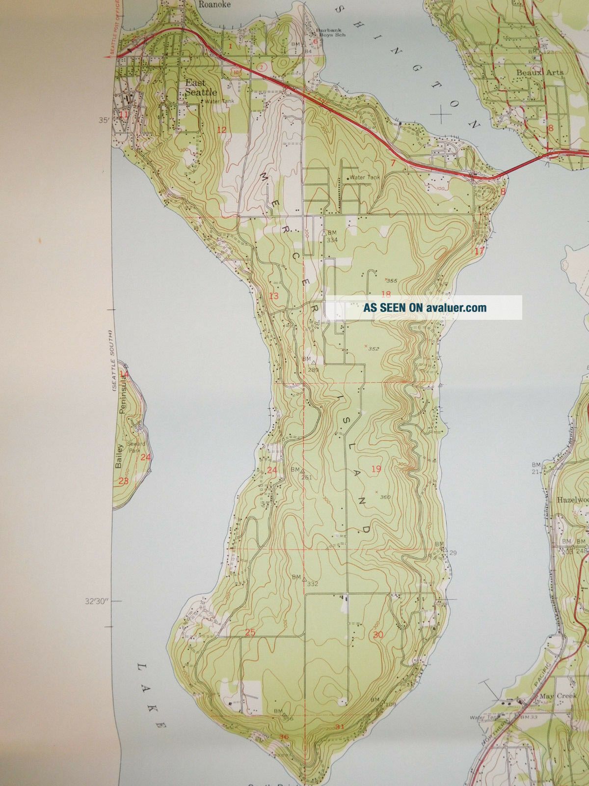
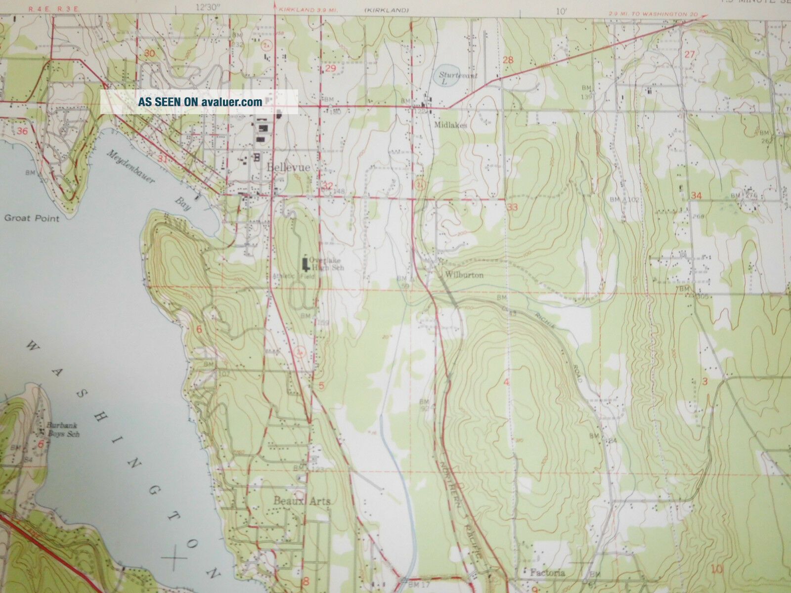
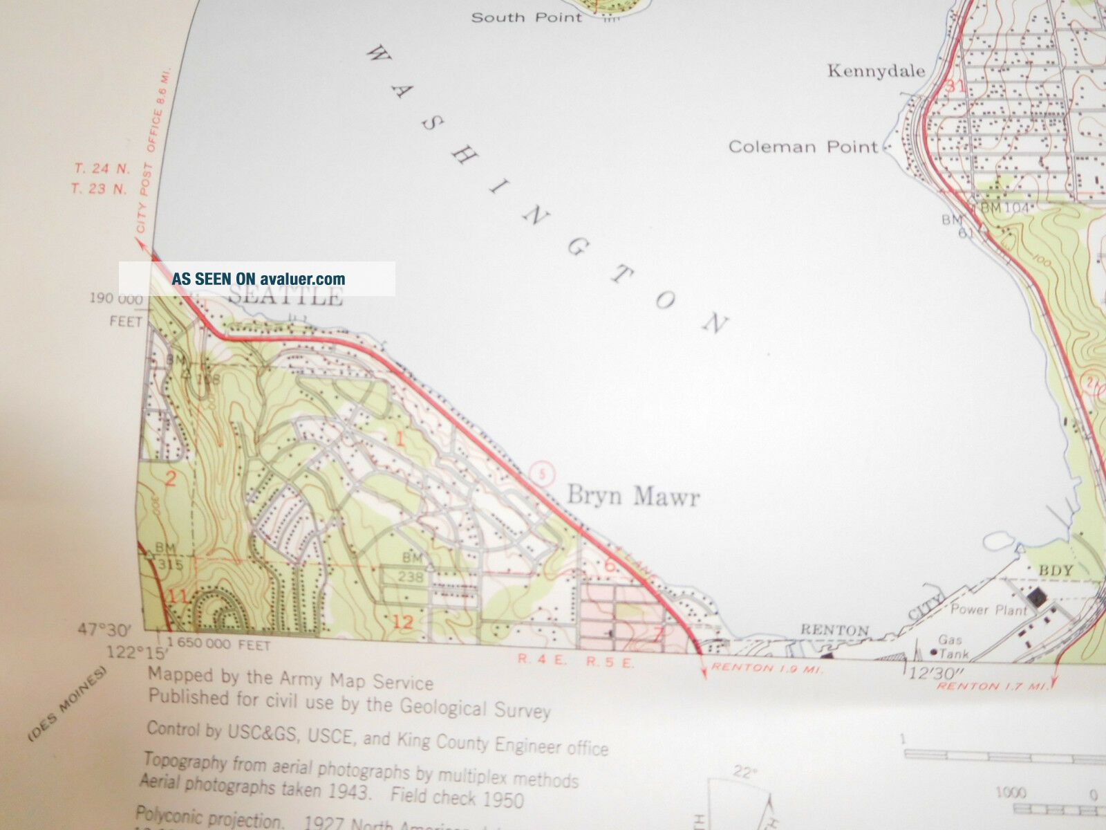
Vintage USGS Map Mercer Island Washington 1950 Topographic US Army Bellevue

Item History & Price
| Reference Number: Avaluer:44431 | US State: Washington |
Vintage USGS Map Mercer Island Washington 1950 Topographic US Army Bellevue
Original map, not a reproduction. Great item to have framed. Including borders map measures approximately 22 x 27 inches.
Includes Bellevue and other neighborhoods.
Fair/good used condition. Shows some wear. Shade of color in the pictures might vary some from actual color. Old paper product so has a slight old odor, could use a bit of airing out.
Shipping is done once or twice per week.<...br>