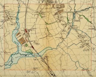
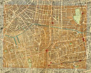
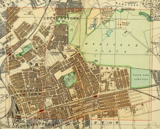
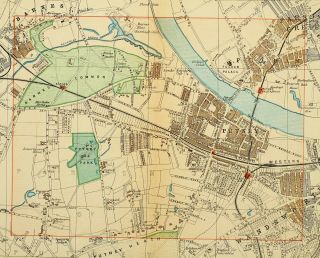
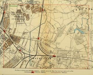
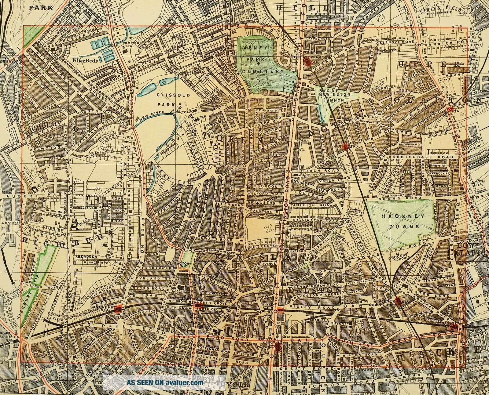
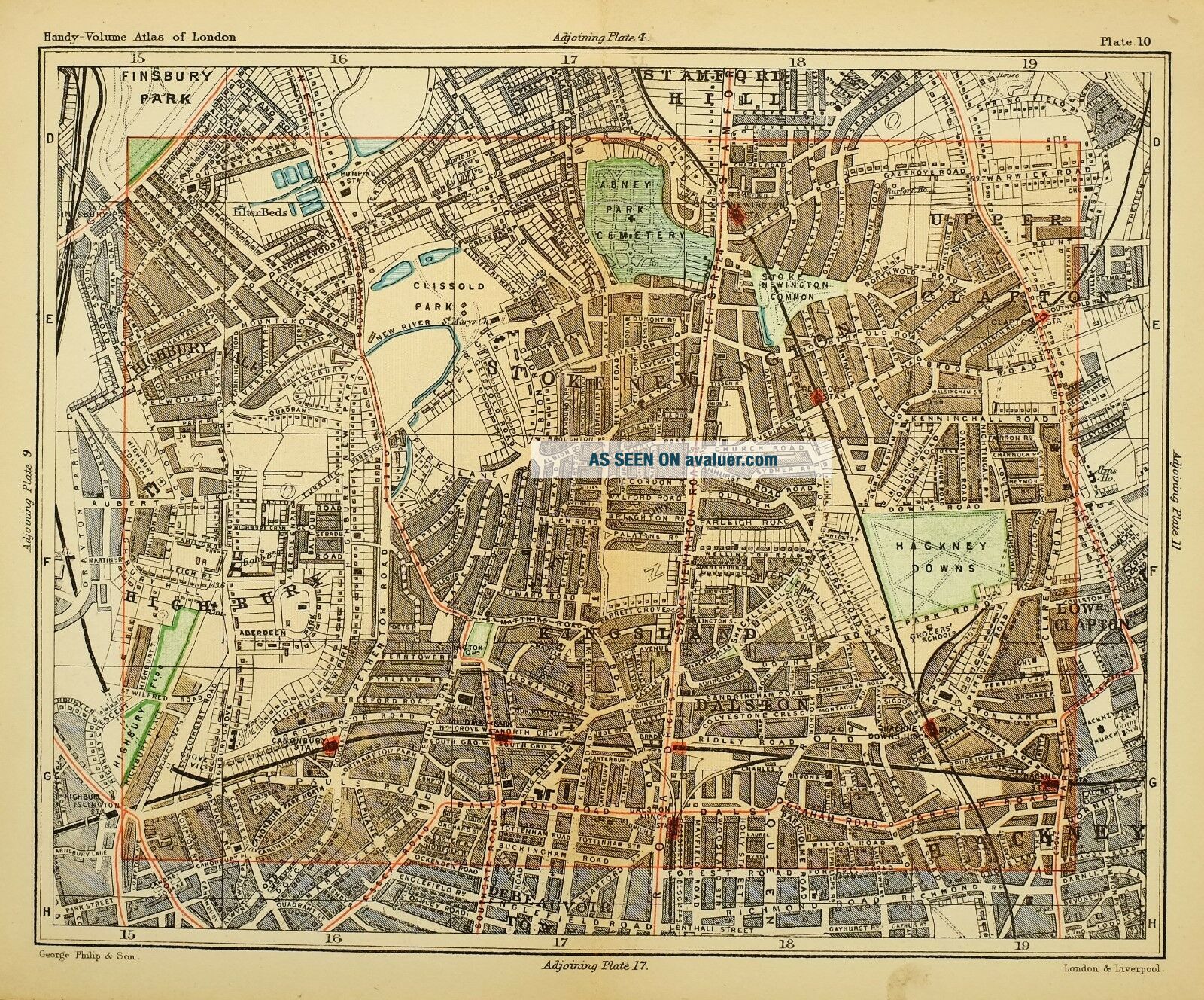
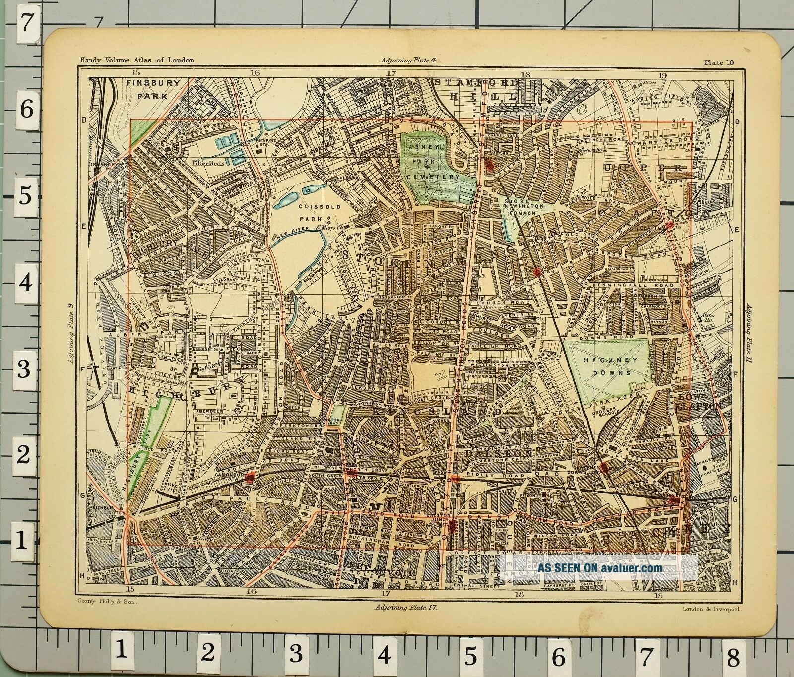
1891 VICTORIAN MAP STREET PLAN LONDON STOKE NEWINGTON HACKNEY DOWNS DALSTON


Item History & Price

Information:
Reference Number: Avaluer:45282Year: 1891
Era: 1800sCounty: London
Original/Reproduction: Antique OriginalCity: London
Original Description:
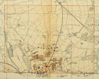
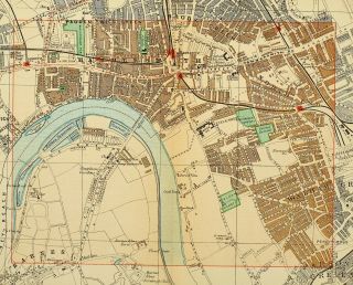
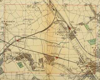
AN ORIGINAL ANTIQUE MAP OVER 125 YEARS OLDThis map is from a series produced forPhilips Handy Volume Atlas of London 1891
THIS LISTING IS FOR THE SINGLE MAP SHOWNThis single page fold-out map measures approximately  8 1/2 inches by 7 inches
Please message with any questions regarding this itemPhilips London 1891


    Similar items


  • 1891 Victorian Map Street Plan London The Hyde Oxgate Farm Welsh Harp Station

    1891 Victorian Map Street Plan London The Hyde Oxgate Farm Welsh Harp Station

  • 1891 Victorian Map Street Plan London Bethnal Green Debeauvoir Town Hospital

    1891 Victorian Map Street Plan London Bethnal Green Debeauvoir Town Hospital

  • 1891 Victorian Map Street Plan London Forest Gate Stratford Town Workhouse

    1891 Victorian Map Street Plan London Forest Gate Stratford Town Workhouse

  • 1891 Victorian Map Street Plan London Putney Barnes Common Fulham Palace

    1891 Victorian Map Street Plan London Putney Barnes Common Fulham Palace

  • 1891 Victorian Map Street Plan London Sydenham Neckenham Stations Kent House

    1891 Victorian Map Street Plan London Sydenham Neckenham Stations Kent House

  • 1891 Victorian Map Street Plan London Plaistow Farwig Bromley College

    1891 Victorian Map Street Plan London Plaistow Farwig Bromley College

  • 1891 Victorian Map Street Plan London Hammersmith Workhouse Fulham Cemetery

    1891 Victorian Map Street Plan London Hammersmith Workhouse Fulham Cemetery

  • 1891 Victorian Map Street Plan London Crickle Wood Willesden Green Stations

    1891 Victorian Map Street Plan London Crickle Wood Willesden Green Stations


    • You might also like


    • Hungary & Romania 1579 (1584) Ortelius Unusual Antique Copper Engraved Map

      Hungary & Romania 1579 (1584) Ortelius Unusual Antique Copper Engraved Map

    • Brussels Bruxelles Belfium 1777 De Ferraris & Dupuis Large Antique Map Sheet Xxi

      Brussels Bruxelles Belfium 1777 De Ferraris & Dupuis Large Antique Map Sheet Xxi

    • 1616 Atlas Map Of Iceland.

      1616 Atlas Map Of Iceland.

    • Kazan Russia 1767 Le Clerc/lespinasse Antique Copper Engraved City View

      Kazan Russia 1767 Le Clerc/lespinasse Antique Copper Engraved City View

    • 1899 Stanford,  Folding Map Of Norwich,  Norfolk,  Arthur Collins,  Jarrold & Sons,

      1899 Stanford, Folding Map Of Norwich, Norfolk, Arthur Collins, Jarrold & Sons,

    • 1948 Vintage Linen Colour Map Geological Survey Ten Mile Of Great Britain

      1948 Vintage Linen Colour Map Geological Survey Ten Mile Of Great Britain

    • 1944 Map Flying Bombs Sussex Ww2 Newspaper Military Kent Courier German V1 V2

      1944 Map Flying Bombs Sussex Ww2 Newspaper Military Kent Courier German V1 V2

    • Dated 1638 Vellum Map Of Icklesham Sussex Showing Land Uses Owners Etc

      Dated 1638 Vellum Map Of Icklesham Sussex Showing Land Uses Owners Etc

Avaluer          About Us          Privacy Policy          Contact Us          UP
© 2022, avaluer.net, Inc. or its affiliates