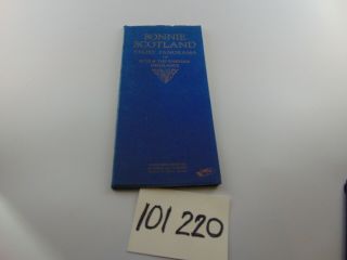
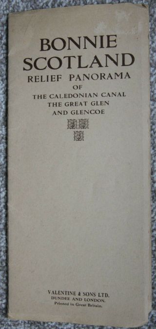
Vintage Bonnie Scotland Relief Panorama Skye & Western Highlands Map


Item History & Price
| Reference Number: Avaluer:45851976 | Type: Ordnance Survey Map |
| Country/Region: Scotland | Year: 1922 |
Vintage Bonnie Scotland Relief Panorama Skye & Western Highlands Map
A lovely Vintage Bonnie Scotland Relief Panorama Skye & Western Highlands Mapin a dark blue cover
The map is in good condition for it's age and usage
A lovely Vintage Bonnie Scotland Relief Panorama Skye & Western Highlands Mapin a dark blue cover
The map is in good condition for it's age and usage