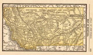
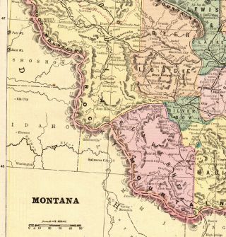
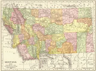
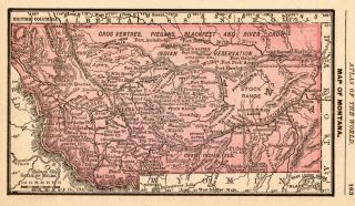
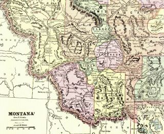
1917 Antique Montana State Map Vintage Map Of Montana Gallery Wall 8203


Item History & Price

Information:
Reference Number: Avaluer:46670851Original/Reproduction: Antique Original
US State: MontanaFormat: Atlas Map
Date Range: 1910-1919Type: World Atlas
Country/Region: United States of AmericaYear: 1917
Original Description:
ANTIQUE ORIGINAL MONTANA STATE MAP Pretty antique Montana map which was carefully removed from an atlas.  This map measures approximately 8.5" by 10.5" (not including the index), full page measures about 11" by 15."It is in very good condition - please notice border soiling on bottom right corner. The map will be carefully packaged and shipped First Class. Please email with questions, I will answer your email promptly! Please visit my ebay store, Plaindealing Vintage Paper. ...;
Powered by eBay Turbo Lister
The free listing tool. List your items fast and easy and manage your active items.


    Similar items


  • 1888 Miniature Antique Montana State Map Rare Size Vintage Map Of Montana 6397

    1888 Miniature Antique Montana State Map Rare Size Vintage Map Of Montana 6397

  • 1892 Antique Montana State Map Vintage Map Of Montana Gallery Wall Art 6222

    1892 Antique Montana State Map Vintage Map Of Montana Gallery Wall Art 6222

  • 1917 Antique Michigan State Map Gallery Wall Art Vintage Map Of Michigan 6696

    1917 Antique Michigan State Map Gallery Wall Art Vintage Map Of Michigan 6696

  • 1915 Antique Montana State Map Vintage Map Of Montana Gallery Wall Art 6627

    1915 Antique Montana State Map Vintage Map Of Montana Gallery Wall Art 6627

  • 1888 Miniature Antique Montana State Map Rare Size Vintage Map Of Montana 7033

    1888 Miniature Antique Montana State Map Rare Size Vintage Map Of Montana 7033

  • 1917 Antique Louisiana State Map Vintage Map Of Louisiana Gallery Wall Art 8204

    1917 Antique Louisiana State Map Vintage Map Of Louisiana Gallery Wall Art 8204

  • 1891 Antique Montana State Map Vintage Cram

    1891 Antique Montana State Map Vintage Cram ' S Map Of Montana Wall Art 8708


    • You might also like


    • 1860 Mitchell Hand Colored Map Colorado,  Nebraska & Kansas - Civil War Era

      1860 Mitchell Hand Colored Map Colorado, Nebraska & Kansas - Civil War Era

    • 18th Century French Map Of North America

      18th Century French Map Of North America

    • Las Vegas Nevada Vintage 1967 Us Geological Survey Quadrangle Map 4 Panels

      Las Vegas Nevada Vintage 1967 Us Geological Survey Quadrangle Map 4 Panels

    • Rare Antique 1845 Maps United States Exploring Expedition Book Antartica Hawaii

      Rare Antique 1845 Maps United States Exploring Expedition Book Antartica Hawaii

    • Vintage 1926 Map Hollywood From The Best Surveys Of The Time

      Vintage 1926 Map Hollywood From The Best Surveys Of The Time

    • American Continent (western Hemisphere) 1747 Bowen Antique Copper Engraved Map

      American Continent (western Hemisphere) 1747 Bowen Antique Copper Engraved Map

    • Gulf Coast Florida Texas United States 1705 De Fer Unusual Antique Engraved Map

      Gulf Coast Florida Texas United States 1705 De Fer Unusual Antique Engraved Map

    • California As Island United States 1700 De Fer Unusual First Edition Antique Map

      California As Island United States 1700 De Fer Unusual First Edition Antique Map

Avaluer          About Us          Privacy Policy          Contact Us          UP
© 2022, avaluer.net, Inc. or its affiliates