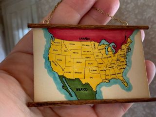
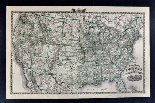
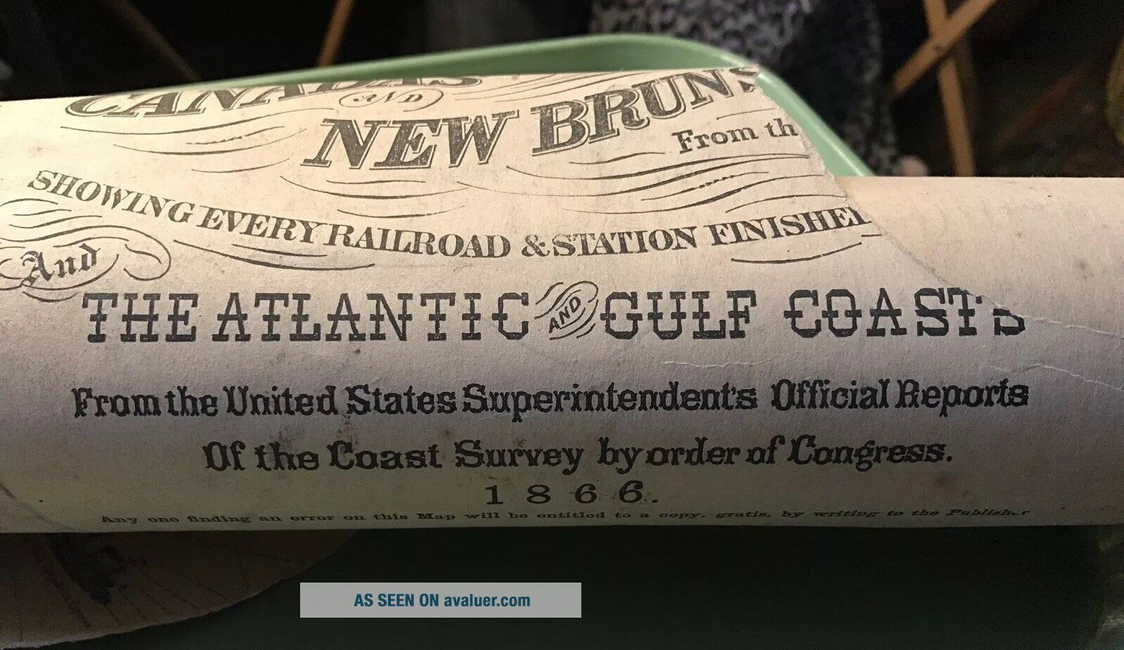
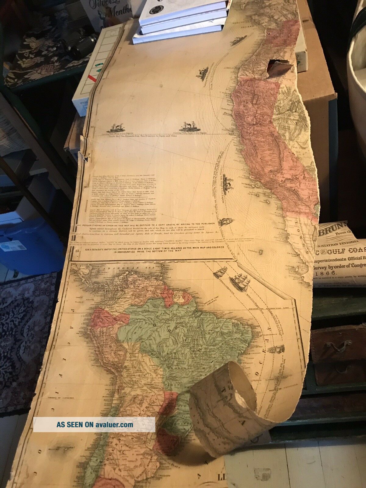
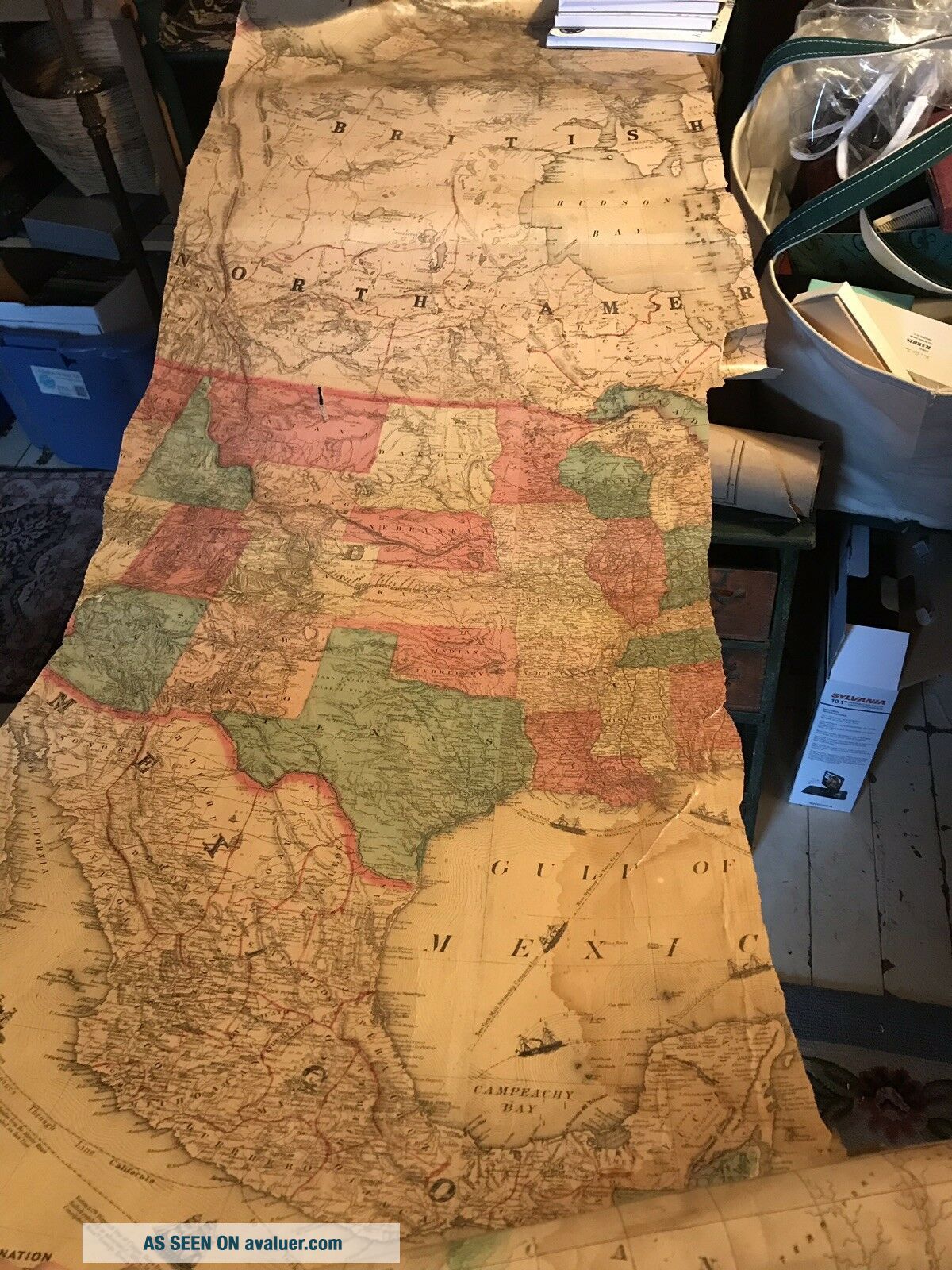
1866 WALL Map United States Canada Brunswick - Ships Chunks Graphics


Item History & Price

Information:
Reference Number: Avaluer:47266Year: 1866
Date Range: 1800-1899Format: Wall Map
US State: AllType: Geological Map
Printing Technique: LithographyTopic: Maps
Mexican State: AllCanadian Province: New Brunswick
Country/Region: United States of AmericaOriginal/Reproduction: Original
Original Description:
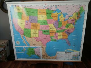
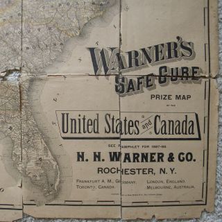
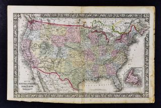
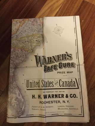
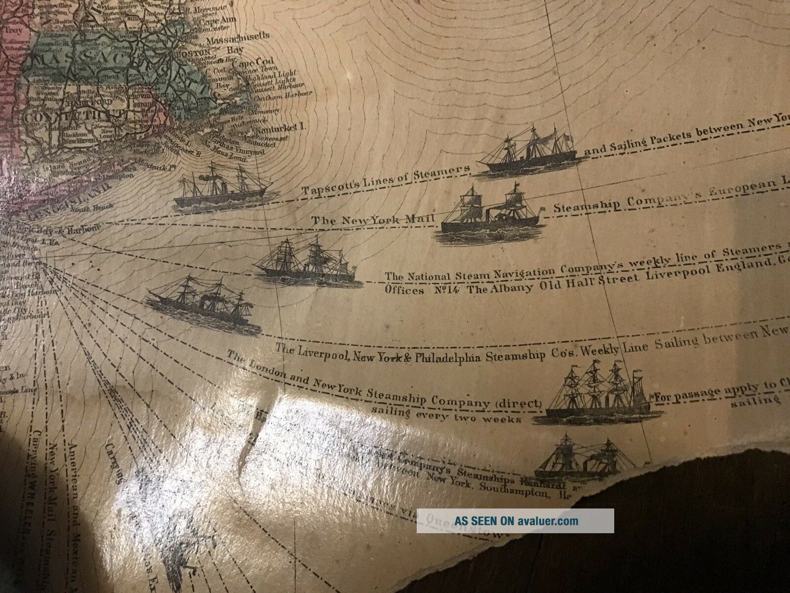
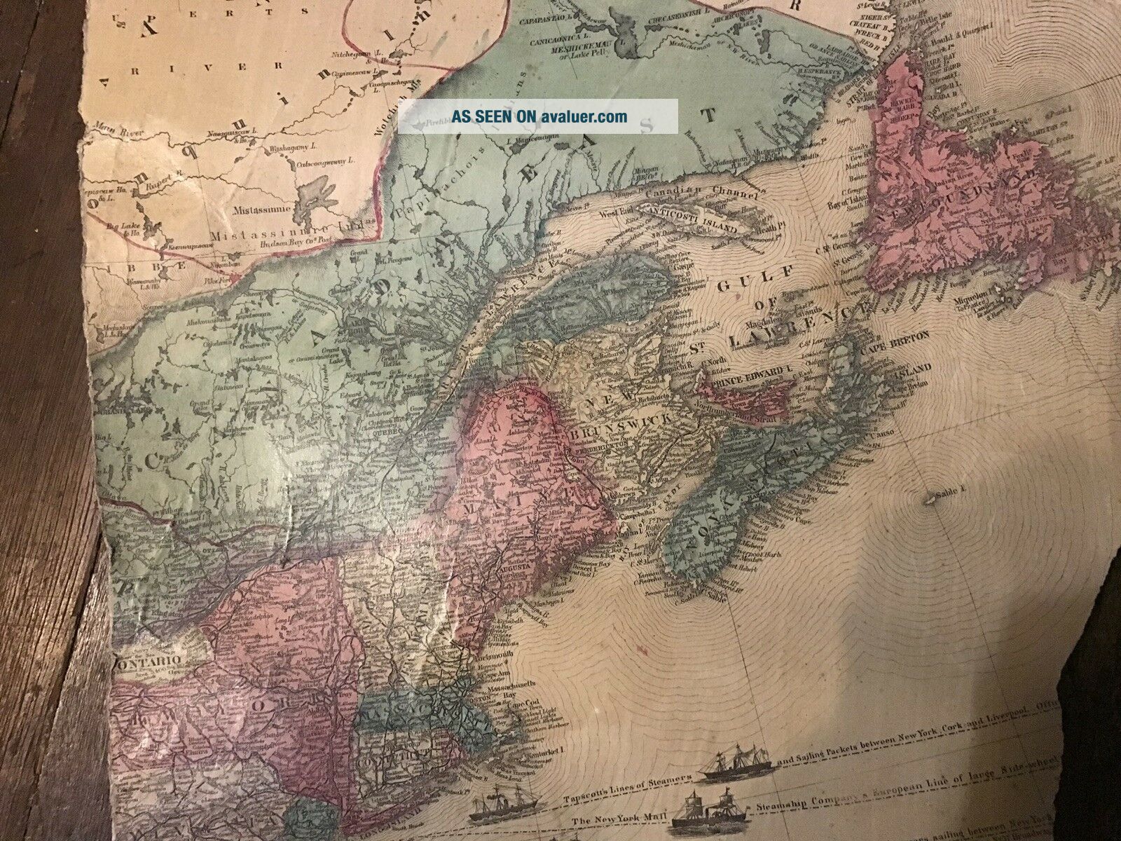
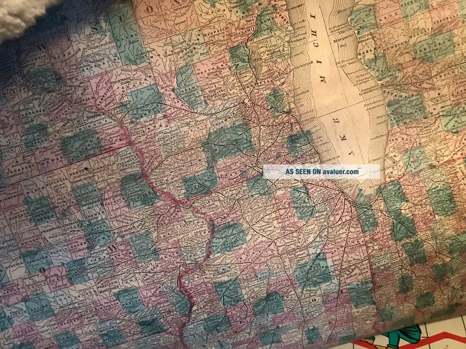
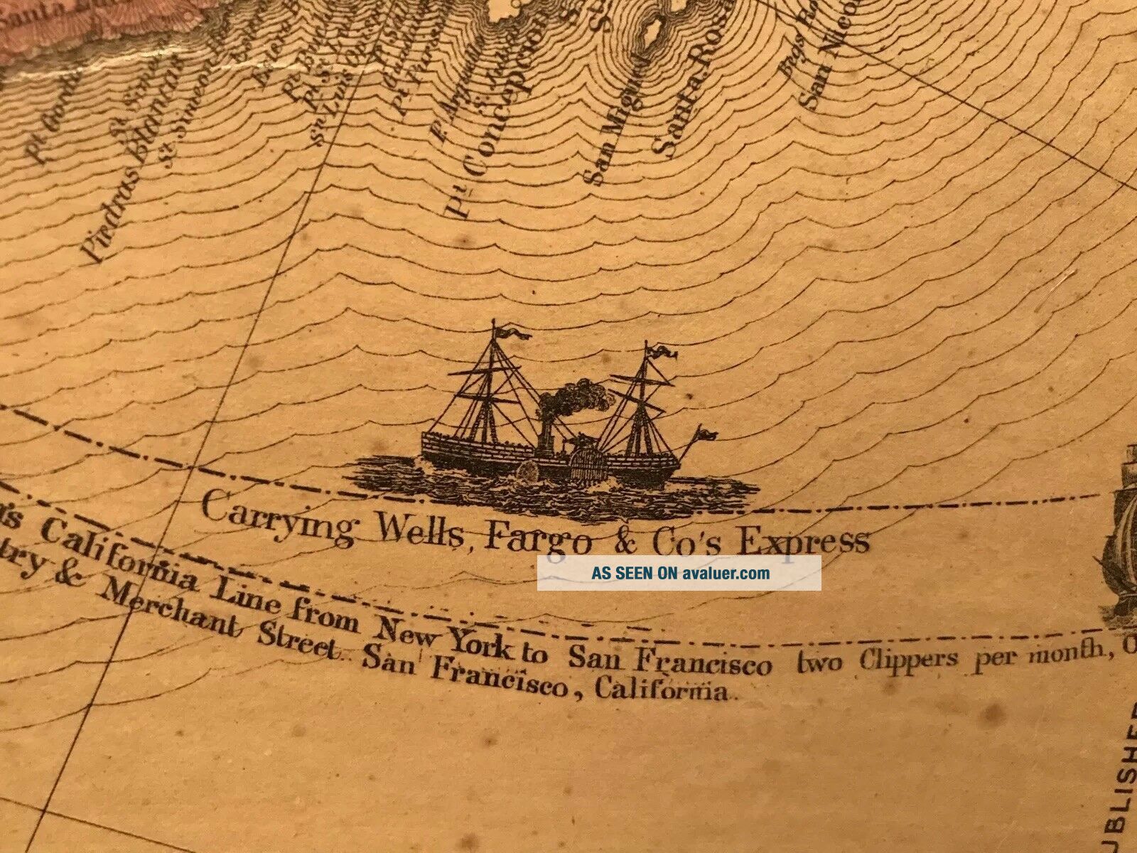
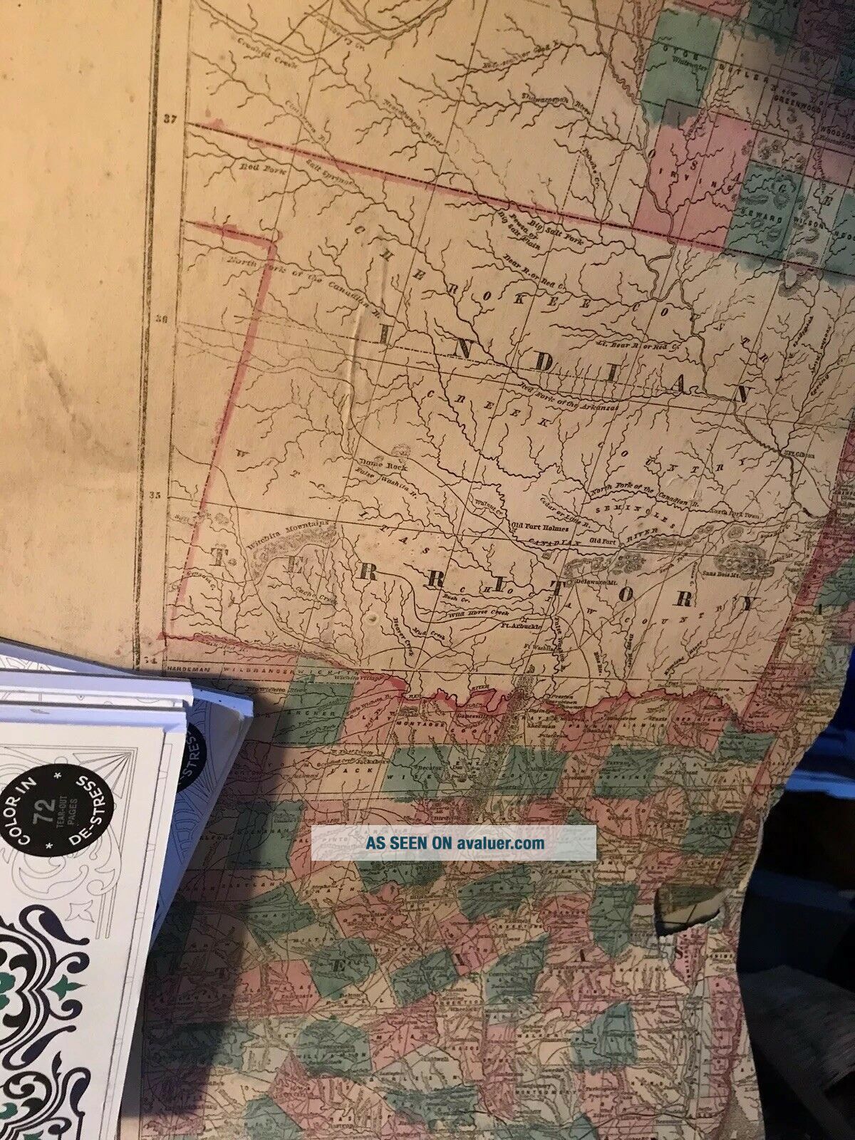
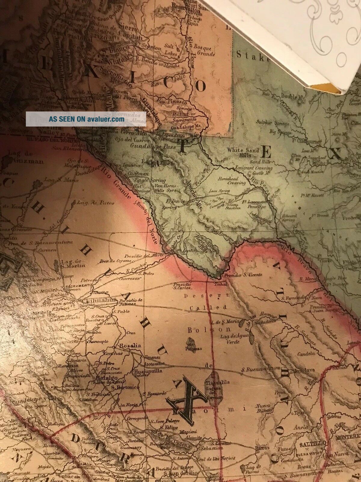
3 huge chunks of very early map with fabulous detailed and colorful graphics of ships and states. Historical! Perfect for paper art. Both sides are printed, one side glossy, both sides with color. Very unique and with lots of paper graphics to use. I really love the little ships in such detail. I can see them in pendants.Please view all photos to get an idea of what you will get. I believe this was a school map. It rolled down and would nearly cover a small wall. Now it is in 3 large c...hunks.


    Similar items


  • Vtg Nystrom Pull Down Wall Map United States & World School Classroom 2 Layers

    Vtg Nystrom Pull Down Wall Map United States & World School Classroom 2 Layers

  • Warner

    Warner ' S Safe Cure Prize Map United States Canada 1887 Antique Rr Map

  • 1864 Mitchell Map - United States Canada Indian Dakota Wyoming Indian Territory

    1864 Mitchell Map - United States Canada Indian Dakota Wyoming Indian Territory

  • 1887 Warner

    1887 Warner ' S Safe Cure Prize Map United States Canada Patent Medicine Antique

  • 1960s Vintage Miniature Dollhouse Wall Map United States School Hand Painted

    1960s Vintage Miniature Dollhouse Wall Map United States School Hand Painted

  • Vintage State Farm Road Atlas Map United States Canada Mexico 1979

    Vintage State Farm Road Atlas Map United States Canada Mexico 1979

  • Vtg Nystrom Pull Down Wall Map United States & World School Classroom 4 Layers

    Vtg Nystrom Pull Down Wall Map United States & World School Classroom 4 Layers

  • 1876 Warner Beers Railroad Map United States & Canada Indian Territory Ok Dakota

    1876 Warner Beers Railroad Map United States & Canada Indian Territory Ok Dakota


    • You might also like


    • 1860 Mitchell Hand Colored Map Colorado,  Nebraska & Kansas - Civil War Era

      1860 Mitchell Hand Colored Map Colorado, Nebraska & Kansas - Civil War Era

    • 18th Century French Map Of North America

      18th Century French Map Of North America

    • Las Vegas Nevada Vintage 1967 Us Geological Survey Quadrangle Map 4 Panels

      Las Vegas Nevada Vintage 1967 Us Geological Survey Quadrangle Map 4 Panels

    • Rare Antique 1845 Maps United States Exploring Expedition Book Antartica Hawaii

      Rare Antique 1845 Maps United States Exploring Expedition Book Antartica Hawaii

    • Vintage 1926 Map Hollywood From The Best Surveys Of The Time

      Vintage 1926 Map Hollywood From The Best Surveys Of The Time

    • American Continent (western Hemisphere) 1747 Bowen Antique Copper Engraved Map

      American Continent (western Hemisphere) 1747 Bowen Antique Copper Engraved Map

    • Gulf Coast Florida Texas United States 1705 De Fer Unusual Antique Engraved Map

      Gulf Coast Florida Texas United States 1705 De Fer Unusual Antique Engraved Map

    • California As Island United States 1700 De Fer Unusual First Edition Antique Map

      California As Island United States 1700 De Fer Unusual First Edition Antique Map

Avaluer          About Us          Privacy Policy          Contact Us          UP
© 2022, avaluer.net, Inc. or its affiliates