1846 - 5 GREECE GULF OF PATRAS VINTAGE ADMIRALTY CHART MAP
Item History & Price
| Reference Number: Avaluer:48010 | Format: Sheet Map |
GENUINE VINTAGE ADMIRALTY CHART
OF
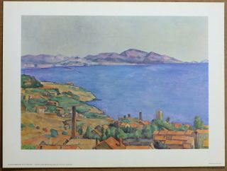
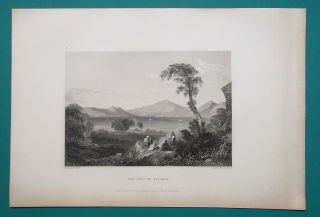
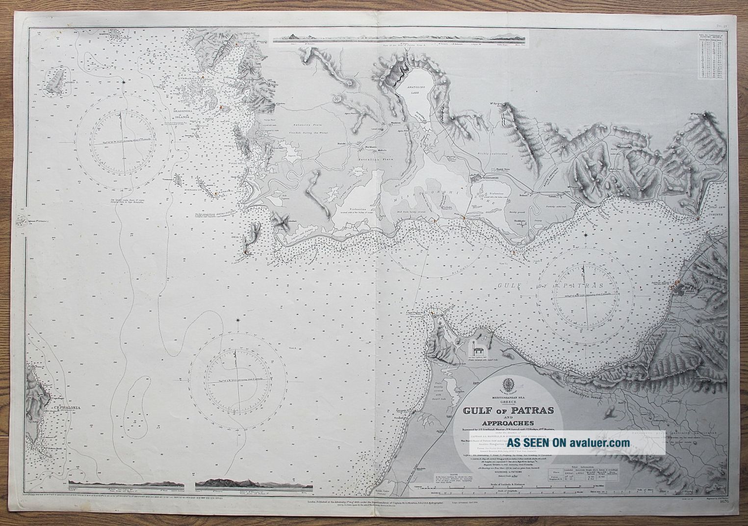
GULF OF PATRASSurveyed 1864-5
Hydrographic charts or Admiralty charts are maps designed as aids to navigation at sea. They are produced by the British Admiralty. The Hydrographic Office, a sub-department of the British Admiralty, was established in 1795 and issued its first officially published Admiralty chart in November 1800. Admiralty charts show navigational hazards such as reefs and wrecks, and navigational aids such a...s lights, buoys and beacons. Nineteenth-century charts may show coastal elevations and topographic views, useful to identify landfalls and prominent fixing marks. They may also include details of coastal forts and other defenses. Admiralty charts are continually updated and corrected. These corrections were often made by amending the original engraved plate and issuing the chart as a new edition; in other cases the chart was completely re-drawn.
DESCRIPTION/CONDITION: Chart Number 1676. Published London at the Admiralty 1892. Large corrections to 1904, Small corrections to 1926. Sold by J. D. Potter, Agent for the Sale of the Admiralty Charts. Large steel engraved admiralty chart with centre fold as issued, on heavy grade paper measuring overall 102cm x 70cm (40" x 27.5"). Condition: occasional small marks and light handling creases - please refer to images and examine carefully.
Genuine rare (could not find another) chart on heavy grade paper with last correction (update) to 1926 - this edition is genuinely almost 90 years old and not a recent copy or recent printing as, you will find, most charts are. As charts were updated (corrected) and newer editions issued, previous versions would be discarded, and it is a wonder that these old editions have survived to this day.
MONEY BACK GUARANTEE IF NOT COMPLETELY SATISFIED.OFFERS CONSIDERED FOR A QUICK SALE.
134
Track Page Views With
Auctiva's FREE Counter
OF
GULF OF PATRASSurveyed 1864-5
Hydrographic charts or Admiralty charts are maps designed as aids to navigation at sea. They are produced by the British Admiralty. The Hydrographic Office, a sub-department of the British Admiralty, was established in 1795 and issued its first officially published Admiralty chart in November 1800. Admiralty charts show navigational hazards such as reefs and wrecks, and navigational aids such a...s lights, buoys and beacons. Nineteenth-century charts may show coastal elevations and topographic views, useful to identify landfalls and prominent fixing marks. They may also include details of coastal forts and other defenses. Admiralty charts are continually updated and corrected. These corrections were often made by amending the original engraved plate and issuing the chart as a new edition; in other cases the chart was completely re-drawn.
DESCRIPTION/CONDITION: Chart Number 1676. Published London at the Admiralty 1892. Large corrections to 1904, Small corrections to 1926. Sold by J. D. Potter, Agent for the Sale of the Admiralty Charts. Large steel engraved admiralty chart with centre fold as issued, on heavy grade paper measuring overall 102cm x 70cm (40" x 27.5"). Condition: occasional small marks and light handling creases - please refer to images and examine carefully.
Genuine rare (could not find another) chart on heavy grade paper with last correction (update) to 1926 - this edition is genuinely almost 90 years old and not a recent copy or recent printing as, you will find, most charts are. As charts were updated (corrected) and newer editions issued, previous versions would be discarded, and it is a wonder that these old editions have survived to this day.
MONEY BACK GUARANTEE IF NOT COMPLETELY SATISFIED.OFFERS CONSIDERED FOR A QUICK SALE.
134
Track Page Views With
Auctiva's FREE Counter