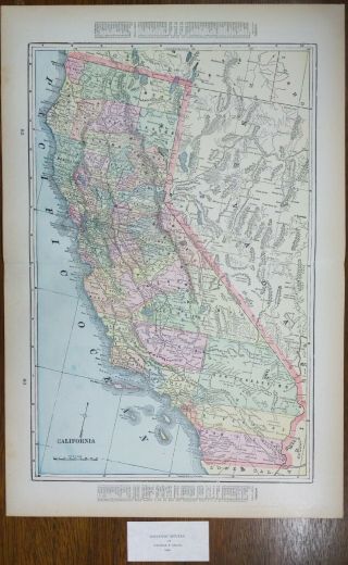
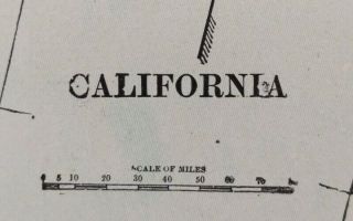
Vintage 1900 CALIFORNIA Map 14 " X22 " Old Antique SACRAMENTO SAN DIEGO


Item History & Price

Information:
Reference Number: Avaluer:48161054US State: California
Cartographer/Publisher: George CramYear: 1900
Type: Beautiful turn of the century map suitable for framingOriginal/Reproduction: Antique Original
Date Range: 1900-1909City: Sacramento
Country/Region: United States of AmericaFormat: Atlas Map
Original Description:
"An Authentic Original Map Not A Reproduction"
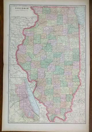
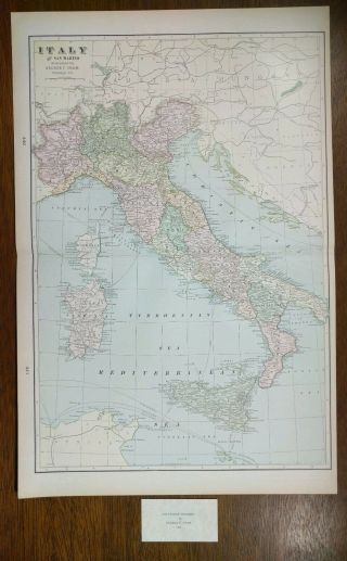
Offered for your consideration is a beautiful antique original turn of the century map of California. This vintage 14 1/2" x 22" map is in VERY GOOD condition with light tone, soil and a fold in the middle as issued, from a disbound Cram's atlas ©1900.
FREE SHIPPING Your map will be shipped in a plastic sleeve rolled in a cardboard tube with USPS tracking.

Please view our other 1000+ maps on sale today in our eBay store....
Thank you.


    Similar items


  • Vintage 1900 California Map 14 " X22 " Old Antique Gold Rush Santa Fe

    Vintage 1900 California Map 14 " X22 " Old Antique Gold Rush Santa Fe

  • Vintage 1900 California Map 14 " X22 " Old Antique Hollister Sacramento

    Vintage 1900 California Map 14 " X22 " Old Antique Hollister Sacramento

  • Vintage 1900 Mississippi Map 14 " X22 " Old Antique Ellisville Monticello

    Vintage 1900 Mississippi Map 14 " X22 " Old Antique Ellisville Monticello

  • Vintage 1900 Africa Map 14 " X22 " Old Antique Kimberley Pretoria

    Vintage 1900 Africa Map 14 " X22 " Old Antique Kimberley Pretoria

  • Vintage 1900 Illinois Map 14 " X22 " Old Antique Chicago Cicero Eureka Springfield

    Vintage 1900 Illinois Map 14 " X22 " Old Antique Chicago Cicero Eureka Springfield

  • Vintage 1900 Minnesota Map 14 " X22 " Old Antique Duluth Grand Marais Winona

    Vintage 1900 Minnesota Map 14 " X22 " Old Antique Duluth Grand Marais Winona

  • Vintage 1900 Italy Map 14 " X22 " Old Antique Florence Milan Naples Rome

    Vintage 1900 Italy Map 14 " X22 " Old Antique Florence Milan Naples Rome


    • You might also like


    • 1860 Mitchell Hand Colored Map Colorado,  Nebraska & Kansas - Civil War Era

      1860 Mitchell Hand Colored Map Colorado, Nebraska & Kansas - Civil War Era

    • 18th Century French Map Of North America

      18th Century French Map Of North America

    • Las Vegas Nevada Vintage 1967 Us Geological Survey Quadrangle Map 4 Panels

      Las Vegas Nevada Vintage 1967 Us Geological Survey Quadrangle Map 4 Panels

    • Rare Antique 1845 Maps United States Exploring Expedition Book Antartica Hawaii

      Rare Antique 1845 Maps United States Exploring Expedition Book Antartica Hawaii

    • Vintage 1926 Map Hollywood From The Best Surveys Of The Time

      Vintage 1926 Map Hollywood From The Best Surveys Of The Time

    • American Continent (western Hemisphere) 1747 Bowen Antique Copper Engraved Map

      American Continent (western Hemisphere) 1747 Bowen Antique Copper Engraved Map

    • Gulf Coast Florida Texas United States 1705 De Fer Unusual Antique Engraved Map

      Gulf Coast Florida Texas United States 1705 De Fer Unusual Antique Engraved Map

    • California As Island United States 1700 De Fer Unusual First Edition Antique Map

      California As Island United States 1700 De Fer Unusual First Edition Antique Map

Avaluer          About Us          Privacy Policy          Contact Us          UP
© 2022, avaluer.net, Inc. or its affiliates